Cold buns, no warming oven.

Morning, day four. Looks hopeful, right?
This trip is getting dim in my memory, but it's taken a long time to get through all the photos. That sounds almost like a good excuse, right? If I come across a better one I'll come back and edit it in, but for now that's my story and I'm running with it.

Leaving Dark Meadow by the rear exit.
I started this trip toward the end of July, 2010, but was surprised to find deep, old hard snow at the end of the first day.

So what's up higher? Mmmm.
The last three seasons around here have been rough for backpacking -- heavy snow late in the season, summers cool, cloudy, and late to arrive. And 2011 isn't looking any better. Been raining like crazy here all winter.

Maybe if I look up? .... Mmmm.
But last summer was a real booger.
The second and last time I started this trip in late August the day was bright and sunny, a situation that ended about two hours later. But it wasn't bad. The first day was pleasantly cool, and dry. Days two and three were about the same, with occasional sun. Overnight lows were in the 40s and 50s, Fahrenheit (~ 8 to 15 C)

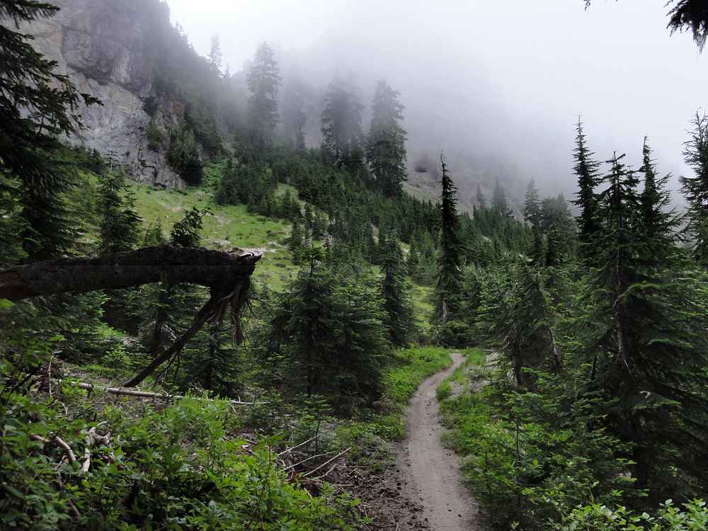
Is the trail any better? Well, it's visible.
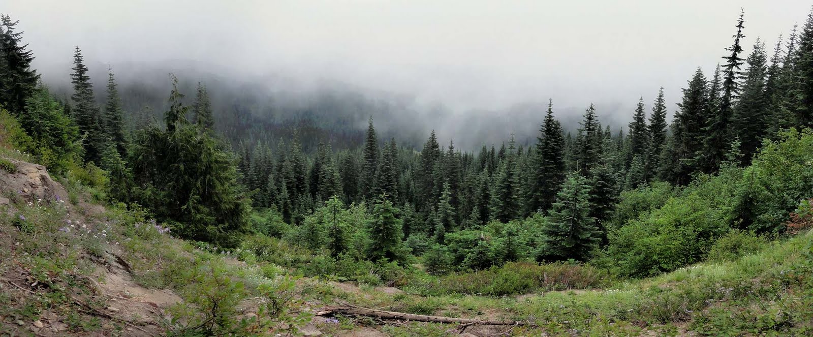
The fourth day brought a lot of mist, and never warmed. The high for the day was around 45F (7C), not exactly calm, but not breezy -- sort of drafty. OK for hiking, but chilly on stops of more than a few minutes.

Let's see...plants not frozen off yet.
This was also my first real encounter with motorcyclists in this area. Strangely, I can't find any photos of them. I remember taking a few but I must have been hallucinating again. I need to take more people pix.
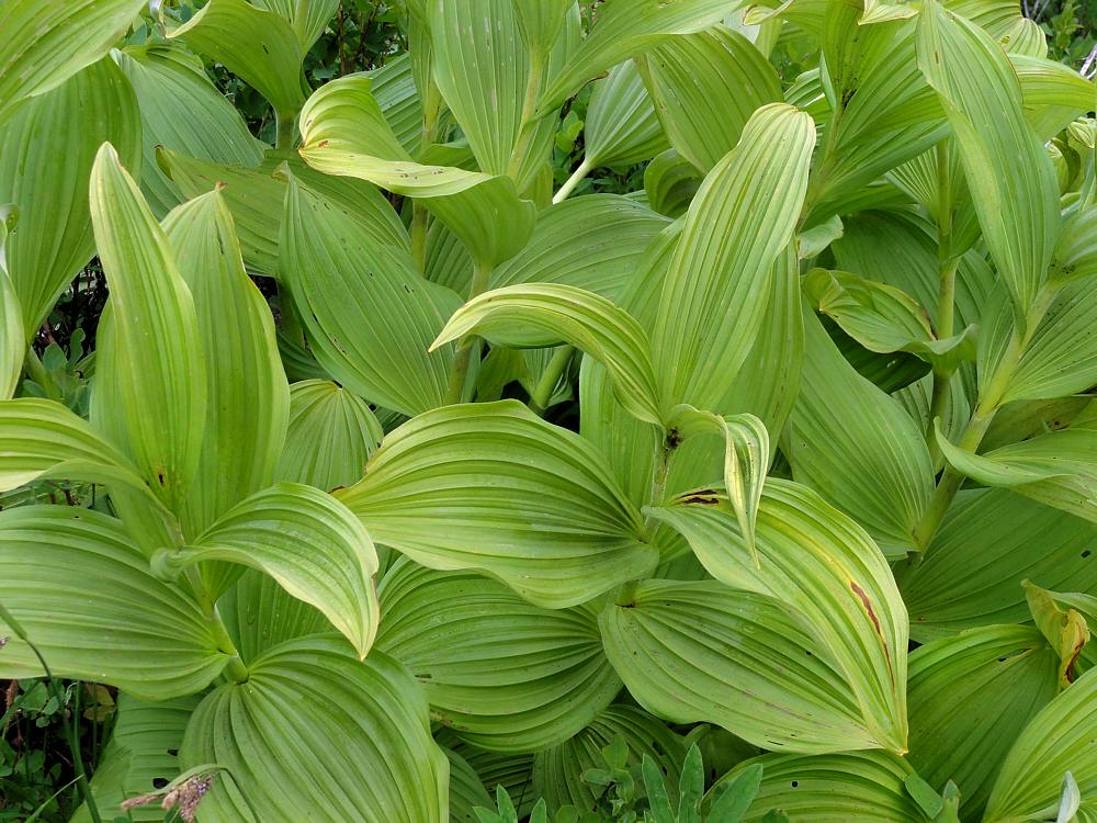
Plants actually look as though they like it here.
Out of Dark Meadow, which is a nice place, going west, you climb halfway up Dark Mountain before dropping way down, then go up the very long Yellowjacket Pass, which was where I met my first group of cyclists. The good news is that you can hear them coming, even if you can't always tell if they're coming toward you or going away, or are ahead or behind.
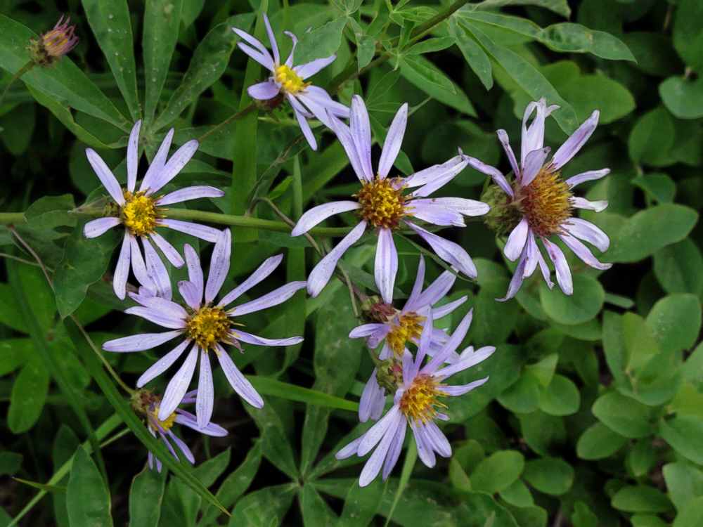
The plants have the only cheery colors left. Unlike me, for example.
The bad news is that they kick up huge amounts of dust. Over the seasons motorcycle tires have badly ripped up the trails and have left thick layers of soft dust in deep trenches where the trail tread used to be. I have literally had my entire foot disappear into the dust. More than once.
Maybe if I look back east. Hope there? Nope, nope.
The first group was only a handful, but farther up I got tangled in a group of maybe 15 riders.
I heard them coming from behind, and stepped off trail, usually up, and behind the nearest tree. This sounds odd. OK. I started a game once when I was around eight years old. Being invisible. Color me kinky but it's kind of fun. Helps preserve the illusion that everyone is out there alone too.
Back to my friends, the foliages.
The problem was that right after the last of the group got past they would all stop. I don't know why. When I went mountain biking I tried going with other people but they did the same thing -- ride for five minutes and then stop and talk about it. Not like road riding.

On them, blue looks good. Not on my hands though.
Anyway, they'd stop, and then I would catch up with them, and ease past after a while, because I didn't want to stand and wait around, and then they'd come up again from behind. Though it was fun spooking them out by constantly reappearing from behind when as far as they knew, they hadn't passed me.

Pretty. I wonder what it is. Seems happier than me.
Actually pretty nice people, but motorcycling and backpacking aren't really compatible uses. Horses are bad enough, but if you shoot a horse it gives up. Not so for motorcycles.

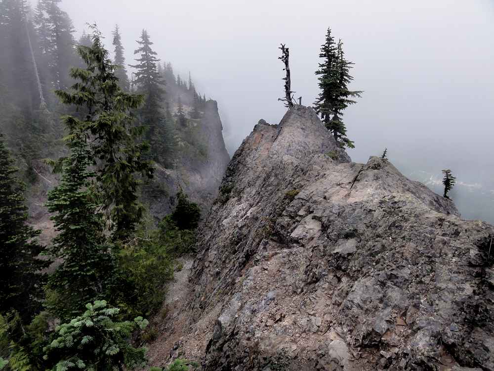
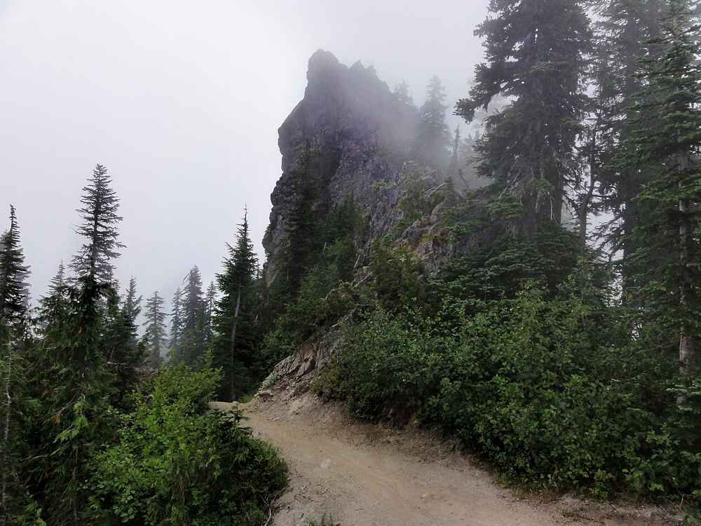
More trail around the Shark Rock/Kirk Rock area. Lovely-friendly, innit?
When I finally got out of the Yellowjacket Pass area the cyclists kept going southeast while I headed west. Between Snagtooth Mountain and Craggy Peak I stopped for lunch, around 1 p.m. By then things were getting drippy.
This was odd. Had never seen it before.

Old crumbly basalt, the bones of this place.
The day was dry, but there was heavy dry fog all around, and it condensed on the trees up high, and then the water dripped off like rain. No trees, no rain, all fine. Under the trees you got soaked. There was a stretch between Craggy Peak and Badger Lake (on the maps below) where there were little streams flowing down the trail. The air was dry (if cold), the ground was bone dry, but in the middle of the trail, meandering through the dust, were small streams.
If this is summer, what could winter be like?
In late afternoon I suffered through a sponge bath at Badger Lake, which is the only body of water in the middle section of this trail, and kept heading west. The best part of the day was finding a camp site.
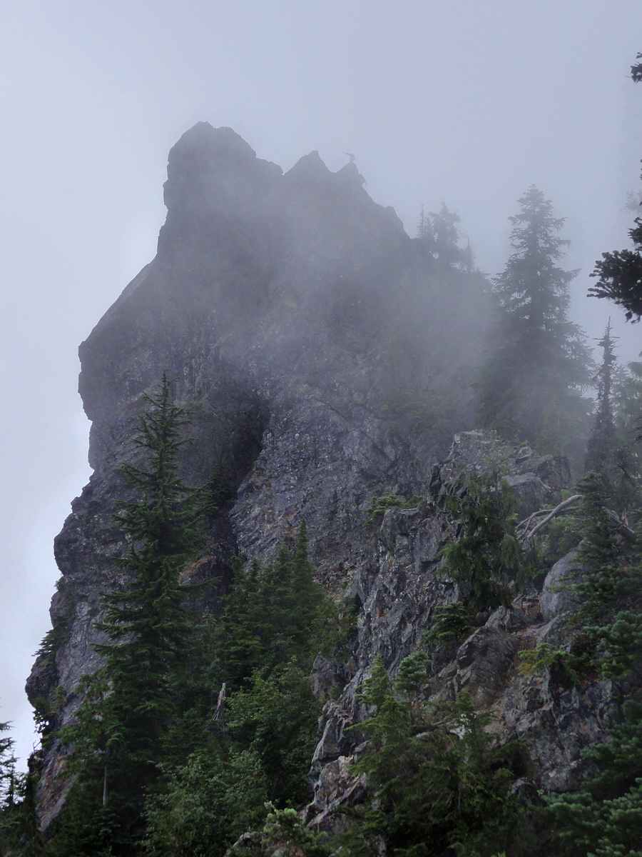
It's good you can't fall up. Me no want fall here.
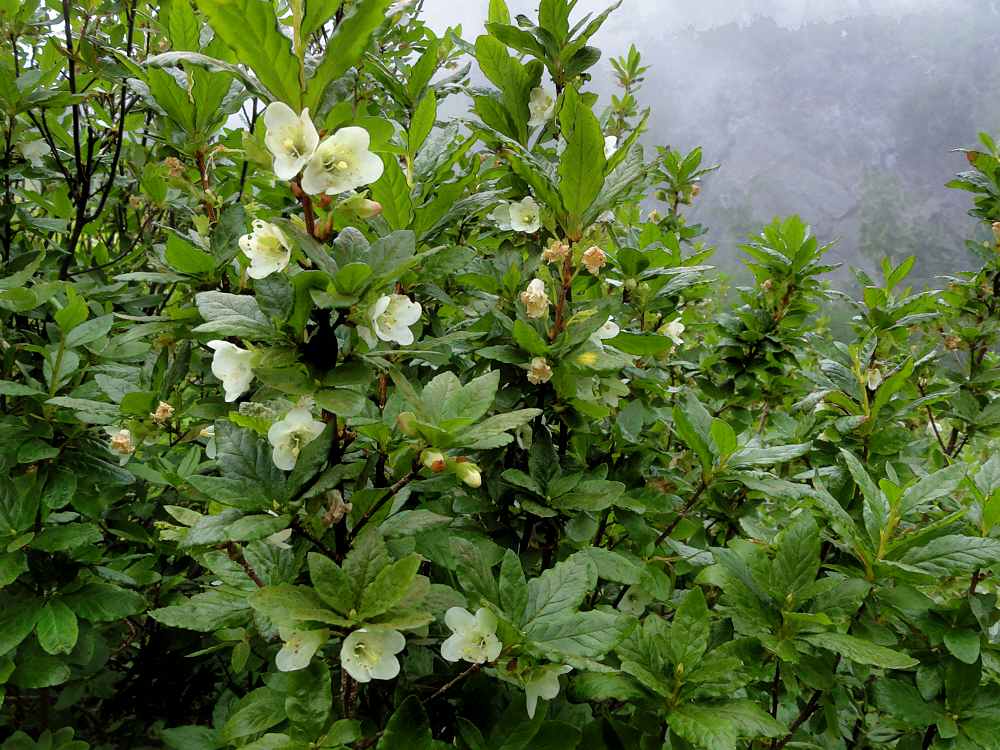
There is a really nice open forest a little east of Elk Pass/Road 25. The land is flat there, it's quiet, and sheltered but spacious. Good for hammocking though the trees are widely spaced. There is a little trickle of water somewhere in the mile (2 km) or so of trail east of the road, but it probably goes dry most summers. Anyway, it was nice.
By this time the trees were getting drippy too.
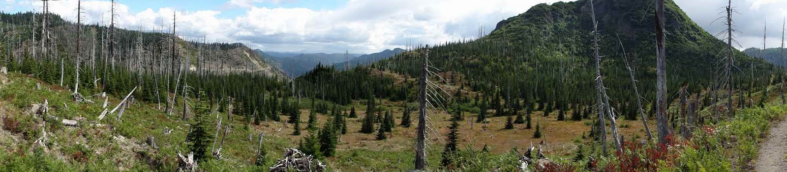
The last day was a bit warmer though still mostly cloudy, and quiet. The trail is a little chewed up, but it looks like most motorcyclists stay well to the east. Incidentally, on the day I saw all the motorcyclists, I was hiking along sections of trail that were even a little spooky to walk. You know, a rock wall on one side, rocky trail tread full of loose stones, and a relentless rocky slope below, plunging several hundred feet. I have no idea why they didn't all die riding through these places.
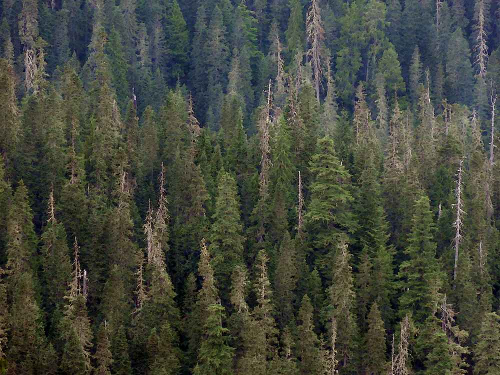
Somehow, the trees still look content. Quiet though.
Only one of the photos here even hints at that kind of terrain -- there were several sections where you had to concentrate on where you put your feet. Again, I have no idea how they rode motorcycles through those sections.
Meanwhile, on the trail, still cold and dim.
Anyway, the last day things were warmer but still not warm, getting almost sunny toward the end. I think this was a Monday, so it was quiet too, but you can see from the photo of St Helens how cheery the day was.
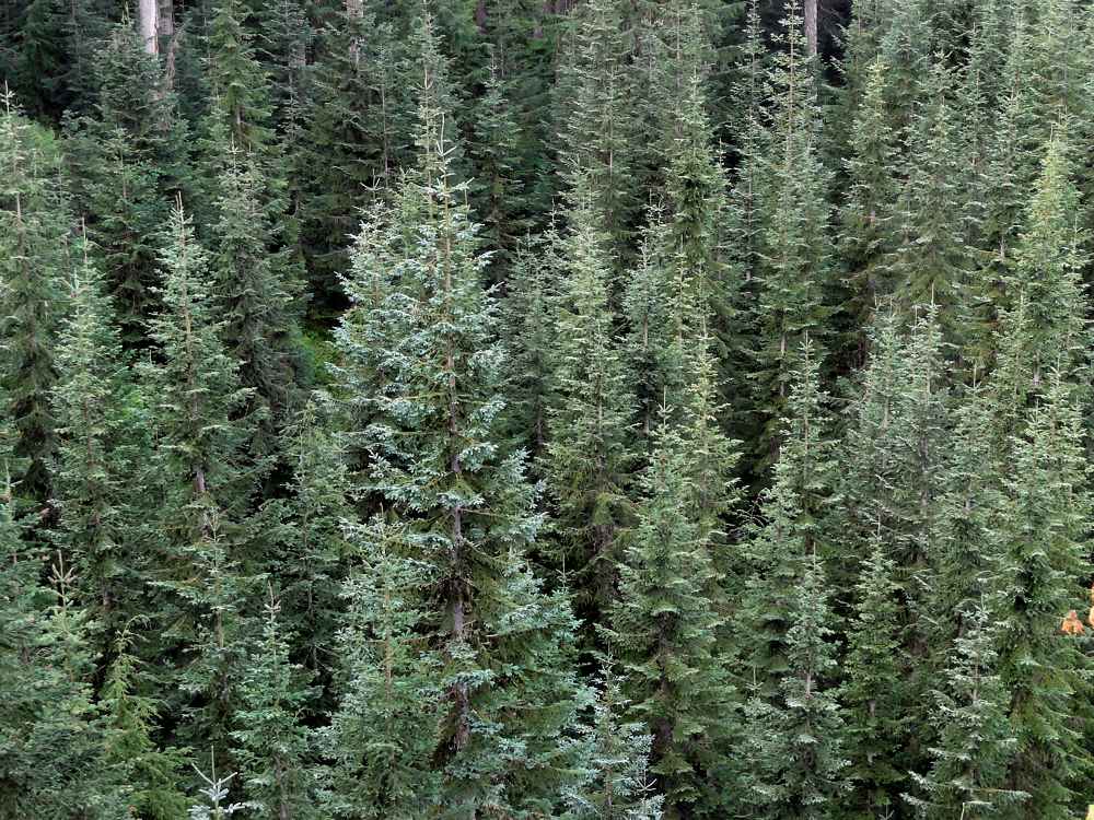
Back in the forest, hmmm? No change.
So then I went home, planning to come back and visit Jumbo Peak, and climb it, which I did, but had to wait out the entire month of September because it rained. And rained. And rained. I have a post on that elsewhere.
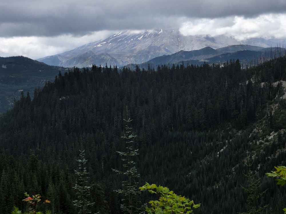
Just about out. St Helens not smiling today. Not in my direction.
Woot. Almost done, almost sunny too.

West 1/3 of trail.

Middle 1/3 of trail.
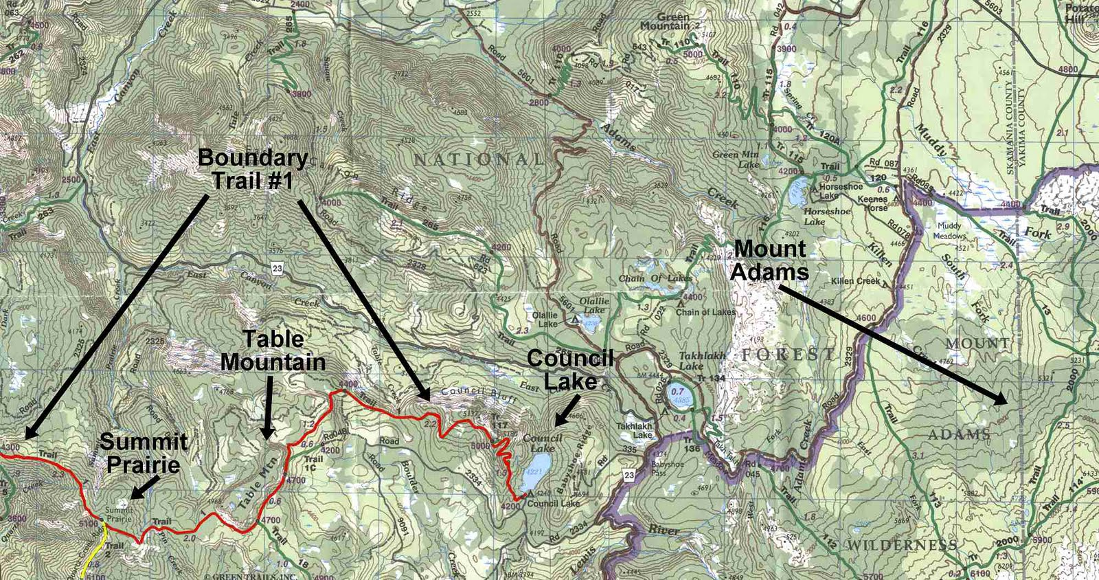
East 1/3 of trail.
More:
Washington's Dark Divide Roadless Area, by Susan Saul, Forest Magazine, July/August 2001
Exploring the Dark Divide, Southwest Washington's threatened gem (PDF)
Dark Divide Washington August 10, 2008 (video)
See tabs at the top for definitions and books.
Have extra info to add?
If the commenting system is out again, then email sosayseff@gmail.com
Me? Do you really care?