Entering rougher country.
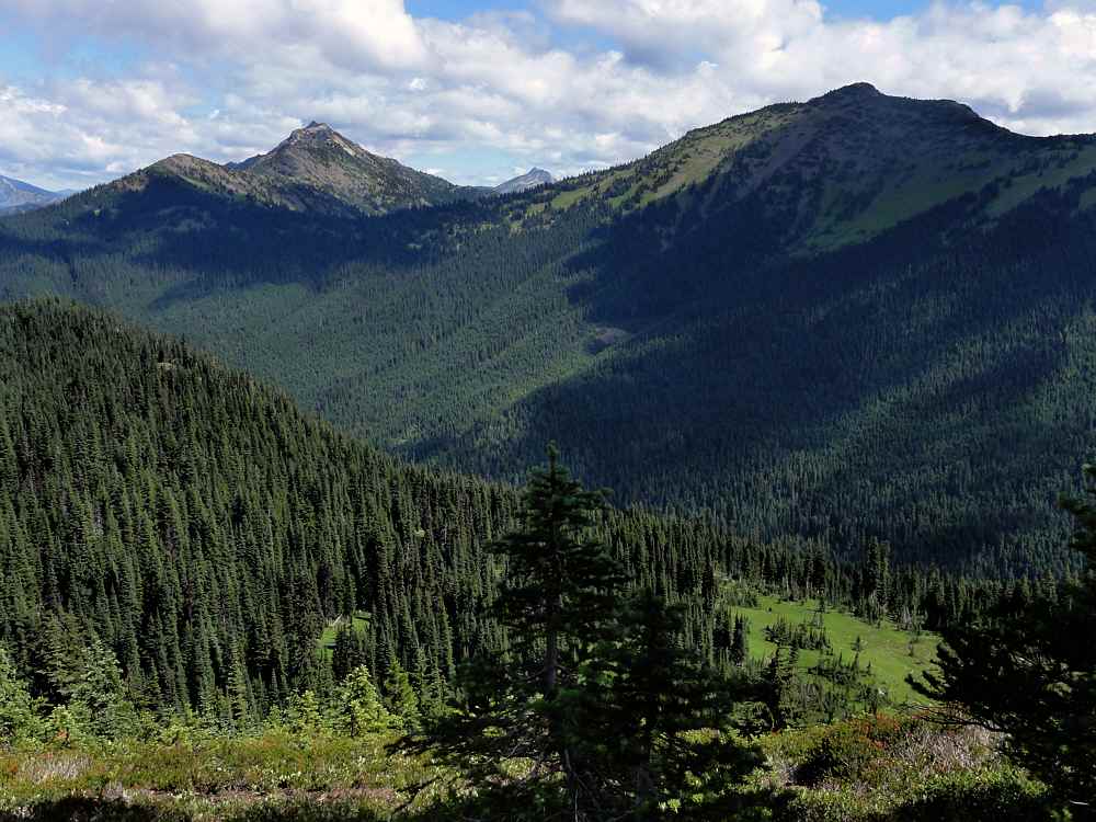
After crossing the gravelly dip, descending in the cold shade, and climbing out the other side, you can look northwest across the valley of Devil's Creek to a couple of unnamed peaks on the other side of this long, deep valley.
At its western end it dumps into Ross Lake, the long and narrow (and deep, and still) body of water backed up behind (appropriately enough) Ross Dam.
Out of sight to the left in this first photo is Devil's Dome at 6982 feet (2128 m). The right peak of the two shown is 6262 (1909 m).
Looking to the right (east), you can see the landscape along the top end of Devil's Creek, and the ridge above it, where the trail lies, under treeline.
Devil's Pass is in the low saddle at top left, just before another unnamed peak in the background. This one is 7203 feet (2195 m).
From Devil's Pass, the main trail angles off to the northeast, while the other trail goes left, west, to Ross Lake. I haven't been on that trail. Maybe later this year.
But before all that you have to descend, radically, and then climb again, radically, before reaching level trail again.
The trail drops from about 6200 feet to 4400, and then back to 6200 in the space of about a mile (1890 m to 1341 m to 1890 m in 1.6 km).
In 2004, my first time, the downhill part of this was heavily overgrown. I kept clacking my trekking poles together to alert any big critters of my presence.
It can feel sketchy being out alone, in thickets of annuals as high as your head, and knowing that occasional grizzly bears pass through.
A few days later, on that first trip, I unexpectedly came across a huge brown bear that ran up the mountain as soon as I alerted it, and I thought for years that it was a grizzly, but a closer look at the photos showed that it was really a black bear.
But you don't want to be rude, so you try to let everyone know you're coming.
This is a good spot for lunch. At the bottom. There is a small creek there (Devil's Creek!), and enough flat spots to make it reasonable.
Then you climb out the other side.
The views are great, both descending and climbing out again, but by the third time you wish there was another route to take.
In 2004, earlier in the season, I didn't see anyone else for two and a half days. There was only one set of footprints on the trail, but I didn't see those except occasionally.
This year was pretty quiet too, but obviously someone had a birthday, and someone else knew.
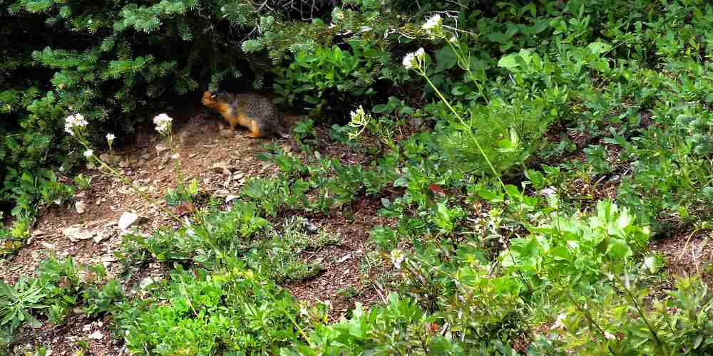
And if you travel quietly enough, and act respectful, you see critters here and there.
Whatever it is, if it has eyes it has probably seen you before you see it.
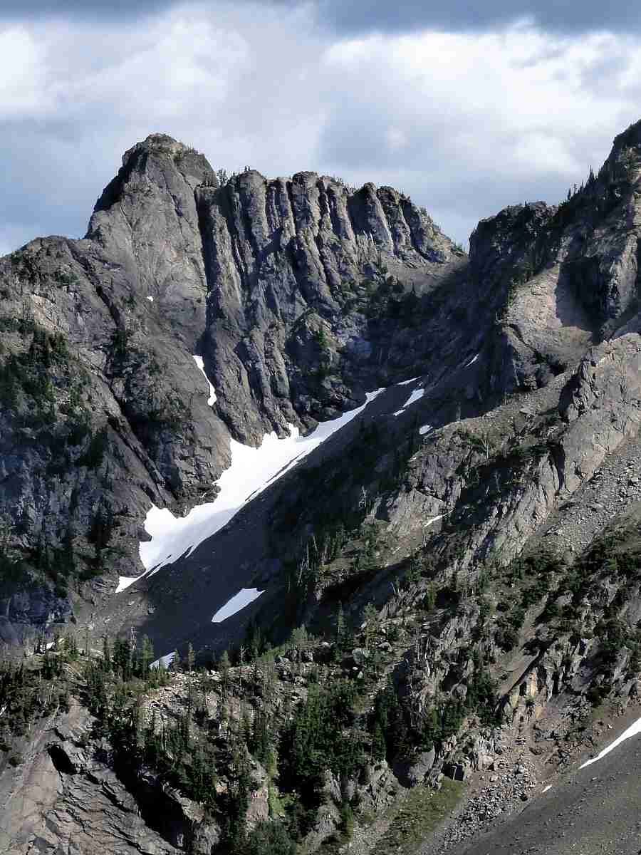
Looking back you get a better idea of the real geography you've just skirted. The snowy peak is also nameless on my map, though there is a number with it. It's 7350 feet (2240 m).
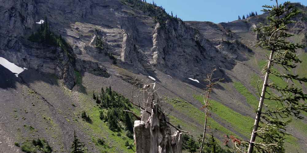
The cliff between the camera and that peak is above the trail where it dips through the narrow basin where Devil's Creek begins.
And if your camera has enough reach, you can see what the rock is really like.
A little farther on, going north, the trail is out in the open for a while, which makes you easy to be see.
But then it's also easy to greet anyone who lives here as you walk by.
Which is a pleasant way to pass a few minutes.
Farther on, you eventually reach the saddle that defines Devil's Pass.
Looking east toward Deception Pass and Sky Pilot Pass you see a few ponds that contribute to the North Fork of Canyon Creek. The trail lies along the left (north) side of this valley.
It looks pleasant, though on the trail you see only trees.
But before heading out that way you can turn to your right, look at the south side of this valley, and catch some bare rock watching over it all.
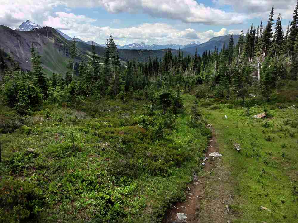
This last shot is from Devil's Pass itself, to the east and southeast, giving you an idea of the surrounding landscape, though it is more rugged while you're walking it than it seems from above.
More.
Days 1, 2, and 3 of this trip.
Also: SamH at Devil's Park.
See tabs at the top for definitions and books.
Have extra info to add?
If the commenting system is out again, then email sosayseff@gmail.com
Me? Me. I wonder about that at times.

