The geezers re-emerge.

One nice thing about a day hike is that you don't need to perform. You go, you look, you relax, and then you're home again. Same deal hiking with people who have already earned their scars. They have nothing to prove. They're relaxed. They get it. They know lots.
Take Paul, for example — a retired forest ranger. His last post was way north, in Washington State's Pasayten Wilderness. He has decades of knowledge to draw on, and shares it. When he speaks, you do well to listen first and move your mouth later, if at all.
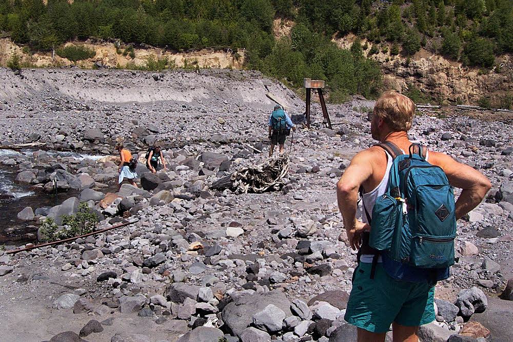
So we had a good tramp down the valley, noodled around in the flats, had lunch I guess, talked, checked the maps, looked for this feature and that, and before anyone got tired or owly or anything else, we decided to turn around and go back. Done.
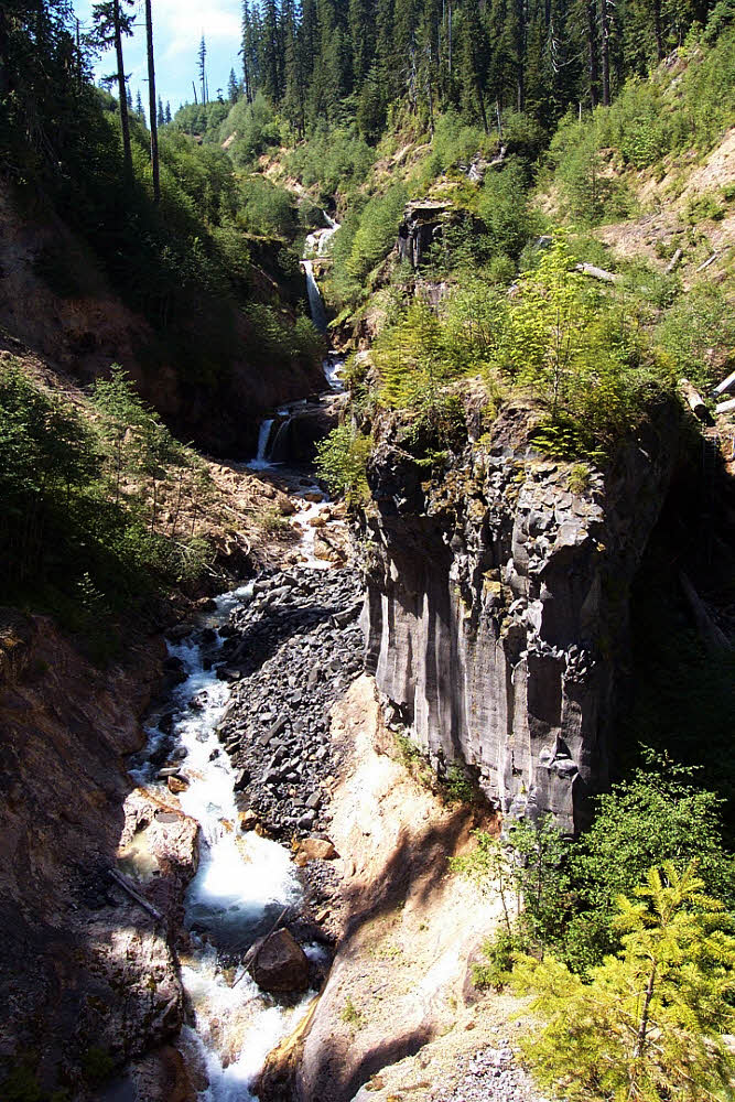
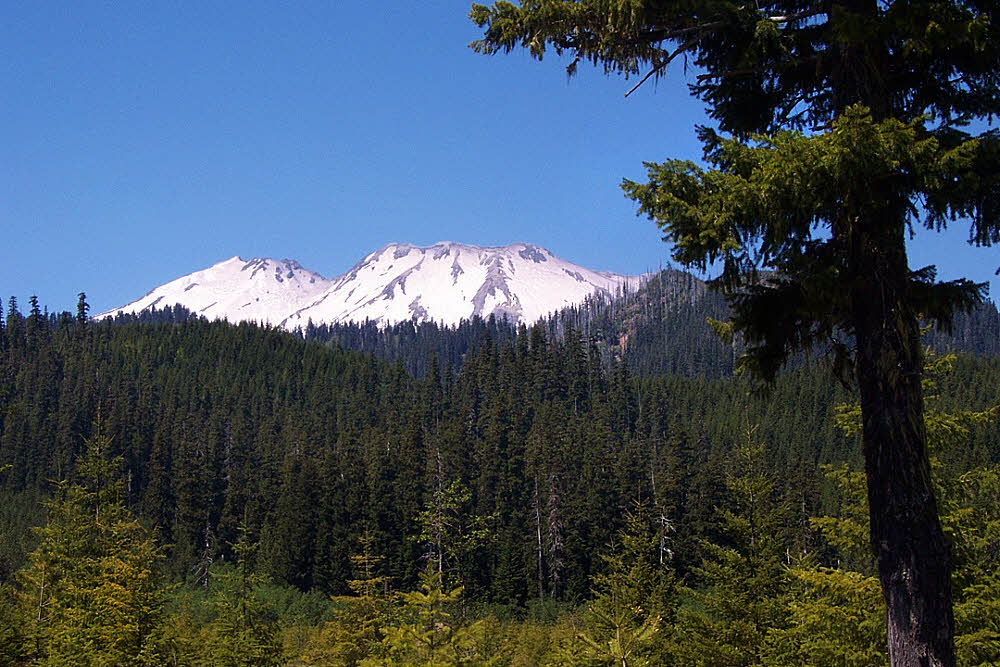
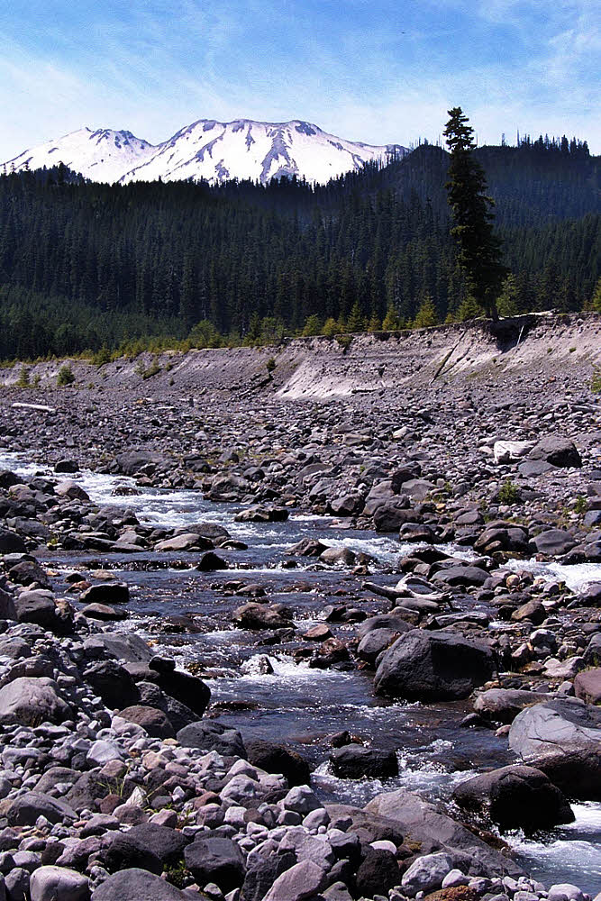
Once again, from the bottom of the valley, it's possible on most days to get a really good look at the top of Mt St Helens, and that deadly notch where the lahar cut loose. Without it, there would still be a Lava Canyon, but it would still be quietly ruminating, unseen, a good hundred feet (30 m) below grade and not open to the sky.
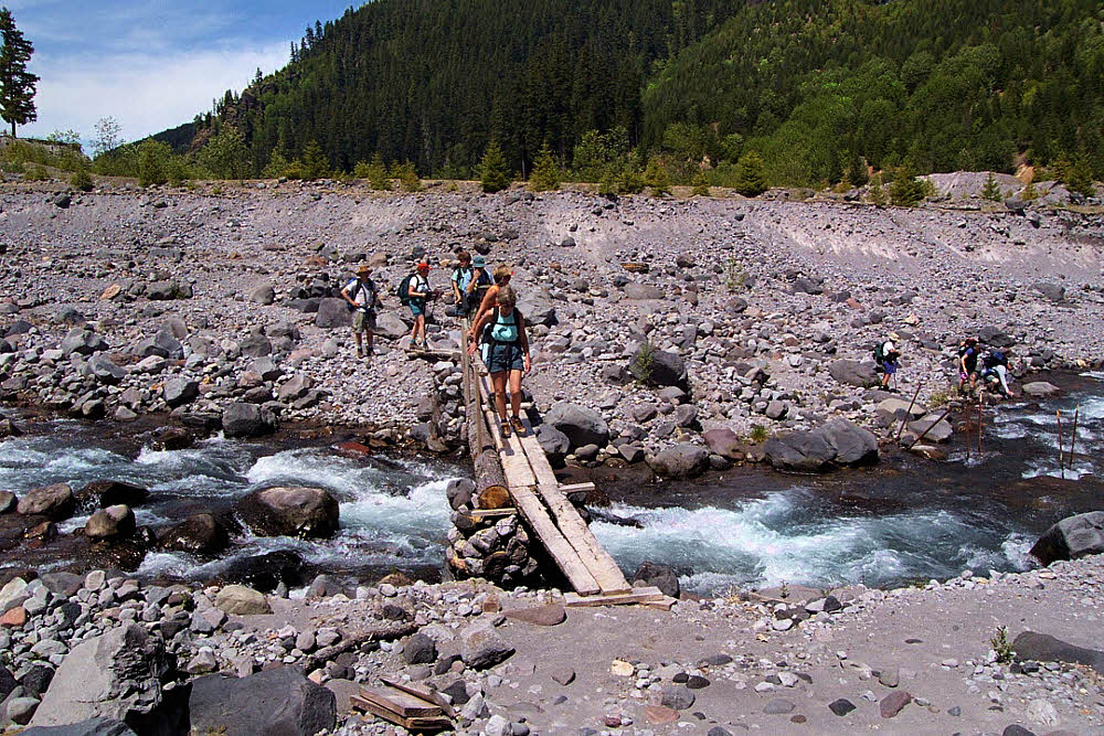
Once back on the east side of Muddy River we took a final look at the bridge piers. You can get some sense of scale. The steel legs are around 15 feet (5 m) high, and the bridge itself was roughly 100 feet (30 m) long, but a winter's flood simply washed away the east and west banks and left the bridge unharmed but isolated, which is why it was moved elsewhere.
It's events like that which show the real power of water. Other clues are the number of people who have died there, at the top of the canyon. One or two a year. People don't realize how a simple misstep can change everything. The last case I heard of was a family of three. The parents let their young child wade in Muddy River way up top where it collects itself as it hits the topmost rocky funnel. First the water is rapid but pleasantly fresh and clean, and shallow. If a child, however, slips and falls, it is instantly carried into the rocky sluice, whipped left, whipped right, and then shot over the canyon's first waterfall.

That's what happened. Water foams and churns in the smooth channel, slipping and sliding, ripping the body along, offering no hand-holds to even a strong adult, and within three or four seconds it is a case of death on the rocks, as it was for this child. But hearing this, seeing this, the father jumped in after his son. He too died. Two bodies smacked and smashed on the unforgiving rocks within a few brief eyeblinks one sunny, warm, lovely afternoon.
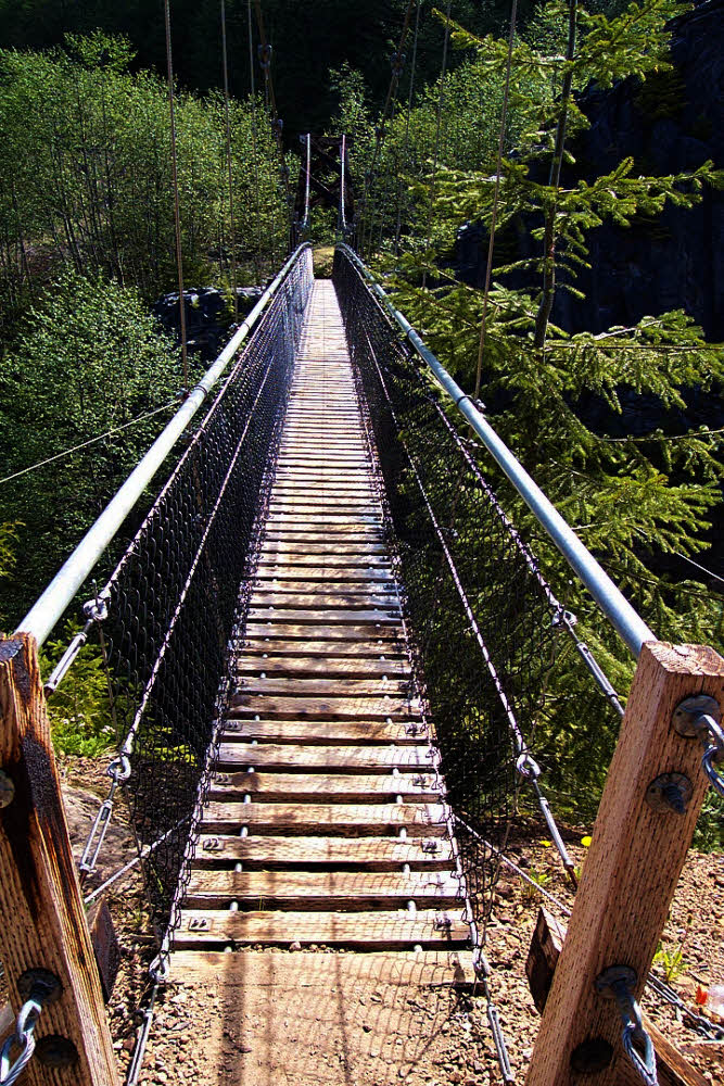
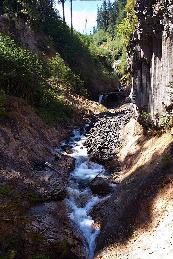
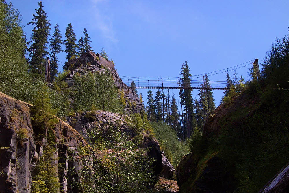
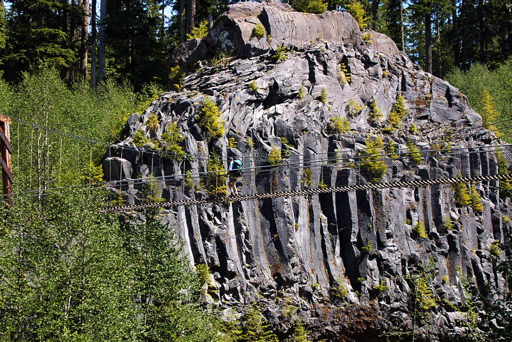
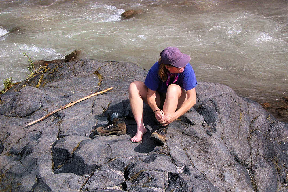
And it could have been any of us that day, the day of our hike. But it wasn't. For us it was another sunny, warm, lovely afternoon, without death. We hiked in shade up the canyon's trail, through bright green alder, eyed the suspension bridge from below, a view which shows just how high it is, came to the bridge, crossed it, and moved into the second flat area of Lava Canyon, its top, where we had started.
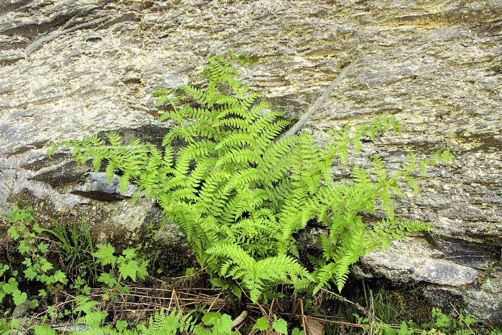
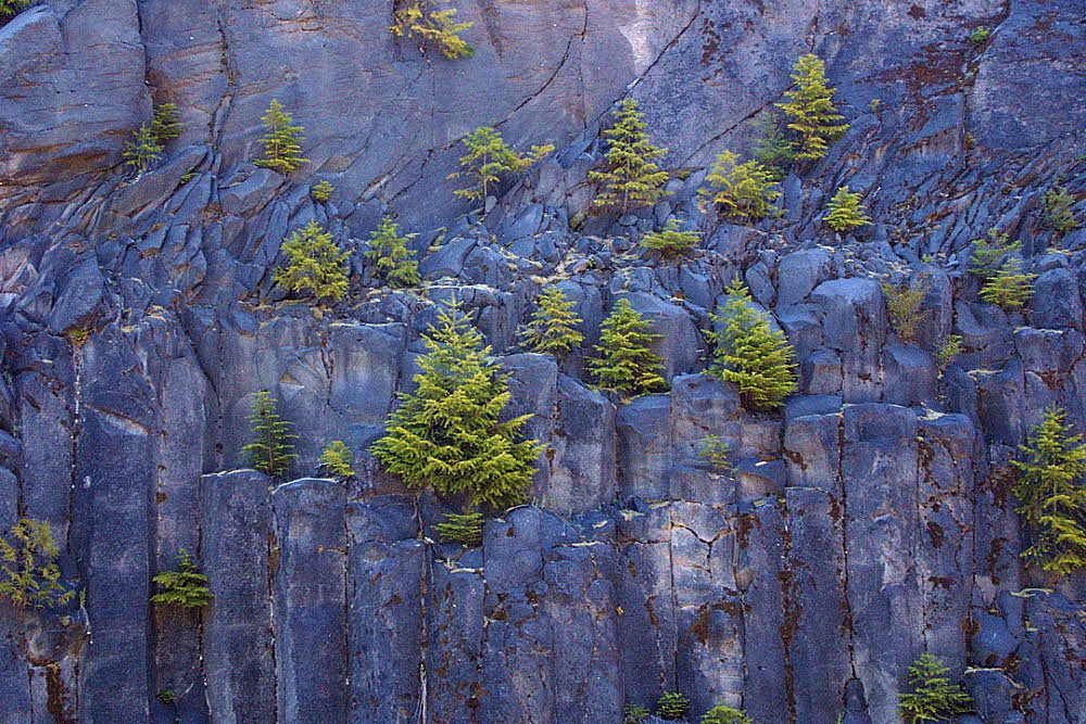
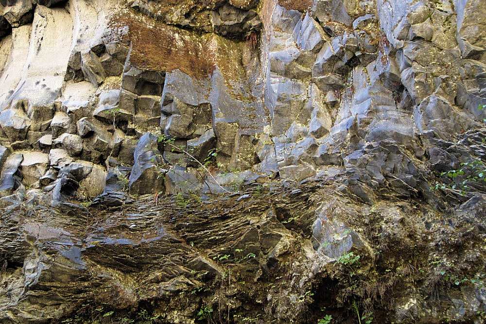
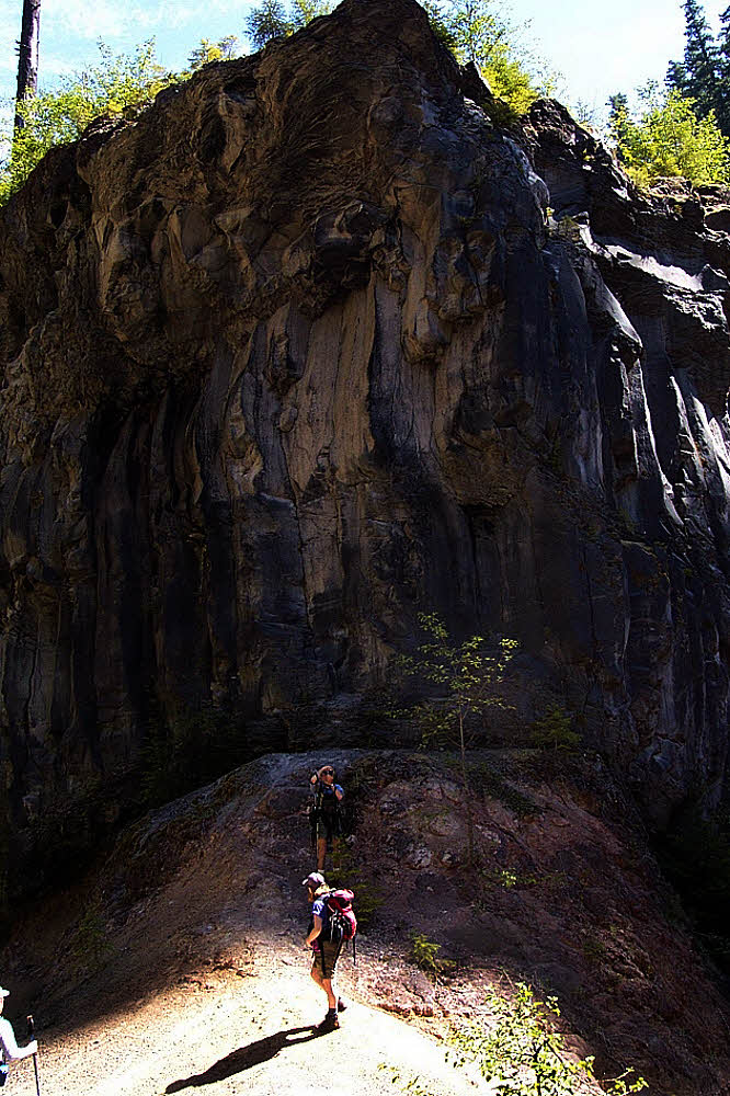
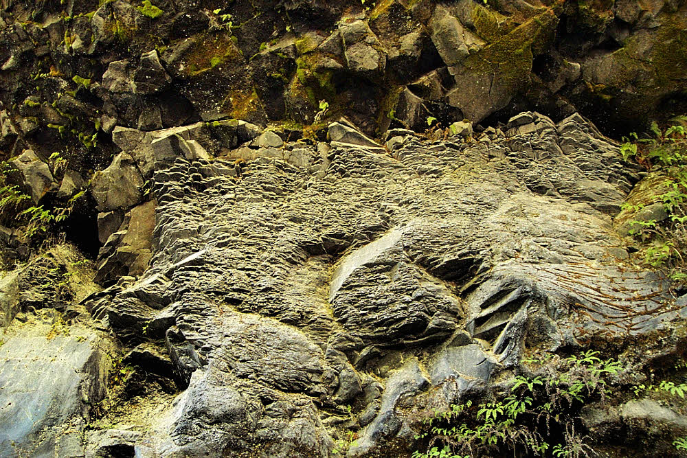
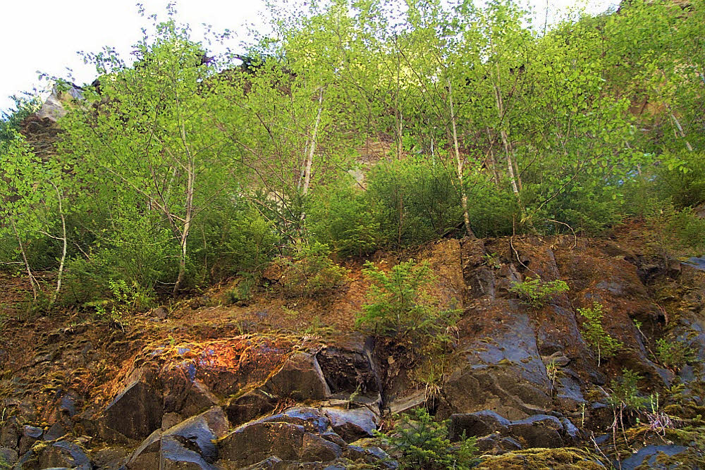
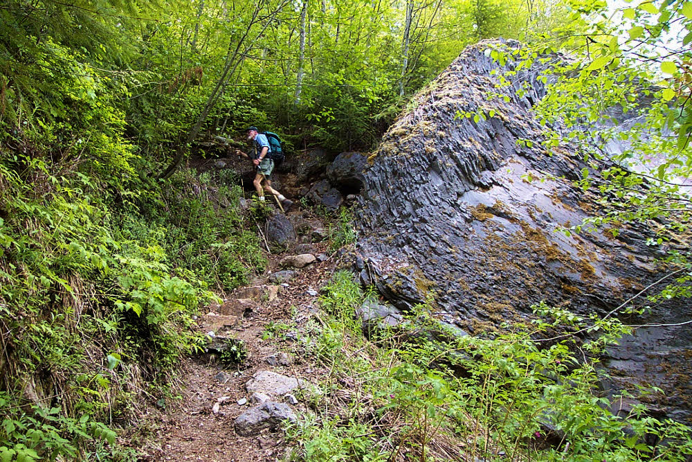
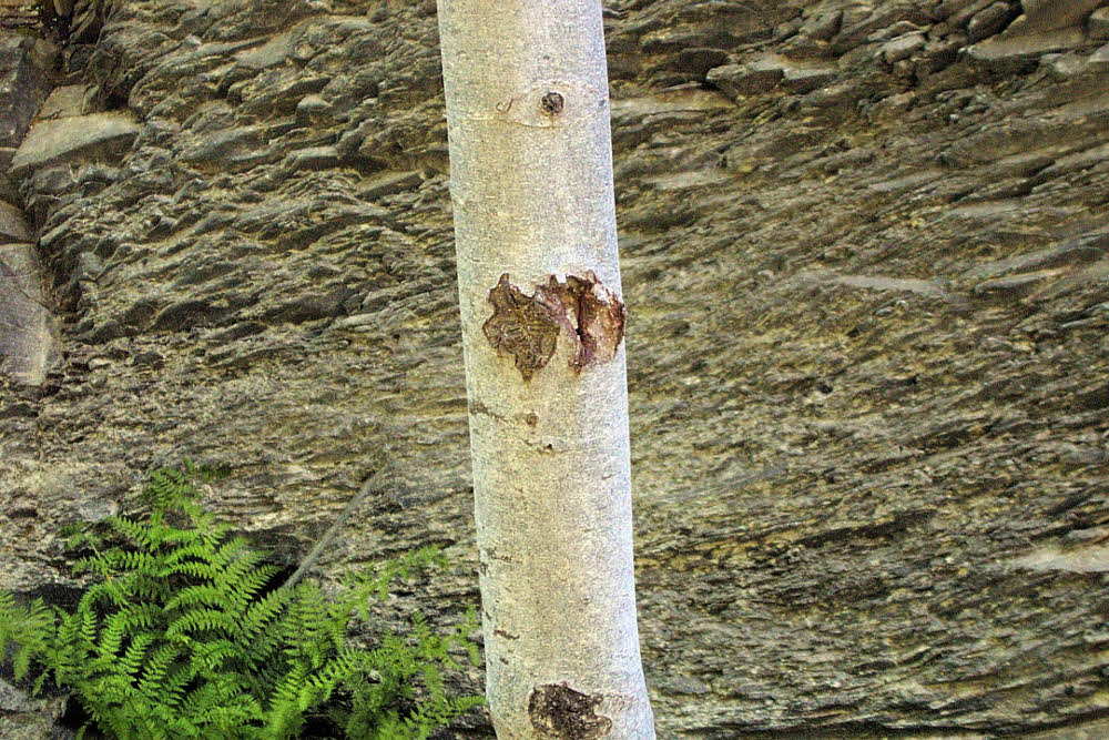
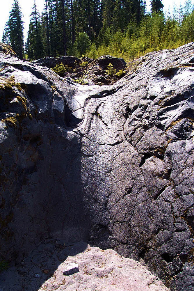
There is a lot of geology there that I didn't capture that day. Most of my photographs are long gone, discarded when I moved away to another continent, and could not carry boxes full of color transparencies. But the geology is there. The first post shows trees growing on the side of a basalt fin. There are several of those there, and shady lanes along their sides, places where sunlight seldom directly falls. Places rich with soft vascular plants, and softer mosses. With an occasional dry rocky chute, waiting for its chance to join in the fun.
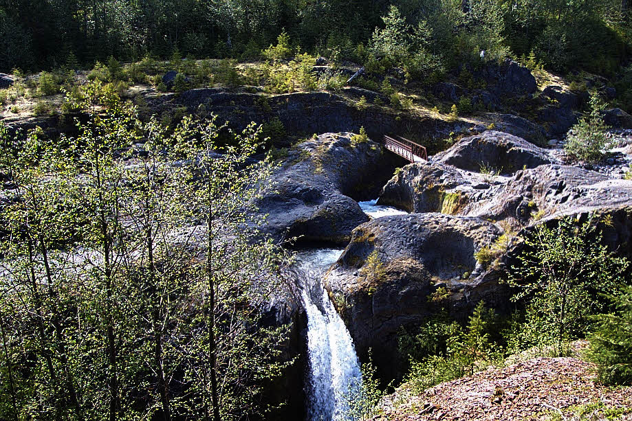
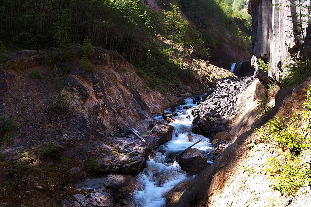
And about that second flat — once again, if you pay attention and don't tempt fate, you'll find that it's full of places to sit and freshen up, to look into, to explore. See the bridge in the background? The last time I was at this place, around 2005, there was only a bit of twisted metal left, it's far end, I think. The rest of the bridge had been hit by flood. I'm guessing it was a flood carrying logs that rammed the bridge and tore it to bits, leaving only its anchors buried in the rock, now useless.
And that pool there, on this side of the bridge? In the lower right of the photograph? That's where the five-year-old boy was playing before he slipped and went horizontal. Right below that pool the current's speed doubles or triples, at least, and the water flows into a rounded chute. By the time it reaches the bridge (or where the bridge was), the water is several feet deep — at least three or four (around one meter). And immediately makes a sharp left turn, but by then it doesn't matter. Nothing matters by then. The story's end is too close to comprehend. Would happen almost too fast to see.

But on a nice day, it is a nice place. There are other channels, unused at the moment, ripe for a little pleasant exploring, a little padding-around on, with their sandy bottoms. Capable of inspiring more than a little wonder.

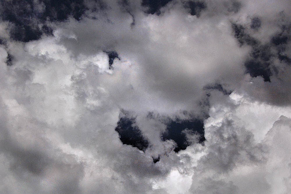
And overhead, the sky, which understands everything, which has to understand everything because it has to see it.
So all in all, it's a place. It is what you make of it. But being human, and being impressionable, you would enjoy it. I think you would. If you come quietly and pay attention to what it is and what it is saying. Which is that this is a place that has seen great violence, but is also a place of great beauty. If you wish to see it.
The first post in this series was published on 14 May 2014.