Showing posts with label Elwha. Show all posts

Wednesday, April 17, 2019

Hurricane's Backside

Looking away off west.


So, much effort for little result, i.e., this blog post.

I'm faking it while cleaning out old photo files, and being a little mouse of a blogger way off to the side of what is currently the internet, well shucks then. What more do you need? It's a gesture, isn't it? A gesture to show you that I still love you, even if we'd get along for no more than four seconds in real life, you and I. But since I live in the abstract, gestures count.


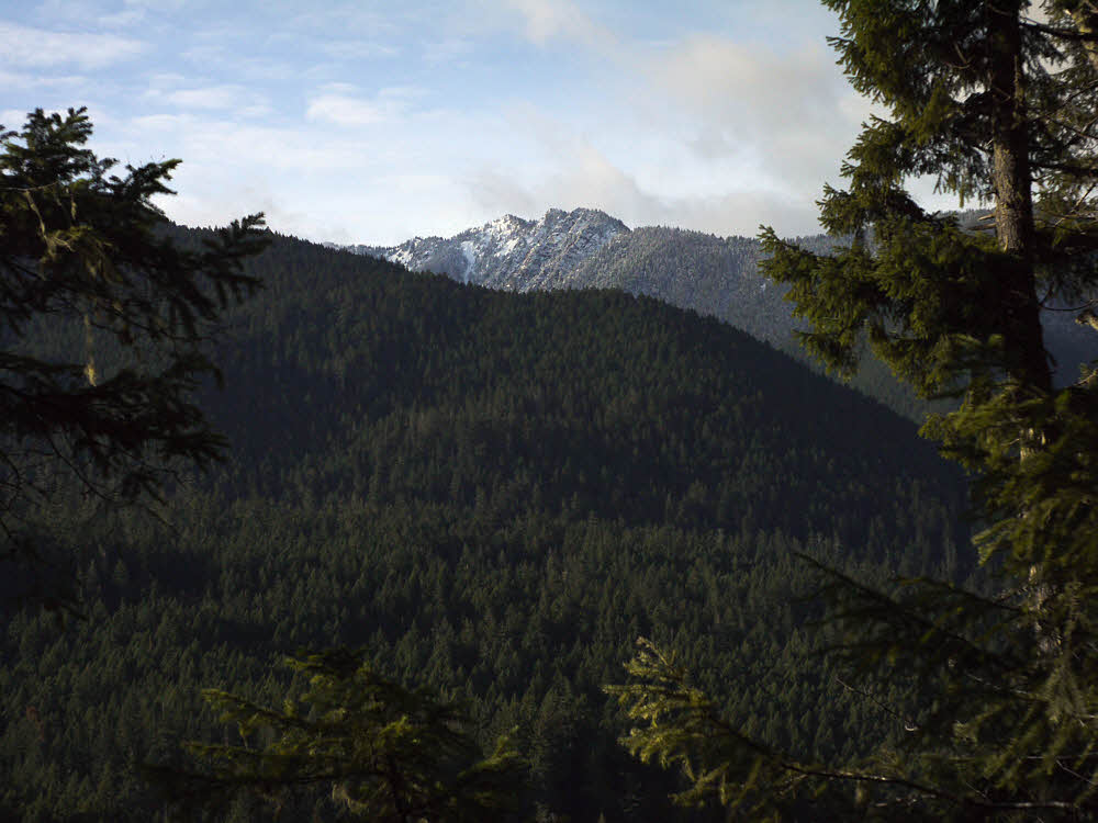
To the southwest, toward the heart of Olympic National Park.


Living in paradise as I'm doing at the moment, wouldn't we expect that there is ever so much going on, to do, to share, to experience? Yep, I think so. But since reality don't give a snit what I think, no. It's dead here. Things were better six years ago when I first got to Cuenca. (That's in Ecuador.) More squirrelly, less predictable, odder.


I've never understood this place. That seems right, the way you never understand home.


Since I can't seem to keep away, I was back in the U.S. from the start of March, 2018 until the end of July. Had big ideas. Uck fupt big time. Bailed. Figured I'd make up for it here in Ecuador. I've been back over eight months, watching, checking every day, looking, and still have not found a single person wanting to go out hiking. At least there used to be a few people. Maybe they saw me coming.


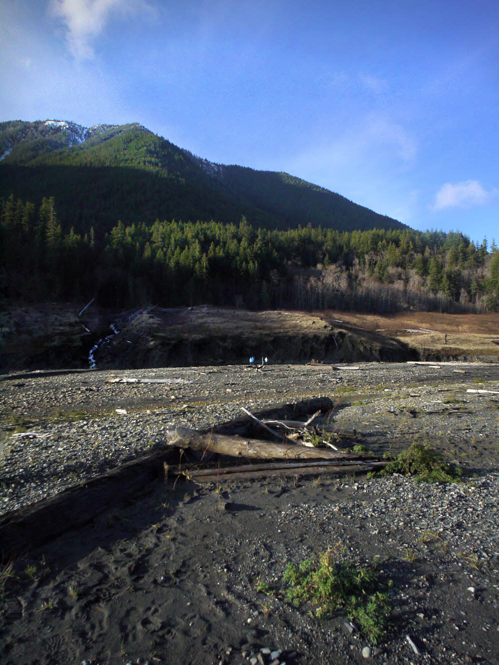
Hikers. One man, two girls. They came in peace and left with no trace.


This place is getting settled.

It's a lot more "civilized" than it was in November, 2012, when I first stepped off the shuttle van from Guayaquil, looked around and thought "grubby". My first impression. Grubby. Not quite so much any more.


This grassy swathe appears blank or even snowy on the Google Earth images below. Anything but. Lovely, don't you think?


Six years on, there is still construction going on everywhere. New buildings. Remodeled old buildings. More traffic lights. Better internet. Retired gringos getting over their wonder and settling into brain-dead old age. Less experimentation, more suburbanization, if we can call it that. (Smells like it.) No hiking groups. At all.


From above and to the right of the rocky outcrop in the previous two images.


Anyway, I myself am not dead yet, but any day now I could wake up dead, so maybe I'll be back in the U.S. for one very last ultimate try at being a gnarly backpacker and traveling around and stuff. Possibly. Am I just old and stupid? Also possibly.


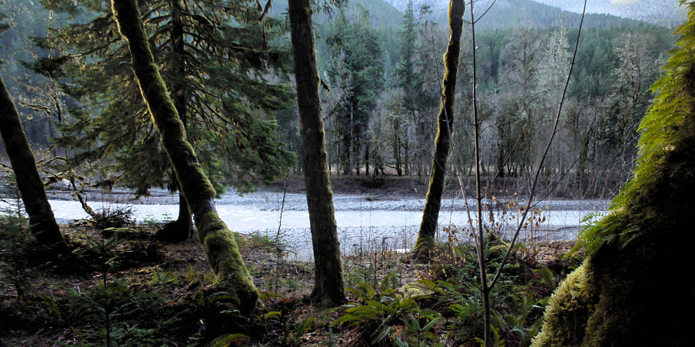
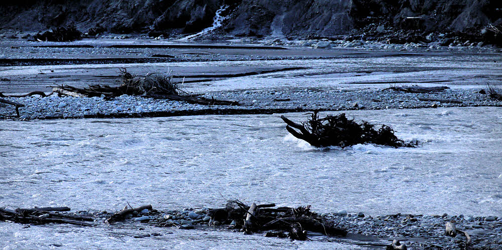
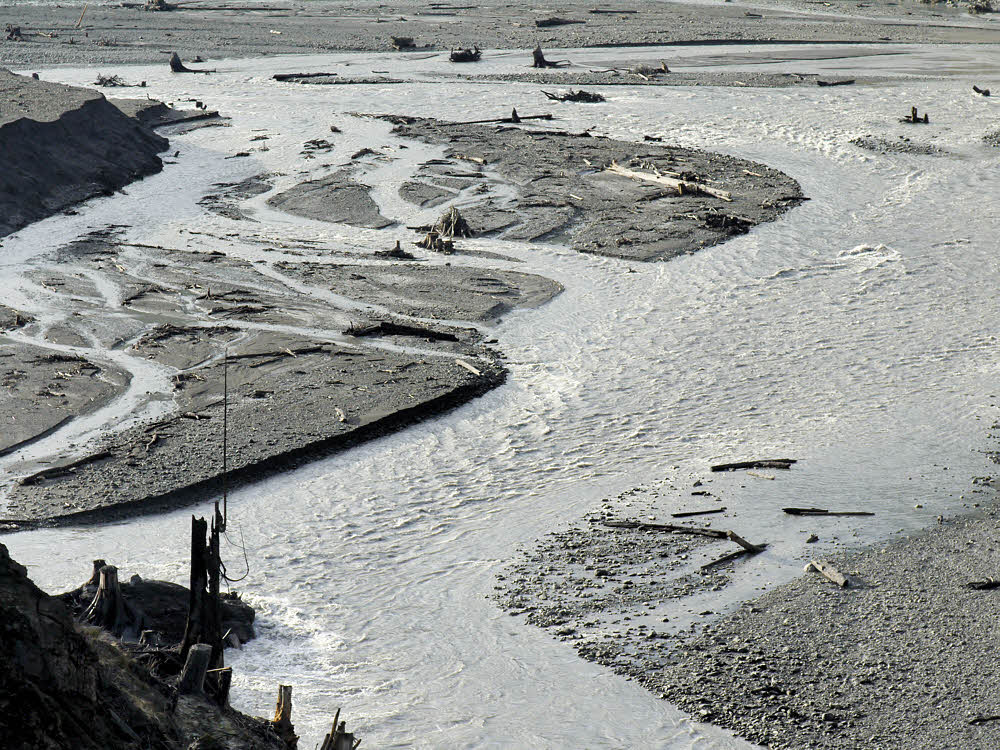
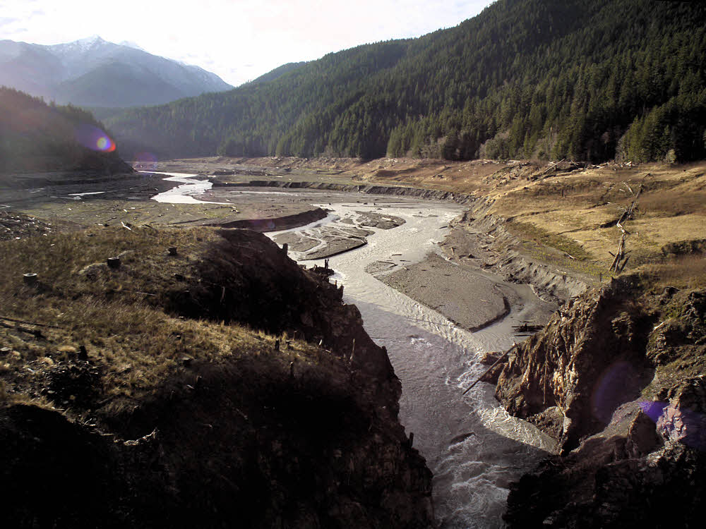
The now free-flowing Elwha.


Last year definitely did not work out, though 2014/2015 was not all that bad, when I was living in Port Angeles, WA, right underneath Olympic National Park, and going there quite a bit, and this is where today's photos came from. (July, 2014.)


And they, far ahead, prepare to vanish into forest.


Drive up to the Hurricane Ridge Visitor Center, go right for a mile or two, and you get to the Hurricane Hill parking lot and trailhead. Everything in the U.S. has a parking lot, doesn't it? That's how you can tell you're there. If not, then it isn't real.


Another view off west.


Anyway, hike up and look over the top to the Strait of Juan de Fuca or hike farther west, or do both. Go far enough and first you're on the backside of Hurricane Hill and later on, if you keep going, you're about a mile (1600 m) lower, and just about able to spit into the Elwha River, if that's your specialty. Don't go that far and you don't have to sweat so much, and can sort of noodle around and feel on top of the world because you are. If that isn't enough, and you get bored, you can whistle back at the marmots or take a nap on the grass. Nice.


Southwest. Summer here always seems like forever.


So here's what I've got out of it. The photos look a little impressionistic because that's what happens when you take a tiny little camera and point it at infinity and then try to make sense of it. But you get the idea. Forgive me.


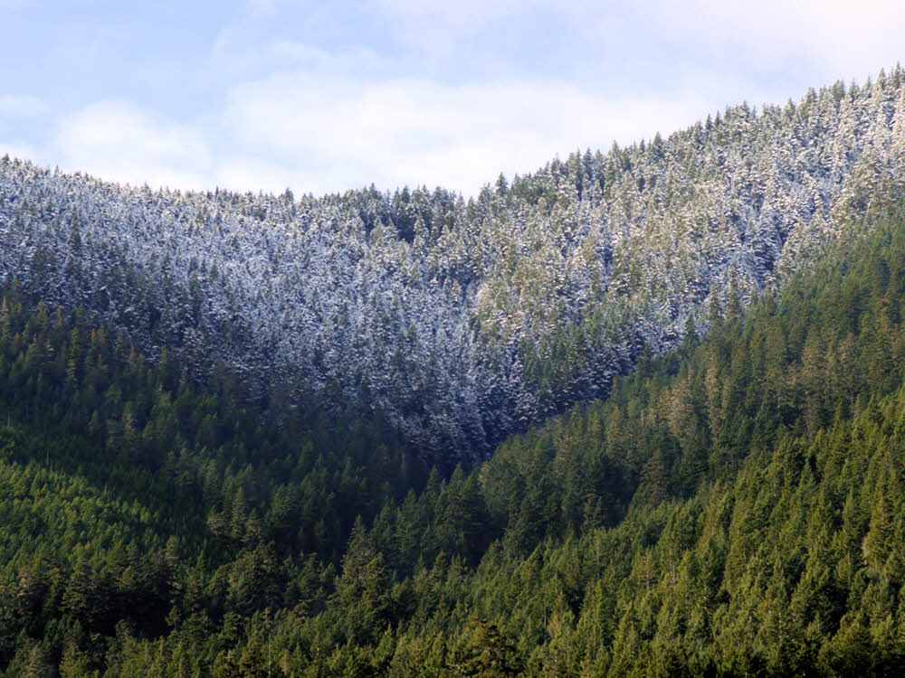
Toward Olympus. I think. Sky and peaks and snow and sky.
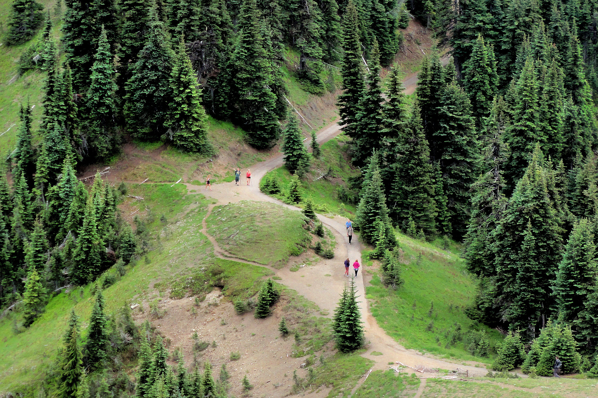
 

The start and the end. Start there and hike this way. Lots of "up". And then hike down again when it's all over. And then go home remembering that it's about more than just you.


Area map. Hurricane Hill in relation to Hurricane Ridge. Port Angeles is just off the map toward the top.


From Google Earth. Looking approximately ENE. The sort of "snowy" area is actually mostly grass.


From Google Earth. Looking roughly north. The long left-right light area near the top is Hurricane Hill. To the lower left is the former Lake Mills.


From Google Earth. Straight down, showing the trail from way up high down to the Elwha River


From Google Earth. Looking roughly west. Where you see "Windy Arm" is the former Lake Mills, now the restored Elwha river. Foreground is Hurricane Hill.


Elwha River Restoration

Restoration of the Elwha River


Remember, flies are nature's way of saying that you're still yummy.
Have something to add? Send email to sosayseff@nullabigmail.com
See if that helps.
As always, Effort or Eff it. No sniveling.
Wednesday, January 14, 2015

Dam-B-Still-Gone

Getting down to the dirt.

Hills over rain forest way. I didn't go there.

After stomping around on top of the dam I drove south to Whiskey Bend, and hiked on from there.

Along the trail south.

The trail was nice, but the day was cold, though sunny enough.

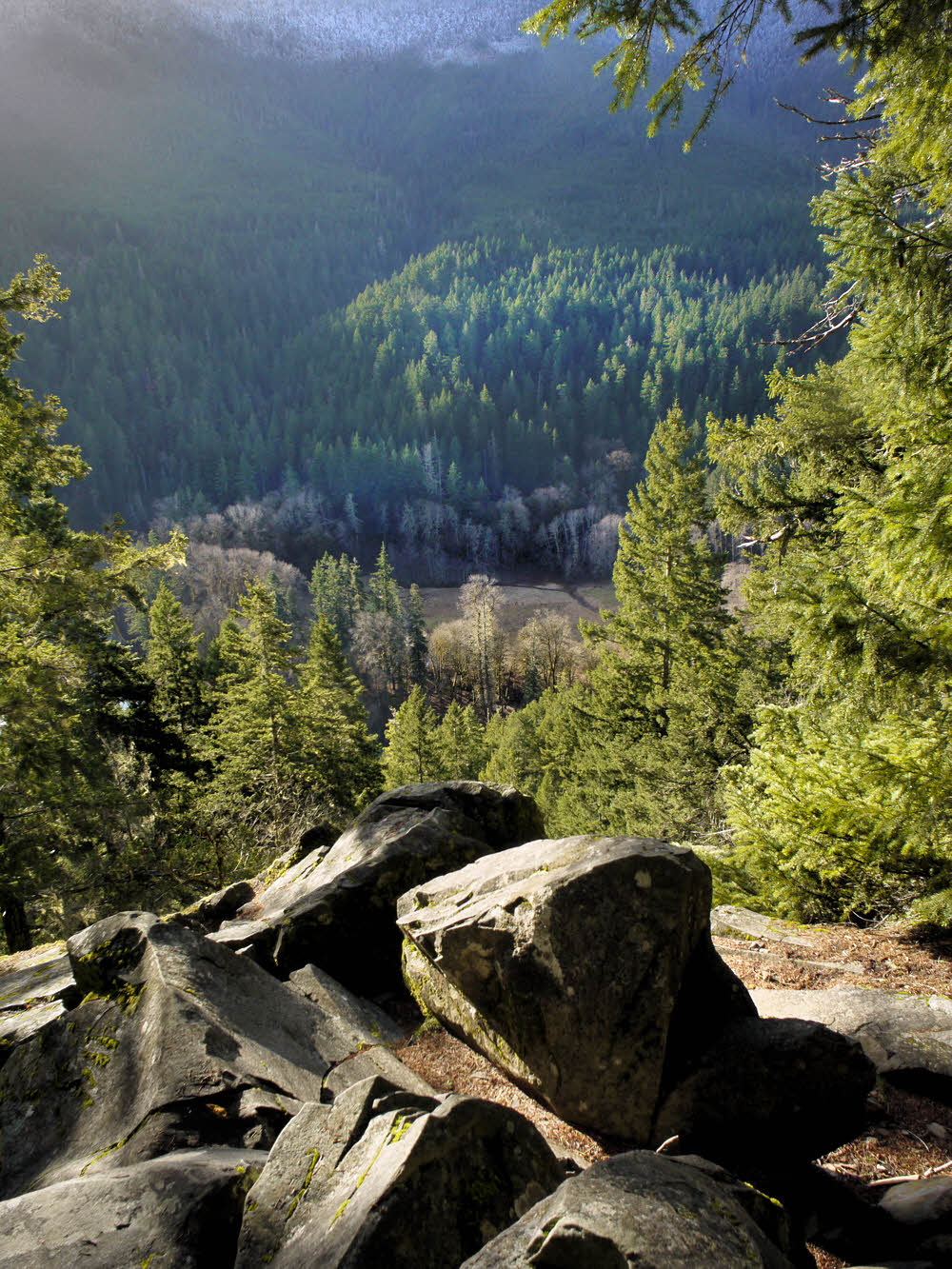
Past Whiskey Bend, at the so-called overlook.

At the overlook, I looked over. Nice place but there really isn't much to see.

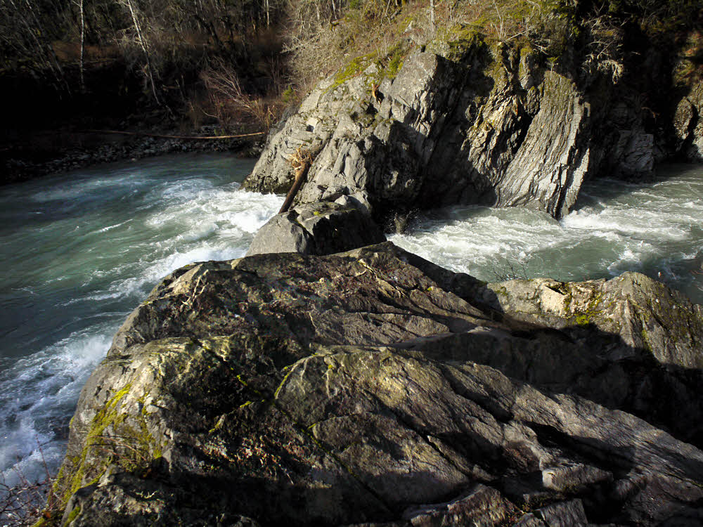
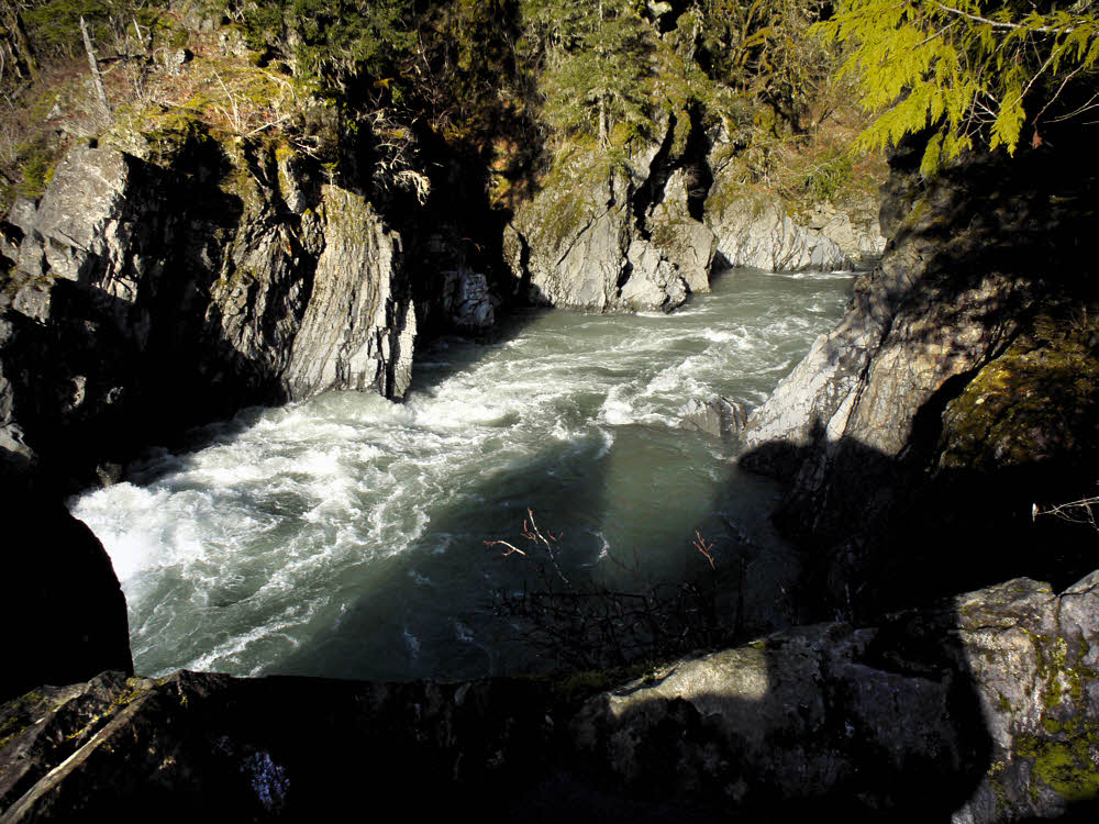
Goblin's Gate, where the Elwha takes a turn to the right.

Then, at Goblin's Gate, we see some drama. Here's where the river makes a tight right turn through a pair of stone teeth.

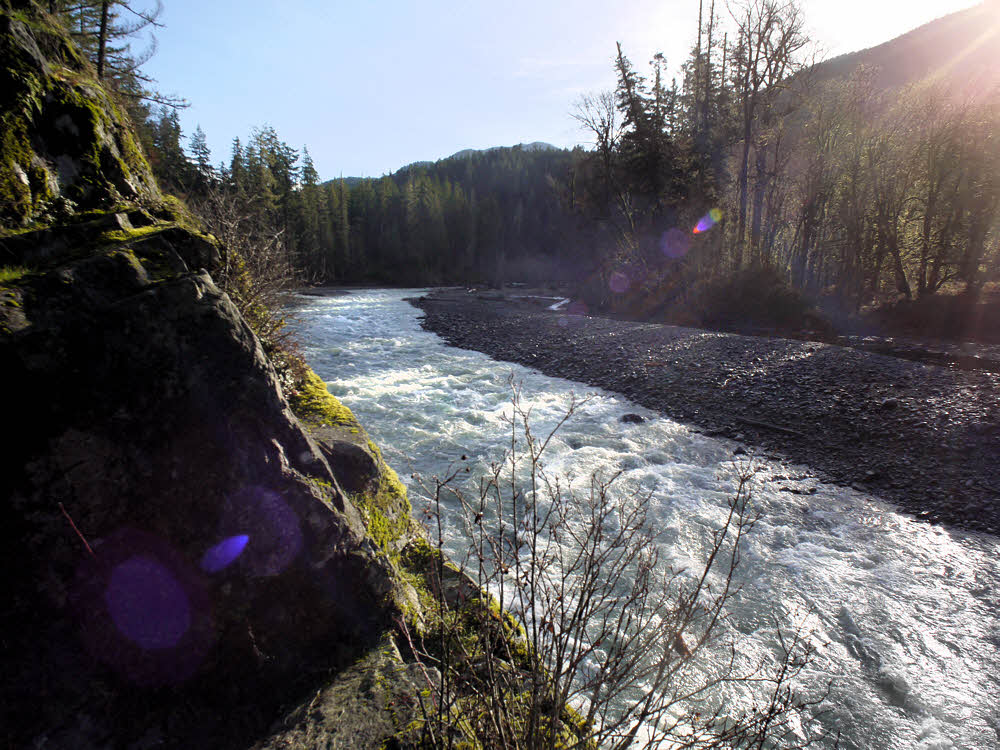
Going full bore.

A peek upstream shows how full the river really was — lots of rain in the preceding days, all headed toward the ocean.

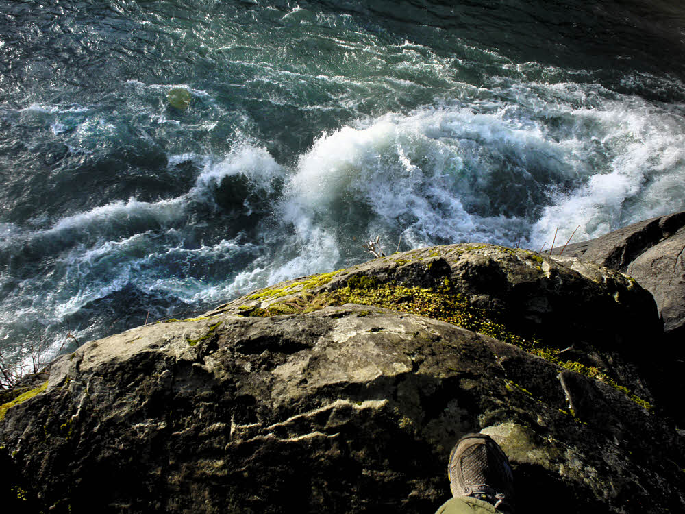
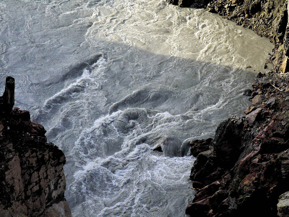
River thrashing the rocks.

Just a few feet under the overlook the river was doing its best to drag the rest of the world down into its drama. But the rocks are solid.

Just past the Gate.

Just past Goblin's Gate the river settles down a bit. I've always been tempted not to jump in. I think I'll stay that way.

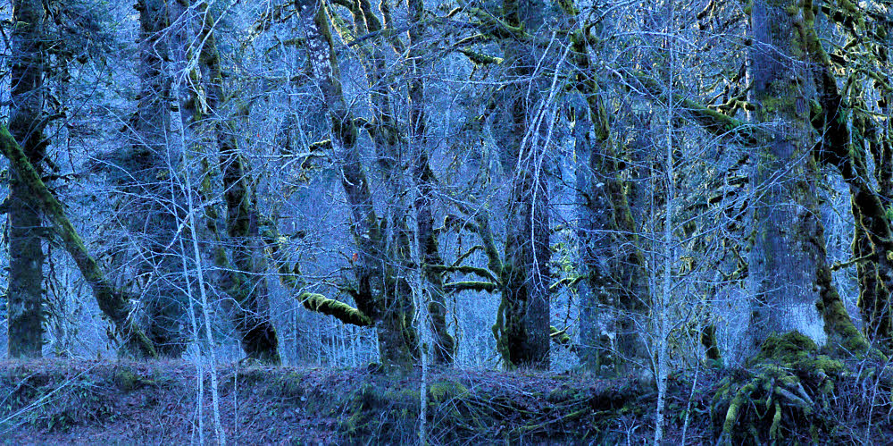
The far shore.

And then, while shooting the far bank, I finally realized that I'd accidentally reset the camera's while balance to tungsten, or indoor lighting. But the effect is kind of fun anyway.
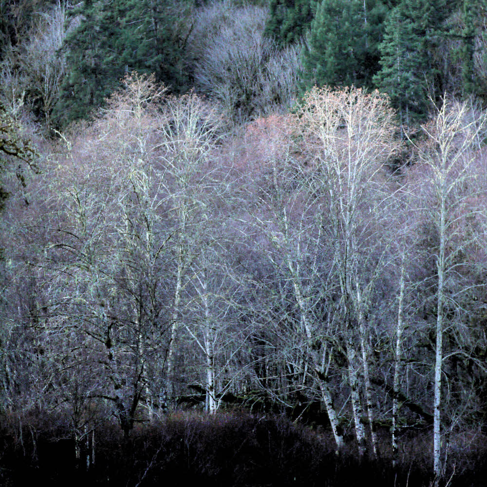
Winter alders.

Meanwhile, downstream, the leafless alders were waiting for spring. They still are, but they look nice.
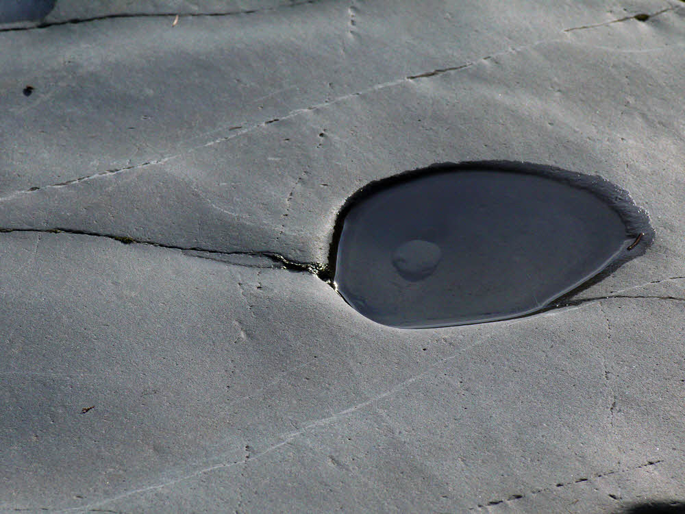
Rock pocket with resident grinder.

A large boulder with a top pocket, with evidence of how the pocket got there.

Beach rocks.

Everyone takes a photo of beach cobbles. Me too. Why break a tradition?

Shore to shore.

Some things are hard to photograph. Forests. Rivers. Forests and rivers in winter. It was nicer in person. True!

Forest floor.

The forest floor is fully clothed. Leaves and moss and leaves and twigs and moss and stuff.

Trailside slope.

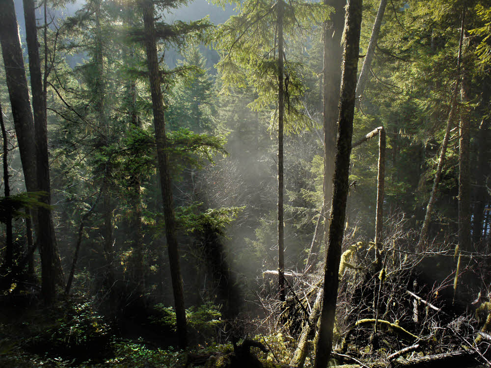
There was a bit of fog, which made itself evident toward late afternoon when a few stray sunbeams poked through.

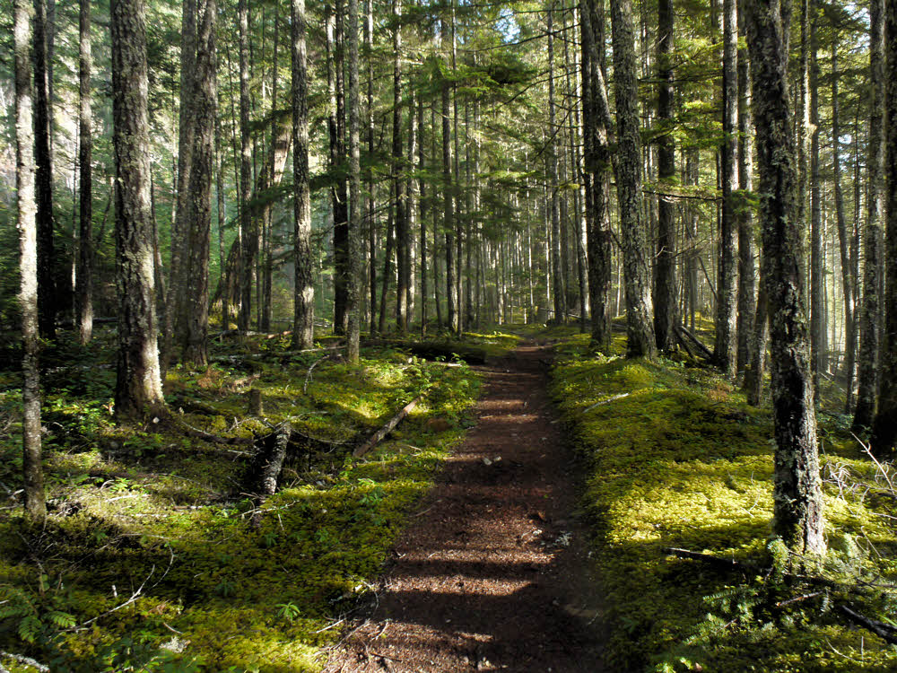
Quiet trail.

The trail is nice though — not many people out on it Xmas Day, though they did seem to be coming in as I was leaving.

Looks warm and sunny. Not warm.

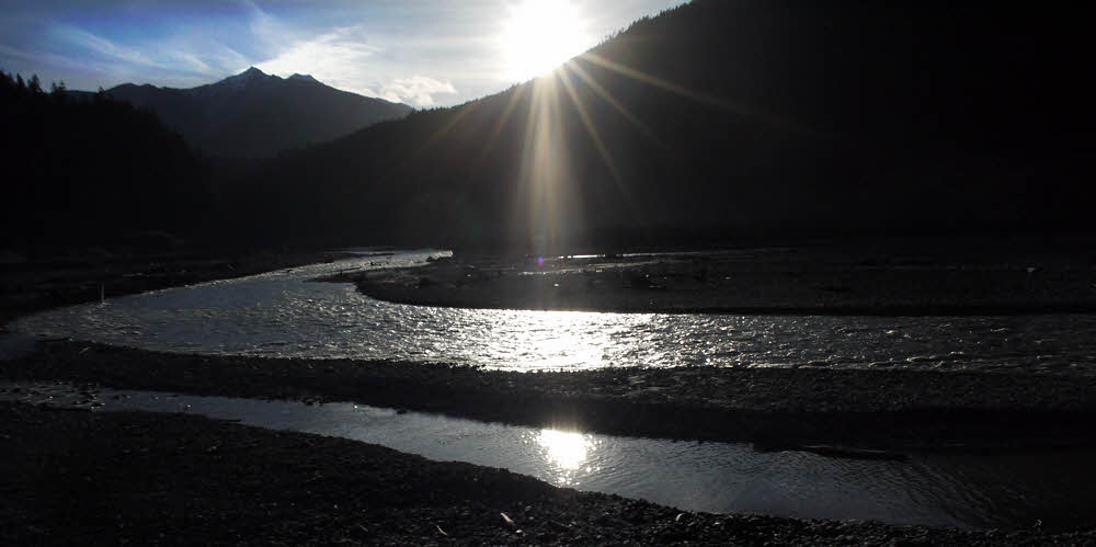
Up higher the sun was still bright, though down in the bottom of the valley things were beginning to get dark.

Near sundown.

And back up near the dam again, I took the trail upstream. It leads to the river bottom, which used to be roughly 200 feet (61 m) under water.

Meanwhile, back near the dam...

There were about 10 or 15 others out there, all of us gawking.

Showing the gap.

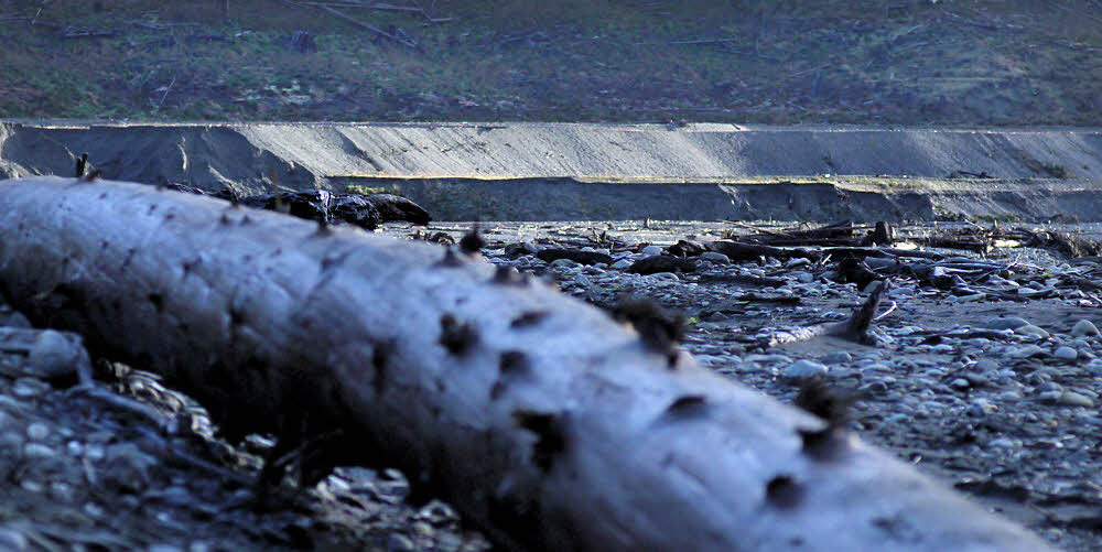
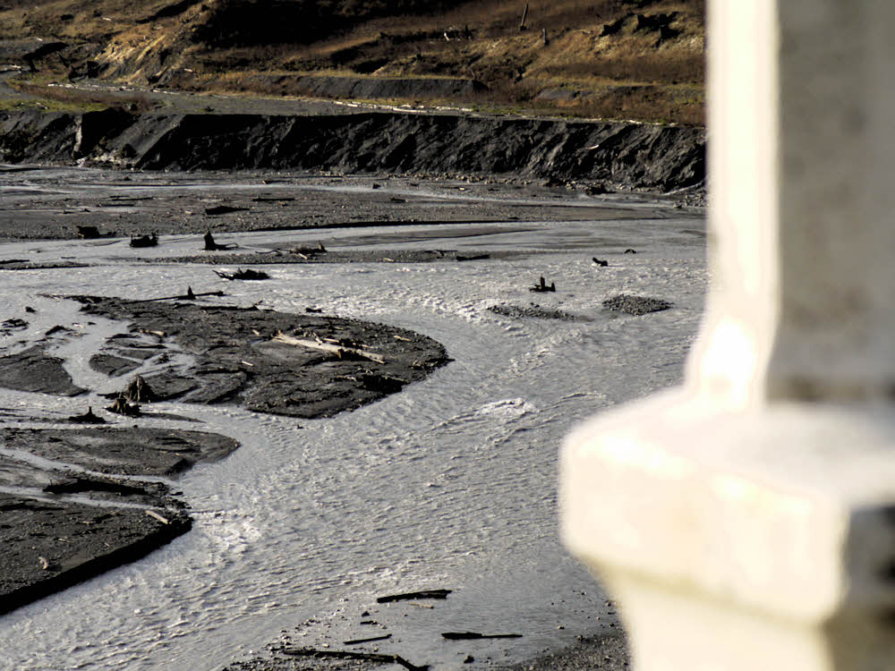
There is still lots and lots of silt, clay, sand, and gravel waiting to work its way downstream.

Free to wander.

Overall, though, it's a pleasant place to walk. Where the access trail meets the former reservoir, it's a little awkward to make the transition due to a couple of small streams and mud.

More thrashing — the river was full-up.

Once you get out on the bottom though, it's easy to wander wherever you want to go. And the river is impressive.

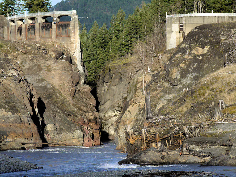
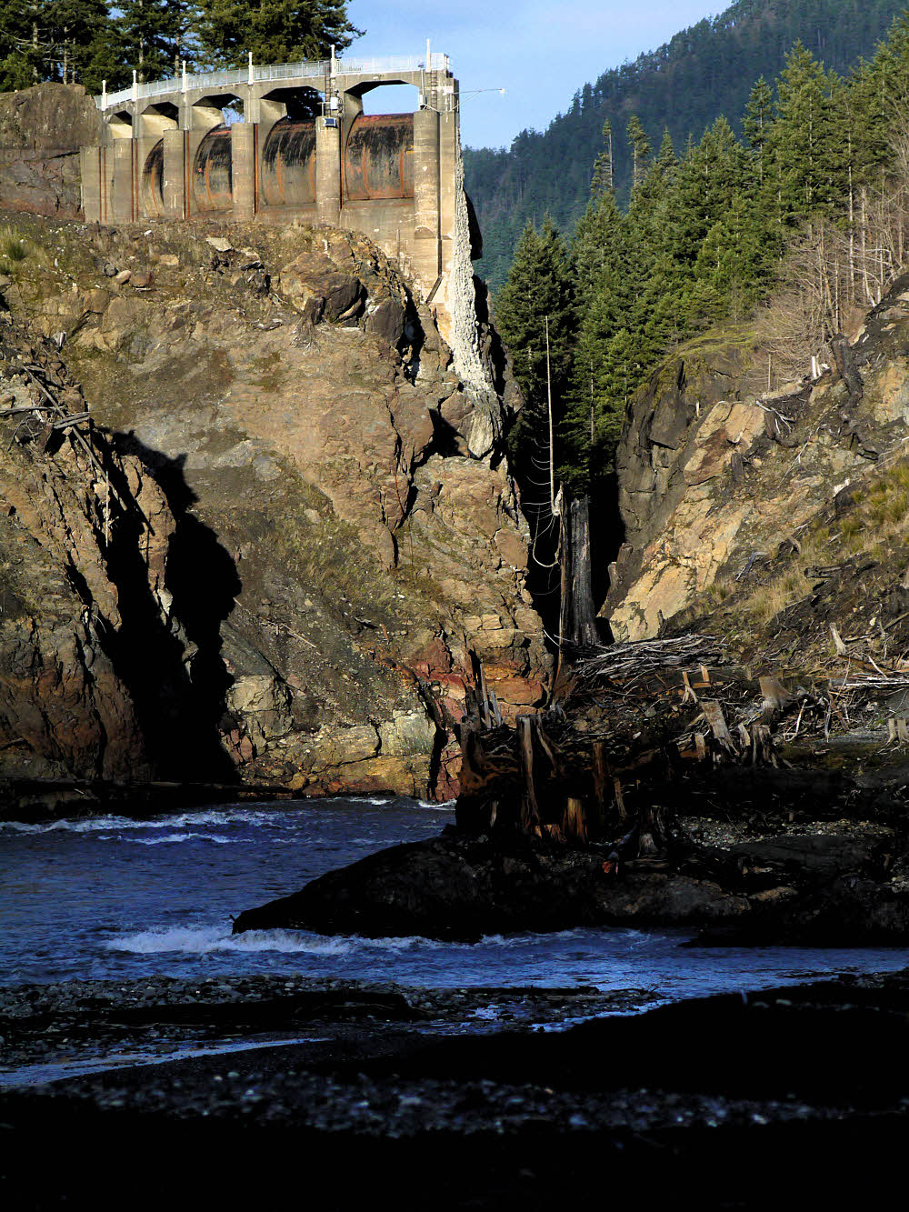
Finally — a good view of the dam.

It's surprisingly easy to get almost all the way up to the dam. Anyway, close enough to get a great view of all 205 feet that aren't there any more.

Slightly upstream.

For the second time, since I stayed long enough, I saw the last rays of the sun illuminating the scattered logs and crumbling, sliding banks.

Second sunset.

The place does have a sort of quiet beauty, for those of us who like noodling around water. I always like looking under rocks for friends.

While the dam gets the last shot of sun for the day.

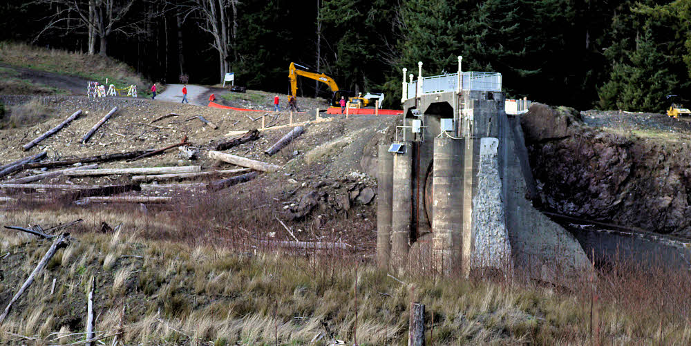
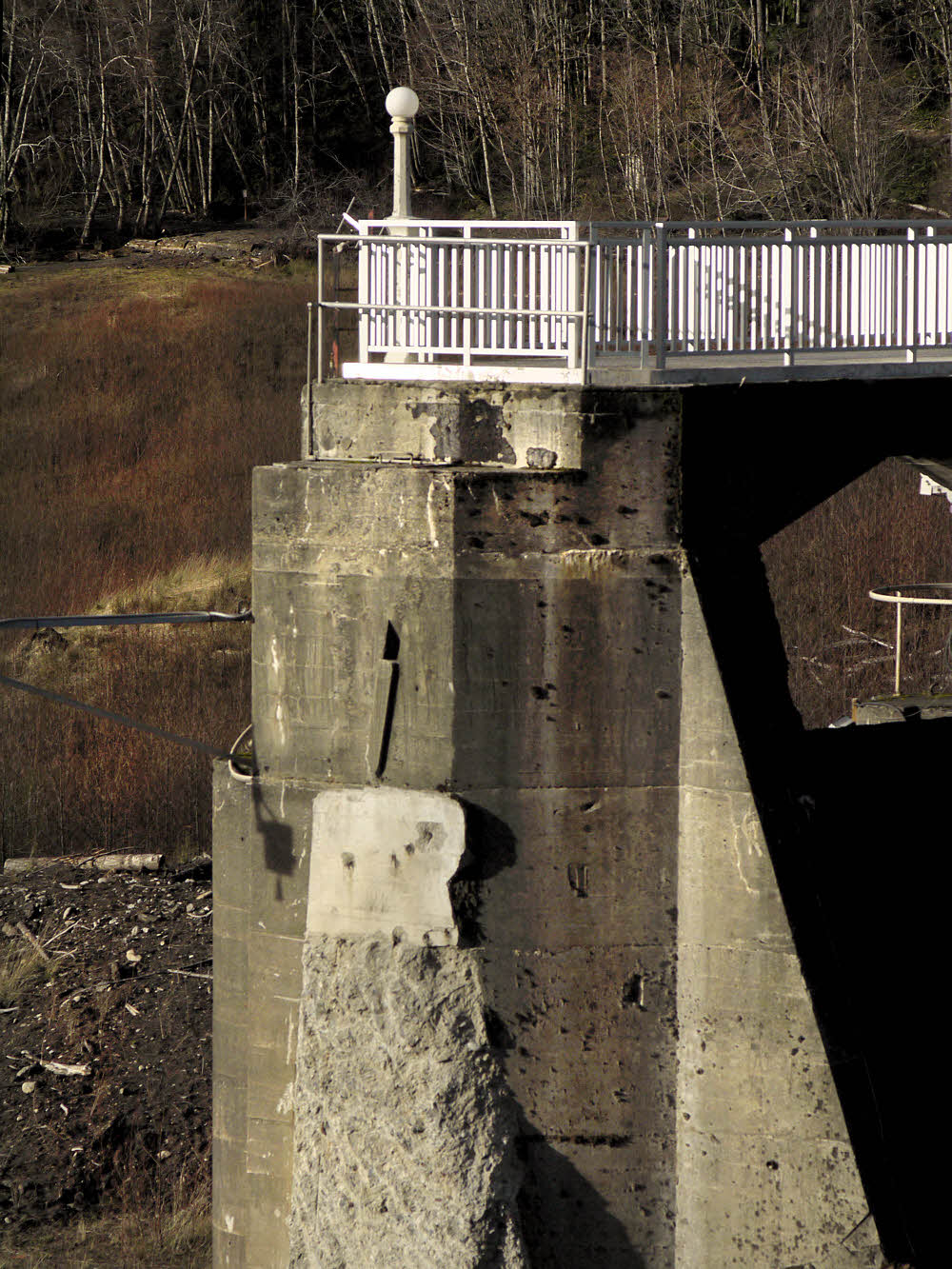
I guess they're leaving the western half of the dam, where the spillway is. I heard last night that the western side will be open within a month or so, so there must not be any more work planned, which means that this stuff will stay as-is.

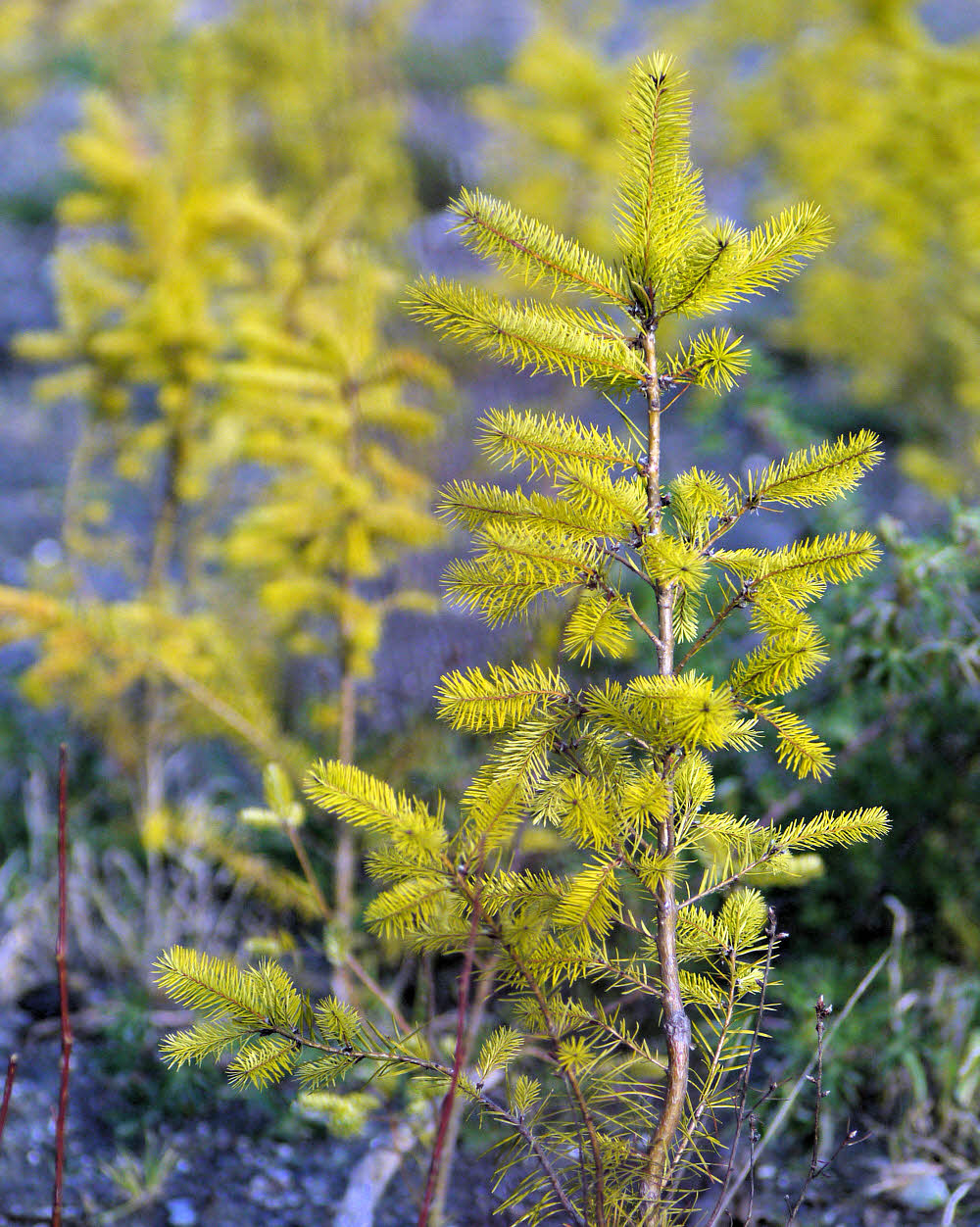
One of the young trees in the valley floor.

Some trees were planted, some volunteered. I don't know which is which, but there were lots of these little guys out there.

West bank.

And a few yahoos ignoring the warning signs and goofing around the construction equipment in the area that's still closed.

More:

Previous post: Dam-B-Gone

Elwha Ecosystem Restoration

Elwha River Restoration

American Rivers' DamNation Film Guide

Return of the River A film about the largest dam removal project in the history of the united states, and the extraordinary effort to restore an eco-system and set a river free.

Wednesday, January 7, 2015

Dam-B-Gone

Gline me a river.

Parking lot, Xmas Day, about 10:30 a.m.

It was time.

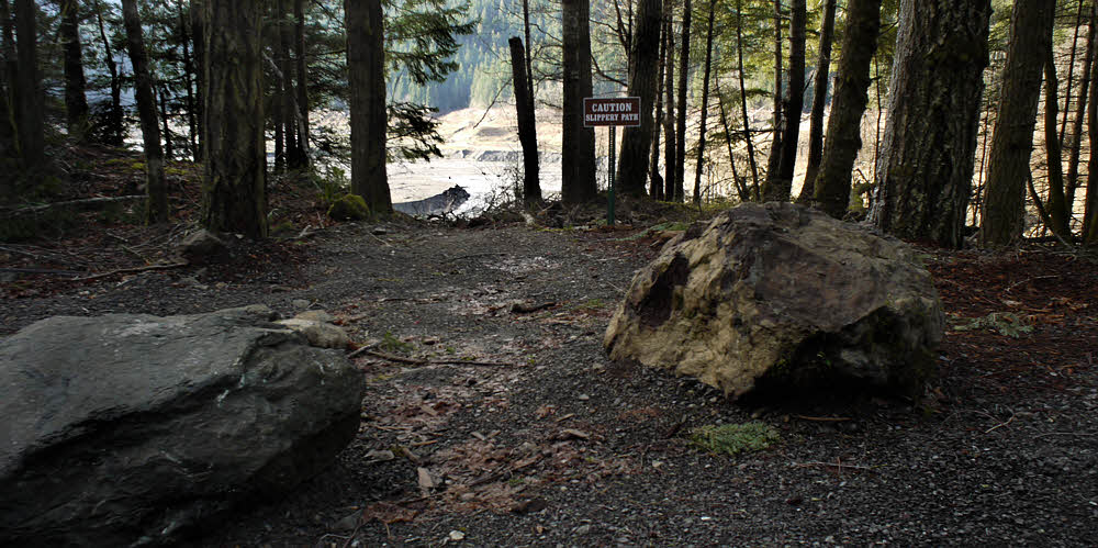
This way to the former lake.

Time to get out, now that I could, and see where the dam used to be.

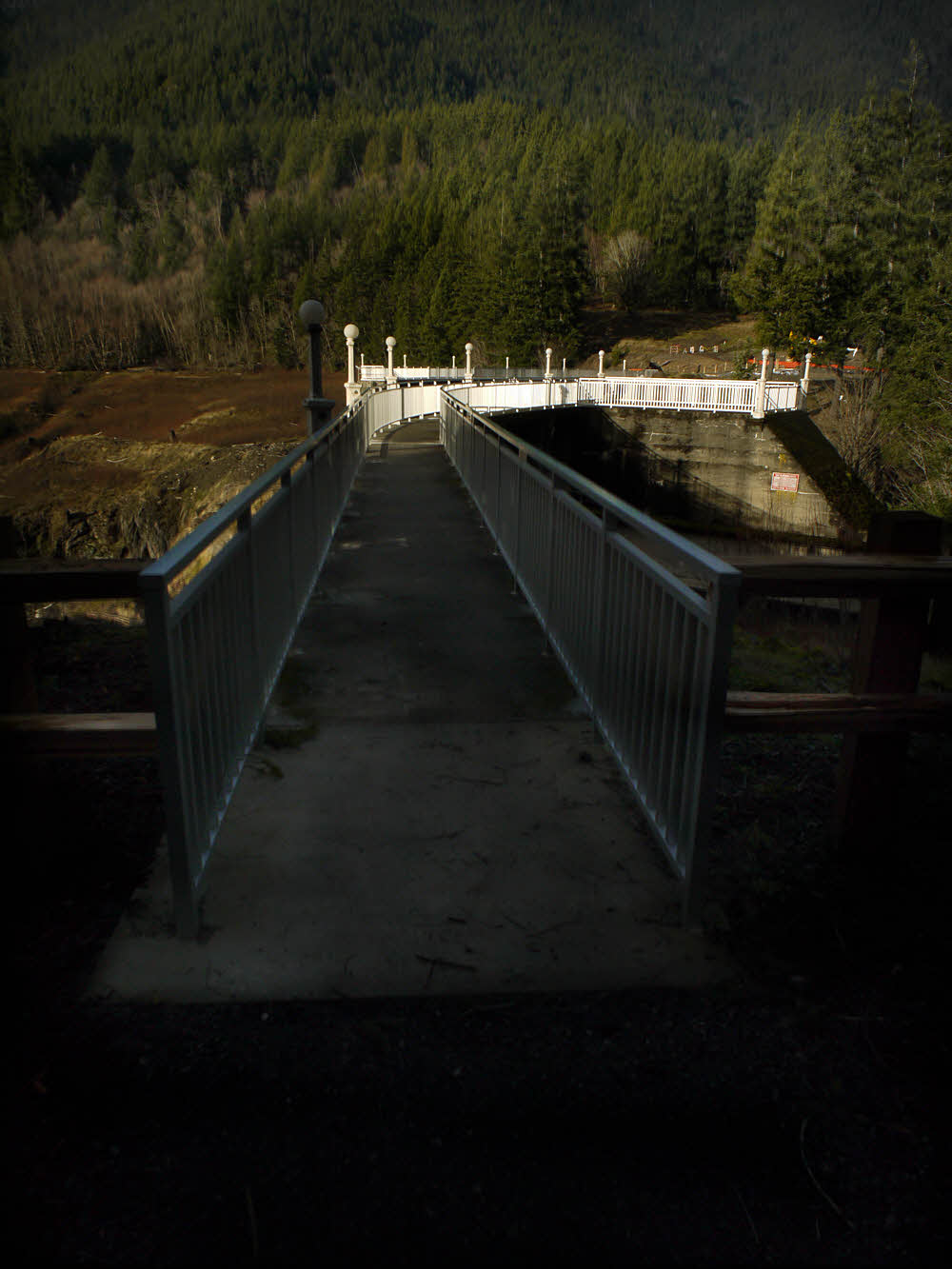
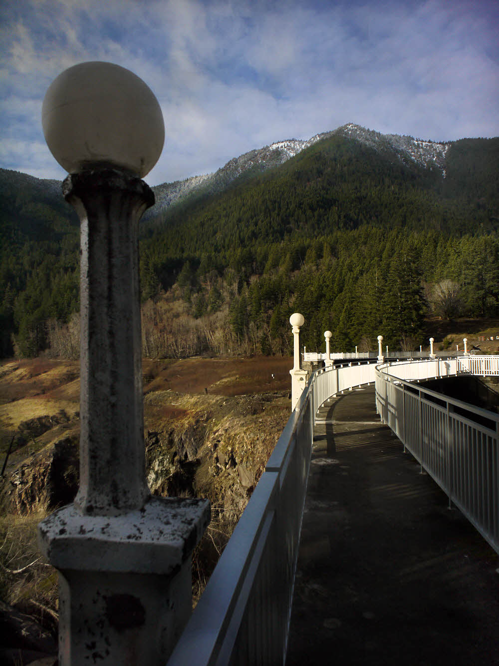
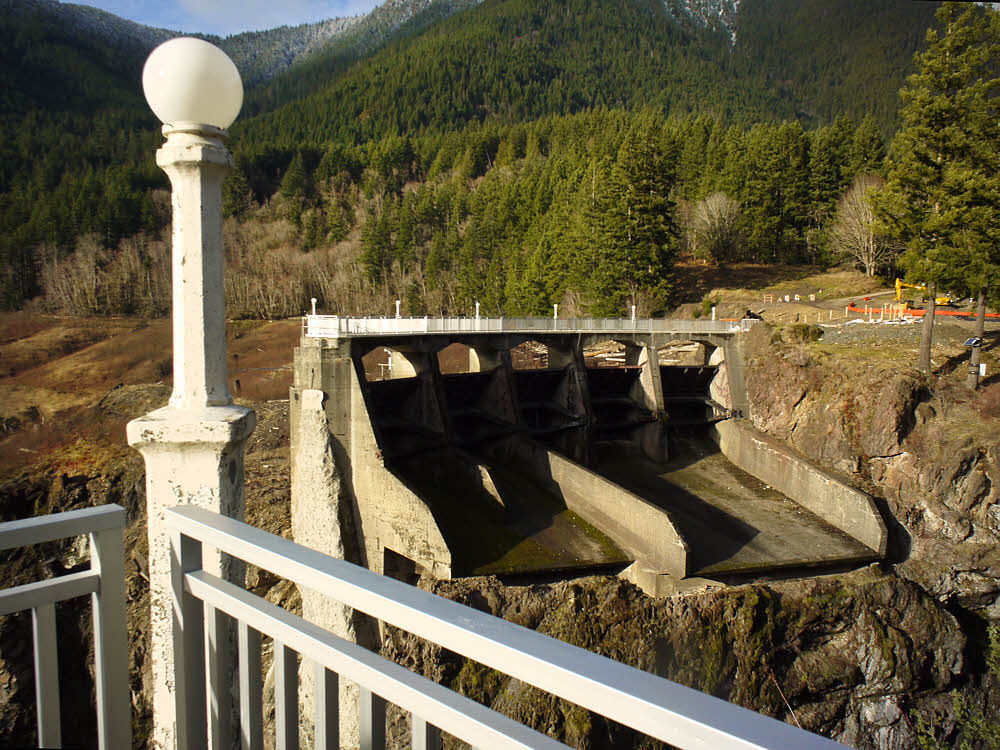
Walkway to the former Glines Canyon Dam's top.

Since Xmas Day was nice (no rain, no wind, some sun), I went then.

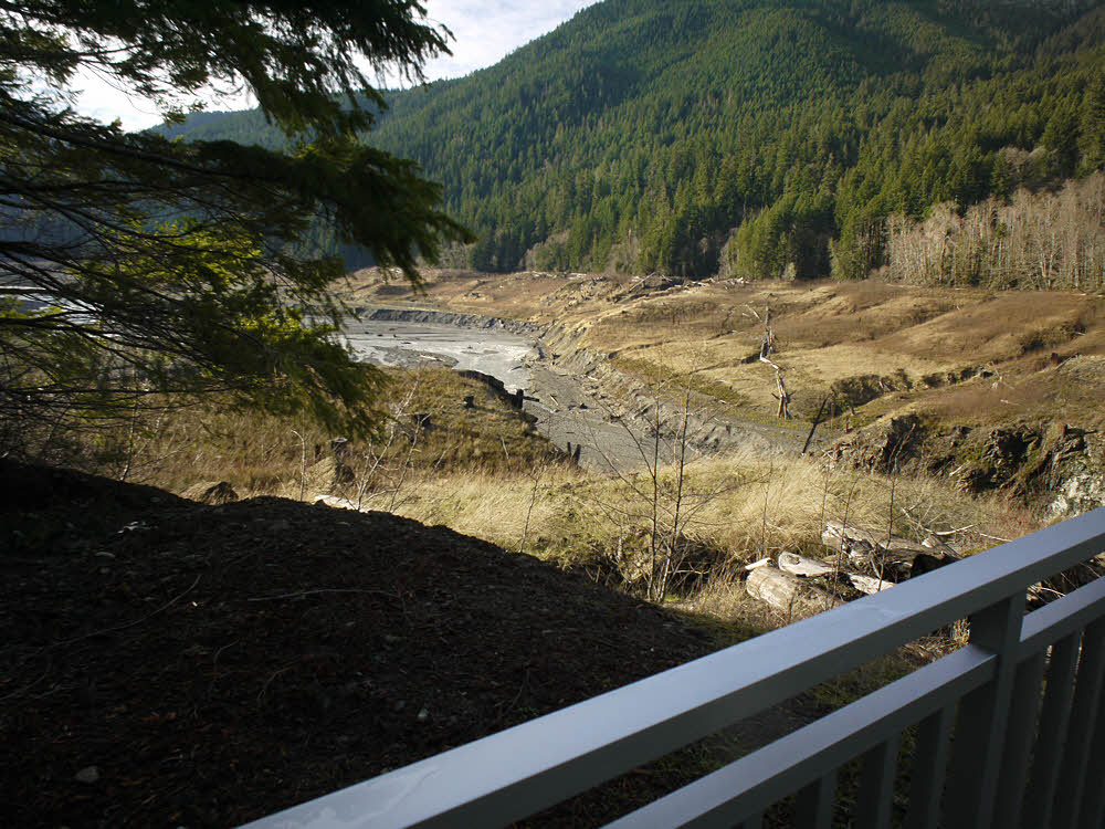
Where Lake Mills used to be.

And the dam site had recently been opened to gawkers.

All calm and clear, with a light dusting of snow.

It's pleasant. Civilized.

The Elwha River's new channel.

Only the eastern side is open for now, but that is well done.

Across the gap, the former spillway.

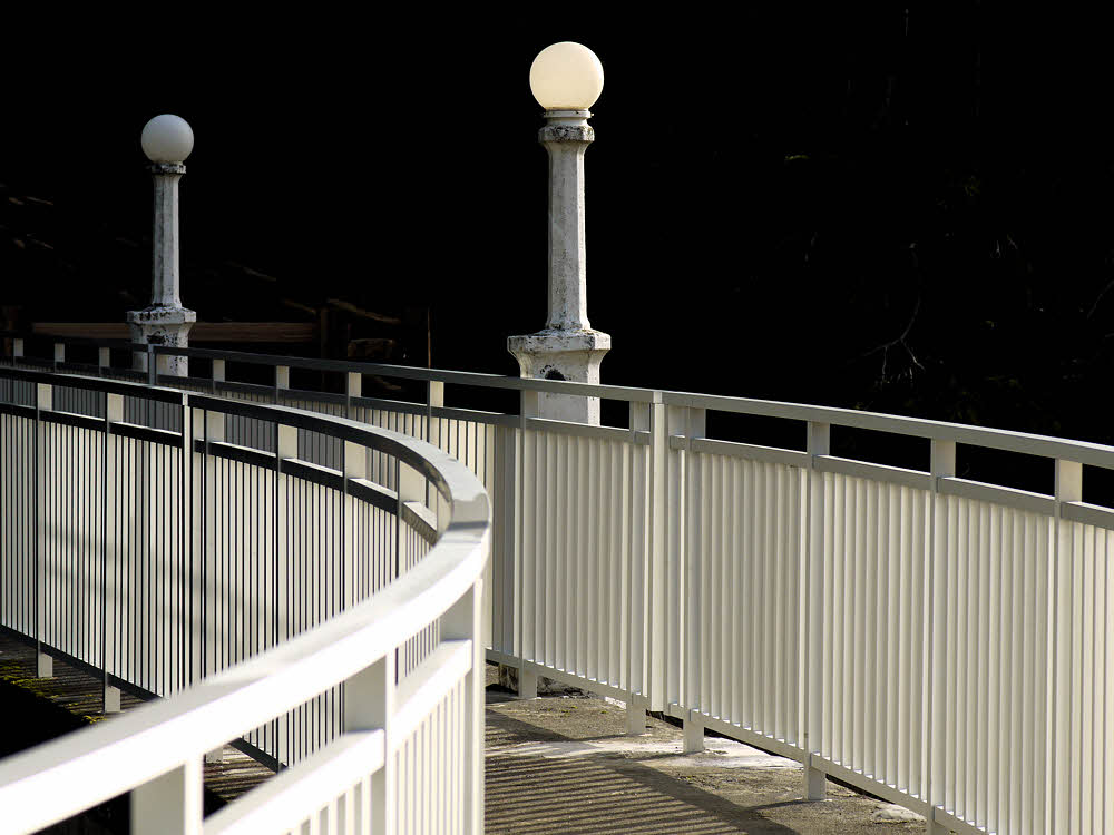
The parking lot and railings that were set up are nice. A but rustic but simple and low-key.

Eighty years worth of sediments, on their way out.

Just as they should be.

Not much use for these any more.

And even though I got a deliberately late start, I was the first there.

Lots of sediment still pouring down from the mountains, by the look of the water.

There's a clear view upstream, into the valley that used to be full of lake.

Almost viscous with rock flour.

It's surprising how much vegetation has popped up in the roughly year or two since this project has been under way.

What's left of the dam, still clawing at the earth.

And it is interesting, in a different way than before.

The west (far) side is still closed to public access.

Thirty-five years back, when I was first here, the dam was roaring. And scary.

Decidedly chilly, especially above a critical elevation, though sunny below.

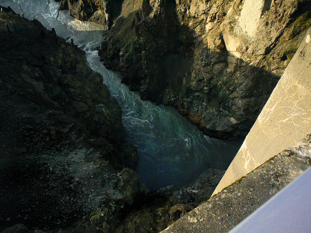
I went over the fence and leaned out into the canyon for a look at the downstream face of the dam. That was in summer.

More sand, gravel, and silt.

Impressive.

Toward the upper end of the former lake bed.

Now you can simply stand at the railing and look straight down at where the dam used to plug the river, and it's still impressive, though the water is churning through the chute and not shooting out of an exit tunnel.

More water eager to get out, now that it can.

I imagine they'll leave what's left of the dam, since it won't interfere with the river, and leaving a few scraps gives a hint of what the dam was like.

Still, and for some time yet, a land of little color.

In a few years there will be forest on what used to be the lake bottom.

Meanwhile, back at the dam, things look elegant in the slanting light.

Forest, and trails, and campsites, and it will all seem pretty well normal.

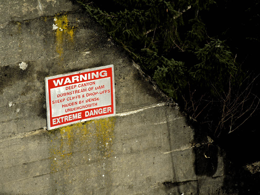
A warning sign from the old days.

At the moment it's still raw. And muddy.

Now only a tourist curiosity.

But they've done a good job. It's a pleasant sight. Next time, I'll finish this post with a walk upstream.

More:

Next post in this two-part series.

Elwha Ecosystem Restoration

Elwha River Restoration

American Rivers' DamNation Film Guide

Return of the River A film about the largest dam removal project in the history of the united states, and the extraordinary effort to restore an eco-system and set a river free.