Showing posts with label trails. Show all posts

Wednesday, January 3, 2024

Turnpike

Turnpike

(1) A trail built with a bed raised above wet, boggy areas, done so by placing mineral soil over fabric between parallel side logs or rocks that run along the edges of the trail tread.

The tread must be "crowned" or raised in the center to enhance runoff, and small ditches usually run along the sides to provide even more drainage.

(2) Or, try this...A turnpike is a road or trail constructed from a combination of gravel, soil, and other filler to make the tread higher than the surrounding water table. Turnpikes are useful in low-lying areas with poor drainage. Boardwalks (See the picture?) are often used instead of turnpikes to accomplish the same goal. So there. (Calm down — it's just a path.)

(3) An overused trail, mostly for getting casual amblers to the more trendy and scenic (i.e., "money shot") backcountry. Turnpikes are often flat, wide, at least sort-of paved, and pretty much always crowded, these days with way too many selfie-clicking idiots.

Examples:

(1) The turnpike allowed us to keep our feet dry, and we also managed to stay out of reach of the bog monster, though we threw it all our spare food, just to be extra safe.

(2) A turnpike sounds fancy (and dangerous in a high-speed way), but it's only something to help keep your feet dry while avoiding the bog monsters.


Have anything worth adding? Then try sosayseff@nullabigmail.com
Me? Lost my pike when I turned around. Oh, well...


Etc...

so says eff: sporadic spurts of grade eff distraction
definitions: outdoor terms
fiyh: dave's little guide to ultralight backpacking stoves
boyb: dave's little guide to backpacks
snorpy bits: nibbling away at your sanity
last seen receding: missives from a certain mobile homer
noseyjoe: purposefully poking my proboscis into technicals

Wednesday, September 13, 2023

Cut Slope

Cut Slope

Original image stolen from USDA Forest Service, then edited.


(1) A level area created by cutting into a slope and adding a retaining wall.

Since the soil exposed by this is already compacted, the level area created is generally more stable than if it was created by laying in fill.

A cut slope is a manufactured form of the stream version, which is a cut bank, but a bank is usually all-natural (no sweaty work needed).

(2) This is a hillside hack, created by placing a trail inside the landscape by removing some of what was there originally. Do that and you get something like this, a cut slope. Produced by cutting, eh?

The point is to make a firm, level surface to walk on, which a slope doesn't have, and which you also don't get by just piling dirt onto a slope, even if you do it carefully.

You gotta go and hack and chop and cut that sucka down into the slope, and you gotta know what you're doing.

And when you're done you have a cut slope and you can walk there, and that's just exactly right. It's now a trail. Congratulations, you.


Have anything worth adding? Then try sosayseff@nullabigmail.com
Me? Cutting and hacking? Me? Get real.


Etc...

so says eff: sporadic spurts of grade eff distraction
definitions: outdoor terms
fiyh: dave's little guide to ultralight backpacking stoves
boyb: dave's little guide to backpacks
snorpy bits: nibbling away at your sanity
last seen receding: missives from a certain mobile homer
noseyjoe: purposefully poking my proboscis into technicals

Wednesday, April 13, 2022

Half Bench

Half Bench

This is a stretch of trail where half the width of the trail tread (the uphill part) is dug out of the original hillside and the outside half of the trail tread is created with the excavated material, which then gets compacted to make it walkable. (And safe, mostly.)

The finished trail tread is part original hillside and part fill, doncha see. This is a way of creating trail tread consisting of equal parts dirt and good intentions. Hard to get right. But then there are sometimes big immovable objects in the way, so what else can you do?

A half bench trail is built half on firm old ground and half on new packed fill, and is a good fit for half-fast hikers.


See tabs at the top for definitions and books.
Have anything worth adding? Then try sosayseff+eff@nullabigmail.com
Me? Recently unearthed. Again.

Wednesday, November 17, 2021

Chink

Chink

A mysterious being that appears whenever any two stones are laid together. Chinks were first noticed by volunteers while armoring trails with flat stones.

The rule of chink: A chink never attaches to a lone stone, but instantly materializes when that stone is set next to another one, or another one is set next to it.

A chink, if left alone, will collect insects, spider webs, fallen leaves, and dirt but does not alter or eat them. Moreover, chinks are where skinks like to hide. (Look it up.)

If disturbed by motion of the stones around it, a chink will instantly and soundlessly vanish.

Chinks are also always solitary — no two chinks ever come into contact, and of course, given this, no chink has ever been seen breeding. Neither has any free-range chink ever been sighted.

Chinks inhabit only walls, walkways, and similar structures, and remain forever silent and motionless, instantaneously appearing and disappearing seemingly at random but never changing position.

Watching chinks appear and disappear is an essential element of the magic that is trail building, and why so many devote their lives to that practice.


See tabs at the top for definitions and books.
Have anything worth adding? Then try sosayseff+eff@nullabigmail.com
Me? Recently found a nice hole to hide in.

Wednesday, May 16, 2018

Fletcher, Fetch Me A Canyon!

North Fork, Quinault River.

Traffic hazard.

Start here.

Way out of date: Colonel Bob Trail has not been there for at least 25 years.

Free comics.

Secret frog.

Yep, this is it.

Trillium. Two of 'em at once.

A bit overgrown these days.

Footlog and Fletcher Creek. And sunshine.

Waterfall upstream. And sunshine. Also overgrown.

Spring leafies.

Fletcher Creek and alders in the sun.

Clear, clean.

What is this? Salmon berry? Anyhow, it's doing fine.

More water. More rocks. More sunshine.

No idea what this is called, but it looks happy.

Caress.

I left the beach. (Previous post.)

Rather than going back to my temporary home base the way I'd driven out to the coast, I headed south to make a loop out of it, and I had unfinished business to attend to from two years earlier.

I'd done the Skyline Ridge Trail/Quinault River loop in Olympic National Park in 2016, and left a small tree tied up. I had used some line and a small carabiner to bend the tree over and out of the way of my hammock so I could sleep.

The next morning I forgot to remove them, recalling the issue only after I'd made it back to the trail following some thrashing through undergrowth, and decided not to go back. I stopped several times to reconsider on my way out and made the wrong decision each time: Leave it.

For two years I've been worrying about that tree, so I had to go back and check on it.

I did a quick two-hour, out-and-back evening hike to that secluded spot along the Quinault River and found both the line and the carabiner gone. The tree was still there and looking good - no permanent damage. I tied up the tree (bent way over, very badly) in late August or early September, 2016, and it clearly had not stayed tied long. Maybe someone fixed it only a few days after I'd tied it. No way of knowing now, but everything is fine.

I decided to sleep at the Fletcher Canyon trailhead and hike that canyon the next day. I used to go there a lot, but the last time must have been 20 years ago. Or more.

The canyon is short - only two miles (3.2 km), but steepish, and shady. Good on a hot day, and Fletcher Creek is cool and clean. Not accessible along the route, but right there in your face at the top end where you need it.

The first time there, in the mid-1990s, I stripped down and waded into the creek. The day was really hot and I needed that. There was a pool on a short bend in the creek and that's what I waded into. From the gravel bar next to it, the pool looked to be about four feet deep (1.3m), but it was almost twice that. And frigid. It was a good deal.

I should have thought of that this time, but when I actually got there, saw the same pool, remembered the experience, and thought about it, I decided not to repeat the performance. Too bad. Even though water spooks me, especially deep water even if it is clear, wading in would have been the right decision, but I skipped it, and now I'll probably never get back there.

The trail is mostly still in good shape, with a few degraded spots. It probably hasn't seen any maintenance in close to half a century, but there were no real problems.

The only thing I didn't like is that the upper flats, at the high end of the trail, are brushy now. The areas around and across the creek from the footlog used to be mostly open and grassy, but are full of berry-bush stalks now, so there is really no option to noodle around the stream banks and explore.

Upstream a short distance is a waterfall, still visible, but not approachable now, really, unless a person seriously likes tussling with shrubbery. On the west side of the creek, the trail used to continue for a short distance before fading out. This was probably the trail to Colonel Bob, but didn't go far then and isn't visible at all now.

Fine. Things change. I still had fun. It wasn't raining. The sun was shining. Not too hot, not too cold. Few bugs. Got to see an old friend of a place. Done.

More info:

Fletcher Canyon, Washington Trails Association

Fletcher Canyon - Explore a rugged rift in the Quinault Ridge, Hike of the Week

Skyline Ridge Primitive Trail, Olympic National Park

The Relentless Skyline, Seattle Backpackers Magazine

Colonel Bob Trail, Washington Trails Association


Comments? Send email to sosayseff@nullabigmail.com

Wednesday, May 9, 2018

Beached, Briefly

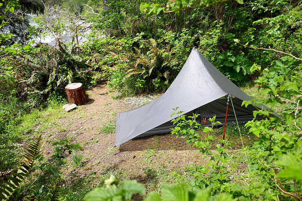
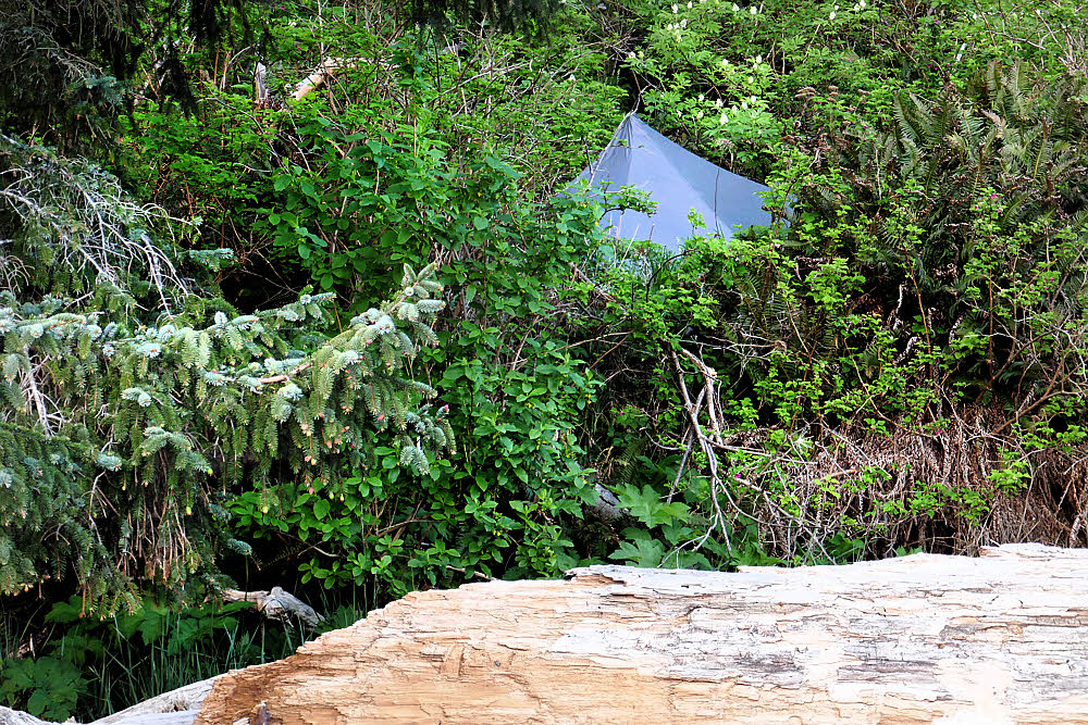
Camp. Safely above the tides (see background) but cramped. I'll call it "cramping". It will be big.

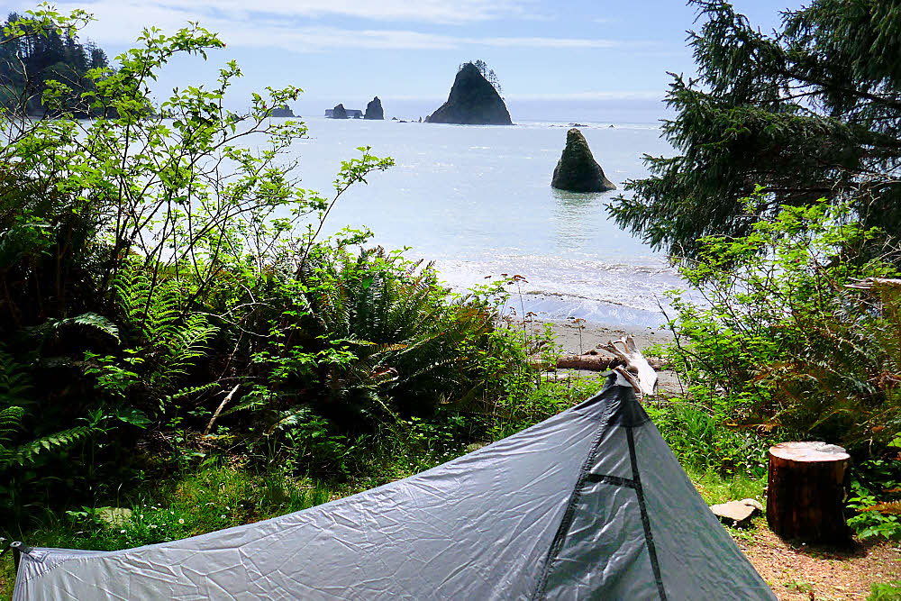
Cramped, but with a nice view.

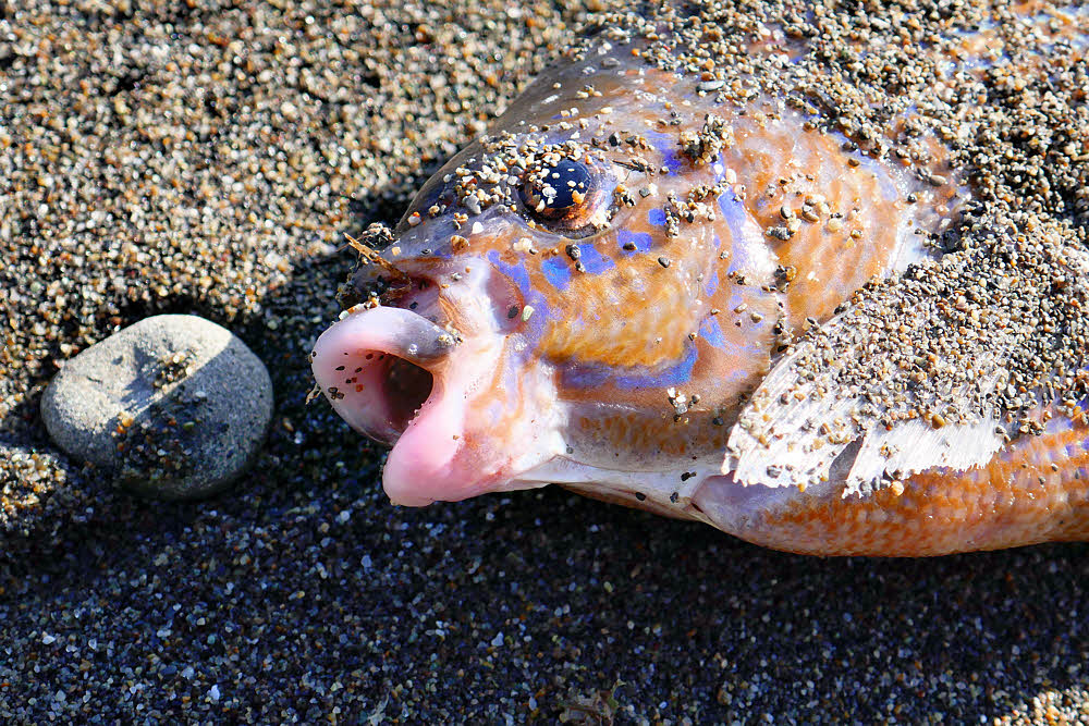
Ed didn't make it. Might have eaten too many rocks. Don't eat rocks, guys.

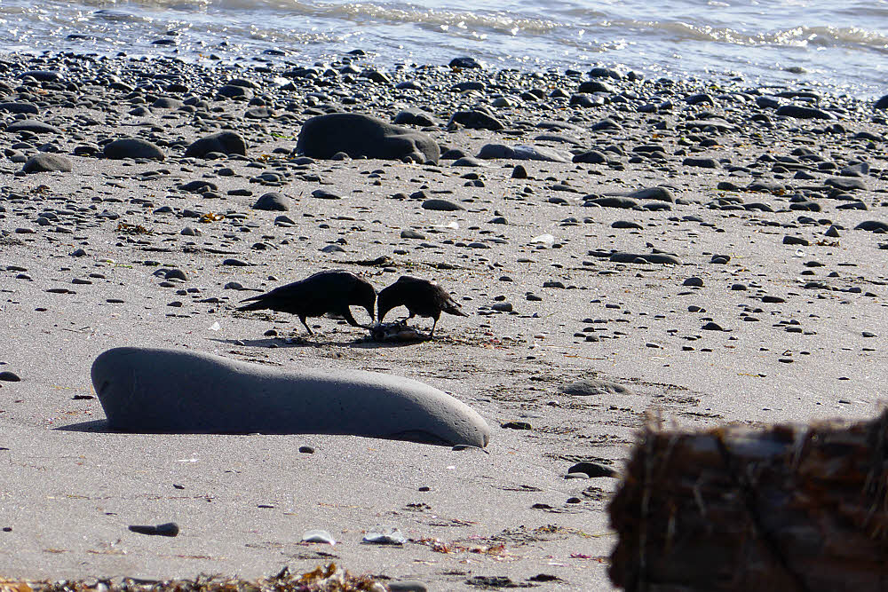
Or the crows will get you. Poor Ed.

Around sunset Tuesday. That would have been May 1.

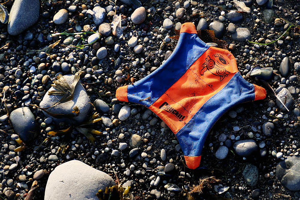
Another friend, Chuckit! So I did. What the hey. He flies good.

Noninflatable sleeping pad. Didn't try it. I think it was a trick laid by the tide. I had my own anyway.

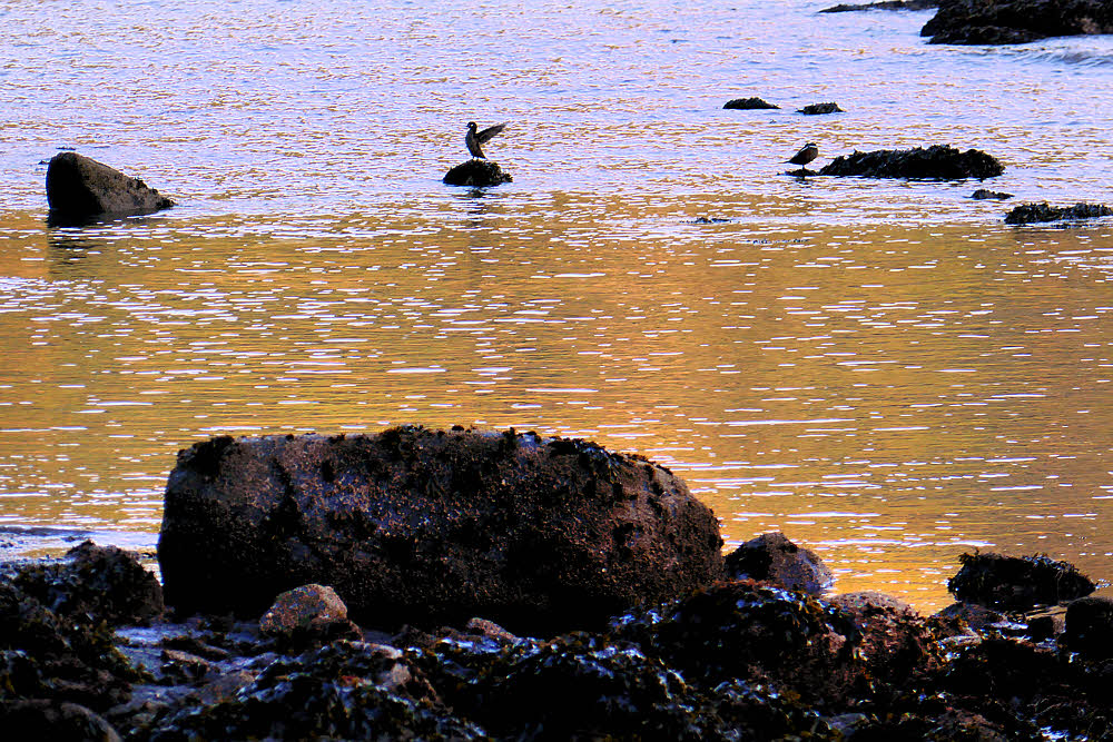
Happy evening ducks. Aren't ducks always happy?

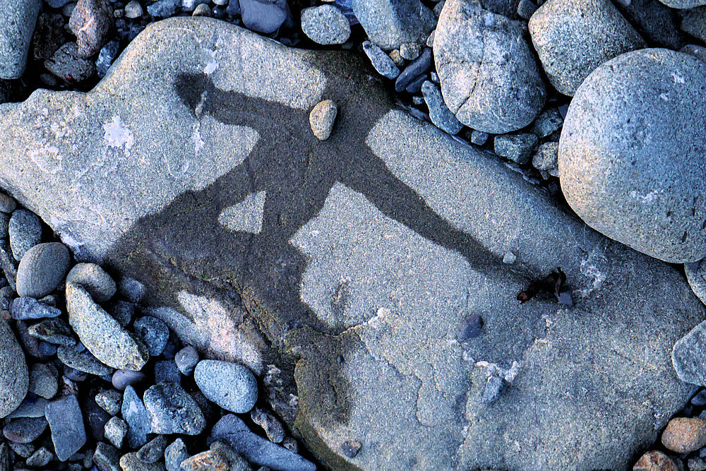
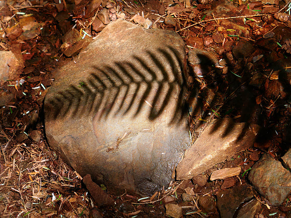
Cipher. Could be a secret message. Erased by the next tide. Verrry suspicious.

My home as seen from the beach.

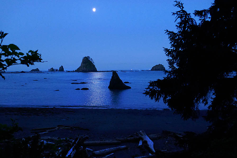
Morning, May 2. About 5:30. Two boats on the horizon. On a seriously low tide it's possible to circumnavigate the fuzzy sea-stack under the moon.

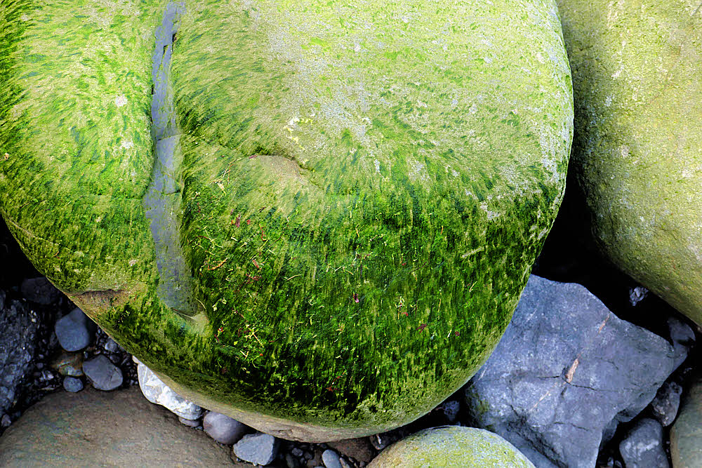
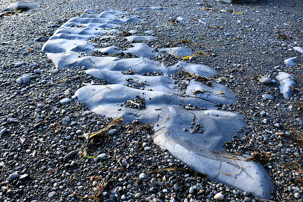
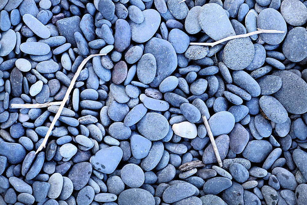
Fuzzy cobble. Difficult walking. Especially when wet, like trying to tiptoe across a convention of bald guys.

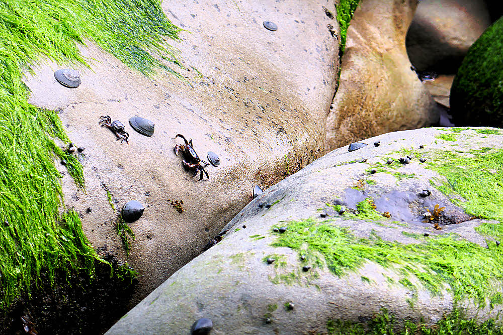
Tiny crabs everywhere. Limpets too.

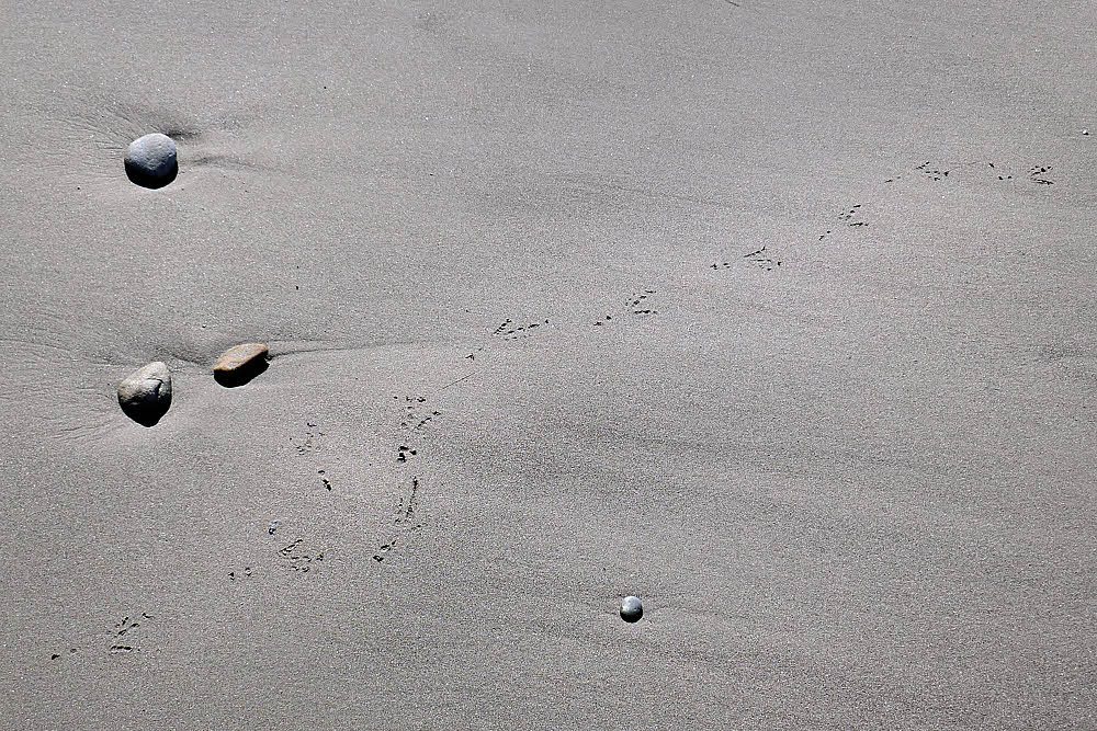
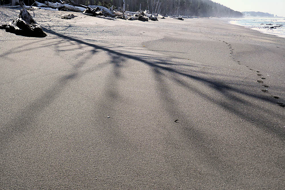
Someone else made tracks.

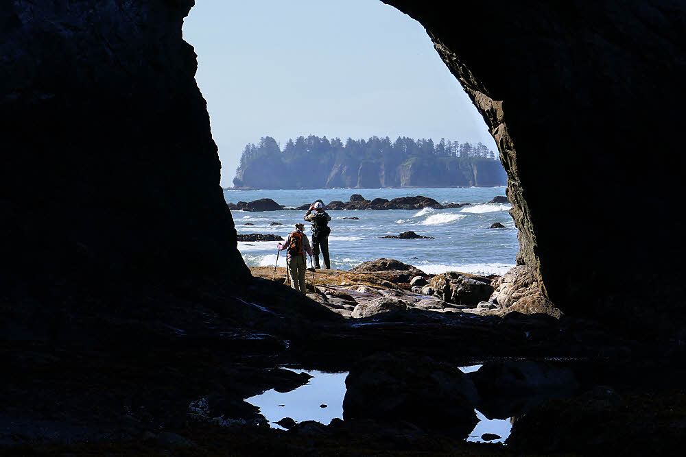
Hole-in-the-wall. Canadians. Remarked that there didn't seem to be a lot of bear food around. Just me, I guess.

Hole-in-the-wall at right center, getting crowded in late morning. Only a couple miles from the parking lot.

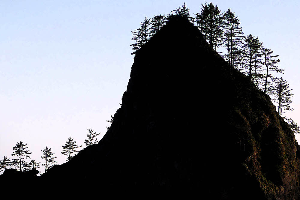
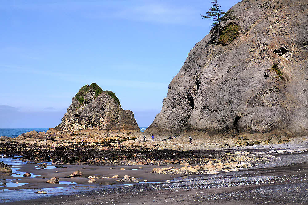
Sea stacks in the other direction. A fun beach.

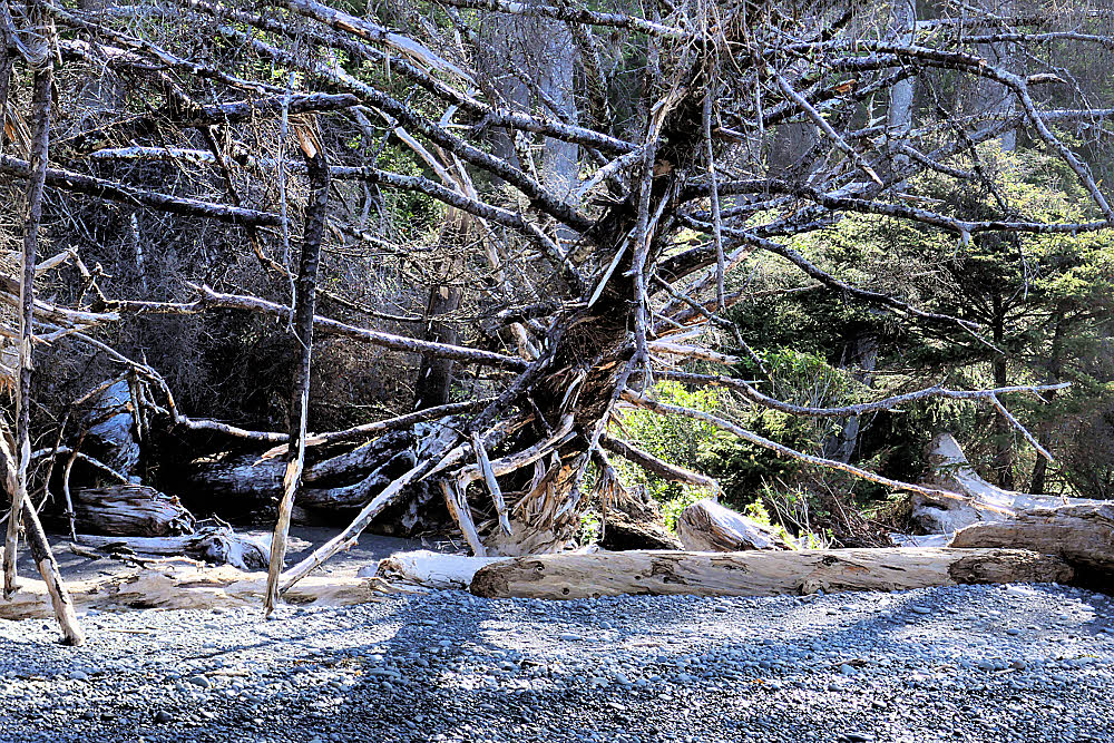
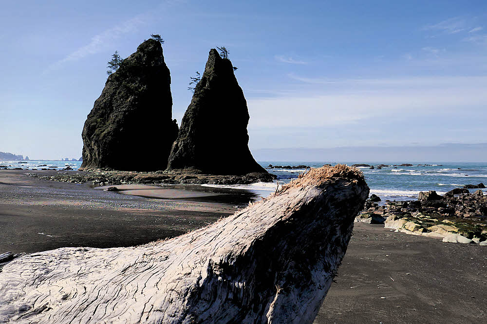
Downed tree. Bristly. Didn't have much to say.

A view like this makes it seem a long way out. Lots of surf. Haze. Salt spray. Rumbling.

This is also hard to walk on.

I had planned to make this three nights and four days but it became one night and two days.

I've been through here many times, beginning in 1980 — used to hike in over Thanksgiving weekend when I had four days off. Hardly ever saw anyone. After a few trips I did one over Christmas. Surprisingly, I saw a few people at Christmas. It seems like Thanksgiving is a holiday that brings people together and Christmas is one that might be too much. Or else a lot of people might find it too far to go "home" to see relatives, so they get adventurous at Christmas.

Thanksgiving is a time to just get together and share, and you can do it with relatives, or friends, or neighbors, or vague acquaintances, so you stay put. November in western Washington is also the stormiest month of the year, which is another reason to stay in the city.

In December there is less daylight, but not too much less, and the weather is certainly not worse, so that might make up some of the difference. Who can say?

I had fun there, but this year the weather, seemingly all rain all March and all April, suddenly broke. People broke loose. I saw a few, only a few, but it seemed too many. I decided not to hike in farther on Day Two as planned, camp two more nights, and hike out on Day Four, but to turn tail and hike out on Day Two.

It worked. My heart wasn't in it, and I have no one to impress. And I've seen it all before, so no great loss. I had fun but didn't want to force myself.

I did learn one great lesson though, one that powerfully influenced my decision: Bear canisters suck big time.

I used one. You have to here, by law. Mine barely fit into my pack and threw off my balance like crazy. I hated every second I had to deal with it. If I'd driven back to Olympia, WA through Port Angeles, I might have chucked it in the general direction of the Goodwill store there as I drove through town.

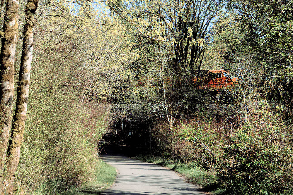
But I didn't go that way. I went south, past Lake Quinault, Hoquiam, Aberdeen, and so on.

On the way I got the idea of possibly using the canister for a food cache later in the summer. If I go out on one or two long trips, I might be able to leave my second week's food stashed in the weeds in the bear canister, which I cleverly bought and paid for and am now stuck with, pointlessly, otherwise.

So maybe. Maybe this, maybe that.

Right now I want to get out again but am briefly stuck waiting for something to arrive in the mail. Maybe toward the end of the week. I can hope.

More:

Rialto Beach (ONP)

Rialto Beach (Wikipedia)


Comments? Send email to sosayseff@nullabigmail.com

Tuesday, April 24, 2018

Hike One

So, the rain stopped and the sun came out.

Now what?

Try hiking, something easy but fun.

So I headed into the wilds of Lacey, WA, and tackled the mighty Chehalis Western Trail.

Preparation: minimal — after several weeks of hiding in libraries I was ready to explode, so I thought I'd try living dangerously and tackle this route "naked".

Start. Plenty of parking. Water. (See background.) All-weather surface. Looks good.

I started about a half-mile (0.8 km) in from where I used to when I lived here. To the railway and back was about 7 miles instead of the former 8-ish miles I used to do mornings. No pets to pick up, so I skipped a pet pickup-bag and didn't pack anything either in or out. Bold!

No motor vehicles. Always reassuring. The woman at upper left was wearing an odd dress with a piano-keyboard print on it, and large headphones (I don't know how she communicated with her companion), but other than that, she didn't seem overly dangerous. I decided to continue.

Blossoms. Must be spring, at least up in the trees.

There was some wildlife blocking part of the trail, but I was able slip by unnoticed while it attacked an elderly man approaching from the opposite direction. When I returned, it was still occupied feeding on the body, so no problem with that either. My lucky day.

Signage was plentiful though confusing at times. I guess this means that if you are on foot you should be ready to run for your life, swerving unpredictably if necessary in case of rogue bicycles. Again, no motor vehicles. And as for obstructions, I did notice some light dust, but managed to make my way around that, and I did see a fallen leaf or two, but again, forewarned is forearmed, and since I was prepared, I managed to climb over them (even without trekking poles), so no loss, though the effort did slow me down a bit.

Typical native huts. Nicely separated from the trail by a thoughtful chain link fence. I didn't see any beggars on the trail, or even near it, so I suspect that the fence may have been electrified. Nice touch.

Freight train. Near the end of my section. I hid behind a tree until it was past. I don't think it saw me.

Whew! At this point I'd gone 3½ miles (5.64 km). For a while I wasn't quite sure if I was still on-route, despite the 12-foot-wide asphalt paving, but once I caught sight of this sign I was mightily relieved. I knew I'd be able to make it back without too much trouble.

And what do you know? Another arrow, although without text (maybe the batteries died), pointing back the way I had come. A second reassurance.

I stopped to look at the tracks but had to scramble away quickly after hearing another train approaching in the distance. I don't know what might lie on the other side of the tracks. I'm not sure anyone has ever been over there. I'll let someone else go first and then think about it later.

This southern end is boggy too. You never know what's going to happen around boggy areas. In Europe they find dead bodies in bogs. Thousands of years old. I'm not that old yet but I don't want to push my luck, you know? I stayed on the pavement and grabbed a couple of shots of the grass while it was looking the other way, then moved on quickly.

Ah. Color. Comforting at first sight, but then it began quivering on its stalk, as though reaching for me. Some say it's just the breeze but better safe than sorry.

I can't say for sure if anyone has ever thru-hiked this route, but the guy on the right could be a good candidate. He didn't stop to talk, and didn't look really happy, both of which only added to my suspicions.

Lakeside rest area. Homeless guys have been known to use this area. I wouldn't doubt that.

Greenery. And to think that only a week ago this was all a wasteland of mud and gray skies and endless rain.

But the ditches on each side of the trail are still full to the brim with black water.

And who knows what might be living down there? Luckily for me, although the day was growing late it was nowhere near dark yet, so I made it all the way back to the parking lot without incident, and then left immediately.


Comments? Send email to sosayseff@nullabigmail.com