The route.
Starting at the Graves Creek area, I went counter-clockwise, cutting a day off the trip because of the wet and a couple of poor equipment choices.
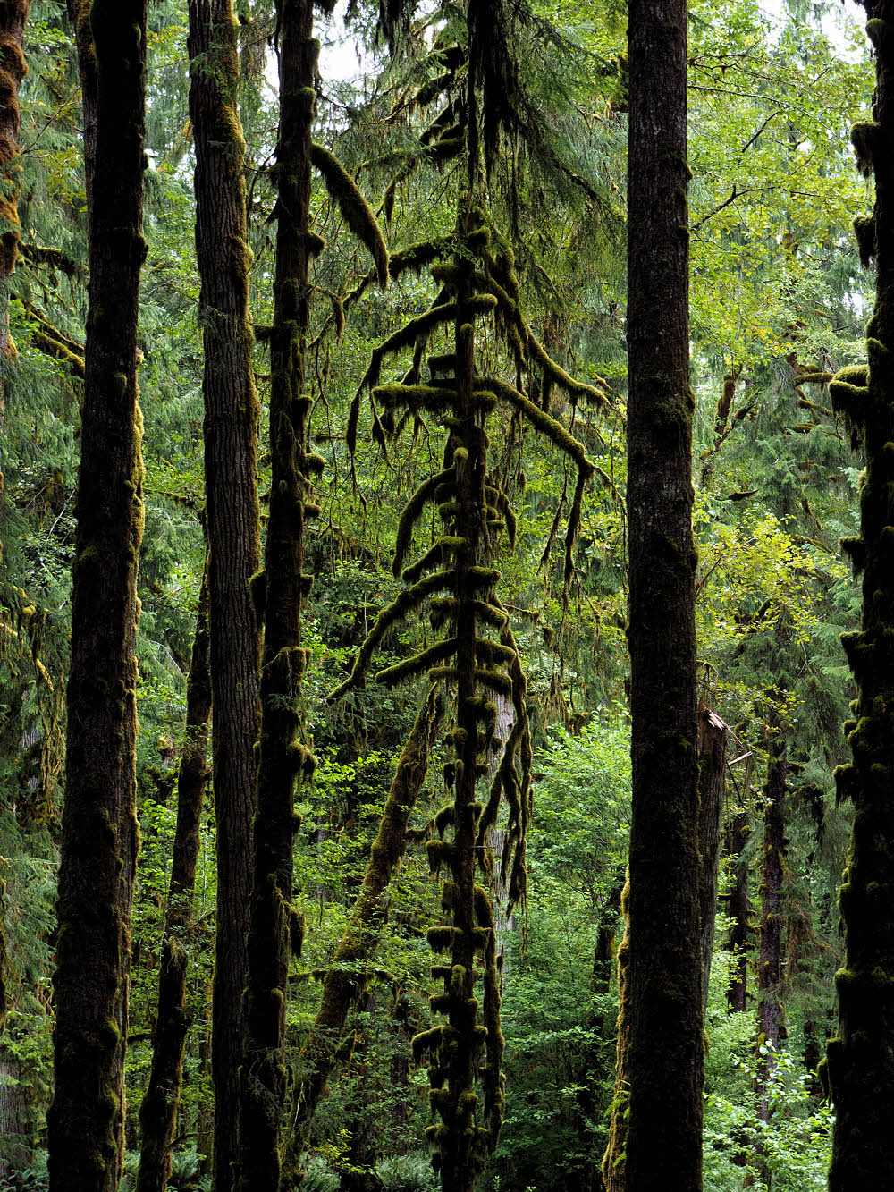
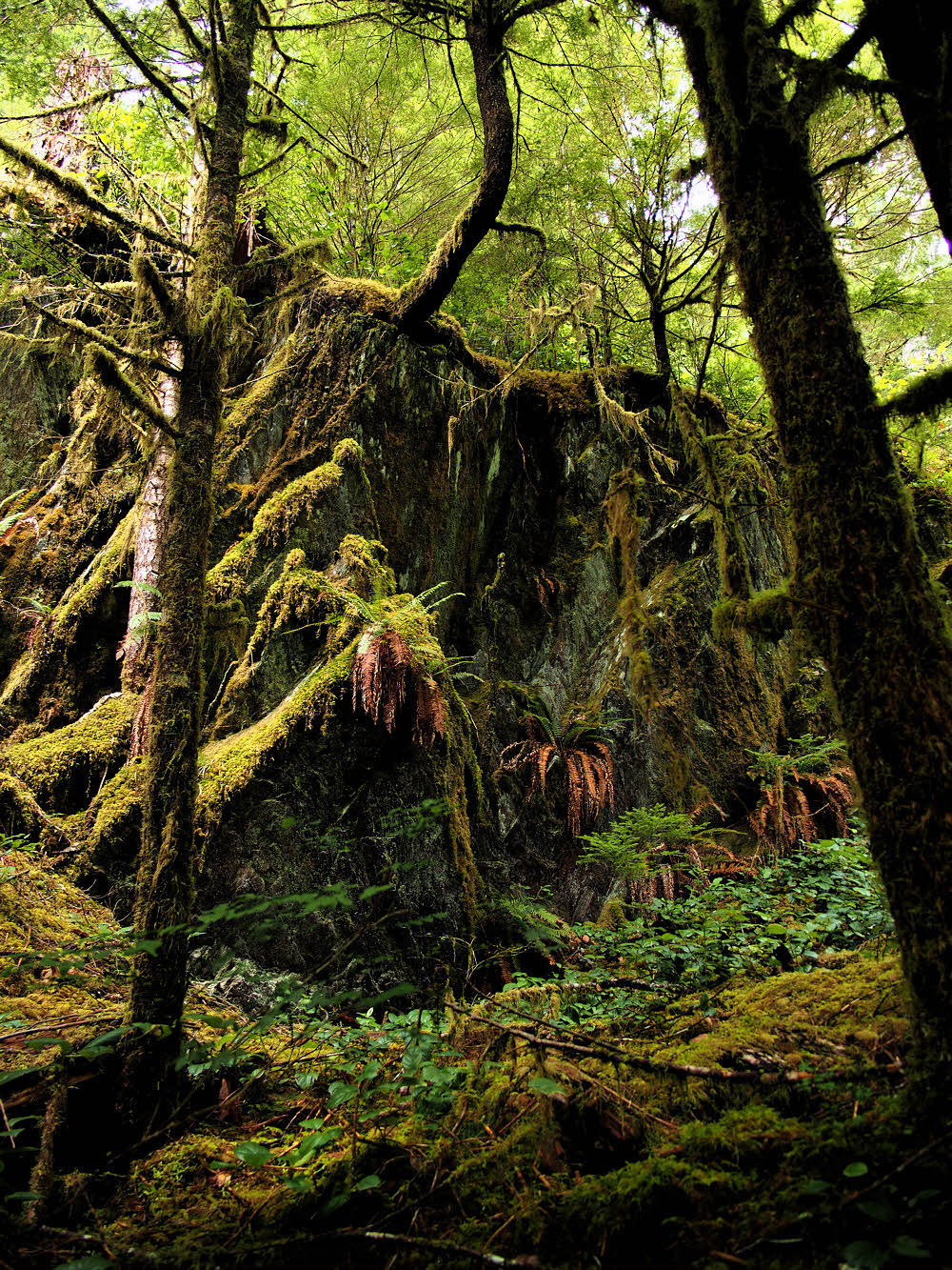
Typical forest along the north shore of Lake Quinault.
I came in from the north, from Port Angeles, and took the North Shore Road, along (what else) the north shore of Lake Quinault.
There's lots of moss here.
I thought that this would be shorter than the road along the south side of the lake, and it was, but the south road is much better — wider, better paved, paved for more of its length, and in better condition.

Low down on Graves Creek Trail.
The weather had been drippy, but was due to clear. In fact, by the time I started, the weather was clearing. I was hopeful.

Typical scenery here, and in many places in the Olympic Mountains.
In fact, by the time I began hiking, the sun was breaking through. It was getting warm. Warm and damp and stuffy, but warm.
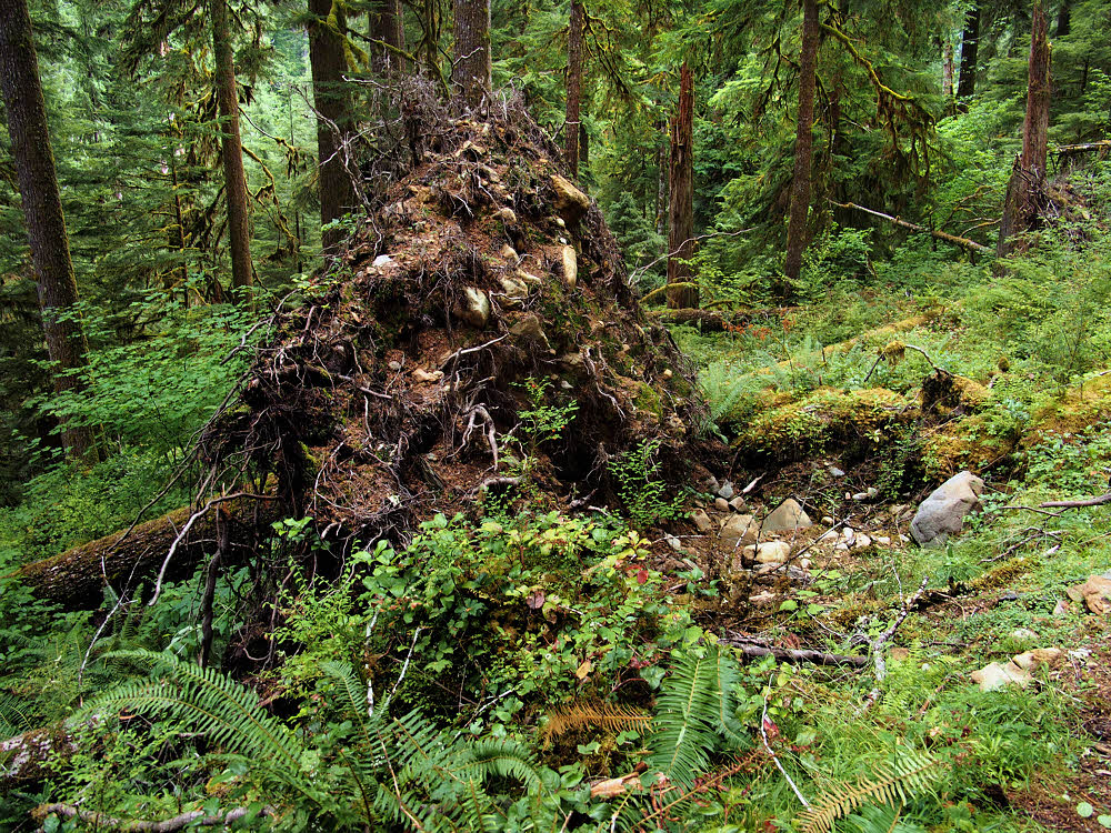
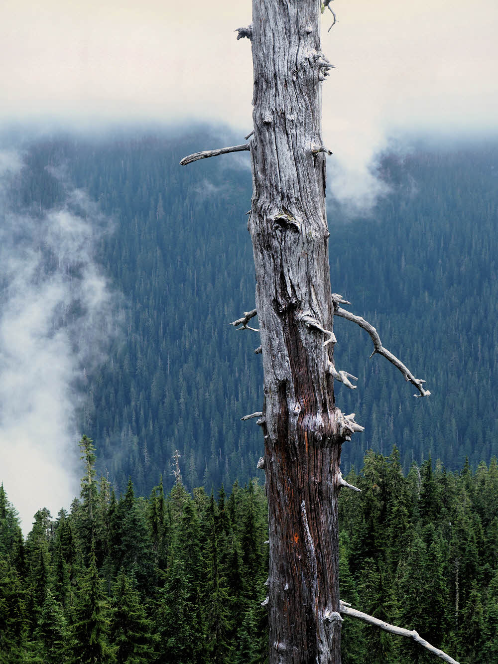
Sometimes trees just give up and fall over.
The night before, in Port Angeles, the fog had been so thick that the sound of it scraping along my apartment had almost kept me awake. Not quite, but for some reason the ships anchored in the harbor all began hooting, loudly, and kept that up all night. It was like sleeping on the railroad tracks.
Sometimes it's the vegetation that wins and the rocks that lose.
So I was not in a great mood, but had enough caffeine to keep me awake, and once hiking, I felt good. I should have known better.

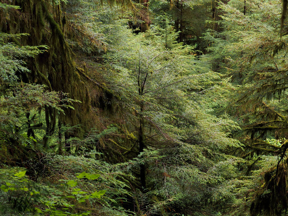
This trail is little used, dark, winding, and quiet.
But I was out, and that counts. Early on I met a crew of teenagers whacking brush. This was a surprise. I'd never seen anyone else on this trail before.
Not quite as bad as I'd expected.
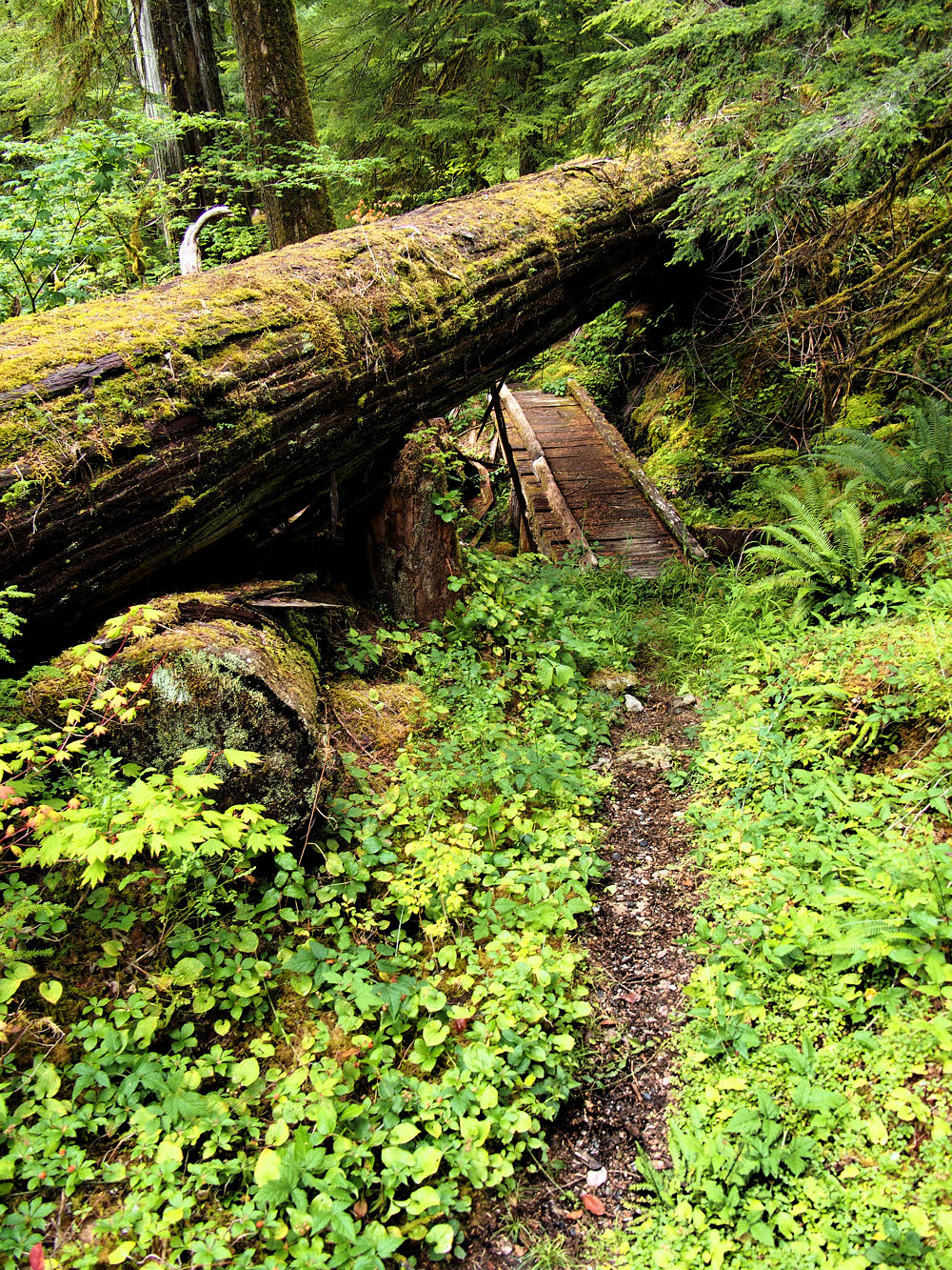
In fact, the last time through here, I had had to crawl under a fallen tree — it was too thick and smooth to clamber over, and the brush was too thick, both uphill and downhill, for me to do an end run. And it had fallen across a small bridge, leaving just barely enough room under itself and above the bridge for a small person to wiggle through.
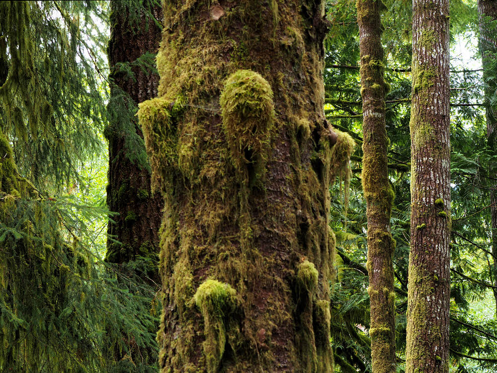
Cedars.
This time, the tree was still there, but it had been cut. Which was nice. It was at least five feet thick, still too high to climb over, but there was enough room to walk now, between the two halves of the tree, though the little bridge was almost invisible in a furry coat of moss.
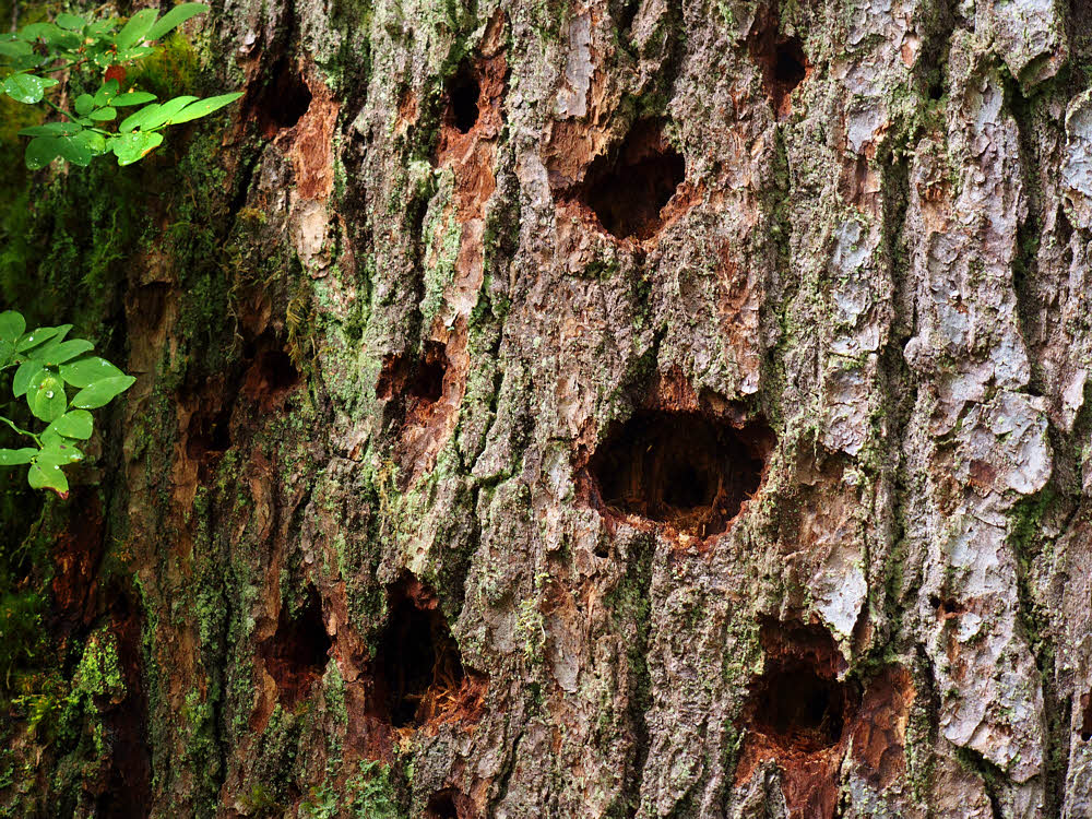
Evidence of peckers at work.
So this trip, at least this part of it, was a little easier.
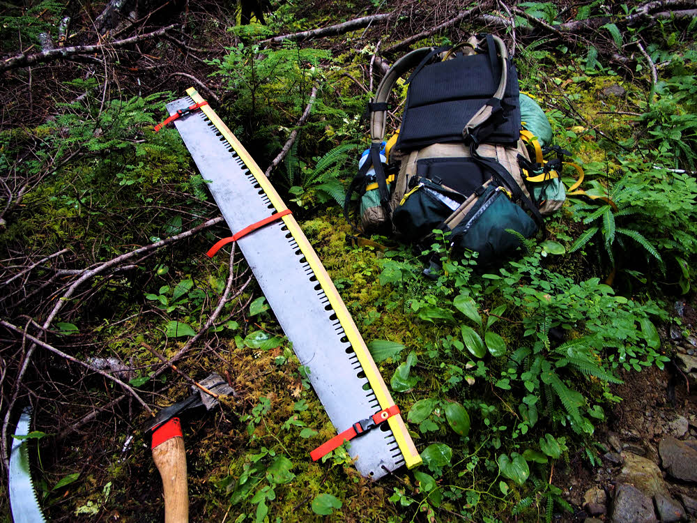
And then there were tools — serious tools.
I didn't hear a thing. I did see tools. There was someone else here, and they were at work.
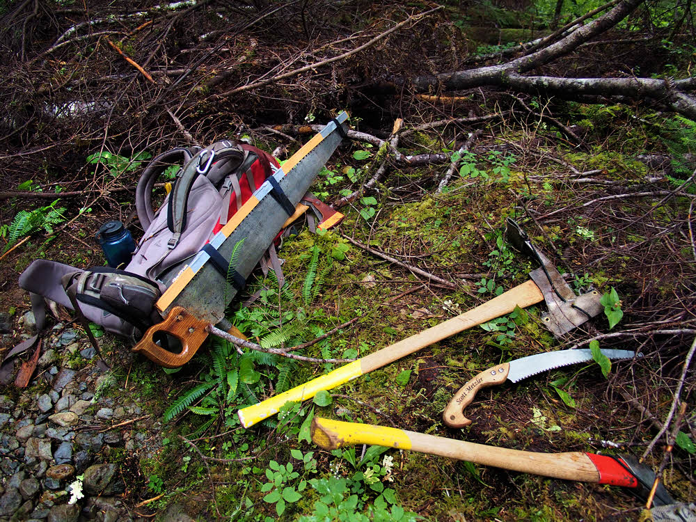
Quiet tools, at rest.
It was a volunteer crew from the Washington Trails Association. There were at least six of them. I didn't get any photos because I'm skittish about that. I don't try shoving my camera at someone I don't know. And anyway, the rain began falling about then.
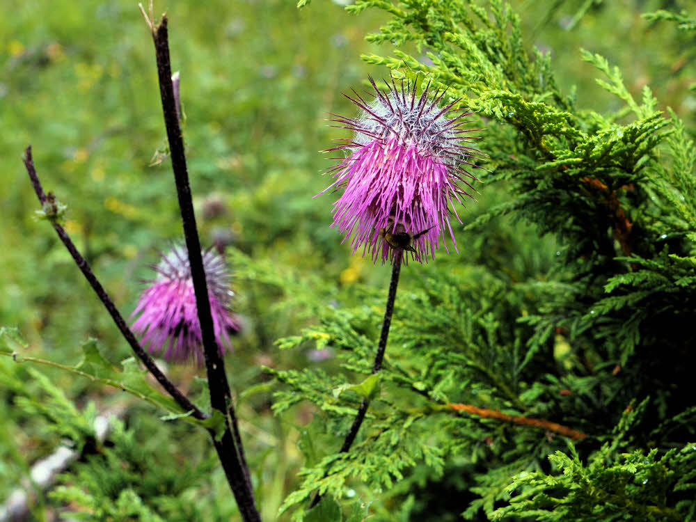
Bee at work.
So let's jump into the middle of the next day. I had a long way to go up the trail after leaving the crew behind, and although the rain stopped after only a little while, the entire landscape was wet. Wet and foggy. It was slow going, and I barely found a campsite by dark. I got my hammock up shortly before the rain began again, and had gotten water, but it was too late to eat, so I just went to bed and listened to the rain all night, dreading the morning.
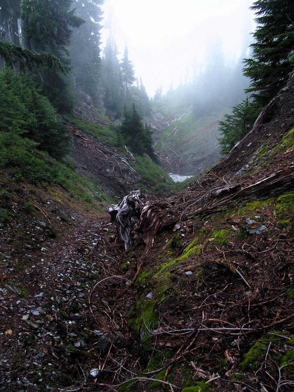
About halfway through day two. Too late to turn back.
Morning did come, and it was gray. But there was no rain falling. I started with GoreTex booties on over dry socks, but brushing along wet shrubbery gathered in hanging water which ran down my legs and soaked my socks anyway. The booties, full of water, provided some protection against blistering.
Yeah, right. Have a nice day there.
I did make it across Six Ridge trail, but only because I'd been up there several times before. It's a route rather than a trail, and when the trail vanished — over and over, which it does — I remembered about where to go, though I still had to hunt a couple of times.
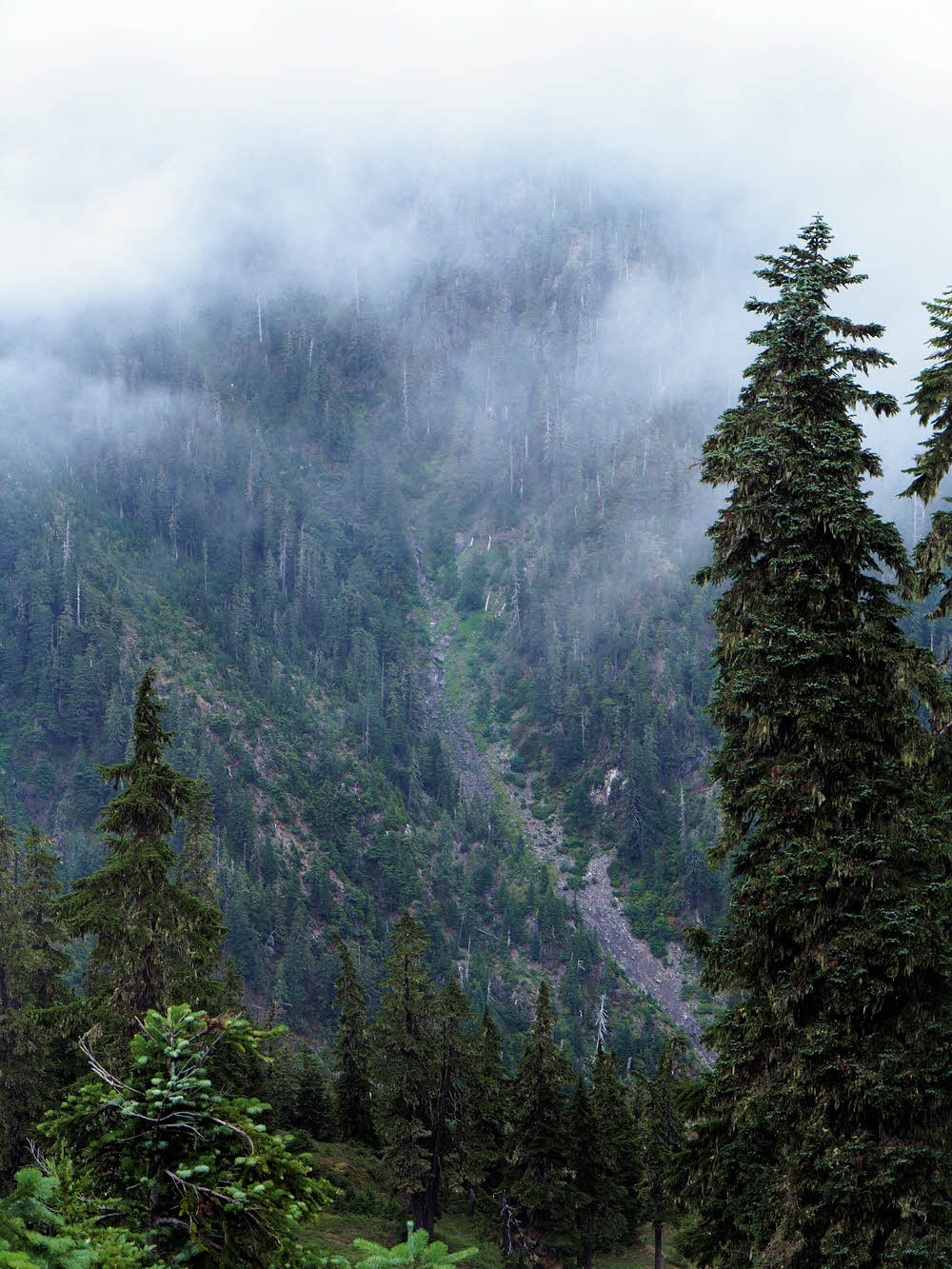
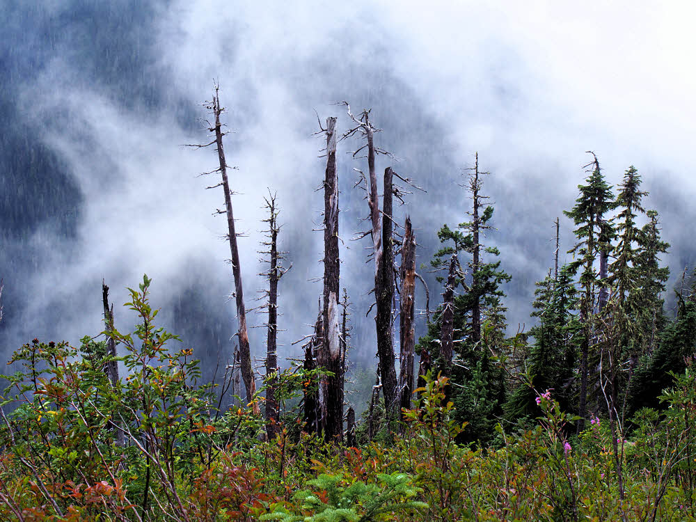
As the day brightened. Right. Some of last year's snow in a pocket.
But surprisingly many people had crossed Six Ridge shortly before me, so there was lots of trampled vegetation, and even some fresh footprints that had turned over wet soil and revealed dry dust beneath it, though I didn't see or hear anyone else that day. I must have been close behind though.
As close to sunshine as I could get.
Eventually I hit the eastern slope and made the crazy-long drop down to the North Fork of the Skokomish River, feet rubbed nearly raw from being wet for a day and a half. I wouldn't have made it that far without the booties, but wasn't sure I'd be able to continue. The ranger station was five and a half miles to the right, and from there, I didn't know how I'd ever make it back to my car.
Go left.
So, on the morning of the third day, I went left, along my planned route, and hoped, but decided to cut the trip short by skipping the strenuous La Crosse Pass, and Anderson Glacier. If more rain had fallen, I'd have had to crawl my way out. Not good.
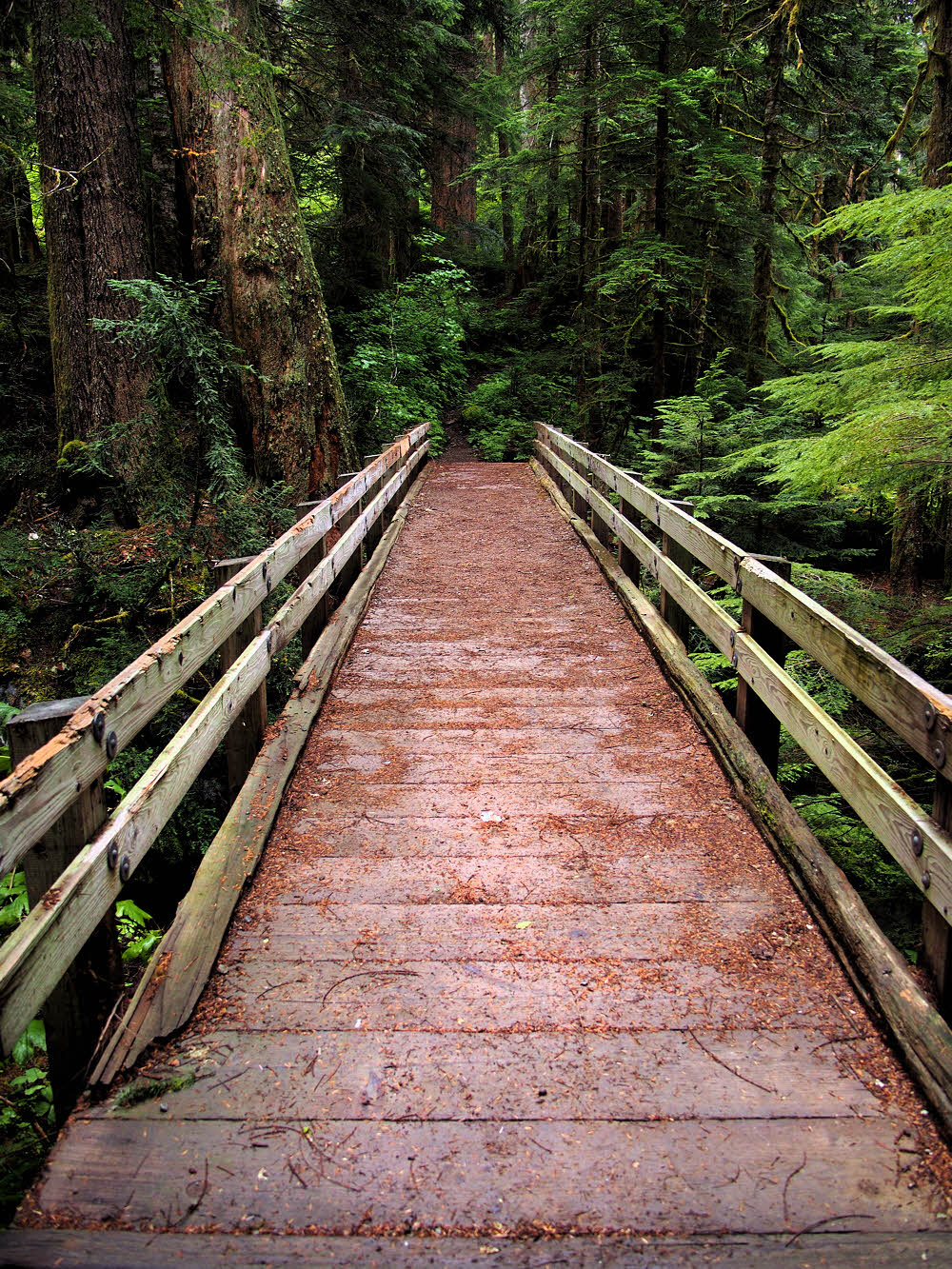
Walk this way — bridge over the Skokomish River
Luckily, day three was dry, though threatening. The weekend had been promised to be dry and sunny, but the sky was not in the mood. I kept hoping for good weather but it was clouds all day. So I camped a third night and hoped some more.
For the next installment, go here.