Friday, December 31, 2010

Boundary Trail 2

So the first day of this trip was about one day's worth of hiking, plus several desperate hours more, to find a place out of the cold wind. I'd planned to tank up on water at Badger Lake and then noodle along until I found a cozy place to hang by my feet for the night, but things never go that way, so I kept hiking faster and faster as the day got darker and darker, colder and colder.

Boundary Trail 2

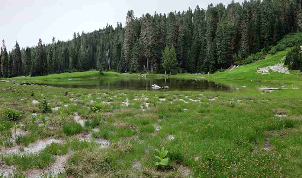
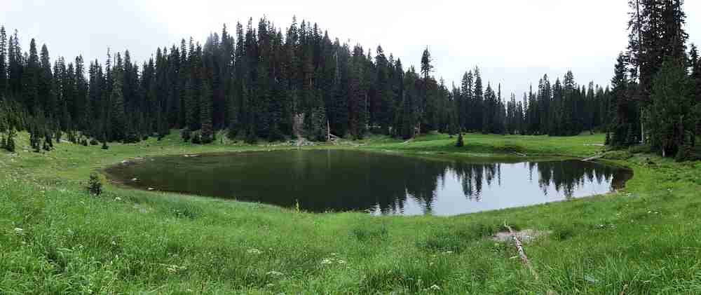
Another view of the pleasant but shallow Badger Lake.

It started fine. Sun. Calm winds. (I like that phrase. Calm winds. Like winds but not. Power completely benign and under control. But still there, waiting to get loose.)

Boundary Trail 2

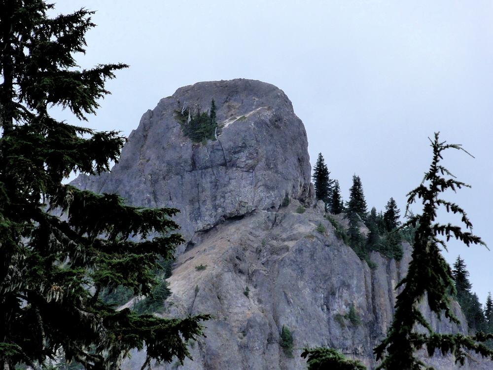
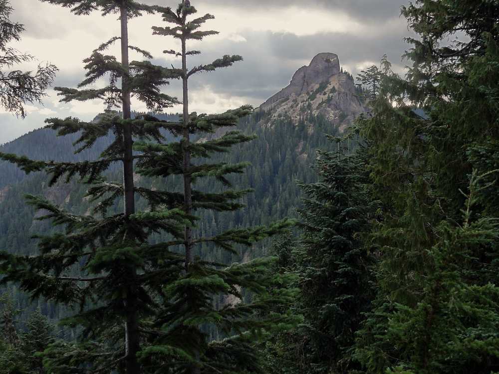
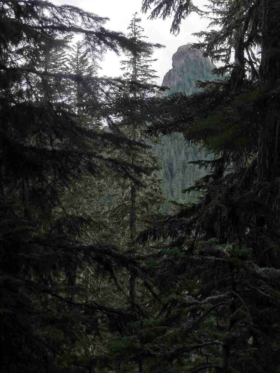
Kirk Rock, a little farther on, from the west.

Well, you know. How it goes, is, first, some clouds. You figure two, three hours before they slowly slide in and even so it's only gradual, and you expect them to thin out and evaporate as they infiltrate they sky, returning you to sunshine. Given that, it's no surprise that my clouds were on me 20 minutes after I estimated that I had at least two hours. And they kept getting thicker, and didn't seem interested in moving along and letting the sun have a chance for a change.

Boundary Trail 2

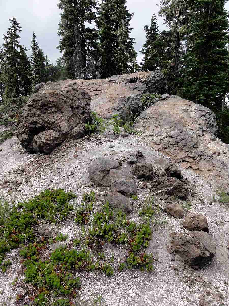
In the north armpit of Kirk Rock.

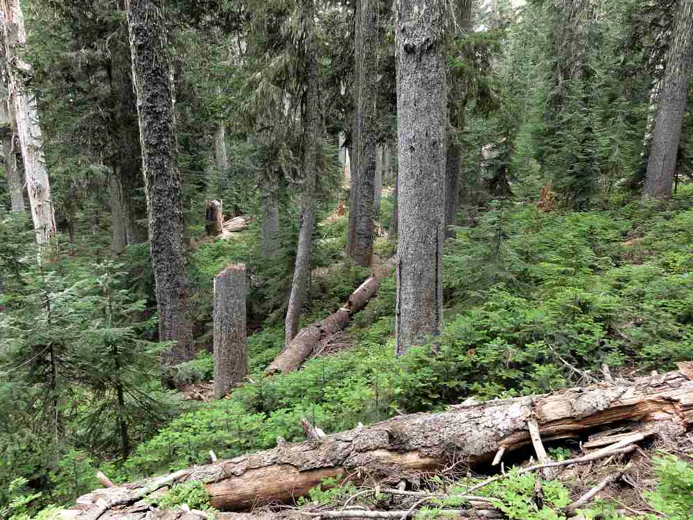
Which is why I did a lot of walking that first day. You walk out of the St. Helens Monument area, cross Road 25, and enter a quieter forest, with two water sources if you're lucky. There is a trickle a couple of miles in, and then Badger Lake, which seems like a good place to camp until you get there. Somehow it always seems to be cold and breezy, and not far enough in besides.

Boundary Trail 2

Ditto.

And beyond it there isn't either any level ground to speak of, if you sleep right down there on it, or any really sheltered place to hang from your hind claws. Or, um, I mean put up your hammock for the night. So that day was a long one, until finally I hit a low spot where the trail, after passing Kirk Rock, Shark Rock, and Craggy Peak, takes a turn north and down toward Yellow Jacket Pass.

Boundary Trail 2

Meadow to the north between Kirk Rock and Shark Rock.

And it so happened that at the low point I saw a flat down below, through the forest, and headed for it as the light faded. By then the day had settled into a permanent chill, under a permanently white sky, with a persistent cold westerly breeze. Dropping off the trail to the east and descending I got to the edge of a fen where there was almost no wind, and found a couple of pools where a person could get water if needed.

Boundary Trail 2

Kirk Rock from the northeast.

Water is the limiting feature in this area, so locating a source of any kind is reassuring.

Boundary Trail 2

Jumbo Peak two valleys away to the northeast.

I set up camp, ate supper in the dark, and hoped for nicer weather on the second day.

Boundary Trail 2

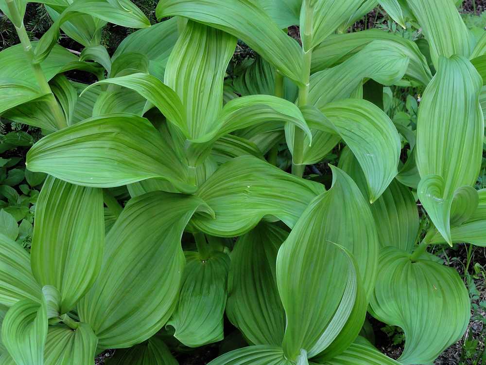
Corn lily.

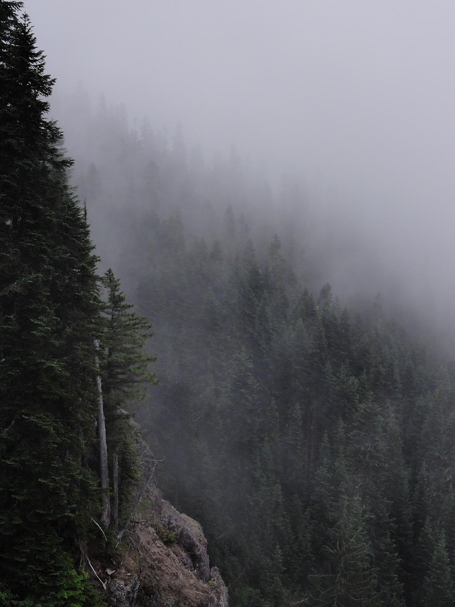
Instead I got cold fog.

Pretty, but cold.

Boundary Trail 2

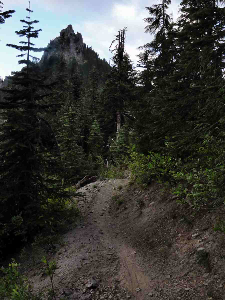
Kirk Rock from just past Shark Rock.

This was at the end of August, shortly after the snow had melted out enough to expose the trails. August is normally hot. Around here that means at least pleasantly comfy, and sometimes genuinely hot and dry, but not this year. August was barely warm, and there was still snow here and there, in places where it would normally be gone by the middle of June.

Boundary Trail 2

View southwest just past Shark Rock.

But it was good to be out. I had a nice, long, first day's hike, including my usual desperate sprint toward evening, and found a good place to camp.

Boundary Trail 2

Top of Shark Rock. Up close you can't really see the fin.

The next day I climbed up the other side of the pass and descended again, into the heart of the Dark Divide.

Boundary Trail 2

Summer in Western Washington.

Boundary Trail 2

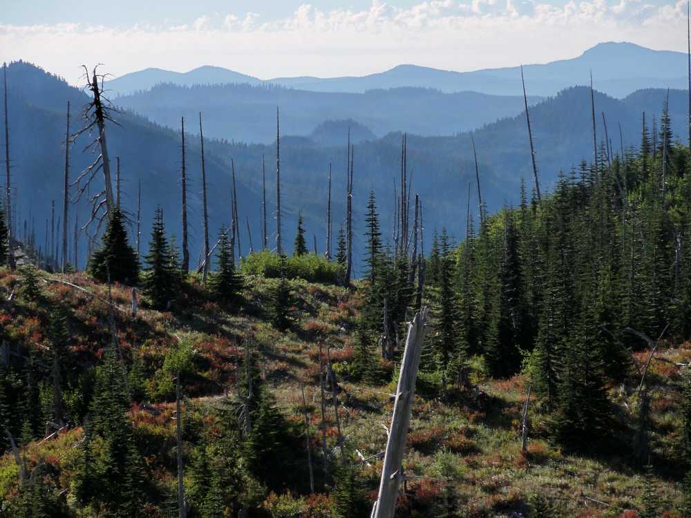
There are spine tingling views here when it's clear.

Boundary Trail 2

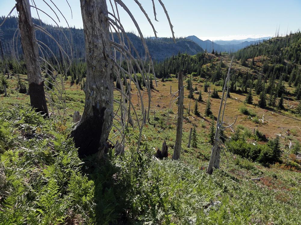
Close to the area where I spent the night. No rain though.

Boundary Trail 2

Early on day two. Mostly down from the high country.

Boundary Trail 2

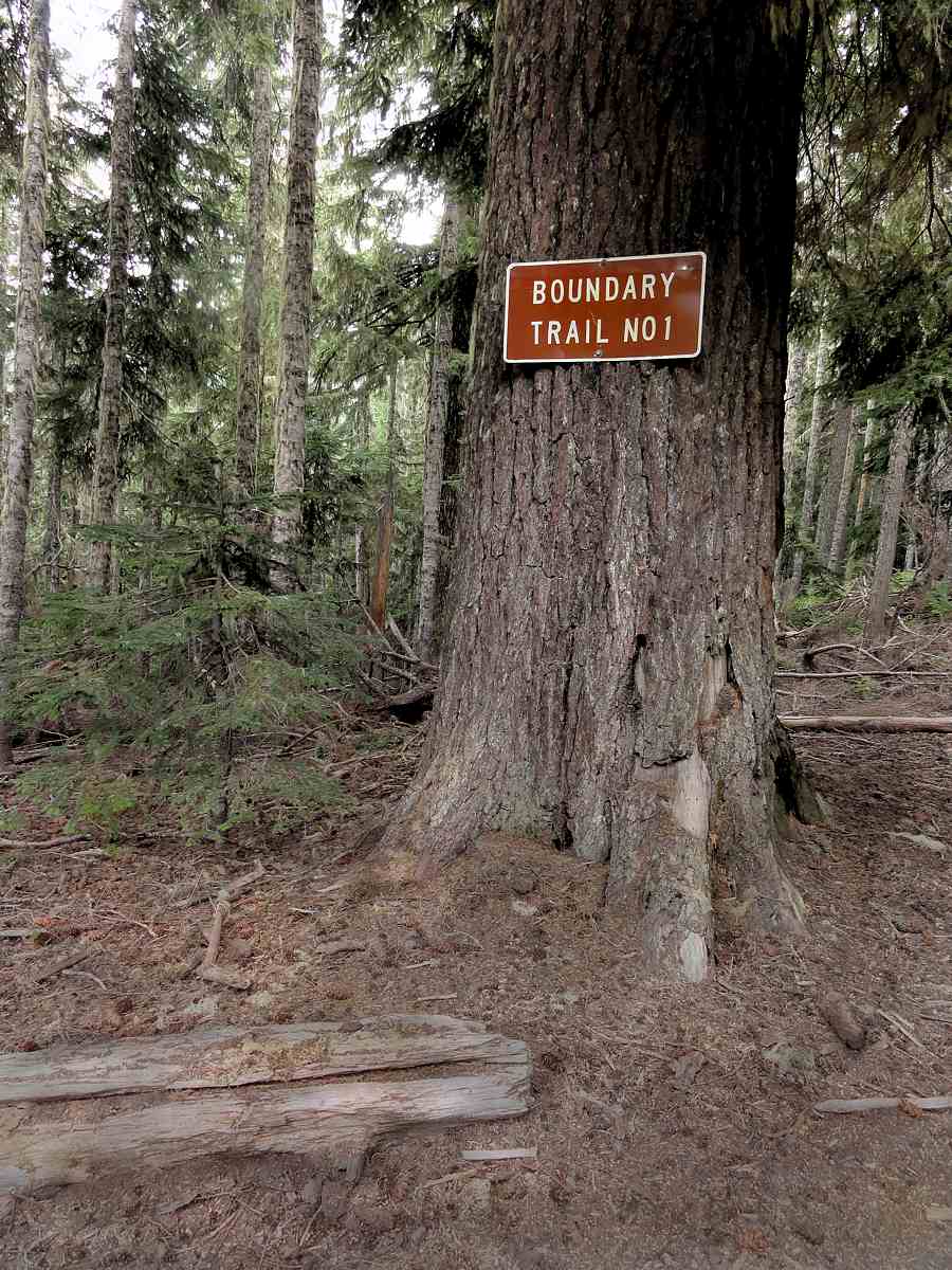
Near a road access point where the trail splits.

The place with the big tree with the big sign on it is where you get a flat spot to stop and rest, and think about things. You can continue east and up, toward Dark Mountain, go north to link up to the gravel road that comes in from that side, or head down a decommissioned road and a hidden trail to Quartz Creek, which is what I did. Day two turned out to be more desperate living (typical). I'll get to that next time.


More:
The first post in this series.
Boundary Trail #1, as the Forest Service sees it.
Washington, 1895, from Rand McNally


See tabs at the top for definitions and books.
Have extra info to add?
If the commenting system is out again, then email sosayseff@nullabigmail.com
Me? Probably could be worse.
Wednesday, December 15, 2010

Boundary Trail 1

An edgewise experience.

Boundary Trail 1

The start, at the Norway Pass Official Parking Lot.

So then, this was going to be my big backpacking year.

Another big backpacking year.

Well, for me.

But it futzled. Or I did.

Go ahead, blame me. I probably deserve it, but this season was not good for backpacking, no matter whose fault it is. Was. Etc.

Boundary Trail 1

West, toward, in fact, Norway Pass.

Boundary Trail 1

Northwest, toward the northern part of the Monument.

Boundary Trail 1

After 30 years, it's still recovering. Hot too.

First, a dry winter, ending in blizzards. Eh? Get it? Practically no snow all winter, and then we got creamed.

I don't ski so I don't care what happens during the winter as long as it isn't massive, erosional downpours like we had a couple of years back, and as long as it doesn't leave the trails covered meters deep in snow in July.

Boundary Trail 1

The mountain (nameless) south of Bismark Mountain.

Boundary Trail 1

Southeast from the trail.

Boundary Trail 1

Mostly south. Mt. Hood is out there somewhere.

So. No one was listening to me. Again. This is exactly why I do not pray. You know? If it did any good, yes. I'd do it. I'd do anything. I like backpacking. Yay for backpacking. But you can't do it well on snow that's deeper than you are tall, frozen and thawed over again, and turned to ice pellets. Or into solid, personal-sized glaciers. (OK, I was in the supermarket one day and saw a big box of "personal watermelons". That phrase seems to be a glove fit for the abnormal. Let's hear it for marketing.)

Boundary Trail 1

Valley of Clearwater Creek.

Boundary Trail 1

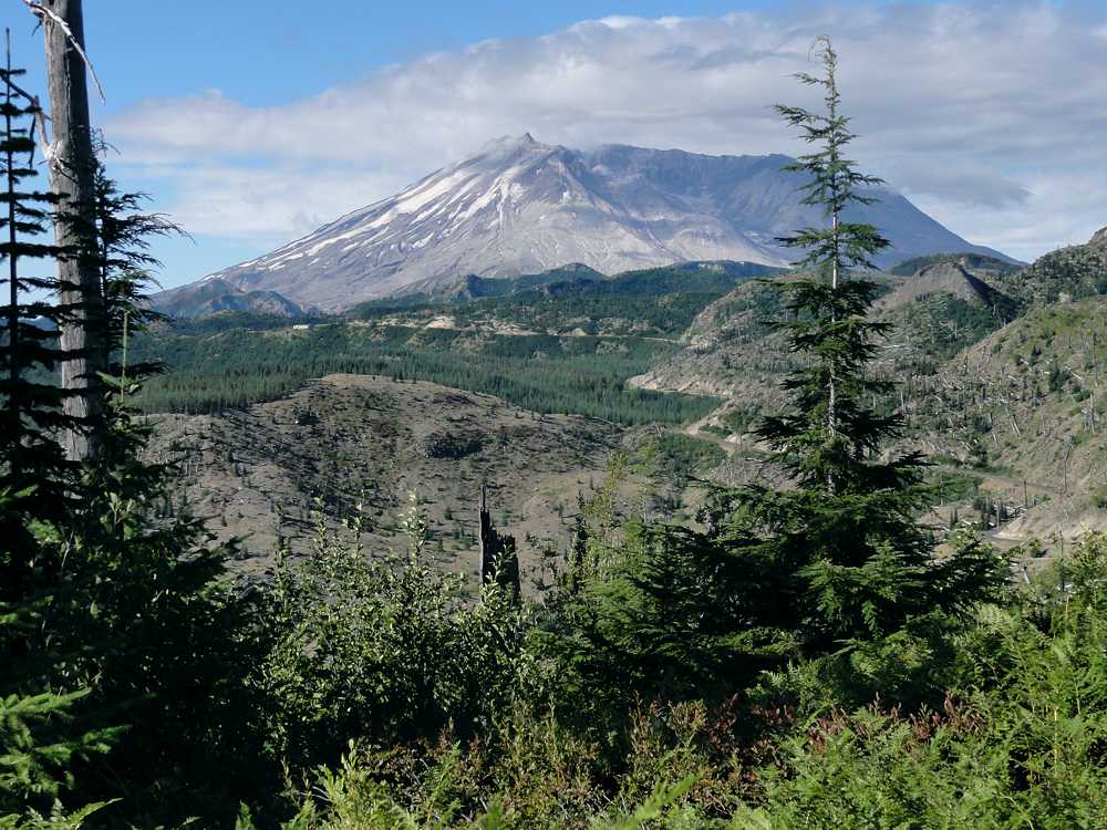
Ah. There's the culprit.

Boundary Trail 1

The culprit. The beast.

Boundary Trail 1

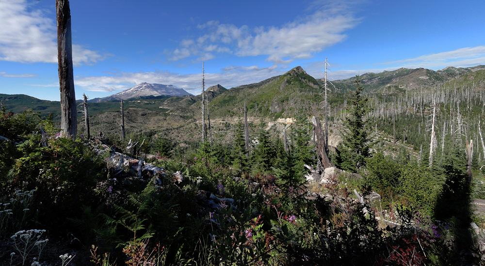
Panoramoranamic view of the beast.

Anyway, another lost backpacking year.

I tried this trail at the end of July, got one day in, and hit snow. Deep snow. Badger Lake ends this first series of photos. I got that far that first day, and the whole basin was snow. The lake was frozen, the deep basin that holds it was snow, the last half mile of trail connecting to it was snow. The whole deal. Poop.

It would be fun to hike along here on top of snow, except. Like, suicide, OK? Because after Badger Lake you get to Kirk Rock, Shark Rock, Craggy Peak, and Snagtooth Mountain, all fun. But with the trail on their north sides, on a near-vertical slope, you know? Frozen, frozen, frozen, and a trip straight down to death for any hiker.

Boundary Trail 1

Odd. Very odd. Looks like the bottom of a one liter bottle.

Boundary Trail 1

Trees and such. Typical and such.

Boundary Trail 1

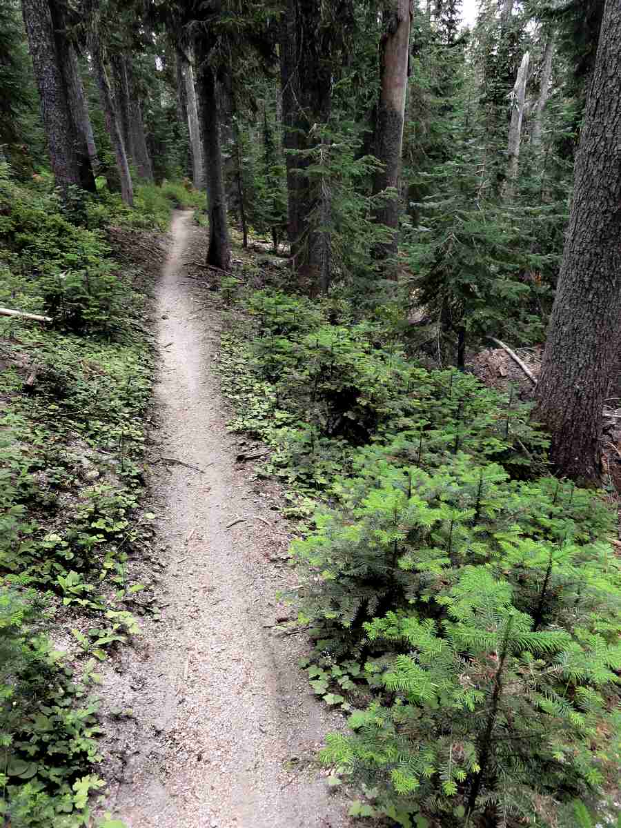
Trail. Clever invention!

That was summer.

I went back at the end of August and hiked most of the Boundary Trail (look up the definition already). No snow. Chilly though. The last two days the temps were around 45 F (7 C), with motorcycles. Somehow I totally managed not to photograph any of the dirt bike riders, but we'll see if the other photos are any good. I'll turn this into a multi-week post, starting with now, the first half-day of the trip, from Norway Pass to Badger Lake.

Norway Pass is within the Mount St. Helens National Volcanic Monument, etc. Badger Lake is east of there. Water is scarce. The lake is approximately the only reliable water source along a 10 to 15 mile (16 - 25 km) stretch. Though I accidentally found some secret sources this year.

So let's go.

Boundary Trail 1

Washington State arboreal alligator.

Boundary Trail 1

The one, the only: Badger Lake.


More:
Boundary Trail #1


See tabs at the top for definitions and books.
Have extra info to add?
If the commenting system is out again, then email sosayseff@nullabigmail.com
Me? Recently nominated for this year's Doofus Awards. (Next year's too.)

Monday, December 13, 2010

Self-Propelled Visitor

Self-Propelled Visitor

My window continues to work magic tricks.

At odd times, unannounced, you can find raccoons, bunnies, squirrels, opossums (from the Powhatan "apasum", or "white animal"), and various cheepie things coming around to hang out beneath it.

Now this.

Best guess: an immature herring gull.

First, standing in place. Later sitting. I expected my third trip to the window to find it dead on the grass but it waan't there 'tall.

Feeding: Eats mussels, clams, fish, rodents, insects, young of other gulls, garbage. Steals from other birds.

Voice: Long call is like "ow ow ow keekeekee kyow kyow kyow". Alarm call is "ga ga ga ga".

Habitat: Coasts, lakes, rivers, fields, dumps.

Next up, I hope, is Stefani Joanne Angelina Germanotta and her gastropod dress, which would likely draw more garbage eaters.

Ga ga ga ga! I can handle it. The camera is locked and loaded.

I'd like to see her on the lawn eating worms after a rain, but that may be too much to hope for.

(Notes from "Field Guide to Birds", by Donald & Lillian Stokes.)


See tabs at the top for definitions and books.
Have extra info to add?
If the commenting system is out again, then email sosayseff@nullabigmail.com
Me? Recently nominated for this year's Doofus Awards. (Next year's too.)