An edgewise experience.

The start, at the Norway Pass Official Parking Lot.
So then, this was going to be my big backpacking year.
Another big backpacking year.
Well, for me.
But it futzled. Or I did.
Go ahead, blame me. I probably deserve it, but this season was not good for backpacking, no matter whose fault it is. Was. Etc.

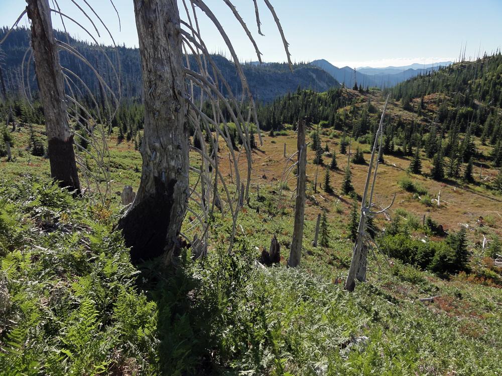
West, toward, in fact, Norway Pass.

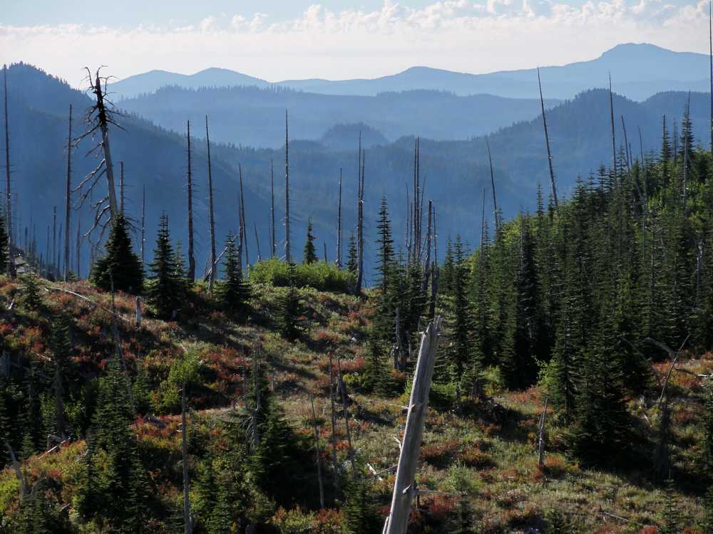
Northwest, toward the northern part of the Monument.

After 30 years, it's still recovering. Hot too.
First, a dry winter, ending in blizzards. Eh? Get it? Practically no snow all winter, and then we got creamed.
I don't ski so I don't care what happens during the winter as long as it isn't massive, erosional downpours like we had a couple of years back, and as long as it doesn't leave the trails covered meters deep in snow in July.

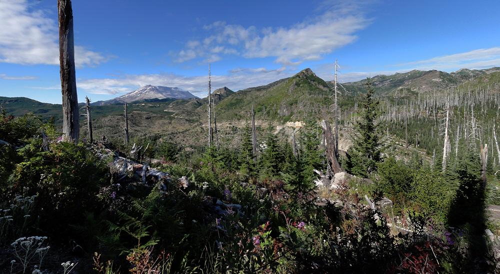
The mountain (nameless) south of Bismark Mountain.
Southeast from the trail.
Mostly south. Mt. Hood is out there somewhere.
So. No one was listening to me. Again. This is exactly why I do not pray. You know? If it did any good, yes. I'd do it. I'd do anything. I like backpacking. Yay for backpacking. But you can't do it well on snow that's deeper than you are tall, frozen and thawed over again, and turned to ice pellets. Or into solid, personal-sized glaciers. (OK, I was in the supermarket one day and saw a big box of "personal watermelons". That phrase seems to be a glove fit for the abnormal. Let's hear it for marketing.)

Valley of Clearwater Creek.

Ah. There's the culprit.
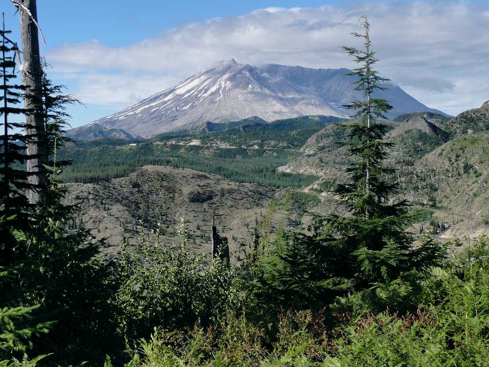
The culprit. The beast.
Panoramoranamic view of the beast.
Anyway, another lost backpacking year.
I tried this trail at the end of July, got one day in, and hit snow. Deep snow. Badger Lake ends this first series of photos. I got that far that first day, and the whole basin was snow. The lake was frozen, the deep basin that holds it was snow, the last half mile of trail connecting to it was snow. The whole deal. Poop.
It would be fun to hike along here on top of snow, except. Like, suicide, OK? Because after Badger Lake you get to Kirk Rock, Shark Rock, Craggy Peak, and Snagtooth Mountain, all fun. But with the trail on their north sides, on a near-vertical slope, you know? Frozen, frozen, frozen, and a trip straight down to death for any hiker.

Odd. Very odd. Looks like the bottom of a one liter bottle.
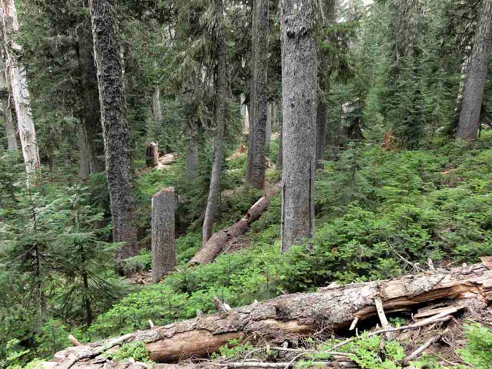
Trees and such. Typical and such.
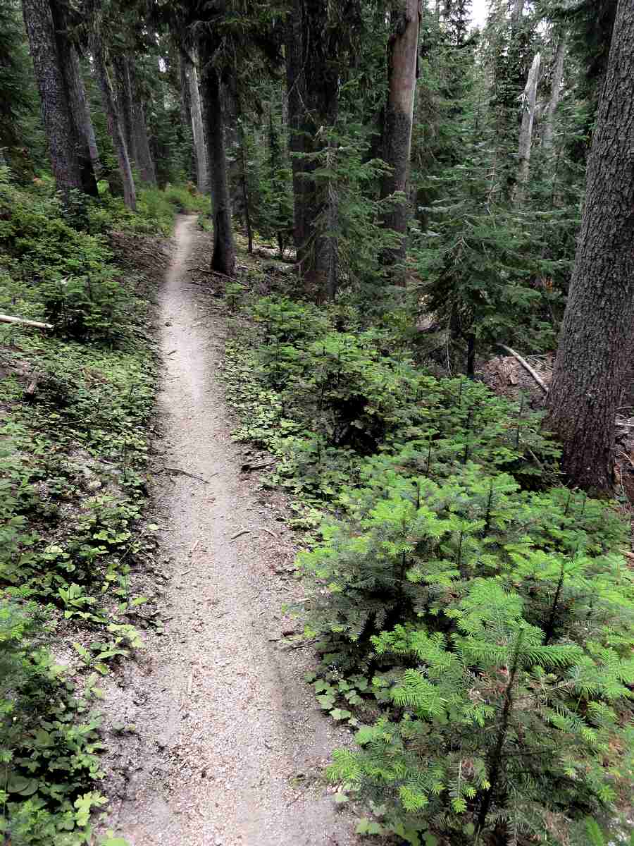
Trail. Clever invention!
That was summer.
I went back at the end of August and hiked most of the Boundary Trail (look up the definition already). No snow. Chilly though. The last two days the temps were around 45 F (7 C), with motorcycles. Somehow I totally managed not to photograph any of the dirt bike riders, but we'll see if the other photos are any good. I'll turn this into a multi-week post, starting with now, the first half-day of the trip, from Norway Pass to Badger Lake.
Norway Pass is within the Mount St. Helens National Volcanic Monument, etc. Badger Lake is east of there. Water is scarce. The lake is approximately the only reliable water source along a 10 to 15 mile (16 - 25 km) stretch. Though I accidentally found some secret sources this year.
So let's go.

Washington State arboreal alligator.
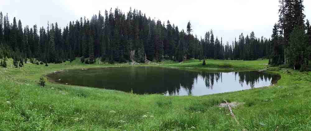
The one, the only: Badger Lake.
More:
Boundary Trail #1
See tabs at the top for definitions and books.
Have extra info to add?
If the commenting system is out again, then email sosayseff@gmail.com
Me? Recently nominated for this year's Doofus Awards. (Next year's too.)