Wednesday, April 29, 2015

10 Essential Myths — Navigation

Myth #1: Navigation

You may have heard of the 10 Essentials, but how often have you used them? No, seriously — in the shower, at work, while you take a nap with the cat? Ever?

Get the drift here? essential is the key word, and if you don't need something to survive, then how essential is it, really?

Personally, I've whittled my list down to three items: beer, cigarettes, and cookies. But I don't smoke any more, so that leaves more room in my pack for beer (on hot days) or cookies (like in the winter when I need more vitamin C). In case you were wondering why I'd need more vitamin C in the winter, I mean C as in chocolate. Screw that other stuff that you get from orange juice. I consider it just another industrial chemical.

So WTF as all the kool kidz say — where are we going with this?

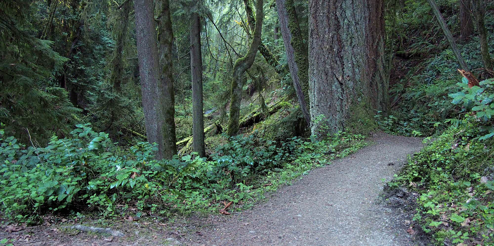
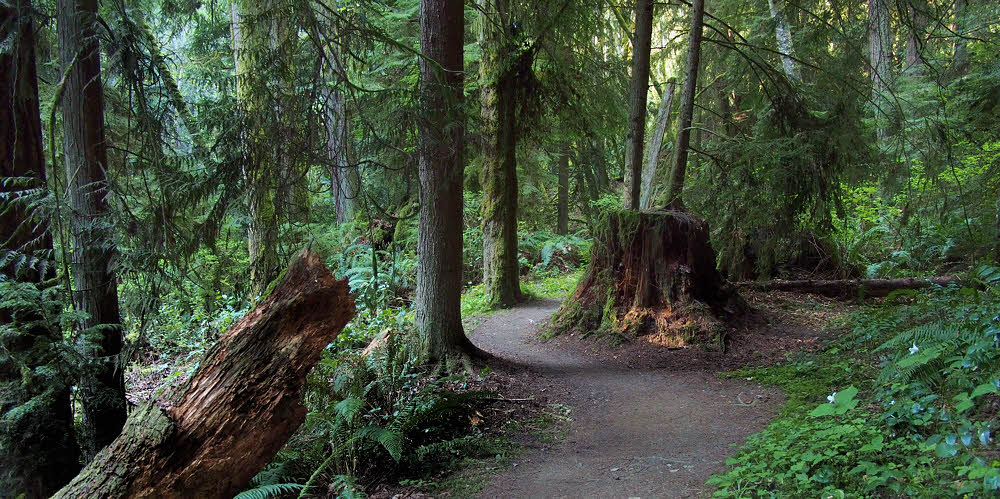
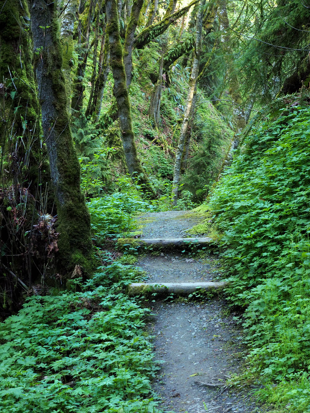
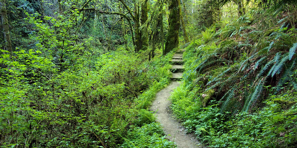
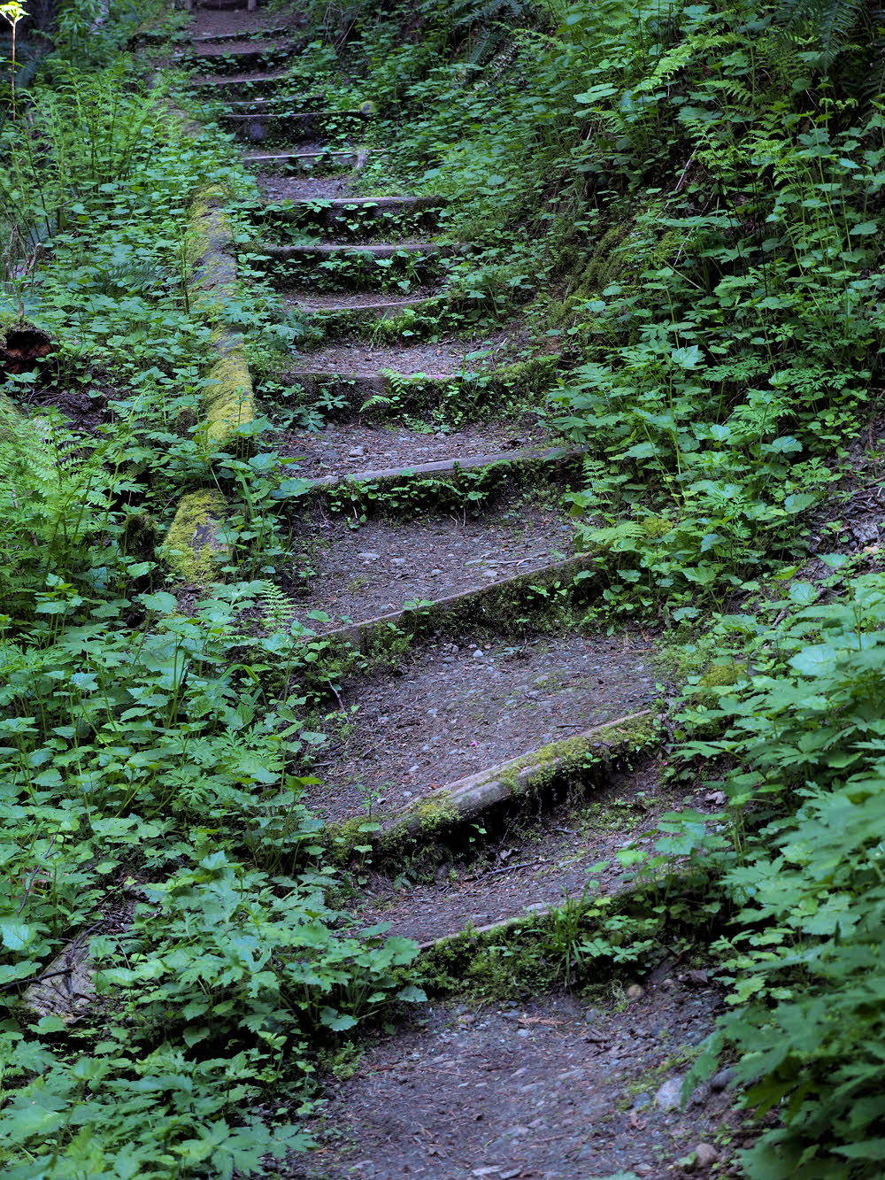
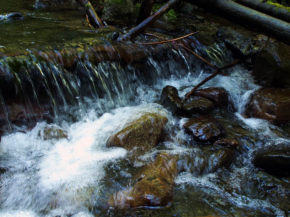
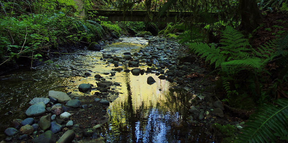
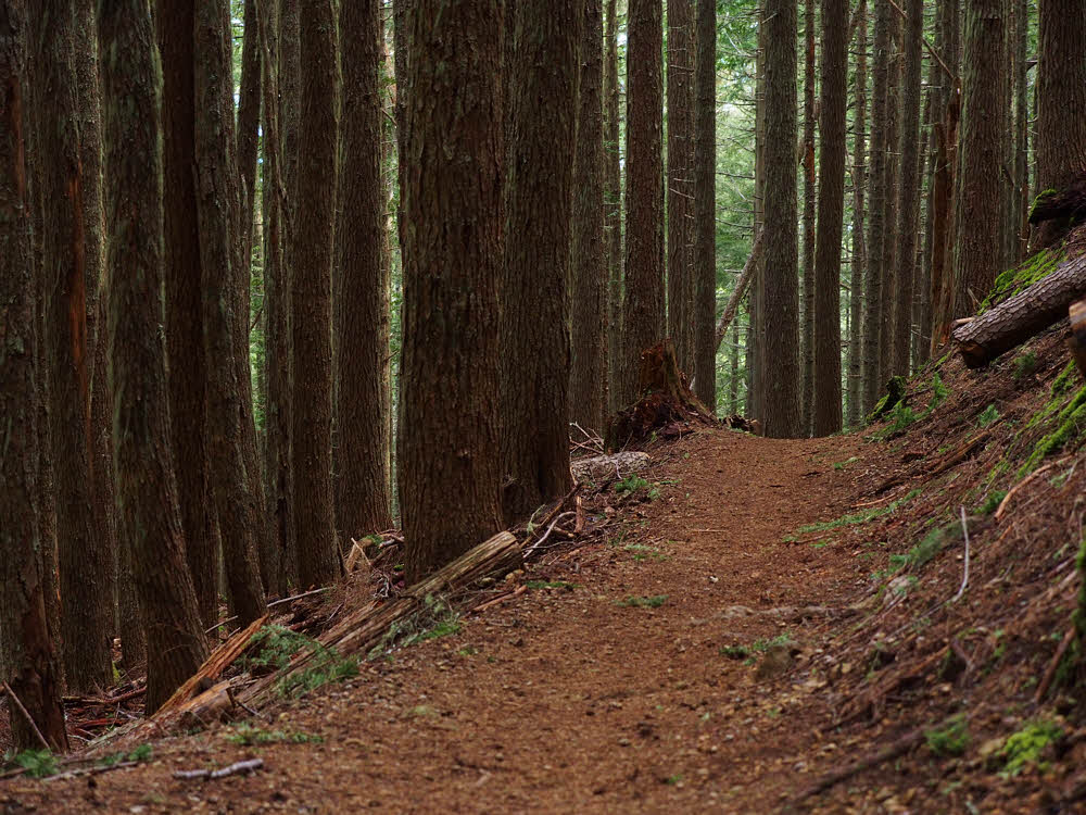
Hiking, Dick. Hiking. And when you go hiking you can leave out lots of stuff. It's the quickest way to ultralightness ever.

Number One on our list of things to scrutinize is Navigation. And the rule is...don't sweat it. It's cool. No matter where you go, there you are, so it's only a head game you play with yourself if you start getting into that whole goal-oriented uptight location crap.

If you don't have some krypto-fascist plan on getting somewhere, then you can mellow out, and hiking actually gets close to being fun.

Let's be mellow then.

The Classic 10 Essentials List has a Map as number one. The New Age essentials list (which contains 10 or 13 items, or maybe some random number out to 11 decimal places) takes what is known as a systems approach and says that Navigation is what you want. Instead of just a Map.

'K then. Want to navigate away?

If so, you'll need a topographic map, and some other "assorted" maps, and a waterproof container to put them in, and a magnetic compass, and an (optional) altimeter and/or GPS receiver.

All so very fine, until you say again — WTF?

When I started backpacking I could get a dandy paper map for about $2.50, which was a lot of money. I thought. Then. I think it's six bucks these days.

And now, if six bucks wasn't bad enough, we're looking at a Garmin Monterra GPS for $650 green ones. Granted, it has "a brilliant 4 in. screen, 8-megapixel camera and wireless Android compatibility", and supposedly "delivers state-of-the-art navigation alongside all your favorite Android apps from Google Play", but what's wrong with a paper map and some after-supper masturbation instead of whatever pale imitation of fun that Google Play offers?

I mean, hey. The analog life was fine, so what changed then?

I'm still analog. I still have analog needs. I can amuse myself for hours by watching clouds, and if it's a clear evening with no clouds, then swatting flies and mosquitoes is more than enough to occupy me. I don't need no stinkin' Androids lurking in the background.

But maybe you think you do. Maybe.

But maybe you're a dope.

What used to be a map and a rough-hewn ability to figure out which way was approximately north is now a system. You got

  • Map.
  • Compass.
  • Wrist altimeter.
  • GPS thing.
  • Calculations.
  • Need for wads of cash.
  • Fear of doing some thinking.

How much of this is essential? Really? Really essential?

Probably color vision couldn't hurt. I got a problem there. Those Forest Service maps with the thin red line showing the trail send me into map-shredding frenzies because I can't see the damn line. And I lived despite all that, so screw altimeters and GPS, whatever the hell that's supposed to be, and Androids, and even maps.

You got any brains at all, you know about where you are and which way is home. Got doubt nibbling at your nuts, go suck a thumb. Then stick it up in the air and that'll tell you which way the wind is blowing, if you need to know that.

Then walk.

You'll either get where you're going or not. Either is fine.

No one but you really cares anyway.

Wednesday, April 22, 2015

Peabody Creek

Intruders.

Down by the visitor center there's more traffic. To the south, if you get there early enough, there is no one.

All quiet to the south.


Big trees, leaves, moss, and you — that's it.


Early morning glow on a cedar.


Some alders get it too.


Inviting, well-maintained, and, today — dry.


It's nice that spring has come and brought back the green.


The creek itself is shallow, slow, and clean.


Devil's club — always prickly.


A blue trillium.


And a white one.


Closer-up.


Emerging from the green.


An almost-hidden shelf fungus.


Dry last-season leftovers.


Slightly damper trail.


Some of the undergrowth, taking over for the summer.


Remnant of an old burn.


Salal and sun. Green the year round.


A happy spring.


A tiny trailside presence.


One of Peabody's minor, plashy falls.


A rocky flat reach at one of the bridges.


The sun begins to intrude.


Kissing the creek.


Creative destruction.


Back where we started.

This trail begins right behind (to the west of) Olympic National Park's visitor center at Mount Angeles Road and Park Avenue. The full length is officially 2.7 miles (4.4 km), plus a bit. It runs roughly north and south along Peabody Creek and would be more fun if. If it was a loop trail and especially if it ran all the way south to the park's entrance station near Dawn Lake about five miles to the south. But it ain't bad as-is.

Wednesday, April 15, 2015

Proper Poo Paper Placement

According to me.

Step one: find a soft spot.

I've been places where personal paperwork has to be carried out. Mostly the rules aren't that strict, although you can argue that they should be, everywhere.

Step 2: Get a grip on the important stuff.

The most annoying place I've been was the Goat Rocks Wilderness in south-central Washington State. Backpacker magazine had a writeup about a particular location there a couple of years back. It drew millions.

Step 3: When done, assess the situation.

You may be familiar with the phenomenon — most of those people are awed. They're out there in the wilderness and all, and it's wild and no one has ever been there before so they're explorers too, and it's handy that there happens to be a trail exactly there, since it's totally unexplored. Wow! What a deal, and so close to Seattle, too. You can practically drive right right into the middle of this just-discovered wilderness.

Step 4: Prepare your paperwork.

So if you — wait, minor correction needed — when you need to drop your pants and do your stuff and clean up, it's OK to leave huge long loops of the telltale paper right out there on the ground like Lewis and Clark did. Because you're the first human ever to be there, and probably it will be centuries before another human finds out how to make the short drive from Seattle (or Tacoma, hey?) and mount an expedition out here.

Step 5: Begin poking.

Right. City people. Loops of TP and piles of unburied crap. We'll get to the glistening butt sausages later sometime. For now, here's a description of my TP technique.

Step 6: Push gently and firmly.

First, I use heavy-duty paper towels. I cut each sheet into four pieces. I carry those pieces in a quart-sized zip-lock bag.

Step 7: Continue, eh?

Paper towels are sturdy. These sheets don't break or tear, and resist raindrops a whole bunch better than "bathroom tissue". Especially if used with some smarts. Like first folding each quarter-sheet in half, using it carefully, then folding the partly-soiled sheet in half again. And, depending on what's happening that day, folding the result in half yet again. No matter what, you end up with one to four pieces of hefty paper, neatly folded. Did I say it's tough? Yes I did — this stuff is tough.

Step 8: Shove it as far as you can.

So then, use the tip of one trekking pole to group these tough little wads into a stack, each on top of the others. Since you picked your spot carefully, the ground is soft. In Western Washington you often have a foot or more (30 cm) of forest duff to push into. So push already. Your stack of used paper goes right into the ground, leaving only a small hole to mark the spot. Generally you can get the stuff down at least six inches (15 cm) even if the ground is tough or the forest duff contains lots of twigs and branches, but often you can go deep.

Step 9: Congratulate yourself on your depth.

When done, pull your trekking pole out and use the tip again, to close up the little hole you've got left (no wider than one of your fingers), and that's about it.

Right, you've left some manufactured human-stuff behind, but it won't escape. The wind won't take it. It can't give off odors because it's compressed and compacted almost back to the density of wood. It's out of sight and locked in tight. Come back to that spot later and you won't find it, exactly — "Hmmm, over by this tree, I think, but was it on this side or the other? Or maybe it's that tree over there..."

Any way, the job's done, neatly and completely. Your waste paper won't become part of someone else's vacation.

Now go convince everyone else to do you the same favor.

More.

Five Days Rocking With The Goats

Wednesday, April 8, 2015

April On The Lake Angeles Trail

Chilly but dry and clear.


Everyone passed me.


But I was dawdling with my camera.


A good place to hang a hammock.


Temps almost at freezing, but everything's still green.


More hefty hikers passing me.


A peak into the next valley.


An erratic (during its quiet phase).


Meanwhile, higher up, things are still quiet.


Finally, the lake, still too thick to swim in.


Clearly.


More snow on the far, shaded side.


But on our side, shirtsleeve weather.


Not a good day to swim to the island. Probably.


Some of the last snow of the season.


Some were having quiet conversations.


While rocks enjoyed the sun.


But farther out, it was all ice.


And there were still some interesting patterns in it.


Looking past the island to the far side.


Definitely chillier over there, and farther up.


Why is this rock in three photos? Too late now, I guess.


It's steep, at least by the short route.


Nearer shore, some logs are snoozing deep.


Douglas fir.


The trail above the lake had some light snow. A couple of guys camped up there.


And a few critters flitted around here and there.


From higher up, a look back across the lake from the other side.


Over the top of the ridge, things were well over by Heather Park way.


Though if you're a lichen, life is never glamorous.


I don't know if this is really pillow lava but I'll claim it is.


Zow! Looks dramatic, eh? Mountains are like that.


Trees always look hopeful somehow.


See?


And there's the lake — seems round from down below, but it ain't.


Spooky ice.


On the way back out, I spotted a few elk tracks.


And some happy forest with a pet rock.


And a rough-skinned newt, moving very, very slowly.