Friday, February 23, 2018

Taking The Nose Train

Part 1, The road to the nostrils.

This Devil's Nose trip happened on March 14, 2014. There's no point on sitting on 2.4 GB of unviewed files, so I've finally winnowed them and will be doing three posts: (1) getting there, (2) doing the train trip, and (3) swinging by Ingapirca on the way back to Cuenca.

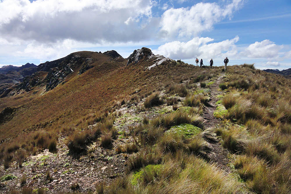
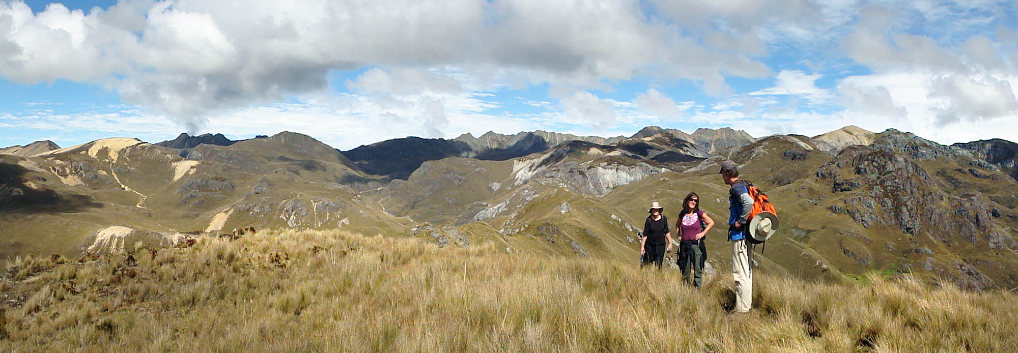
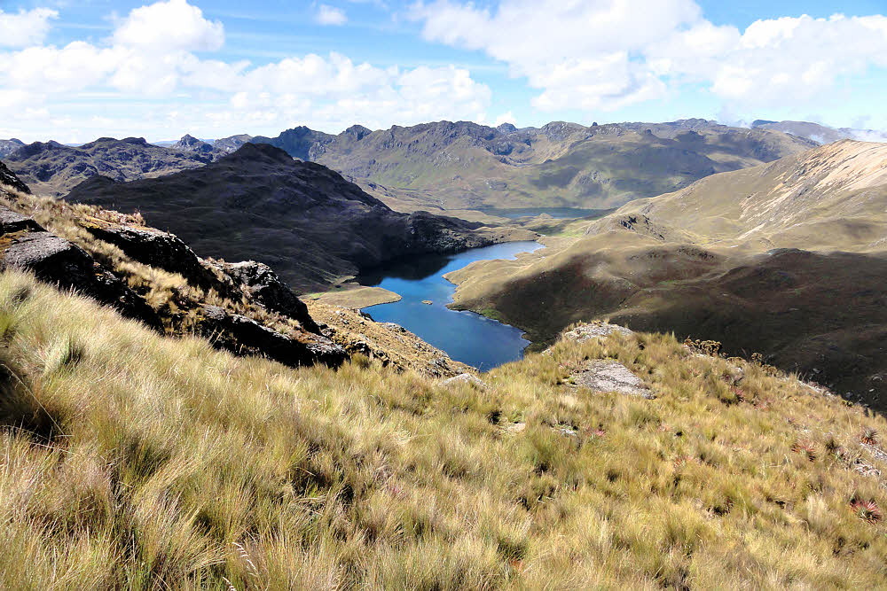
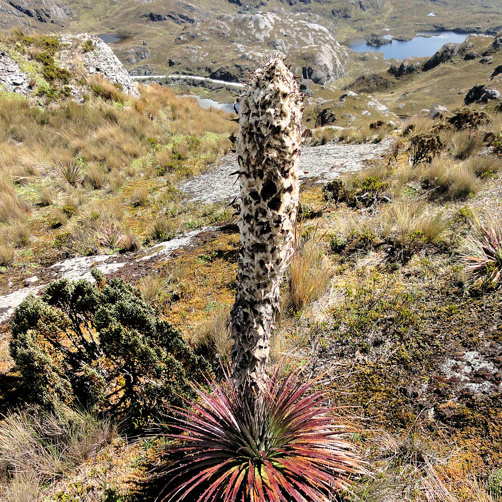
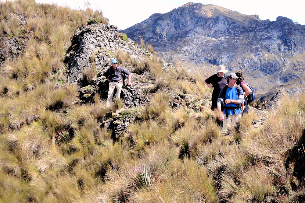
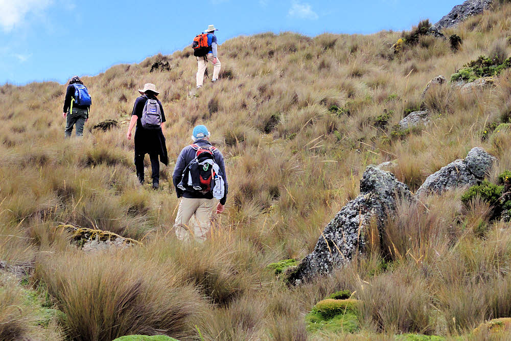
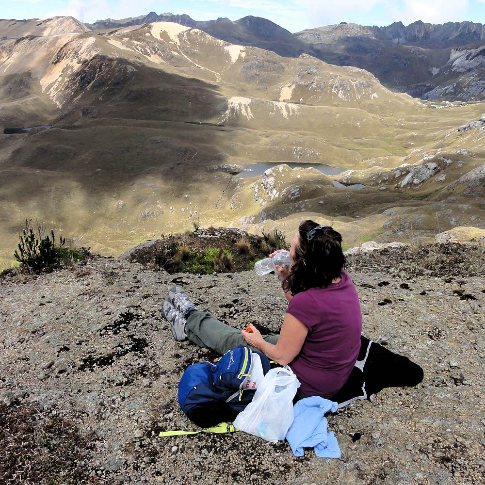
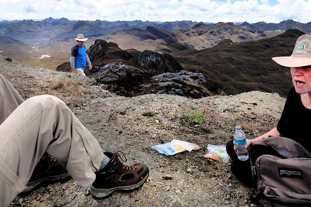
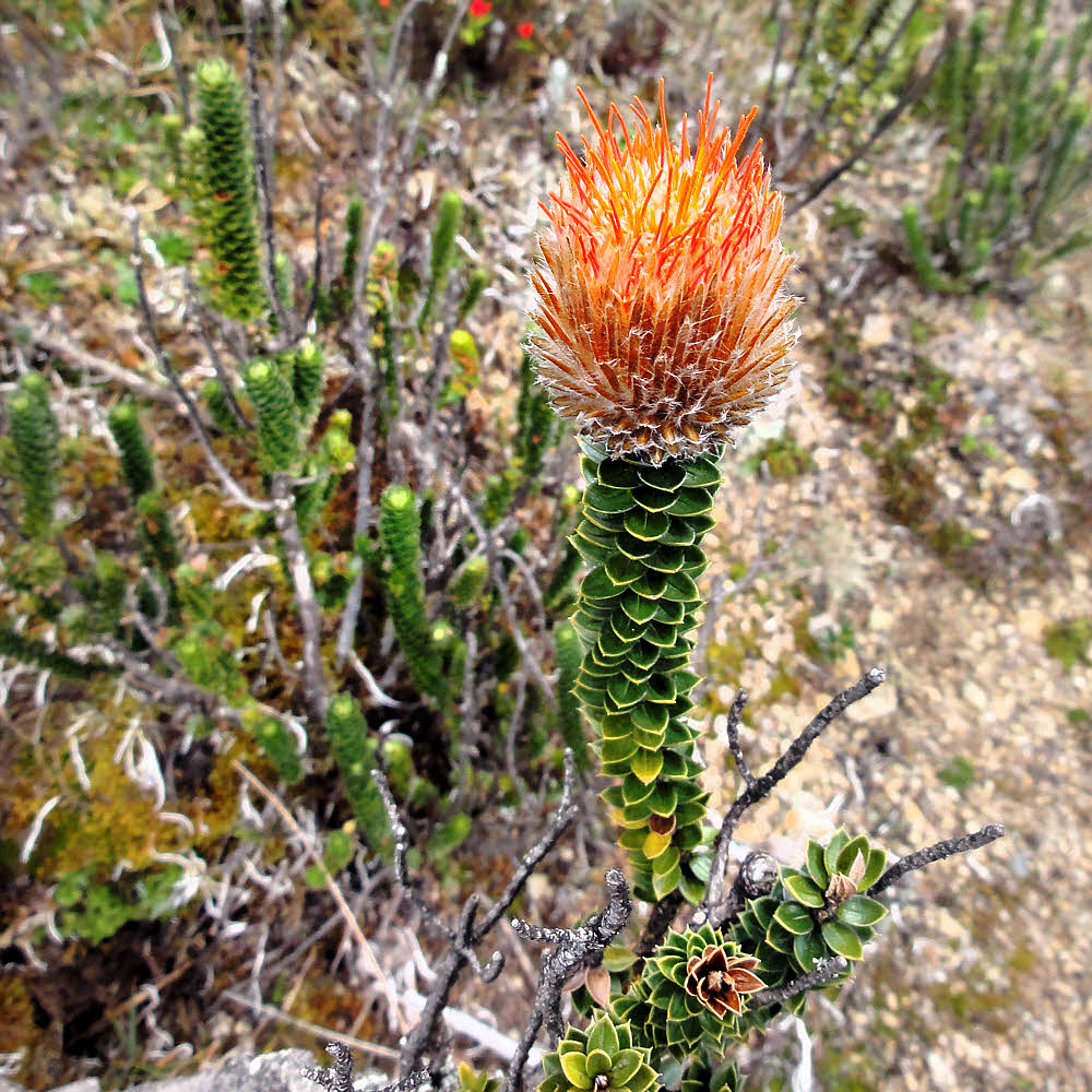
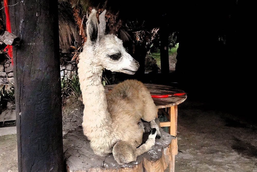
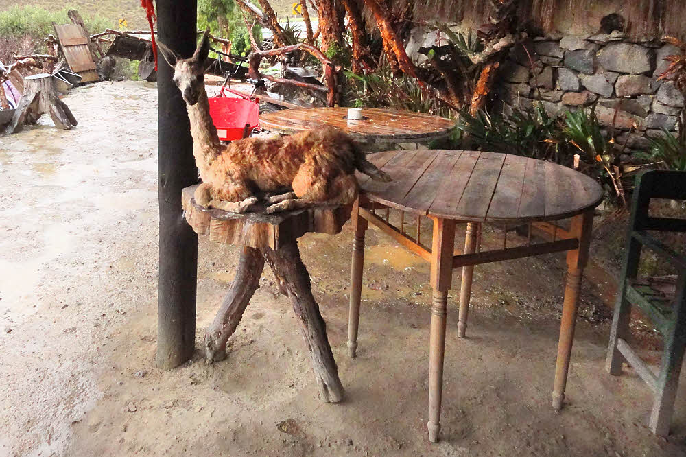
There's nothing stellar here but it might be interesting to see a little bit of the country outside the city. Mostly I've been photographing graffiti and murals while walking the city for exercise. And unfortunately I don't recall much detail about the places I visited on this trip either.

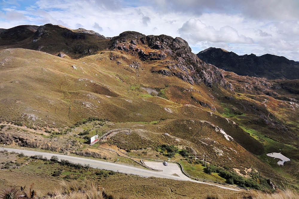
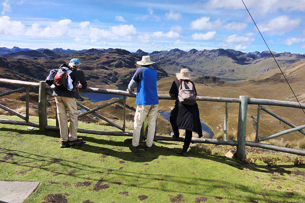
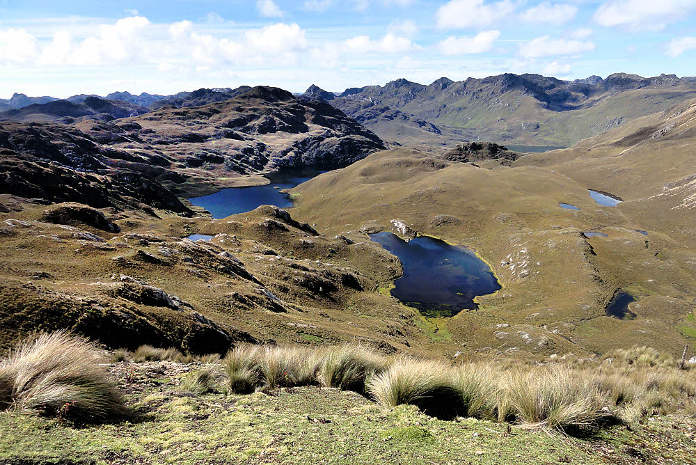
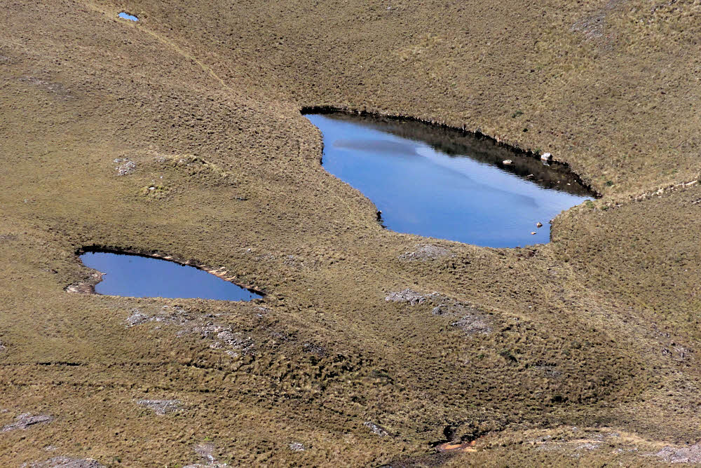
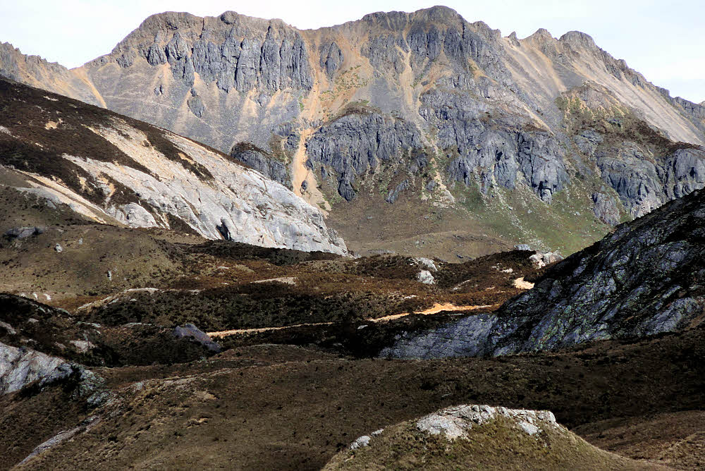
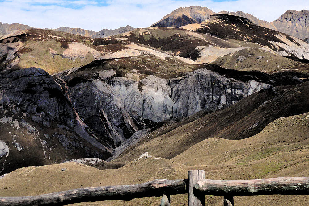
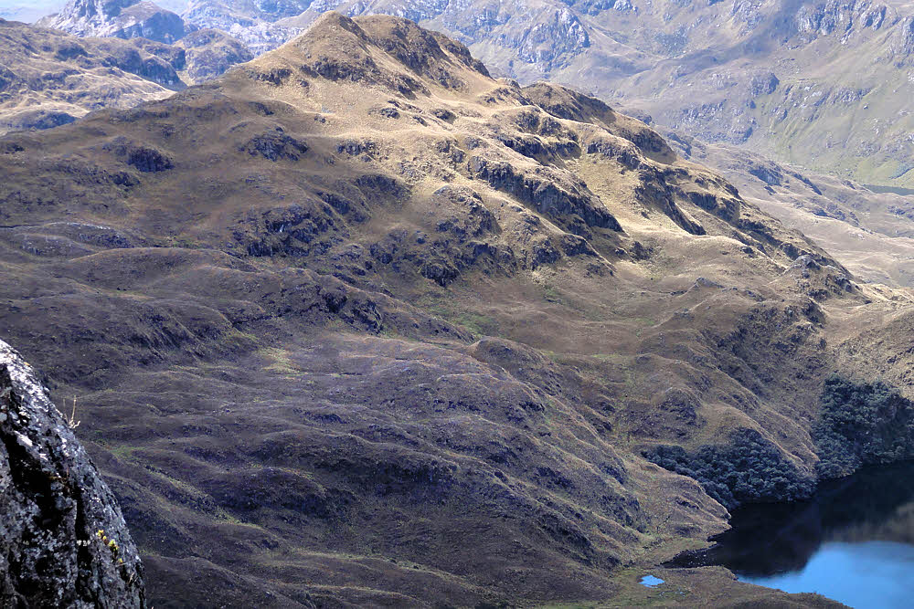
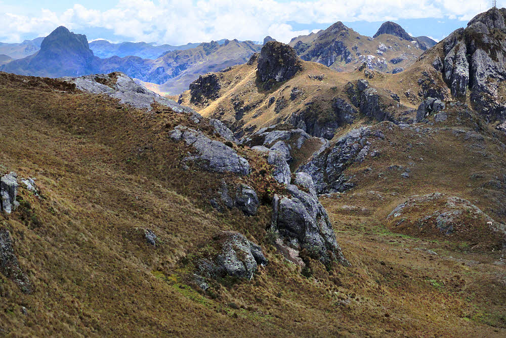
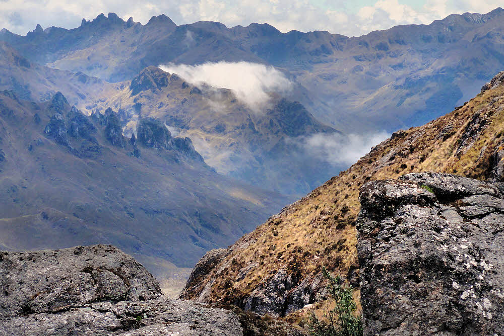
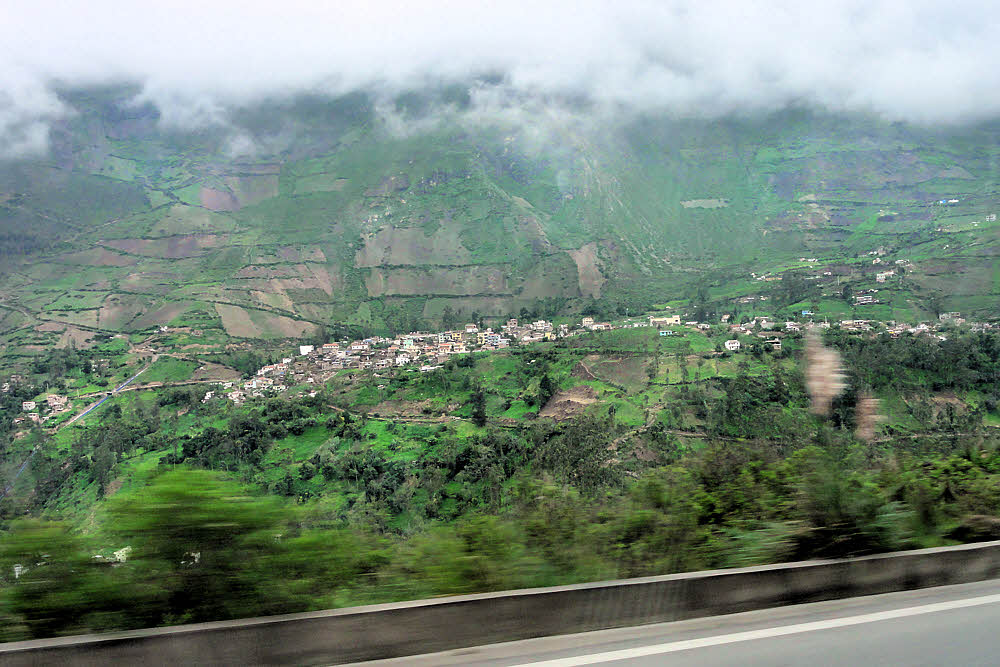
Scenery along the drive from Cuenca, Ecuador to Alausí, where the train ride begins.

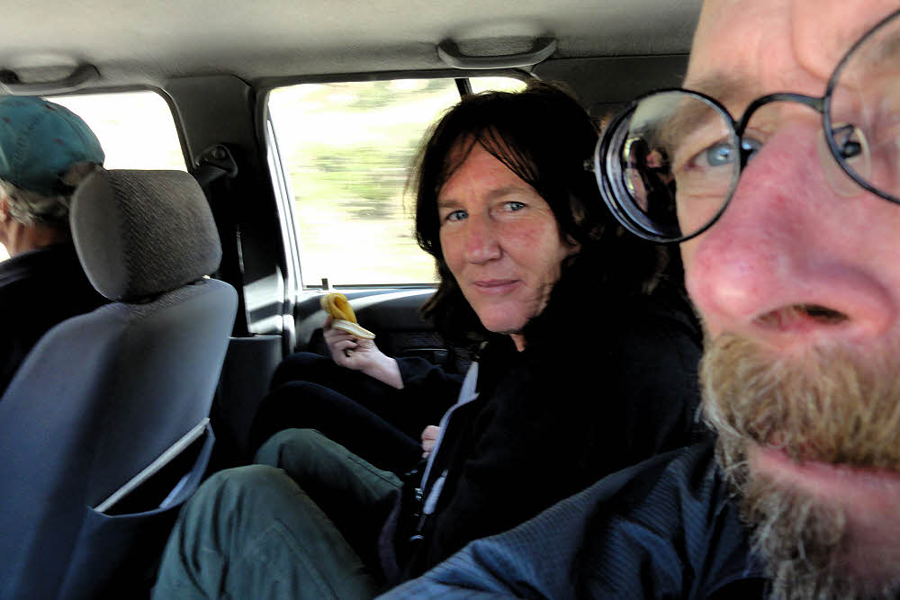
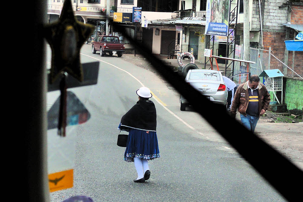
A bit blurred but so was I. From an anonymous town along the highway.

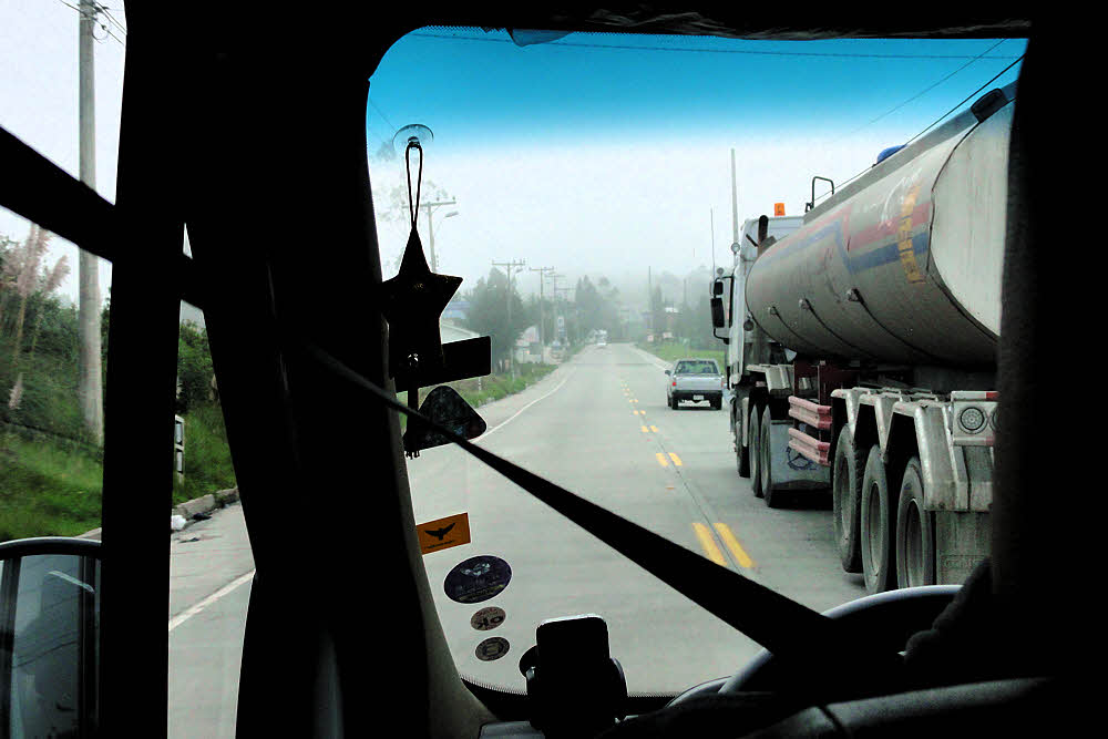
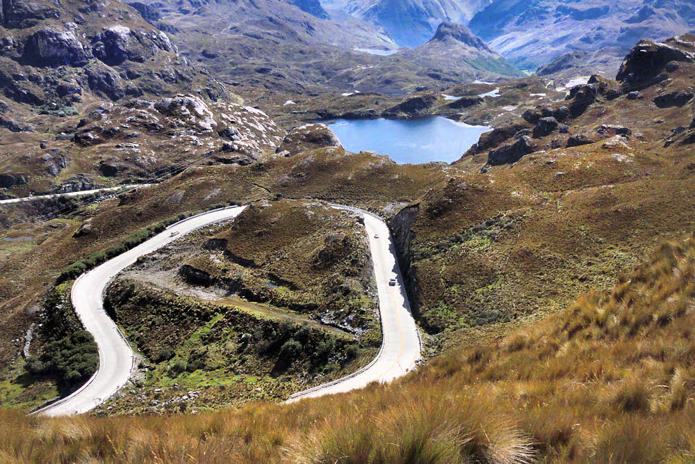
Speaking of highways, you tend to spend a lot of time in the left lane, especially around blind curves (every driver's favorite around here).

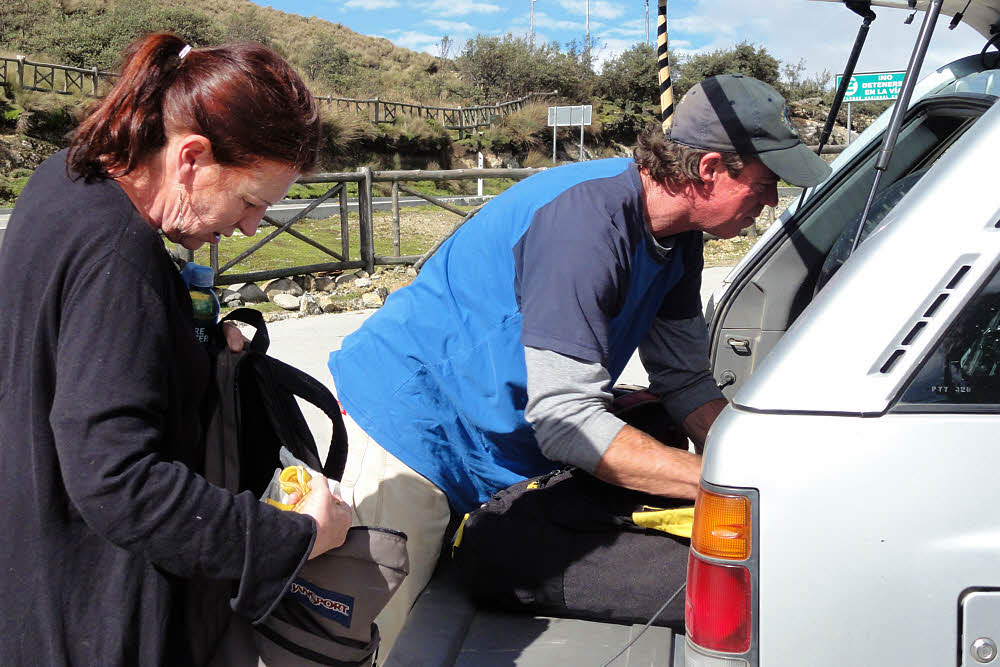
(We didn't have time to stop for lunch.)

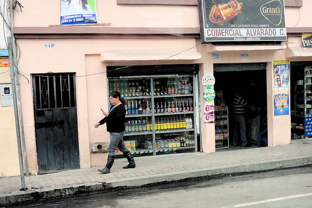
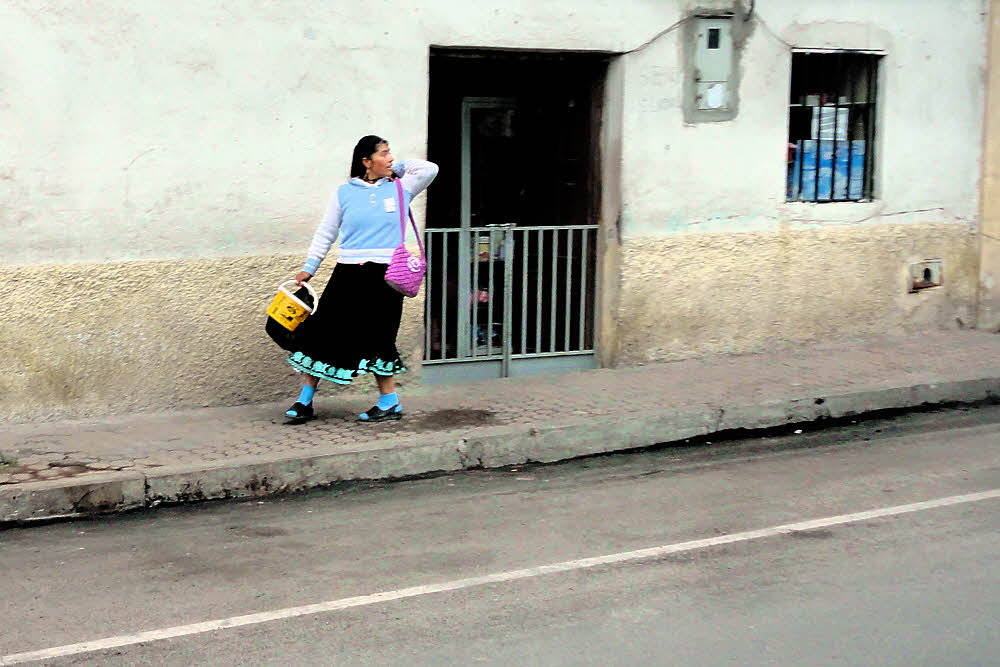
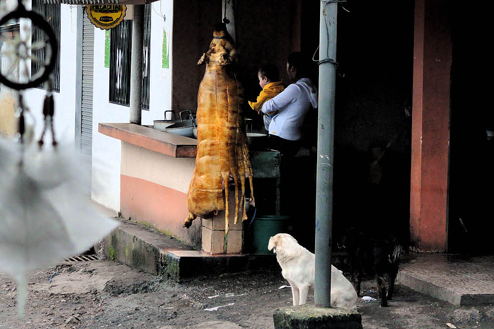
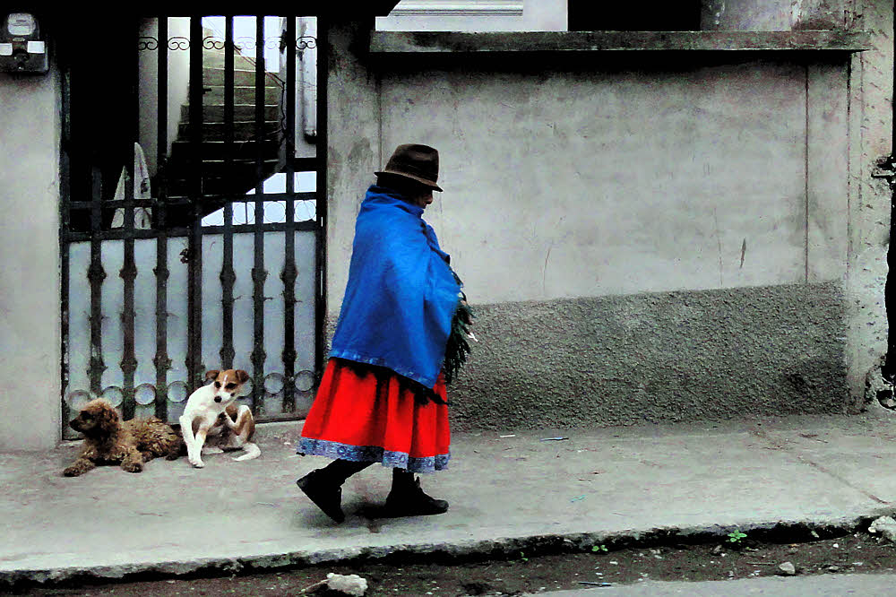
A typical sidewalk in many places.

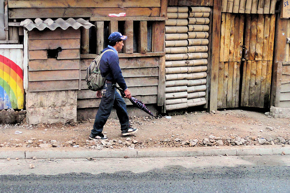
And common traffic hazards.

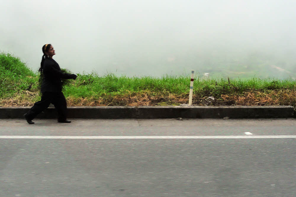
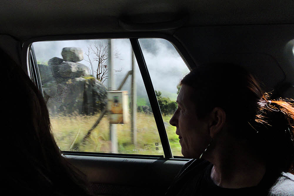
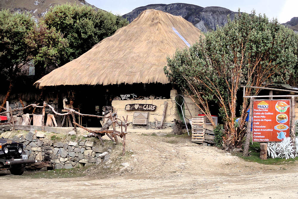
It was also a warm and sunny day (on the other side of the fog).

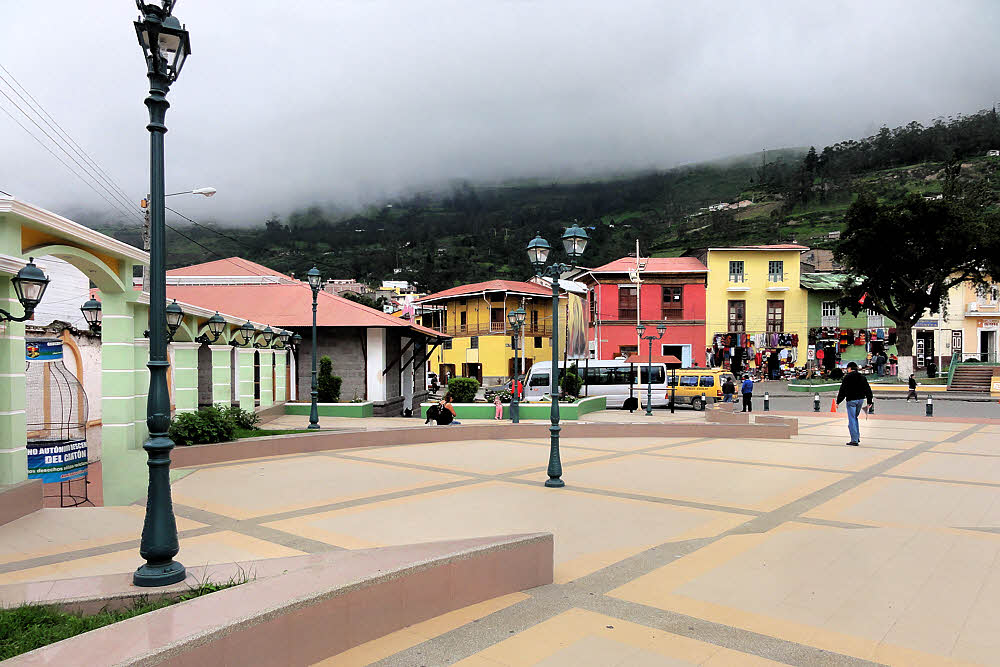
Alausí, which looks bigger from the inside.

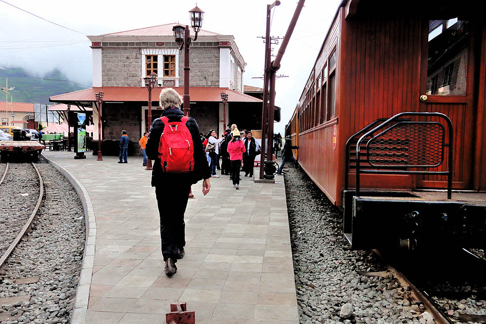
Getting close to the terminal. (Note paved sidewalk.)

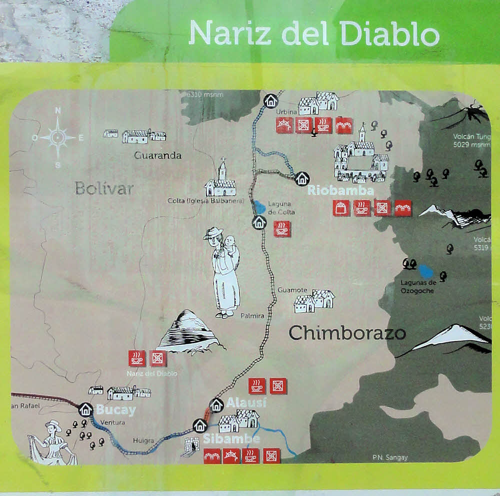
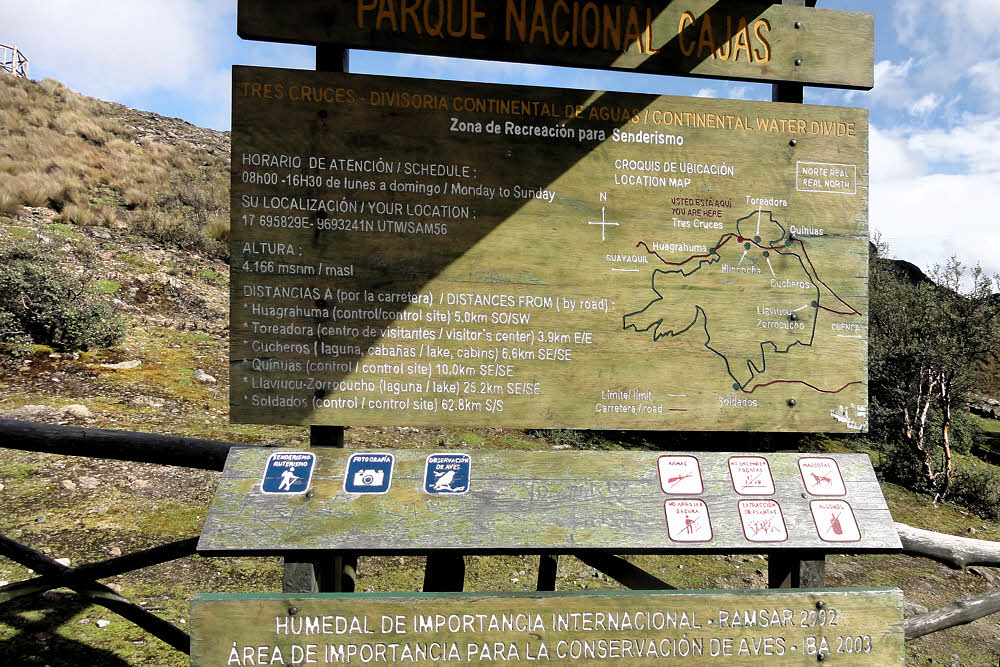
"You are here, somewhere." The trip is that tiny piece between Alausí and Sibambe near the bottom.
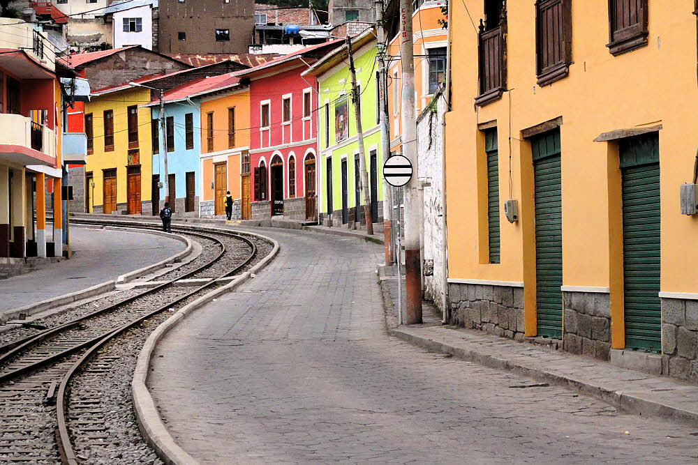
Downtown Alausí.

The train station, where you had to show your passport, for some reason.

Around the corner from the terminal. The town actually looks pretty nice.

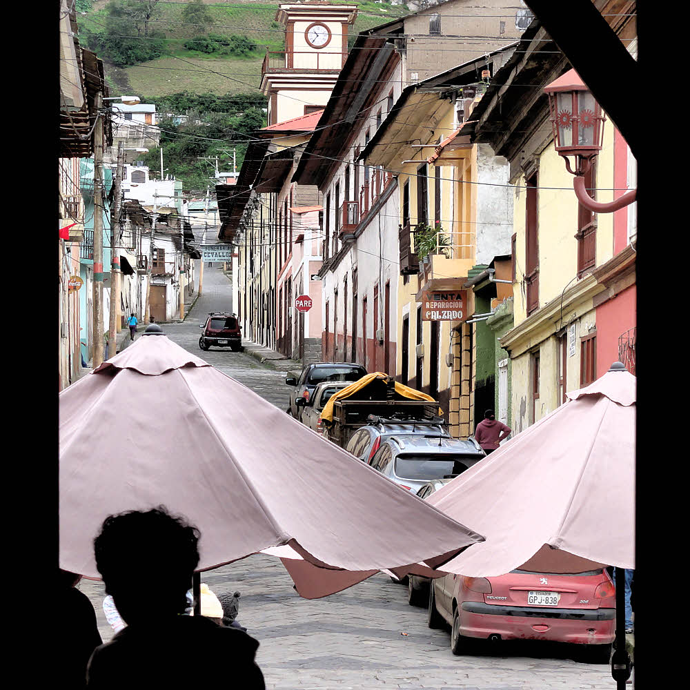
View from the "terminal cafe" looking up the hill.

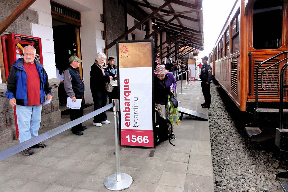
The lineup. Every place has its guard, often armed.

"This one's for you." (Wiggly route ahead.)

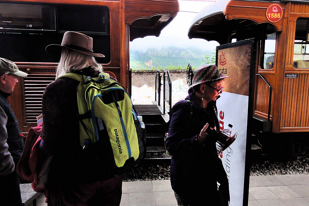
Gringos in anticipation.

Random bipedal molecules in motion. Still waiting.

The train cars did look nice.

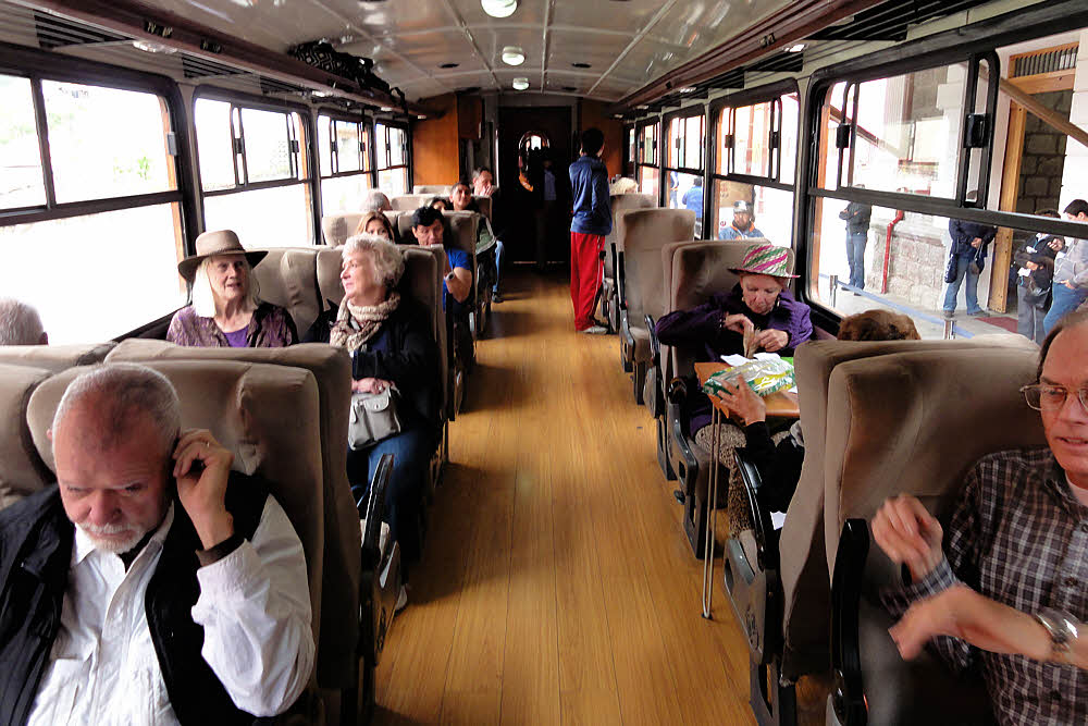
All settled in and ready to roll.

And now we'll pause for a few days while the other photos pull themselves together so you get to see what the rest of the trip was like.


More info.

Ferrocarriles Ecuatorianos route map. (Wikipedia)

Nariz del Diablo (Wikipedia)

Alausí (Wikipedia)

Sibambe (Wikipedia)

Ingapirca (Wikipedia)

Tours still ongoing. (GringoPost, Tuesday, February 20, 2018)

Ecuador Trans-Andean Railway (Wikipedia)

Comments are appreciated via email to: hoofist@nullabigmail.com

Thursday, February 15, 2018

Ahas In The Cajas

On the way to 14,000 feet, above most of the atmosphere...

Hostages.

Zona de Recreación para Senderismo. Check. That's what we came for.

Unloading, and releasing the hostages. Soon after, they all made a break for it.

'You are here', but where is that? OK, west of Cuenca. But where is Cuenca?

Ah. 'No enceder fogatas'. Luckily I never do. And unlike the U.S., in Ecuador, if you are caught with an unauthorized firearm or an authorized one where it shouldn't be, you can go to prison for 15 years.

Starting elevation: 4166 masls or 13,668 feet. OK 'meters above sea level'. Check. That shortens the hike up to 14,000 feet quite a bit. And that 'msnm' is 'metros sobre el nivel del mar'.

Shade, just one meter higher, behind the sign.

After a lot of stairs we encounter tourists.

But looking back down it seems like we've already accomplished something.

Now, if only someone knew how to cross the fence, we could get out there.

Yes, there.

But it does look a bit scrubby.

And over here — mountains.

And over there too. We're so close, but that damn fence has us stymied.

No one knows how, but suddenly we broke free. Or they did, and left me behind. Maybe because I make such a good behinder.

It's not easy to get here, even by road. Makes you dizzy.

What do you mean 'we're lost?' Speak for yourself, Mr Guide Person.

See? How can you be lost out here? Just follow the clouds. Clouds are never lost, and there's plenty of water.

And fun plants. Is this a plant?

No, the guidebook said 'Go left at the big rock'. Might be that one. Let's go sniff it.

Anyway, the scenery is good. There's some now.

And there are flowers to eat, so we won't suffer from any yellow pigment deficiencies.

Maybe the hawks know which way to go.

Quick! Through here. Pretend you didn't see anything.

Then if we do get to the top, will there still be air?

Moss. Where there's moss, there's air, right? Is this moss?

This isn't moss. Maybe we made another wrong turn.

Yeah, well, time to replenish our precious bodily fluids.

Which seems to do the trick, because this here spot on top is 14,000 feet.

Although Mr Guide Person prefers not to be seen with us, or something.

Or maybe he's hoping to be hit by lightning.

OK gang. Take a good look — when we head back, remember to turn either left or right at that notch over there.

And don't eat these.

Or sit on this unless you're wearing pants.

Or put any of these up your nose.

Or share your secrets in front of this stuff.

And above all, definitely do not hug the bushes.

Look familiar? Anybody? We came in this way, right?

Or was it that way? Did we remember to turn right or turn left back at the notch?

Hmmm.

Let's continue discussing it, then do something and hope we get back home after a while. Lady in the Cusco hat — you go first.

Is this thing getting closer? />

OK, so we're not alone after all, but who are they?

Over there. Over there? Over there! Definitely.

Huh. You don't say.

Ditto.

Meanwhile, this thing slowly creeps closer, feelers twitching.

Hey, y'all — Behinder here. Wait for me at least a little. Please? I want to go home too.

OK. (Like there's anywhere else to go.)

Which is how we got up here, but somehow it's easier in this new direction.

Yes, follow.

Ah. The highlight of every gringo event: lunch. Trucha frita, $2,50, courtesy of Rancho Hermanos Prado.

Someone already ate this one.

And these. (Or else it's art.)

Sit. Something will happen. Possibly a meal.

And Ed has the door covered.

The end.

It's actually a place!

Rancho Hermanos Prado

Parque Nacional Cajas

Send comments via email to: hoofist@nullabigmail.com