Showing posts with label places. Show all posts

Wednesday, December 6, 2017

Been There?

Roadside Wonder Semi-National Park And Aquatic Center

I thought the ranger was cute, but then I noticed that he had too many toes on one of his feet. He was wearing heavy boots so I couldn't be sure, but I'm sure. I'm never going back there unless I don't have anything better to do. No convenient outlet malls for shopping either. P.S. Mom warned me but I didn't listen. Thanks for nothing, Mom.

— Bradley


Rocky Canyon National Park

Pretty much what you'd expect from a hole in the ground, and they still charge admission besides. I'm telling all my friends so they don't have to as well.

— Bethany-Ann Morgul


Sir Francis Ozark Non-Representational State Forest, Arkansas

Not bad if you're into modern dance and abstract art but I got indigestion. Maybe I licked off too much of the finger paint. I think it was the orange. Avoid the orange, otherwise you'll probably be OK. There were some bugs too. Just off Highway 12½. Turn left at the big barn and ask for Joe if you really feel this adventurous. It helps if you know sign language.

— Rupert (I'm an accountant in real life.)


Scrubland Regional Desolation Area and Provincial Toxic Waste Reserve

I think this was in Canada or someplace. I don't remember how we ended up in a foreign country if that's what it is. Dad just gets us in the car and drives, you can't even talk to him. So after about a day and a half he just stops and sort of falls out of the car and there we are. Nothing to do there except it got more interesting when we all started developing skin lesions. Then somebody came and took us into town. We had a few hamburgers but the french fries were not that good plus the money looked weird and stuff. I'd rather watch TV. Never going on vacation again unless they have a real roller coaster. They kept Dad. Said he was unusual or something I think. So far we don't miss him that much.

— Charles


Bug Infestation County Park, Kansas

I ate something on a stick. I thought it was cooked but then it started moving but I was hungry so I pretended that I didn't notice. It had feelers. They kinda tickled. I usually work in an office so this was all new to me. I just hope I didn't catch something while I was there.

— Sally


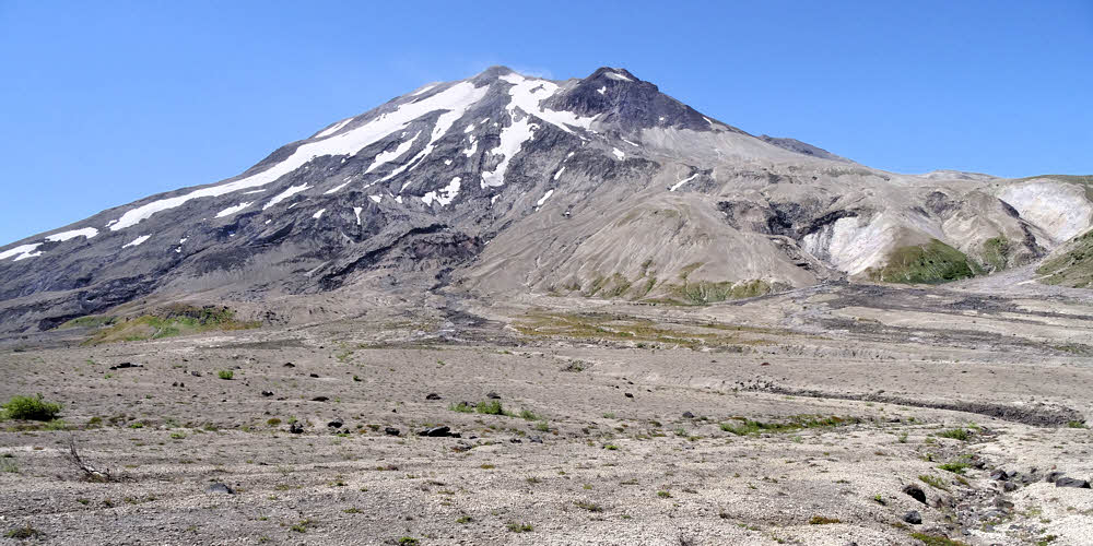
Mount Rainy National Park

WTF!!!! NO RAIN!!! Plus there's this big honking mountain you have to drive around or you can't get anywhere. Anyhow I hate rain so I don't know why I even went there in the first place and there were lots of people like hanging out like they were waiting for something or something but there weren't any geysers or anything just this mountain with some like glaciers or something way up there and it was too far to walk and it's only glaciers and stuff anyway. We're never going back.

— Theresa and Cuddles


Stomach Cramps Roadside Rest Area, Missouri

The name pretty much says it all. We stayed for a week until the Sheriff came and kicked us out but he kept my Howdy Doody Commemorative 10th Anniversary publicity photo signed by Buffalo Bob himself in 1957 and I for one will never forgive him for this.

— Walton James Thurber III


Death Valley

Over-rated. Nobody died while we were there. Avoid if possible.

— Valentina (I used to be a ballet dancer!)


Fallen Arches National Park

This is the other one. It's in Iowa. You go there expecting an adventure but all they do is try to sell you overpriced insoles. It isn't even a National Park. I checked. Totally phony but I did meet an interesting guy there. His name is Rolf — used to be famous back in the 60s. Kept trying to get me to come out behind the shed where he promised to show me his energy field. It's true that magnets stick to him, I saw it, but I'm not really into that anyway. I'm more of a shopping person so we parted ways. I got a great deal on a pair of patent leather flats (black) covered with ladybugs so it wasn't a total waste except all the ladybugs ran away right after I paid for them. Kind of a bummer.

— Rawya Lindstrom-Tuttle (Not my real name, lol!)


Pretty Large Dismal Swamp, Virginia

Not a world-class place. I've personally gotten far more depressed at work, and without so many snakes around, and there's no Starbucks nearby. Poor humidity control too, if you ask me.

— Olivier


Samson Agonistes Tragic Roadside Theme Park, Colorado

Wish the show had gone on longer. Six hours is definitely not enough time to do justice to this magnificent story. Very clever use of sock puppets though.

Does have a few kind of clumsy lines, like:

Then with what trivial weapon came to hand,
The jaw of a dead ass, his sword of bone,
A thousand foreskins fell

So you may want to prepare yourself for awkward questions from the kids, just a word to the wise, but they make their own popcorn fresh for every performance and Dalila was a major babe, especially for a character made from wool hiking socks, and I'd like to know who Samson's hair stylist is since I've got this awkward bald spot, but I probably should have just bought one of the souvenir wigs. Oh, well...

Also great: Manoa the Father of Samson, Harapha of Gath, and the Chorus of Danites. Best Chorus of Danites ever, but when we finally did crawl into our sleeping bags about 3 a.m. the guy in the next tent's snoring pretty well kept us awake all night, and there was apparently a little swordplay down by the restroom area which was not at all soothing either, but I have to admit I really did fall for the beer-flavored ice cream and was completely enraptured by almost all of the serving wenches.

The wife of course totally got into the main dude and absolutely had to have one of the official life-size Samson-replica dolls, but I wouldn't let her bring it into the tent. She wanted all of us to "snuggle" and so on. Wait til we get home, for crying out loud, at least, I told her.

I'm sure we'll be spending a few nights working through this one.

I'm definitely going back though. Maybe without the wife even. We'll see. Thursday maybe. Love those wenches.

— Walter


J. R. Simplot America's Favorite Side Dish Hot & Spicy Golden Brown Tater-Togs National Forest, Idaho

Lots of stumps, and if you like beef stroganoff, you're not getting it here.

— Leslie


Oh So Oso Chocolate-Flavored Fruit Punch Tufted Auditory Appendages National Monument and Uranium Mine

We had a fun tour of the pit. It's not every day you get to drive your own rented jeep around in a working uranium mine and visit the therapy chamber of your choice. "Bring back that healthy glow," the sign said, so hey — worth a shot. I still feel a little buzz going on, and it's been six weeks now.

This used to be called Hoon‘Naqvut, or Shash Jaa’, or Kwiyagatu Nukavachi, or maybe Ansh An Lashokdiwe (they couldn't seem to decide) so no wonder they changed it. In English it's supposed to be like "Bears Ears", so why couldn't they just say it? The story is it used to be sacred or something. Mostly dirt. Sacred dirt, I guess. Whatever.

Got boring after a while, so we spent most of our time in the cafe and gift shop trying out the drinks. Brought home a sixpack. Lots of teddy bears for sale. Any kind you could want. Best variety I've ever seen, all imported, which makes up a little for the vast wasteland outside the plate glass windows. Oil wells and off-road racing could only be an improvement here.

If you visit, don't miss the Ryan Zinke Memorial Restroom, which has the only diesel-powered toilet I've ever even heard of. It also has a nice portrait of a recent President hanging inside to inspire you.

— Hamish Enfilade (I'm not from around here so don't blame me.)

Thursday, February 23, 2017

Skyline Ridge, August 2016

It was an odd year.

I went places I'd been before, often many times, but many of them were barely recognizable.

Maybe it's my memory. Maybe it's time and weather. Or a combination.

Maybe I'm an impostor.

It could be that this is what it's like to infect a human and take over its body. I could be a body snatcher, and not good at it. If this is the reason, my inexperience shows.

I have control of the body. It goes where and when I want. And the mind is mine, with its memories, with its knowledge, and its understanding, but the match is not quite right. I can drive the mind around but the memories are off. Skewed. Warped. Inexact. Clumsy. Sloppily glued together.

I go places that this body has been, and there I am, but where is that? The edges don't match. Things are not right. Not quite. It seems that they should be but they are not. Not right.

The map says I'm there. My memories say I'm there, and I'm not there. The land is not right. Things go missing. Lakes. Mountains. Trails. Whole forests. Everything is off.

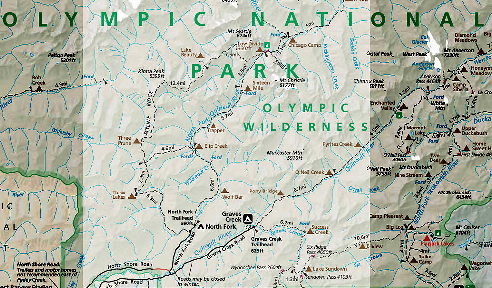
So it was with the Skyline Ridge Trail in Olympic National Park, and its connection with the trail along the North Fork of the Quinault River. Off.

It was off.

Good weather, clear trail. The aftermath of a low-snow year. I had decent hiking, wasn't in a hurry. Everything was fine at first.

I left my car at the North Fork Trailhead a little north and east of Lake Quinault, a nice place. I'd spent the night off the road near Bogachiel State Park up north. It has a great shower, at least on the men's side. Can't speak to the other half. With the state parks it's a real crap shoot. And it was not only a working and good shower, but I got a deal.

I bought tokens at Millersylvania State Park near Olympia at four-for-a-dollar, and used them at Bogachiel at the rate of two-for-a-dollar. And had a great shower too. Almost a good enough deal to make me settle there permanently. Few state park showers are any good. Some are deceitful. They take your money and don't give water. One with reliable hot water is worth marking on the map and returning to.

But that was yesterday. This was today. I was there to hike. So I hiked. Things were fine.

Up north, by the time I got to Three Prune or thereabouts, I camped. Difficult. Few trees good enough for a hammock, but I found a spot. Not great but it served. Spent a quiet night not far from a little stream. Left my food in an Ursack and hoped it would work. Was alone. Fine.

It worked. OK so far.

But I didn't recognize a lot of the trail. The broad outlines, sure, but not the details. I was looking to revisit them and they'd gone off somewhere.

Like the spot I'd stopped about a decade ago, speculating on lunch. It was a nice spot. A small circular meadow surrounded by willows, near a stream. Here? Over there? Closer to the stream? I stood, thinking it over.

I was wondering if maybe I should go past the stream and sit in the sun a hundred yards or so farther on, or not, when I saw a bear looking back at me. From beyond the line of willows, over by the stream. A quiet bear. Brown. Large and brown. Sitting, looking at me through a small gap in the willows like the resident of a small old village eyeing the tourist from a window. Casually.

I stood. Right where I was.

Before long the bear decided to be elsewhere. Me, I wasn't sure. Couldn't go on, not with the bear parked on my route, couldn't go back, because. Because I'd just been there. I wasn't going that way. So I waited.

The bear pulled its head down. Vanished. Only willows again. I waited. I saw bear again, circling around me, moving away from its spot on the stream to my right, crossing the trail, heading off left. Up ahead now, peeking through another window to check. To see if I was behaving.

Yes. I was.

I waited, an uninvited visitor in the bear's living room. Trying to be polite. Unsure of exactly what to do. So I waited. To see what the bear thought. It pulled its head down again, still going left.

Several minutes later I slowly moved toward the stream, going opposite to the bear. All quiet. I tanked up on water, looking around, staying quiet. All quiet all around. I moved on, had lunch farther down the trail.

I wanted to see that same place, see what it was like now, and walked over the same ground but did not recognize the place. Not even once. Odd. Things didn't seem to have changed, but they had, enough so I couldn't recognize landmarks, couldn't orient.

Anyway. I was headed to Lake Beauty. I'd been there the previous year during a long-smoldering fire season in the Queets Valley, which is over the ridge to the northwest. A hot year then. Smoke blew over the lake all night. No one else was there. Just me. Decent place to camp. Fresh clean water flowed out of the lake through a ridge on its northwest side, filtered by tons of earth. No need to drink green swarming lake water.

Anyway, I was headed there but didn't make it. Got lost.

Not lost. The trail went away. Up in the area shortly after Kimta Peak and long before Lake Beauty. The land gets rocky. You follow cairns. No problem. I'd been through there before, at least four times, in both directions, as recently as last year. I had a picture of the route in my head, the head I'm occupying. The memory is there for me to use, whether it's my actual memory or the memory of the body I'm temporarily making use of. Regardless.

And I had a map.

Going west to east: Start high and angle down toward the southeast. Going east to west: Emerge from the woods and angle northwest while climbing over moderately rocky ground. Simple. Do it once, or twice at most, and you can close your eyes and sail along.

Didn't work this time. Somehow. Didn't work.

The cairns were sketchy. Shouldn't have been, not after a mild winter, not with so many people out on the trails. Cairns should have been robust, sharp, frequent, and clean, built up afresh by many helpful hands.

No. Nope. Not.

The farther east, the farther across this rocky reach, the flatter and more disorganized the cairns. Scattered. Spread. Splayed. Random. Tricky going. Time was getting on. Voices.

I heard voices shortly after the last cairn gave way to random pebble collections. Voices. Someone knew where they were going. No problem now. I met them. Three guys from Boston out for a big adventure. They were ahead of me, had found the trail that I needed.

It didn't go where I expected. Didn't match the memories I had with me. Dead end, the guys said. Led down to a camp spot on the top of a cliff. That didn't sound right. The trail definitely didn't skirt the cliffs hanging over that little hidden whatever stream way down below somewhere. Stumped.

I backtracked. They backtracked. We looked. Everywhere.

Then I found a different cairn trail that went up instead of down, northeast instead of southeast. I followed it. Nope. Dead end. Just higher than the other dead end, but still dead, and an end.

Getting late. All hands frustrated. Stymied. Four of us. Three guys who'd never been here before and I, who had, and should have known how to walk through it, humming happily no probs just follow me.

Nope.

I checked every whichway and could not remember where the hell to go and could not find the trail.

We camped by a meltwater pond surrounded by old snow. I put up my hammock fly and stretched out on the ground. The night was calm. A little breezy, a little damp, but calm. Quiet again.

The next morning the three of them went back to looking where they'd left off. I headed west, planning to find the trail again and to try following it a second time. I did. After a huge detour way up high. Have to get back there. Never knew what fun landscape there is way up high there far off the trail.

They were right. The mess of cairns, followed a second time, pointed me to a camp spot on the cliff, the one they had found. And then there was a vague trace of trail, and then a little more, and some more again, and I was past it all, back on the trail again, definitely.

Eventually it became familiar. But I didn't see the other guys. Kept expecting to bump into them from behind. Did see a different hiker coming the other way. He hadn't seen anyone. No guys from Boston ahead. Only a bear.

Scuffling along the gravelly trail in a shrubbery tunnel I walked into that bear's personal space. It was around a shallow bend, standing on the trail's up-side, looking downslope across the trail, and exploded when I broke its reverie. Boom. Gone. Racing down the mountain before I knew what from where or why.

Ok, that wasn't good either, was it?

But it was over. I kept going.

Eventually, the next day, the Low Divide came along and then the North Fork of the Quinault River, and way down south, the Wolf Bar area, but other hikers were there already, so I couldn't stay. Way off the trail downstream I found a quiet empty spot, decided to stay, and committed a crime.

I found a decent camping spot near the river, but there was really only that one spot, and the space between the two trees I needed for my hammock was occupied by a third tree, a young conifer, right where my hammock would hang. I used a length of spare line and a toy carabiner that had come with a bottle of sunscreen. Tied back the young tree, severely. Hung the hammock. Ate. Bathed. Went to bed.

Left the next morning. But only after a rough walk back through brush to the trail did I remember that I'd left the little tree tied up, bent way over. Go back? Well...

No. Naw. Not worth it. So far back. Crap.

Stopped a few minutes later. Thought it over. Same decision. Kept going.

All the way back to the car. Stop. Think. Shrug. Continue.

By the time I reached the car it was way too far to go back. Easier to live with the guilt, I thought.

Another guy drove in and parked. Had a jeep. I didn't tell him about the tree. After a few minutes he headed out for a hike. Left his vehicle's windows full open. Before he vanished completely I hooted and asked if he wanted to do that, leave the windows open. Jeep full of stuff, bicycle on the back, all there for the taking.

Yep. No choice. No glass in those windows, he said. No way to roll them up or lock it. Always open.

I tried anyway. I told him. I'm not all bad, I thought.

Yes, I am.

I need to get back to that tree and untie it. Undo my crime. Some day. I will. No way out of this one. I will remember that, at least, clearly. That memory won't be false. I know exactly where it happened and what I did and how I did it. The little tree will wait there, tied, until I go back and let it go and say I'm sorry.

Even a body snatcher has a conscience about some things.

Wednesday, January 4, 2017

St Helens July 2016

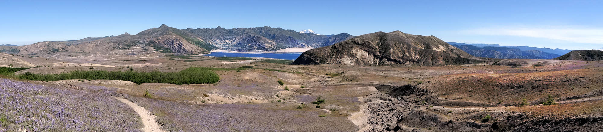
Looking north toward Spirit Lake with my back to the mountain.

So there I was, in the season of summer, with my shoes full of sand. Exactly as planned.

"Now what?" I thought, standing once again on the gritty soil of Mt St Helens.

There was nothing left to do but walk. After all, that's why I was there.

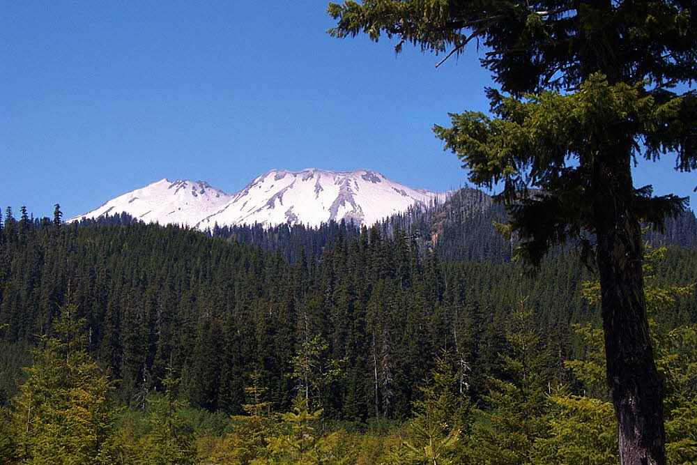
Mt Rainier peeking over the horizon.

One of my mottoes is "No Sniveling". (Sure, I stole it from Sgt Rock, aka Ernest Engman, but it's still something I try to live up to.) And it does fit with my other main motto, "Effort or Eff it", which sort of came to me on its own. Either way, I have a level of personal, to-mine-own-self-be-true obligation not to look completely confused and helpless in case anyone is watching.

Although I do have to give the applause to Groucho Marx, who said (although I can't remember in which movie), "Those are my principles, and if you don't like them, well, I have others." I can, in a pinch, probably come up with any principle I need, but that day the only option was to start walking in a big circle.

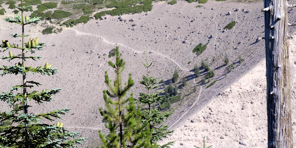
Near the west end of the Pumice Plain.

So that's what I did. On my first trip of a short summer.

I knew the area, having been around St Helens at least half a dozen times before, though the last time was in 2009. And it was messy way back then. The trails were degraded from successive winter storm damage and lack of maintenance, probably due to a never-ending cycle of budget cuts. I didn't know what in what shape they'd be in 2016, but I knew the mountain pretty well.

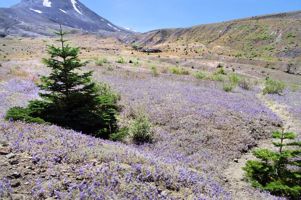
Fields of flowers in an impressionistic mood.

Mostly it's a game of taking it slowly, and then eventually you overcome anything that's in the way. So I had two and a half months to do something, and this was my start.

It wasn't bad. There had been a significant amount of trail work in the intervening years, and I didn't have any real problems, but it was a dry year after a dry winter, so water was non-existent. The large streams were flowing but none of the smaller ones. Willow Springs on the north. That was good. It's clean and clear.

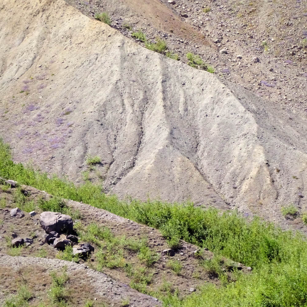
Headed south along the west side.

Loowit Creek and one or two of its nameless companions, also on the north, but all have heavy loads of silt.

The south fork of the Toutle River on the northwest was also flowing, and a couple of its clear tributaries down in the forest, but then nothing for another 180 counter-clockwise degrees until June Lake on the mountain's southeast. There were a couple of unexpected weak trickles in the east-side canyons north of June Lake, but nothing after that until Willow Springs came around again.

Fresh, happy new growth.

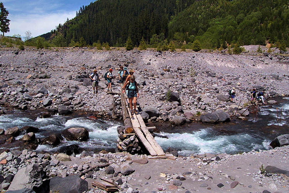
But the first really nasty obstacle was Toutle River. For several seasons it was nearly impossible to cross, not because it's big and ugly but because it couldn't be reached. Unless, of course, you felt like jumping off a cutbank and dropping 25 feet (8 m) or so. If you were going the the right direction. Because coming the other way, you had to figure out how to climb out of the dang river bed, which was even harder to do. But last summer, no — the trail had seen work, and it was just another part of the hike.

Somewhat tricky, a little dangerous, but somewhat and a little don't count. Only the big stuff counts, and this wasn't big stuff any more, so not bad. Just another part of the hike.

The long drop into the Toutle River valley.

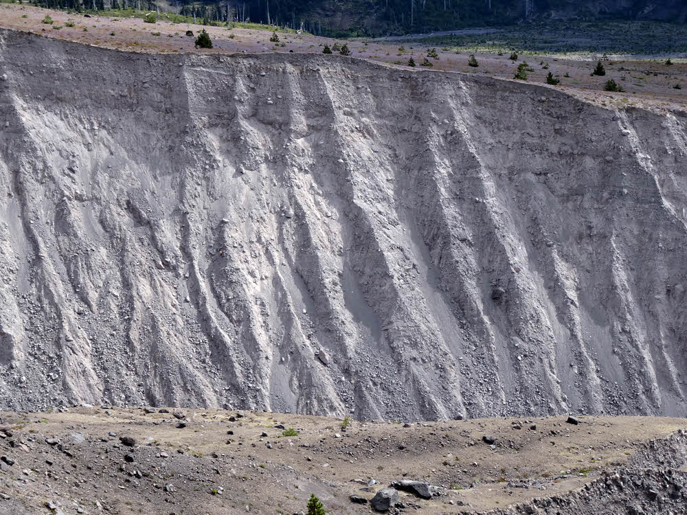
After that, farther along, I knew that there might be trouble in a couple of the ravines. One ravine had the trail washed out of it during the 2001-2002 winter, and that had never been fixed. First, an informal detour got established, and then it was built up and marked, and got to be "The Trail". After that, farther south, I didn't know any more. More ravines, but I had no clue about the real, on-the-ground conditions.

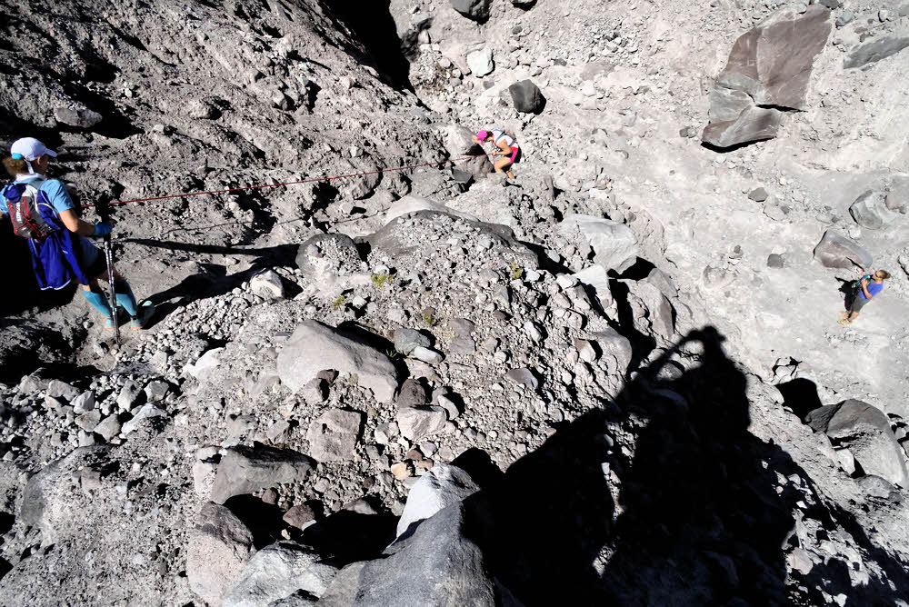
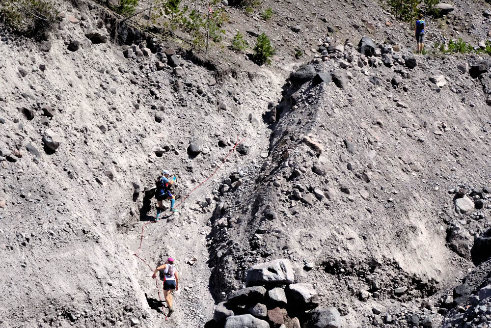
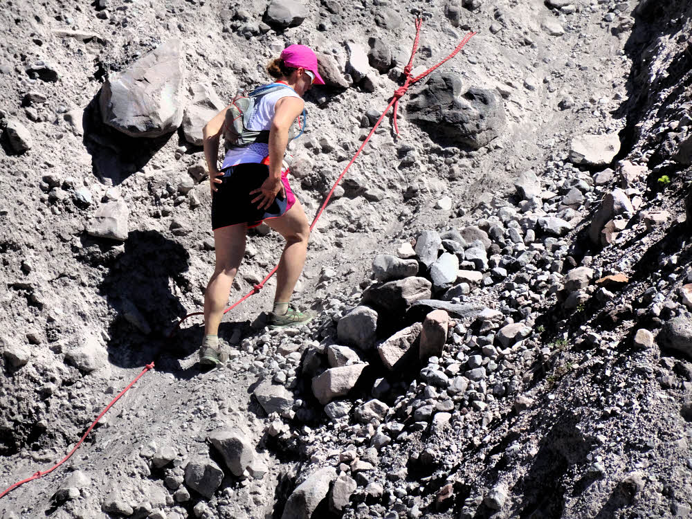
And, you know? Things were good. There were tricky spots, but someone had done a bit of poking and gouging, and had placed ropes on either side of the ever-eroding ravines, and so getting down one side and up the other was no problem. So it was back to worrying about water but not broken legs, and as it happened, I didn't have any real water problems.

Rainier again, from across and above the Toutle River valley.

One thing that did get annoying was all the people out there.

When the trails were so beat up that hiking around the mountain was officially discouraged except for something like "extremely experienced hikers", well, you didn't see anybody else. But this weekend, July 29-31, the place was packed. Especially Saturday the 30th. Runners.

Looking east from high up the mountain's west side.

Runners, all coming at me. First a couple, then a couple more, then whole bunches of them, and after a long while, some of them came back from behind. I guess that a lot of them were going around the whole mountain, but some of the others weren't, or got a good look at the rough spots and decided to turn back, or something. So anyway, my first day was a lot like walking through an airport terminal — people coming and going and milling around and standing around, and you never knew who was going to do what, next, or why, or when, so it was a whole different experience.

But at least that came the second day. The first evening I had a quiet little spot near Toutle River.

Three women going north, crossing a new, improved ravine.

First you get to the river, then you cross it, then you turn off the trail and head for the forest, and back in there somewhere there used to be a little sandy island right next to a little creek. And it was still there, but full of shrubs. Yes, things have changed since 2001. Because of that, and because of flooding. The whole area was messed up — creek beds rerouted, choked with blocky, fist-sized gravel, no good place to camp. I dithered, wandered, pondered, and finally figured out how to place my little tenty thing in between two logs in a sort of OK spot between and above two creek branches and there I slept.

That reminded me why I like hammocks so much. But it wasn't bad. It worked out.

And them going up the far side.

So the next day, Saturday, came the ravines, and then the runners, and no water, and this took be around the south side of the mountain and through three fields of chunky broken boulders, which were not fun any more. By this time I started wondering if all this backpacking stuff was really something I'd aged out of. It was only tedious and uncomfortable. But I got through it.

By the time the trail down to June Lake came along it was late afternoon, and I'd seen no water anywhere, and was really seriously hoping that at least the lake was still there. Halfway down the steep spur trail to the lake I got a glimpse of it below, and there was no lake any more, only a round, dry, flat spot, but what to do? I kept descending.

Tough. Gnarly. Successful. (Compared to me.)

Something would work out. Maybe. That's how it usually goes.

And when I got to the bottom, the lake was still there. I'd seen something else from above. The waterfall feeding the lake was still there too, and grass and moss, and I crawled into the willows and washed up and then ate and pitched my shelter back away from the lake on sand and was OK.

Meanwhile, the outside world continues unabated. (But choosing to hide some secrets.)

The final day was uneventful, but still dry. The places I might have camped in a normal year were dry and dusty, so having June Lake was a lucky break. Anyway, the weather was great — sunny and calm, and the going was good.

The east-side ravines were significantly bigger than they had ever been before. They never get smaller no matter how often they get scoured out, do they? And there was a bit of water in two of them, and I think I picked up a bit. Having too much wager never hurts and the weight of it feels like a reliable insurance policy when you know for sure that you're in dry country.

Jumping to Day Three, we see a ravine. (The trail does go through it.)

Mt Adams was out, comfortably sitting in its proper place out east, with Mt Rainier up north. Bicyclists were chugging up the Ape Canyon Trail. They didn't get out there in the old days, 15 and 20 years ago, but now they're all over. OK fine. I saw them at the head of Ape Canyon and from there out west across the Plains of Abraham, but there is lots of room for everybody there, so no big deal.

Once at the west side of the Plains, it's a walk downhill and then uphill and then it's over, which is what happened. Done.

And another view of another ravine. (Or maybe the same one — memory's fuzzing.)

I did fudge a little, and it was good. Since I'm no longer living in the area, and traveled and slept in a car all summer, I stayed the night before my hike and the night after at the Ryan Lake Interpretive Toilet, Picnic Table and Parking Lot to the north of the mountain, off Road 26. No one else came or went either night. I had the luxury of parking on smooth pavement, with a concrete walkway where I was able to sort out my things and pack up before the hike.

And there was radio reception, so I got to listen to the Democratic National Convention coverage and kind of sort of maybe almost aw shucks what the heck got to listen to Hillary Clinton and decide that if she was going to inevitably be the next President anyhow, she wasn't all that bad, probably. So I slept as well as anyone can in an odd and tricky world, and that was about that.

And...Then we have the Plains of Abraham and a short walk out from there. (Exit stage right.)

Wednesday, December 21, 2016

Taking Steps

What's a prisoner to do?

Pace.

Luckily, my cell is large. I can take big steps.

I have room to rattle around aimlessly between the walls. I can go out the door, hit the street, and as long as I don't get lost, I'm OK. But this isn't really hiking, let alone backpacking, which I miss.

I spent most of the summer back in the U.S., sort of randomly backpacking around Washington State, living in a car I bought in July and sold in September, parked in nooks I found in the woods or in state parks when not on the trail. It was good enough. My time was limited and I didn't have any real plans other than to be there and enjoy summer.

My time was limited because I'm in the middle of a sort of probationary period defined by the Ecuadorian government. I'm kind of a refugee, a refugee from winter, so I'm now an Ecuadorian resident. An official, legal, recognized Ecuadorian resident. For the third time. Yeah, right — did this before. Blew it up twice. On my third round now. They let you do that.

The deal is, if you meet the requirements, which in my case is being able to prove that I have a permanent lifetime income of at least $800 a month, and no criminal history and so on, then it's basically a matter of filling out the paperwork and waiting a couple of months, and then you're in. You can stay. Forever. You can even vote. Such a deal.

And the climate here is crazy good.

Typical temperatures:

  • Overnight low: 50° F (10° C)
  • Daytime high: 68° F (20° C)

Wind: not bad, usually light. Sunshine: YES! Rain: Now and then, around 35 inches per year, or 889 mm, but things usually dry up shortly after a brief shower.

I'm also a former burrowing mammal from North Dakota (Land of the Frozen Dead), who moved to western Washington in 1979 and was amazed that winter never came that year. Things got darker and cooler and wetter and then started getting brighter and warmer and dryer. Summer turned to fall, which turned to spring, and then summer again. Wow. No winter, even though I grew my usual fur in anticipation, out of lifelong habit.

It was like that for a long time. A real treat for someone who grew up where the weather could kill you dead any time of the year, but especially in winter. Winter is an OK season too, but not eight months of it. That's nuts.

Well, eight months of cold or at least cool weather. In North Dakota my favorite month was October, when everything got dry and crispy and clean — no bugs, no snakes, no poison ivy, no humidity, no heat, no storms. Just progressively colder, and mostly calm-ish. Cool trending toward frosty trending toward frozen.

After that was November, which was more of the same, but a little closer to the killing edge, and then December and the holiday stuff, and after that January. I'm not sure what January is good for, but it was right in there like clockwork.

And then after January things got cold. Seriously, truly, uncompromisingly.

February was usually the coldest month in North Dakota. Brighter but colder. It's a characteristic of continental climates. There's a lag. It's like the earth way out there doesn't quite know what's going on, a communications lag or something, so the earth is always a couple of months behind, and keeps getting colder even after the sun begins getting hotter again. It's a thing. You have to deal with it. Or you die.

The last winter I lived in North Dakota, I worked outside. Delivering lumber and other building supplies by truck, around town. Just local driving. I walked to work. The coldest day was in February. Minus 35° F in the morning, minus 7 for the day's high (-37° and -22° C, respectively). Chilly. Not windy though. When it's that cold, at least the wind gives up and stays home in bed, so overall, not so bad. But North Dakota winters go on for friggin ever. That's the deal. You get tired of it.

And then you get older and it's not fun any more. So I left.

And after a few decades in western Washington I got tired of the gray winter skies. True, you can get by wearing only a windbreaker for most of most every winter (and by carrying an umbrella), but you start to go crazy too. In western Washington, it's the same kind of deal as in North Dakota, but with gray skies and drizzle instead of world-killing cold, world-killing cold and wind.

In western Washington, endless humidity and drippy skies drive you nuts by around January 4th, but things don't clear up until mid-July. Yeah, right. July 12th or 13th. I forget which. One day or the other. Like someone flips a switch. After that it's summer. Summer, and it all seems worth it once again. Summer's a killer in western Washington. In a good way. Best summers ever, anywhere. Usually lasting until the third week of October. After that, you start to see some rain again. Then more rain. Then November. November is the stormiest month, especially around Thanksgiving, but it sort of feels cozy. You get to stay indoors and eat stuff and watch the world blow around outside and the ground is suddenly covered in colorful leaves.

Which begin rotting pretty quickly. So they liquefy and then there is more rain and every day is a gray day, and later on sometime there will be a nice sunny day and you feel good again and then it rains for another two weeks after that, and so on. Yeah, right.

I spent several years living in Bellingham. Since I was busy starting over, learning math and physics and such I didn't pay much attention to the weather until I read the newspaper headline one day: Sun Visible for First Time in 60 Days (paraphrasing here, but a true story — from about 1982). It was actually front-page news.

It does make you crazy after a while, so when I got old enough I figured Hey, enough already, and moved to Ecuador.

And then got bored, and moved back, and then got bored with that and moved back to Ecuador and got residency a second time. And then got bored, and moved back to the U.S. and got bored with sitting around all winter (but summer was nice), and got a severe case of the galloping dreads looking at my second winter back there, and moved back to Ecuador and got residency an effing third time, and now here I am again. (Slow learner, wot? Cost me a bunch too, but money's free these days — it just rolls into my bank account toward the end of every month, so it's only numbers. I don't really have enough to live in the U.S. any more, but here I'm actually rich-ish. Can't complain. I'm free to do stupid things now and don't have to get up and go to work and be around morons any more.)

Oh hang on — I can complain.
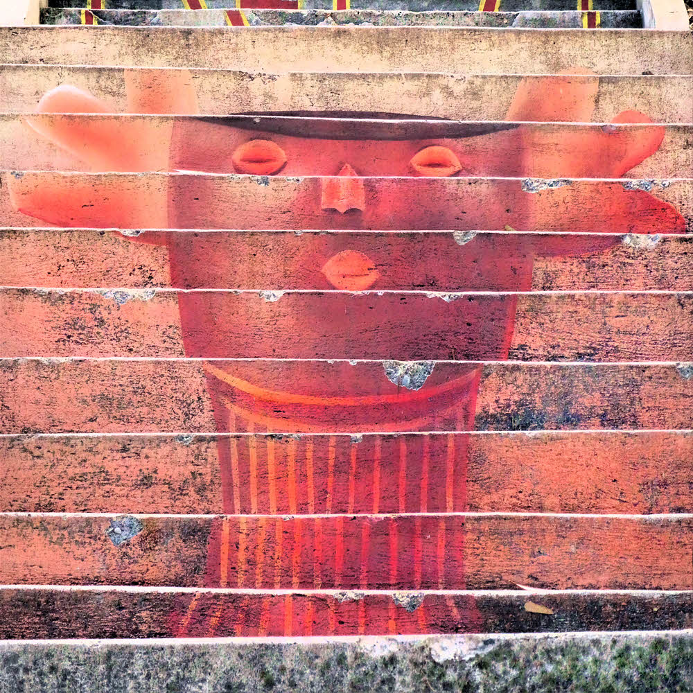
First, I'm a dick. But then, someone has to be, so deal with it. I don't care. (Yes I do, but I'm trying not to whine.)

Second, there's this problem with Ecuadorian law. See, if you get residency, you have this probationary sort of period that goes on for two years. For those first two years you can't be out of the country for more than 90 days each year, or you lose your residency, and I've done that already, so this time I'm biting the bullet and living with it.

I was gone what was it, around 82 days in 2016. My anniversary date was December 7, so I have another 251 days to go until I'm totally permanent. After that I can be out of the country for 18 months at a time. That would work. Meanwhile, I can be gone up to 90 days again between now and next December 7. Happy Pearl Harbor Day, me.

After I see another year go by I can spend eight or nine months backpacking while maybe living in a van, and three or four months here, enjoying not-winter. (By the way, the UV index for today is 10. That means if you spend more than 12 seconds out in the sun your skin starts smoking and bubbling. After a minute or so your skin is fully cooked and starts to slide off. Been there, done that too. A week or two back the UV index hit 13, which will take paint off a cattle truck. But them's the benefits of living at 8000 feet or 2438400 mm. And no bugs neither.) For the rest of this week, the UV index will be just extreme. I'll write you when it's over.

But hey I'm bored again, even with all this bubbling, smoking skin going on.

The big humpy part of my day, the pinnacle, the acme, peak, summit, crest, crown, tiptop, the height, the supreme pointy part, is lunch. I do lunch now. That's my day, most of it.

After lunch, it's downhill. Not a whole lot going on, unless I go for a walk. So I walk too.

But I'm in a city. This isn't like hiking, let alone backpacking.

There are places I don't want to go, and places I can't go, and other places I shouldn't go, and then there's night. Days are relatively short here, year-round, since we're 2.54 degrees south of the equator. Sunrise at 6 a.m., sunset at 6 p.m., and then it's dark, and anyone with any sense doesn't go walking around after dark, and if you do, you quickly find out why not, so it's lunch and daytime tramping for me. For now. Though I'm still bored. And haven't figured out where or when I'll spend my 90 days of freedom during the next 12 months.

So I'm back where I started: What's a prisoner to do? Pace. Luckily, my cell is big.

And it has high walls. Maybe I can't quite escape, but I can climb up the walls. That's what I do sometimes.

"Cuenca" means "basin". The city is in a football-shaped valley. Officially, it's "Santa Ana de los cuatro ríos de Cuenca", Saint Ann of the four rivers of the basin, whatever that's about. Basin, watershed, catchment area, socket, bowl, hollow — take your pick. Valley. The city is in the bottom of a bowl-shaped valley.

To the north, the nearer valley wall. It's a short steep walk up to an overlook. Then it's a short steep walk back down. A decent workout that takes around 45 minutes if a person meanders around somewhat. Not too bad, but not a hike. But there are stairs. I like the stairs.

You can walk along streets and sort of make it an up-the-ramp walk or go the other way and end the ascent with about a hundred feet of stone steps (30m). Well, maybe 70 feet, but it looks intimidating from the bottom. Maybe only 50 vertical feet. Who am I, some kind of damn expert or something? It's a workout. Which is what I need. I go up and then come back down, huffing and puffing and snorting and farting with the effort.

But that's the toy workout. Nearby, accessible, quick, easy. Something I do when it's late and I have to do something but can't do the real thing.

The other one is the real thing: The Turi Trudge. This one can kill you. I love it.

Instead of going north, go south. See, the deal is, there is another valley wall over there. Conveniently, valleys have two walls. This second one is farther off and it's higher, and has extra special benefits.

Benefit Number One is, you get to tromp across the full width of the city. (Well, I live kinda to the north a bit, on the edge of what they call the "Historic Center", or el centro, so my walk covers most of the city's width.)

Benefit Number Two is, you get to work on your traffic-dodging skills. Which you have to do any time you step out of your door, anyhow, but let's gloss over that, 'K? And pretend that this here mess-a-words is, like, you know, imposing and important stuff. And that this is extra-special traffic-dodging.

So it's about a two-mile walk to Turi from where I live, starting with the across-town part and vehicle-avoidance, which includes running for your life and swearing, and all kinds of other fun things. But then you get there, to the south side of the city. And then the fun starts, because things suddenly get vertical.

Benefit Number Three is, stairs. Lotsa stairs. Stairs going up. To Turi. Turi is a sort of little town on the edge of town, and there's a church up there. (There's a church everywhere here — can't swing a dead cat without hitting several of them, even with your eyes closed on a cloudy day.)

Turi must be 500 feet up from the last road crossing, let alone the main part of Cuenca. Even in metric that begins to sound a bit imposing: 150 meters or thereabouts (152, eh? In case you're literal).

Cuenca from Turi.

OK, so first you walk the full length of Avenida Solana across town, and if you've managed to dodge all the deathtrap intersections, you get past the last traffic circle and there you are at Bocatti Tres Puentes. ("Hacemos lo que mas te gusta". OK, whatever.) In case you're in a deli mood and want to stop there and buy raw meat and just go home again. Again, whatever, all right? Get over it.

Which you do (get over it) by veering left and crossing the street. If possible. Because traffic, etc.

And then you take a right down the next street, and you begin ascending just about there. No fooling. By now the time for fooling is over. It's about to get serious.

And if you didn't think I meant it about traffic, well a year ago a bus ran into my hotel. Crash. Just like that. Slammed right into the corner of the building, maybe because it thought the hotel was issuing a challenge by not running for its life, or simply out of cussedness. You never know around here. Bang. Lucky for me I'm in an apartment in a separate building out back, so the first I new about all this was when I went out to to go lunch. (See the importance of lunch now? It teaches you things, like WTF is going on out here? I head out for lunch on a normal, quiet Sunday and here's this damn bus crossways in the intersection with its teeth sunk into the hotel and police all over, and about a million people all standing around waiting to see what will happen next, and all kinds of whatnot and you never know.)

So if you live long enough to make it that far, you go about a block more and there's a street going off to the right but you make a tiny jog left and enter what looks like a private driveway but isn't, and after another block the street ends and the stairs begin, but these are just the pretend stairs. They're there to fool you. To bluff you into going the other way, which will take you to a dirt road leading around the shoulder of the mountain and into some sketchy semi-farmland territory where it would be all too likely to find yourself facing a pack of angry dogs who need some tooth exercise. So guess who went that way once and lived to tell about it? Luckily the dogs were on vacation or something that time, but I'm not pushing my luck by going that way again.

Anyhow, the stairs.

Much nicer.

Houses on either side, with their gates and walls topped by barbed wire, but you mind your own business and stick to the stairs and that's work enough. Don't mess with them people and their barb wire, prolly they won't mess with you.

Just start climbing. Stop to catch your breath, turn around, and there's the city behind you, getting lower as you get higher, but that's not why you're here, so you get back to the stairs and climb some more, and after you're about ready to die you keep climbing and then you're over the hump and descend to the autopisto.

And it is a pisser. Four lanes, divided, death trap. But that's part of the fun, innit? Vehicles coming at you faster than light, with evil glints in their bumpers. You cross if you can.

After that, it's another block or so, and then another, smaller road to cross. Also a death trap, but what isn't around here?

And then...
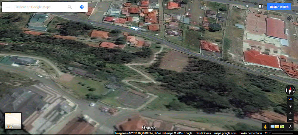
A crude view of the Turi climb. (Can't find nothin better.) About a million times tougher than it looks.

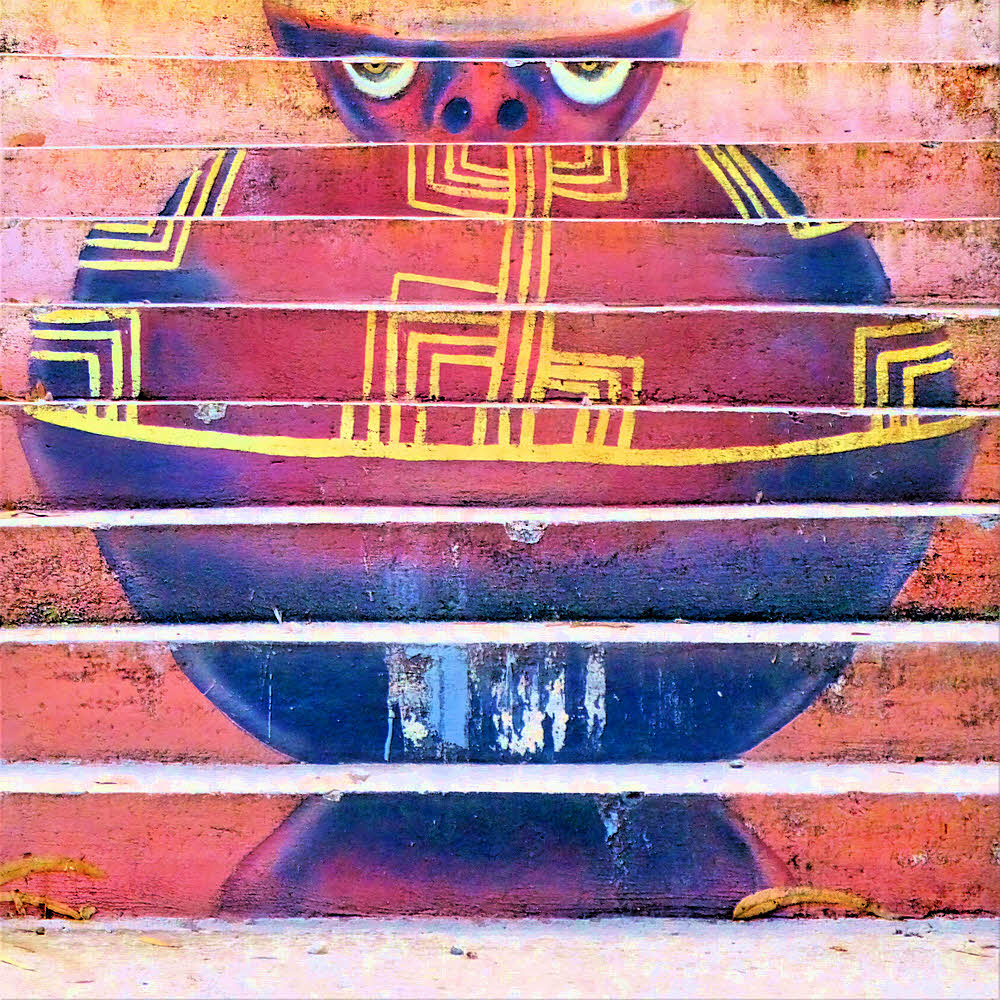
The Stairs. The Real Climb. Death On A Stick. Pant-O-Rama. The Ascent Of Endless Pain. Around 500 feet up and no one to get 'er did but you and you feets. You there, with the legs and the attitude: Take this, Smartass. Just try.

So you do.

And after you've been there a few times (up once, down once), you think about doing two laps. Up once, down once, up again, down again or die puking. And then, later, you wonder about doing three laps. Hey, since you're already there...

You know. Life — something you do to kill time while waiting to die. Relieves parts of the boredom and whatnot and it's exercise.

So if I can't get out and do real hikes, or go backpacking right now, at least I've got this.

OK, sure, I should have friends and do stuff but I'm a dick, remember? So I don't get out much. I'm awkward, like a turd at a pizza party. No good at hanging out with other people and enjoying life. Haven't found them other people that gotta be here somewheres that I can do stuff with. I do know a couple of cats around here, and they're nice, but they've been avoiding me lately too, and one bites, but without them I'd have no friends at all, so I just suck it up and carry bandages when I go a-visiting.

I'm mostly deaf too. Did I mention that? On top of the rest I'm mostly deaf now too.

Yeah, right. More fun stuff. Mister Dick-O-Rama.

Woke up May 15, 2012 and my left ear no longer worked. I happens. Leaving me with my right ear, which is only slightly more useful for hearing with than a rusty shoehorn. So I'll never be any good at Spanish, or even at learning Spanish, which makes me even more of a dick whenever anyone on the street stops me and asks for directions, or just the checker at Coral or SuperMaxi trying to be helpful, and saying something, or asking me something, and I'm standing there like an ugly (though tiny) moose, with my tongue hanging out, all puzzled-looking and dopey. (Tiny — at least I'm not ugly and huge. Then again, neither is a tapeworm and you know how much fun they are.) And with moose, you know, you never know, even with the small ones, so I scare people once they catch on that I'm not actually a reasonably predictable human thing. So life in paradise. Ain't all you'd expect sometimes. For me nor them.

Somebody's working on setting up a Hash House Harriers chapter here, and that might help. "Drinkers with a running problem," they call themselves. Active people. I can't run (back problems) but I can walk like crazy, so maybe I could fake it. We'll see. No matter how fast they try to run away, there I'll be, coming up the backstretch. There's always hope, even for me. Woot!

Does anybody say Woot! any more?

Maybe just me.

Later then, if you haven't had enough yet. Maybe see you on the steps.

(Anything here you don't understand besides me, it's on Wikipedia.)

P.S.: Hey! Wanna go hiking sometime? Just kidding. Ha! Bite me.

Bye.
Saturday, February 28, 2015

Port Angeles Morning

A bit nippy on the tits today.

But picturesque.
Wednesday, December 3, 2014

Definitions: Backwater

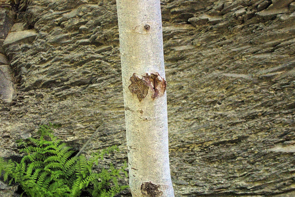
If it tastes bad, maybe there's a reason for that.
(1) As with so many problems, this one can be caused by food. Too much food, food too raw, dirty food, food too ripe, the wrong kind of food and the like. We could go on, but right now, if you have this problem, you don't want to hear any more about going, let alone about gurgling, rumbling, spewing, spraying, trotting, running, doing the two-step, or telltale stains on your pants. Backwater is a sign that your body has something going on that shouldn't be going on, and is trying to get rid of it, and will keep doing that, and that you need to pay attention. Because, really, no one else will want to even think about it.

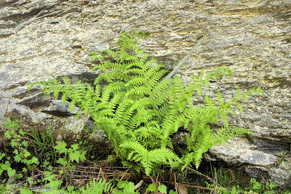
(2) Where there is water, and it is flowing, or could flow if it wanted to, and there is a channel, then probably there is also a little bit of water in what looks like a sort of appendix stuck onto the main channel. This stuck-on channel probably doesn't have any current at all, and sometimes it is only damp earth, with no real water in it. That's a backwater kind of place, so it's called a backwater. This is where mosquitoes come from, and in-laws.

(3) A resupply town. Nirvana. Metropolis. Civilization. Maybe it's a backwater compared to where you came from, but right now, with you out of food and fuel and looking for a post office and a bed, it's The Big City. Especially if it has pizza and beer, ice cream and beer, or just beer.

Wednesday, May 28, 2014

Lava Canyon 02: May, 2001

The geezers re-emerge.

One nice thing about a day hike is that you don't need to perform. You go, you look, you relax, and then you're home again. Same deal hiking with people who have already earned their scars. They have nothing to prove. They're relaxed. They get it. They know lots.

Take Paul, for example — a retired forest ranger. His last post was way north, in Washington State's Pasayten Wilderness. He has decades of knowledge to draw on, and shares it. When he speaks, you do well to listen first and move your mouth later, if at all.

So we had a good tramp down the valley, noodled around in the flats, had lunch I guess, talked, checked the maps, looked for this feature and that, and before anyone got tired or owly or anything else, we decided to turn around and go back. Done.

Once again, from the bottom of the valley, it's possible on most days to get a really good look at the top of Mt St Helens, and that deadly notch where the lahar cut loose. Without it, there would still be a Lava Canyon, but it would still be quietly ruminating, unseen, a good hundred feet (30 m) below grade and not open to the sky.

Once back on the east side of Muddy River we took a final look at the bridge piers. You can get some sense of scale. The steel legs are around 15 feet (5 m) high, and the bridge itself was roughly 100 feet (30 m) long, but a winter's flood simply washed away the east and west banks and left the bridge unharmed but isolated, which is why it was moved elsewhere.

It's events like that which show the real power of water. Other clues are the number of people who have died there, at the top of the canyon. One or two a year. People don't realize how a simple misstep can change everything. The last case I heard of was a family of three. The parents let their young child wade in Muddy River way up top where it collects itself as it hits the topmost rocky funnel. First the water is rapid but pleasantly fresh and clean, and shallow. If a child, however, slips and falls, it is instantly carried into the rocky sluice, whipped left, whipped right, and then shot over the canyon's first waterfall.

That's what happened. Water foams and churns in the smooth channel, slipping and sliding, ripping the body along, offering no hand-holds to even a strong adult, and within three or four seconds it is a case of death on the rocks, as it was for this child. But hearing this, seeing this, the father jumped in after his son. He too died. Two bodies smacked and smashed on the unforgiving rocks within a few brief eyeblinks one sunny, warm, lovely afternoon.

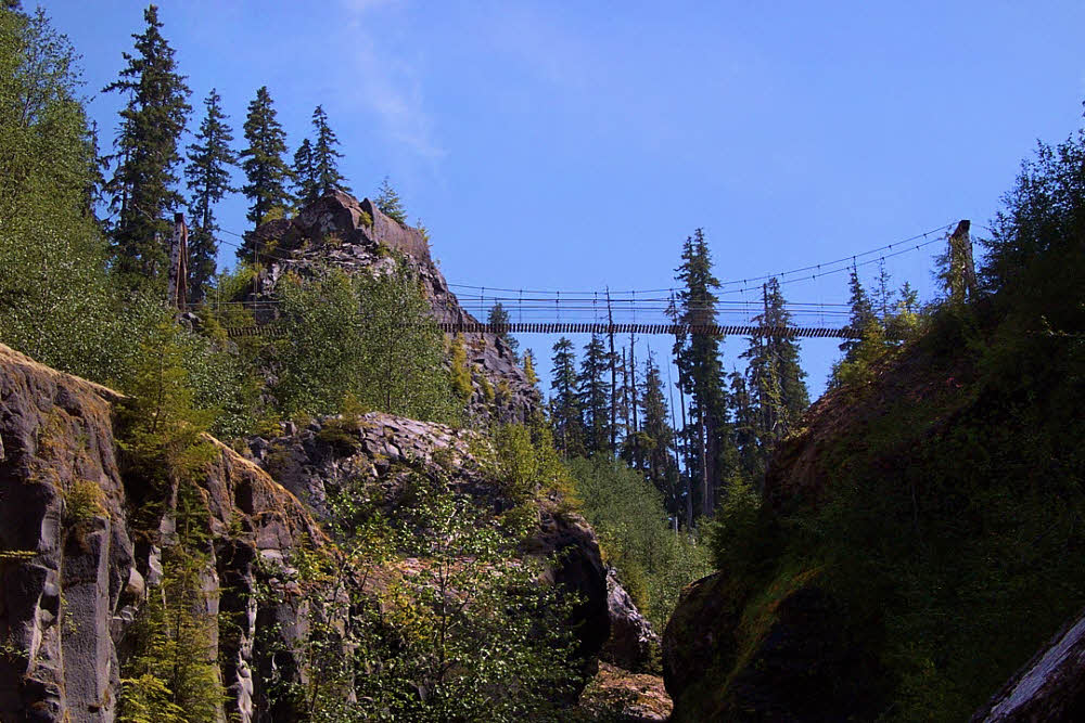
And it could have been any of us that day, the day of our hike. But it wasn't. For us it was another sunny, warm, lovely afternoon, without death. We hiked in shade up the canyon's trail, through bright green alder, eyed the suspension bridge from below, a view which shows just how high it is, came to the bridge, crossed it, and moved into the second flat area of Lava Canyon, its top, where we had started.

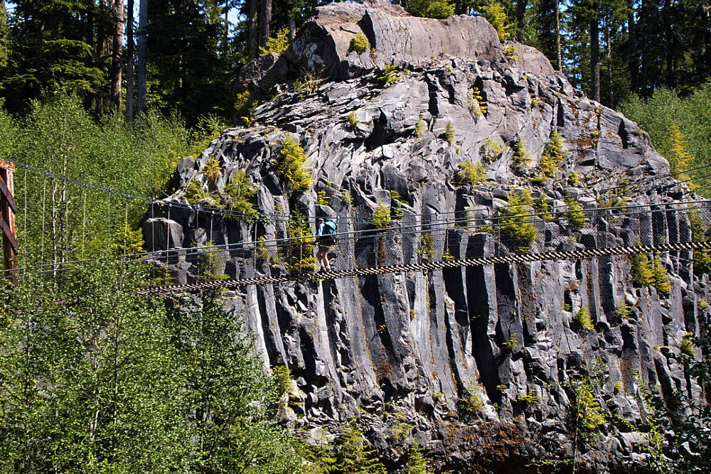
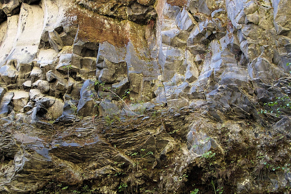
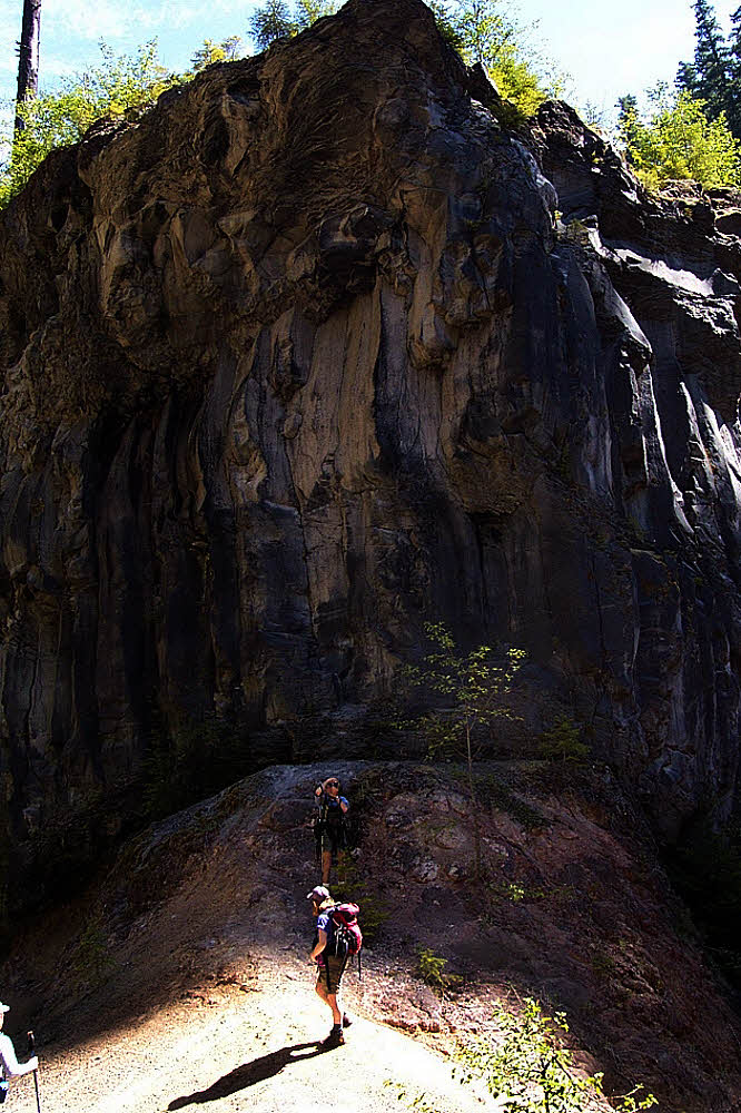
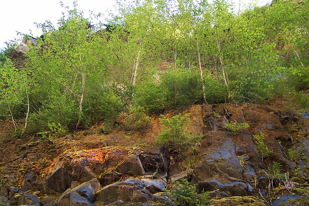
There is a lot of geology there that I didn't capture that day. Most of my photographs are long gone, discarded when I moved away to another continent, and could not carry boxes full of color transparencies. But the geology is there. The first post shows trees growing on the side of a basalt fin. There are several of those there, and shady lanes along their sides, places where sunlight seldom directly falls. Places rich with soft vascular plants, and softer mosses. With an occasional dry rocky chute, waiting for its chance to join in the fun.

And about that second flat — once again, if you pay attention and don't tempt fate, you'll find that it's full of places to sit and freshen up, to look into, to explore. See the bridge in the background? The last time I was at this place, around 2005, there was only a bit of twisted metal left, it's far end, I think. The rest of the bridge had been hit by flood. I'm guessing it was a flood carrying logs that rammed the bridge and tore it to bits, leaving only its anchors buried in the rock, now useless.

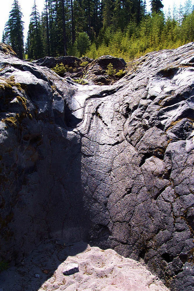
And that pool there, on this side of the bridge? In the lower right of the photograph? That's where the five-year-old boy was playing before he slipped and went horizontal. Right below that pool the current's speed doubles or triples, at least, and the water flows into a rounded chute. By the time it reaches the bridge (or where the bridge was), the water is several feet deep — at least three or four (around one meter). And immediately makes a sharp left turn, but by then it doesn't matter. Nothing matters by then. The story's end is too close to comprehend. Would happen almost too fast to see.

But on a nice day, it is a nice place. There are other channels, unused at the moment, ripe for a little pleasant exploring, a little padding-around on, with their sandy bottoms. Capable of inspiring more than a little wonder.

And overhead, the sky, which understands everything, which has to understand everything because it has to see it.

So all in all, it's a place. It is what you make of it. But being human, and being impressionable, you would enjoy it. I think you would. If you come quietly and pay attention to what it is and what it is saying. Which is that this is a place that has seen great violence, but is also a place of great beauty. If you wish to see it.

The first post in this series was published on 14 May 2014.

Wednesday, May 14, 2014

Lava Canyon 01: May, 2001

Stumping with geezers.

There's nothing like a day hike to make you glad you got out of bed, especially if it's a day hike to one of the most interesting places on earth. That's how I feel about Lava Canyon on the northeast side of Mt St Helens. It's only a short walk from the paved parking lot to the head of the canyon, where the wonder begins.

Things have changed since 2001. Too many people died there. First the area was closed off for a while, then crews came through and put up railings everywhere, then there was a massive winter storm which smashed and ripped out the uppermost bridge, damaged the suspension bridge farther down, and destroyed whole sections of the trail.

But for someone willing to exercise basic caution, this was nearly paradise, at least in what I can think of now as the early days.

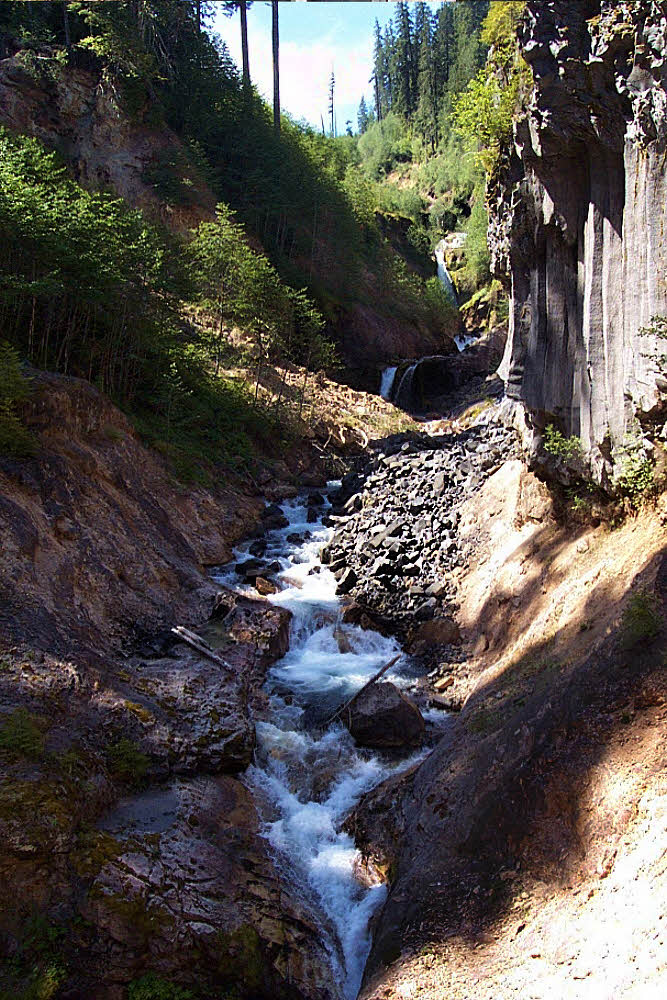
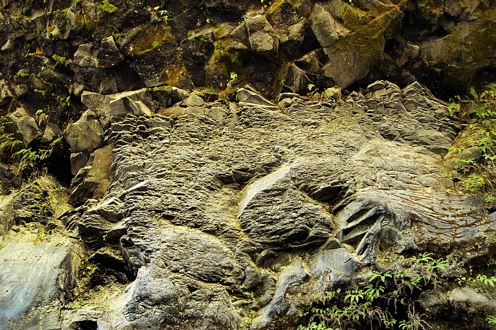
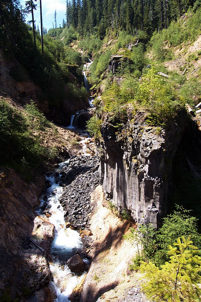
Basalt is the main feature. Add water, and time, and you get serpentine watercourses and smooth-shouldered waterfalls. These were hidden for centuries until an earthquake following the May 18, 1980 eruption caused a landslide, which triggered a lahar, which scoured the valley of Muddy River down to bare rock, and revealed what is now Lava Canyon.

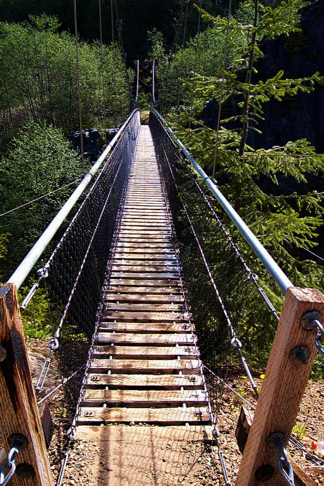
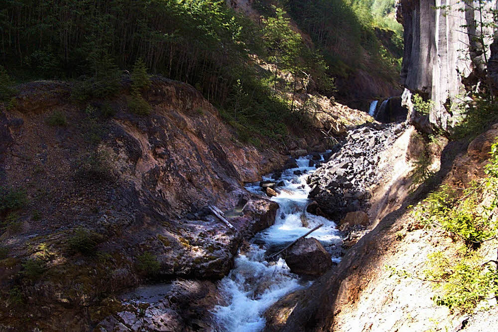
You start at the top, naturally, work your way past the first bridge, stomp across the suspension bridge with the soles of your feet at least 50 feet (15+ m) above the river below, and continue down-valley. Along the way you pass waterfalls, plunge pools, cliffs, thickets, beds of horsetails, trickling streams, quiet groves.

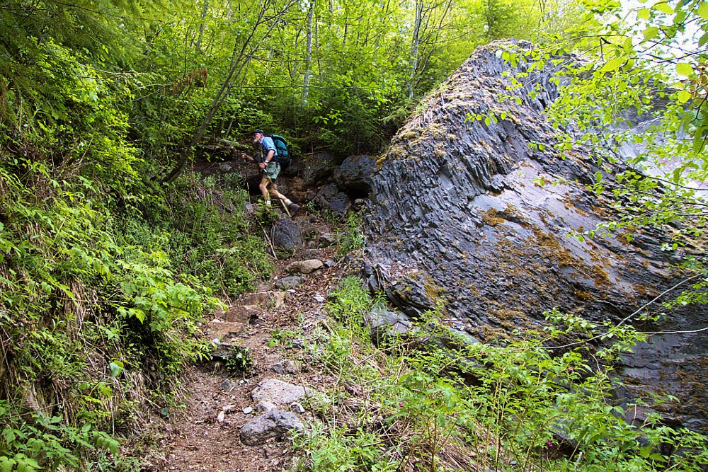
Farther down the canyon you separate from the river, then climb down a high steel ladder set into a cliff face. At this point you are among monoliths. There are three. The largest and farthest downstream has its own steel ladders that allow you to ascend it and stand on its top.

This is Steamboat Rock, and once on it you can backtrack upstream, along its narrow height, and hang your toes over the edge. It's a great place for photos. Again, if you keep your wits with you.

From there, if the height doesn't get to you, you look up and see waterfall after waterfall chasing their neighbor's tails upstream.

And that is fine enough, but there are more cliffs along the trail, bushy with ferns and damp, colored, cool in the shade.

And stands of alder reaching up toward the sky above the canyon.

And eventually, about two miles (3+ km) downstream, the canyon levels out. Suddenly, almost without warning, you go from a narrow wonderland to desert. Desert on your right, but deep forest on your left. There are in fact places where you can walk 15 feet (5 m) and go from flat desert to rain forest. Not quite rain forest, not exactly, but close. You step into the cool shade of moss and ferns, where when the sun shines, it shines only filtered by hundreds of protecting branches.

And after the canyon flattens you can look westward, up Smith Creek, and see the mountain itself. In the photo on this page you see a notch. That notch birthed the lahar that scoured Muddy River and revealed Lava Canyon. It actually looks more impressive from below, even if partly hidden, than from the vacant flats above, even though they lie directly beneath it, because the light is always too flat there, and there is no room for imagination.

Even out in the desert in the flats along Smith Creek there are trees. Probably a lot more trees now. I haven't been there for 10 years. I know it's changed, but even so long ago there was always some kind of shelter from the sun, though not enough shelter to deal with wind. It was, after all, an open place, and vulnerable to all weather.

And though there had once been a fine steel bridge over Muddy River at its confluence with Smith Creek, that was hauled off, upstream, after floods took away the lands that it connected. But in 2001 there was a decent little log-and-plank bridge in its place, and that did the job.

Since I haven't been there in years, I don't know what shape this trail is in now, but it is worth seeing. Only 2.5 miles (4 km) long, the trail hardly seems worth the effort, until you go there. I've spent many full days in this canyon with a camera and tripod, completely lost to time. Worth it.

The second and final post in this series will appear on 28 May 2014.