Stumping with geezers.
There's nothing like a day hike to make you glad you got out of bed, especially if it's a day hike to one of the most interesting places on earth. That's how I feel about Lava Canyon on the northeast side of Mt St Helens. It's only a short walk from the paved parking lot to the head of the canyon, where the wonder begins.
Things have changed since 2001. Too many people died there. First the area was closed off for a while, then crews came through and put up railings everywhere, then there was a massive winter storm which smashed and ripped out the uppermost bridge, damaged the suspension bridge farther down, and destroyed whole sections of the trail.
But for someone willing to exercise basic caution, this was nearly paradise, at least in what I can think of now as the early days.
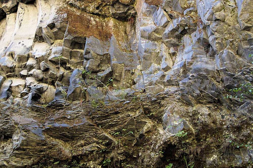
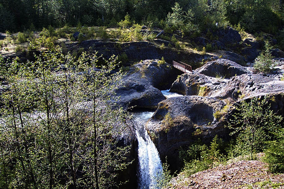
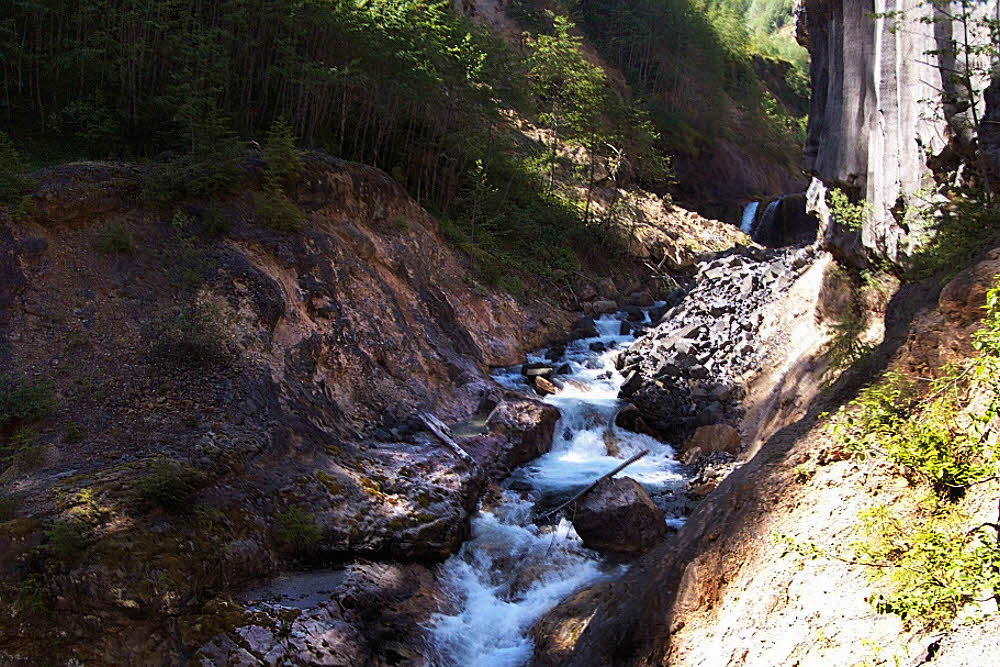
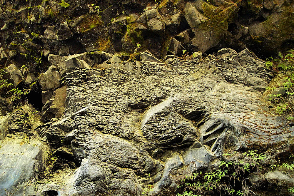
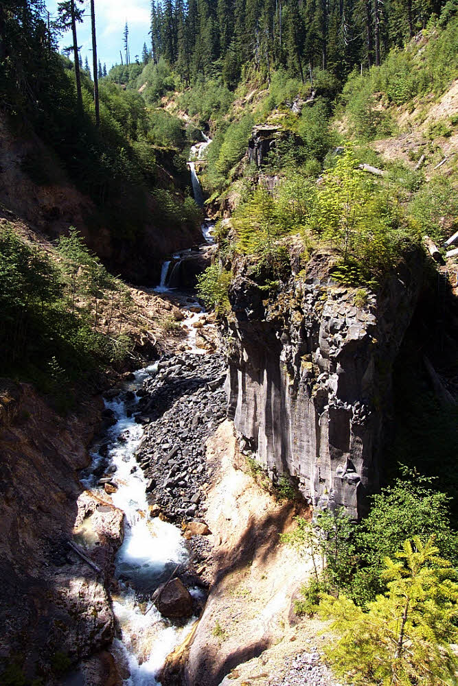
Basalt is the main feature. Add water, and time, and you get serpentine watercourses and smooth-shouldered waterfalls. These were hidden for centuries until an earthquake following the May 18, 1980 eruption caused a landslide, which triggered a lahar, which scoured the valley of Muddy River down to bare rock, and revealed what is now Lava Canyon.
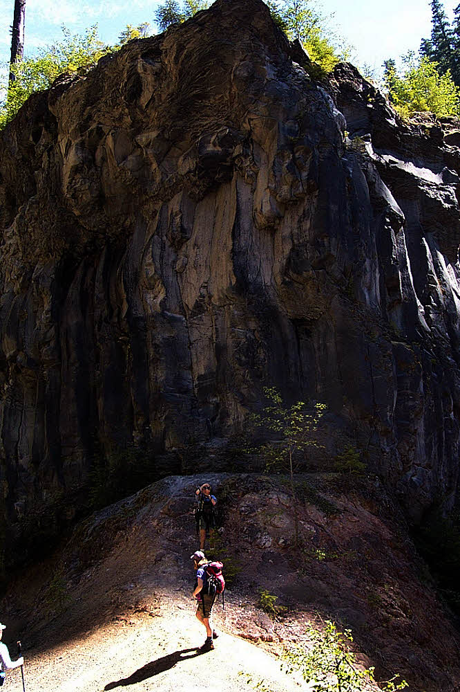
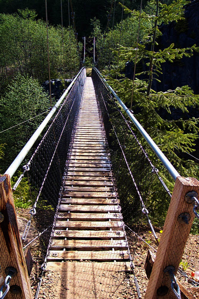
You start at the top, naturally, work your way past the first bridge, stomp across the suspension bridge with the soles of your feet at least 50 feet (15+ m) above the river below, and continue down-valley. Along the way you pass waterfalls, plunge pools, cliffs, thickets, beds of horsetails, trickling streams, quiet groves.
Farther down the canyon you separate from the river, then climb down a high steel ladder set into a cliff face. At this point you are among monoliths. There are three. The largest and farthest downstream has its own steel ladders that allow you to ascend it and stand on its top.

This is Steamboat Rock, and once on it you can backtrack upstream, along its narrow height, and hang your toes over the edge. It's a great place for photos. Again, if you keep your wits with you.

From there, if the height doesn't get to you, you look up and see waterfall after waterfall chasing their neighbor's tails upstream.
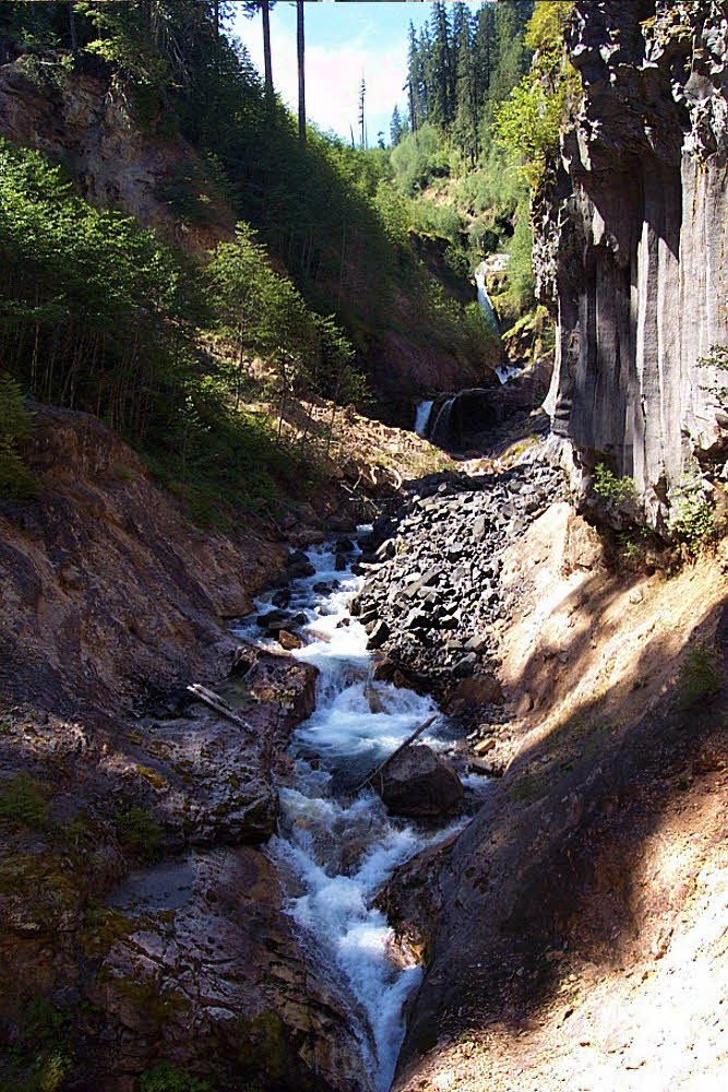
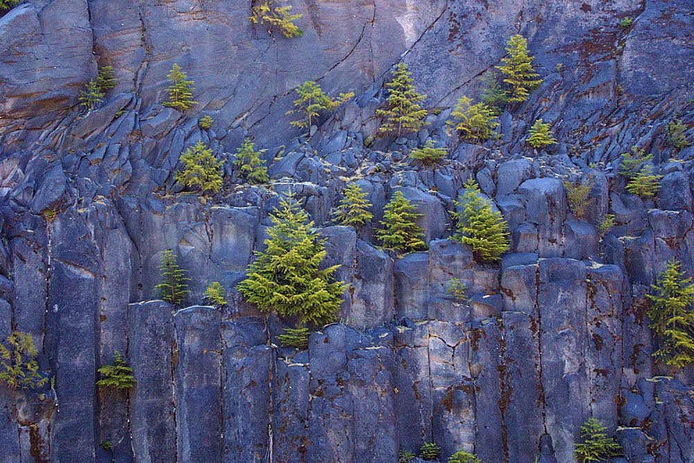
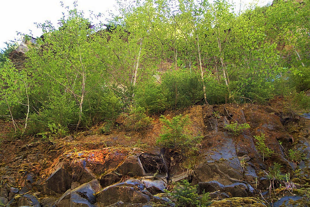
And that is fine enough, but there are more cliffs along the trail, bushy with ferns and damp, colored, cool in the shade.
And stands of alder reaching up toward the sky above the canyon.
And eventually, about two miles (3+ km) downstream, the canyon levels out. Suddenly, almost without warning, you go from a narrow wonderland to desert. Desert on your right, but deep forest on your left. There are in fact places where you can walk 15 feet (5 m) and go from flat desert to rain forest. Not quite rain forest, not exactly, but close. You step into the cool shade of moss and ferns, where when the sun shines, it shines only filtered by hundreds of protecting branches.
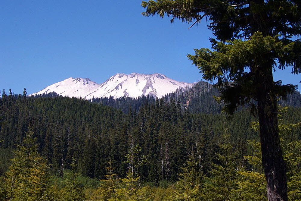
And after the canyon flattens you can look westward, up Smith Creek, and see the mountain itself. In the photo on this page you see a notch. That notch birthed the lahar that scoured Muddy River and revealed Lava Canyon. It actually looks more impressive from below, even if partly hidden, than from the vacant flats above, even though they lie directly beneath it, because the light is always too flat there, and there is no room for imagination.
Even out in the desert in the flats along Smith Creek there are trees. Probably a lot more trees now. I haven't been there for 10 years. I know it's changed, but even so long ago there was always some kind of shelter from the sun, though not enough shelter to deal with wind. It was, after all, an open place, and vulnerable to all weather.

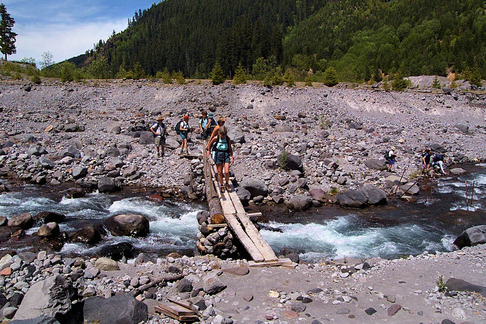
And though there had once been a fine steel bridge over Muddy River at its confluence with Smith Creek, that was hauled off, upstream, after floods took away the lands that it connected. But in 2001 there was a decent little log-and-plank bridge in its place, and that did the job.
Since I haven't been there in years, I don't know what shape this trail is in now, but it is worth seeing. Only 2.5 miles (4 km) long, the trail hardly seems worth the effort, until you go there. I've spent many full days in this canyon with a camera and tripod, completely lost to time. Worth it.
The second and final post in this series will appear on 28 May 2014.