Last installment in a four-part series.
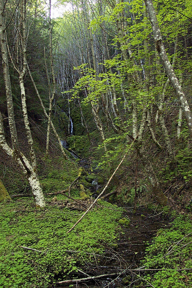
Little anonymous stream coming off the mountain. There were several of these gems along the south side of the valley.

Doofus (me!) coming back down the trail — the old logging road.

Another creekside view.
Looking back west toward Ape Canyon. Later in the day — the shadows were beginning to lengthen.

Looking right or north-ish toward Smith Creek. You can see the stained stones, but the water was clean, clear, and good.
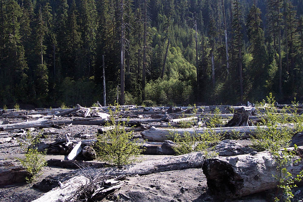
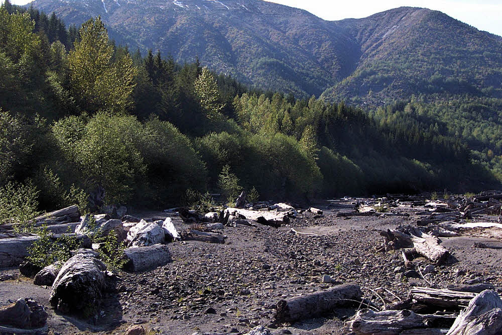
Mid-valley with a view toward the south side across the 21-year-old debris from the May 18, 1980 blast.
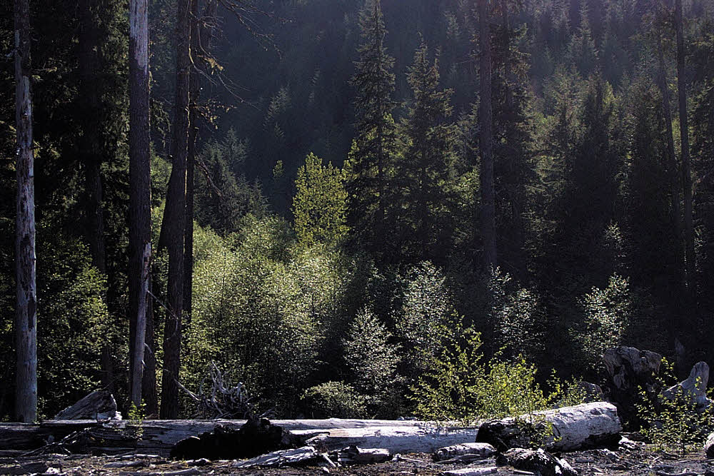
Racking out the camera's little lens to the max, in the same area.
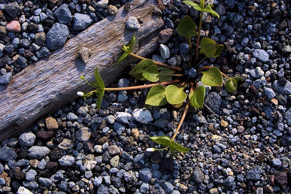
In the streambed there's always some kind of life.

Given half a chance, it bursts into bloom and hopes fore the best.
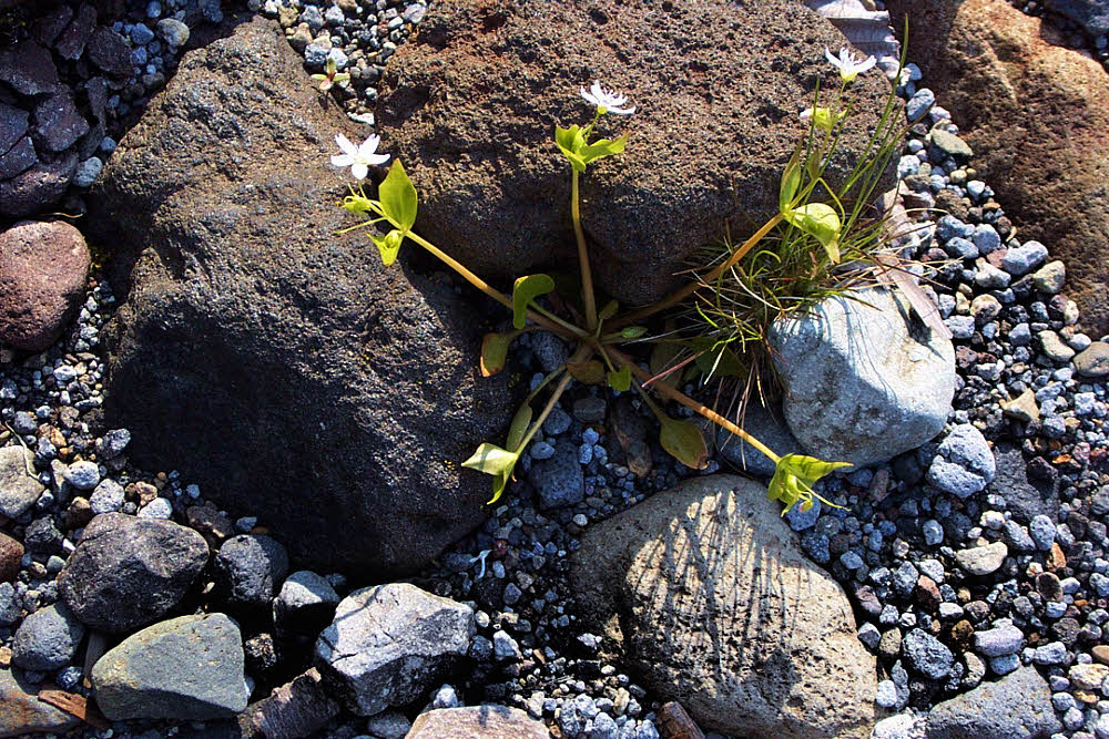
And again — it's no fluke. Life advances.
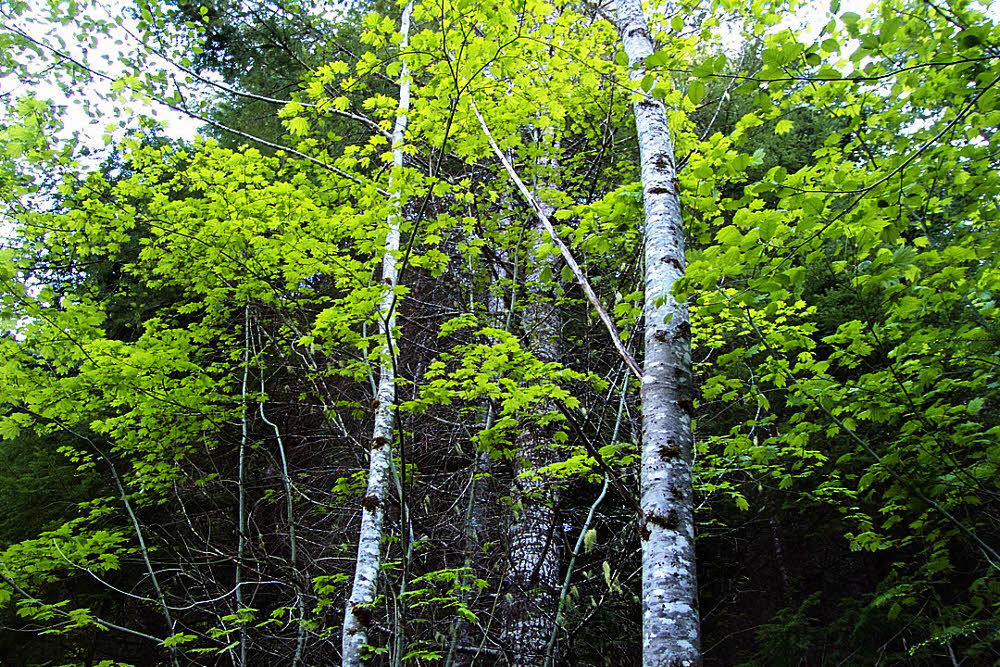
Meanwhile, back on the trail, or the road if you prefer, the alders were busy putting out fresh bright green spring leaves.
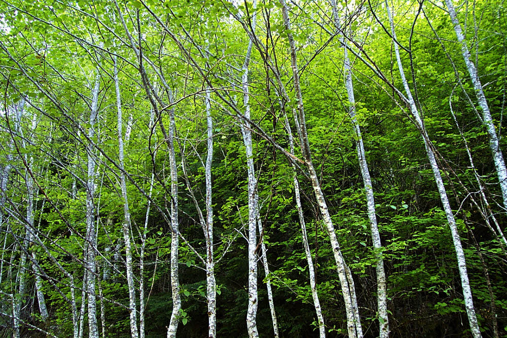
All over.
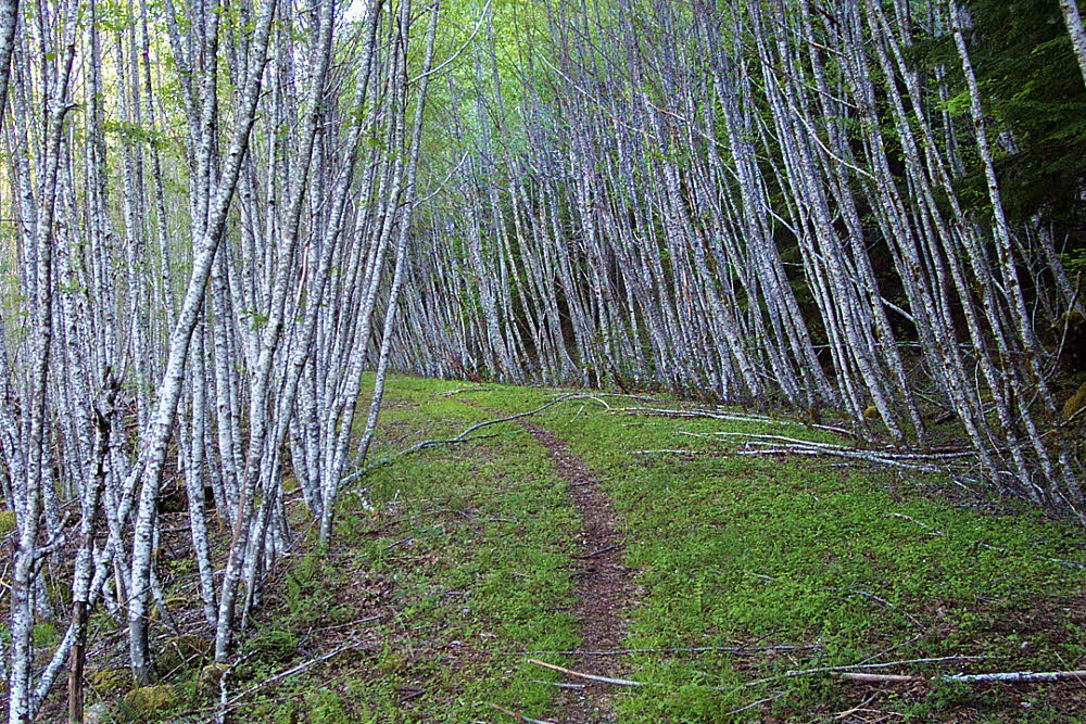
One of my favorite-ever sections of trail. Too bad it didn't go on for more than a half-mile (0.80 km), but it was always a great treat, especially early in the year.

As a reminder of how lush parts of this area were, another creek came off the mountain to greet me.

A last look west up the old road toward the mountain.

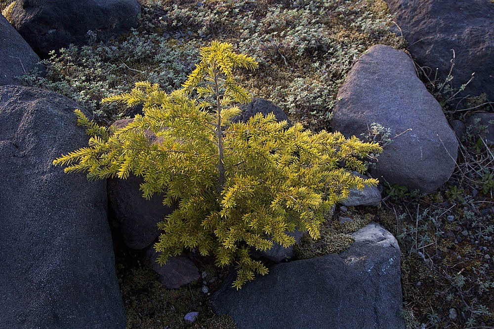
And at your feet, if you bother to look, more beauty and hope.

But, taking a peek downstream to the east, you get yet another kind of reminder — this area was handled roughly, and it showed.
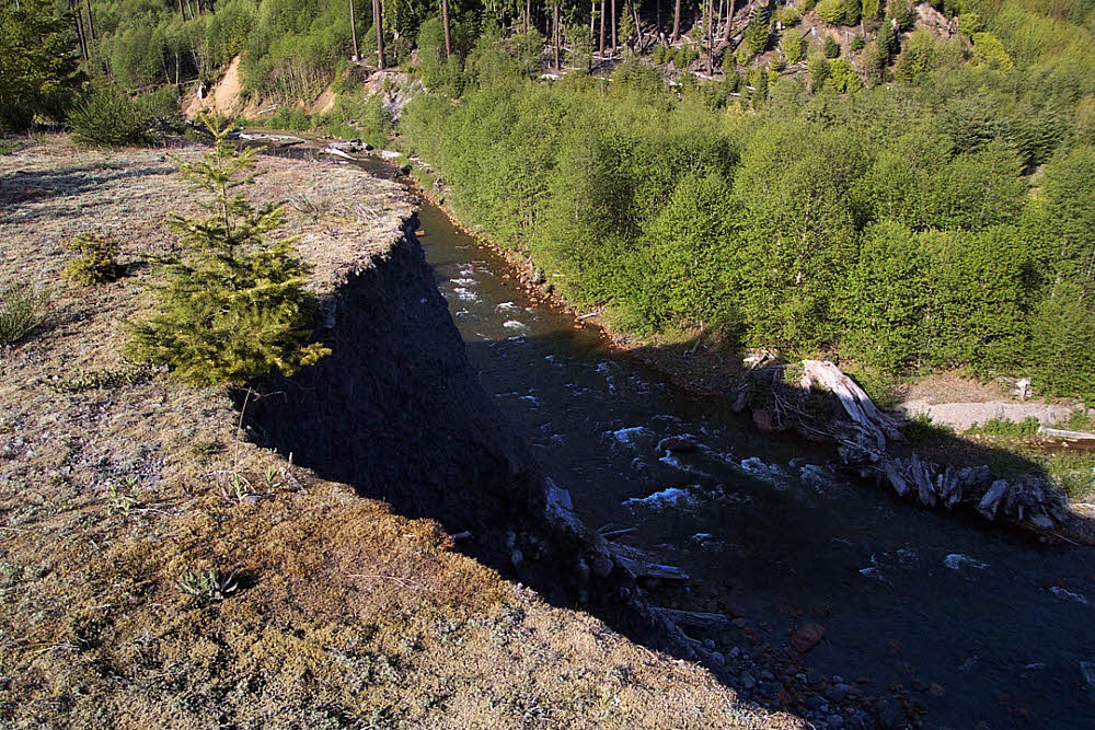
Actually, early on during my first few years of scouting the area, it was pretty nice. Everything seemed to be worked out. A whole lot of it was even moss-covered.

As time went by, though, winter storms and floods began to feel their muscle. Then they washed out roads, blasted away highway bridges, scoured streambeds, and the scars spread across the landscape.
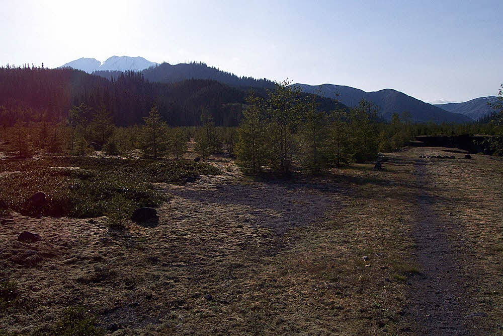
Last peek at the top of St Helens from the Smith Creek flats.
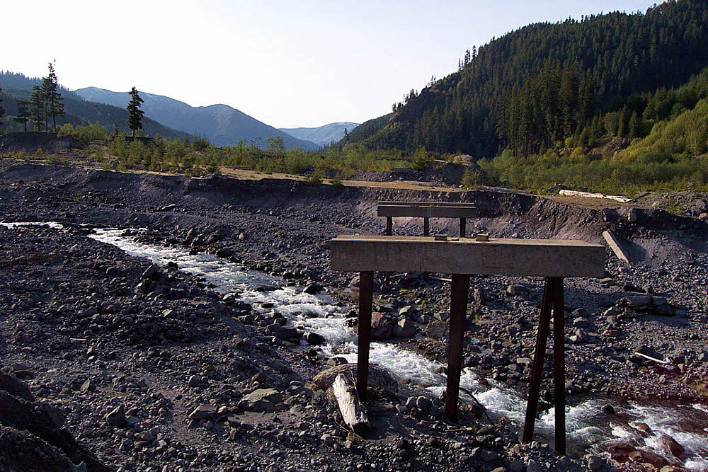
Another glance at the place the footbridge once was. Not washed away, but carted upstream by helicopter after winter floods isolated it from the land at each of its ends, leaving it disconnected.
A bit later, back up top, above Smith Creek Valley, above Muddy River and Lava Canyon, at the foot of the lahar on the mountain's east side.

Tufted grass, waiting for summer.
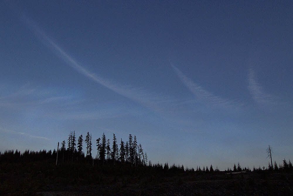
Up here, it was near sunset, with a darkening sky reaching out to cover everything.
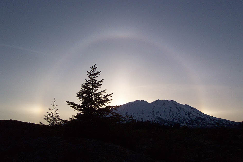
And sun dogs to end the day.
All images are from my first digital camera, a 3 mega-pixel Kodak, long obsolete and discarded.