Friday, December 31, 2010

Boundary Trail 2

So the first day of this trip was about one day's worth of hiking, plus several desperate hours more, to find a place out of the cold wind. I'd planned to tank up on water at Badger Lake and then noodle along until I found a cozy place to hang by my feet for the night, but things never go that way, so I kept hiking faster and faster as the day got darker and darker, colder and colder.

Boundary Trail 2

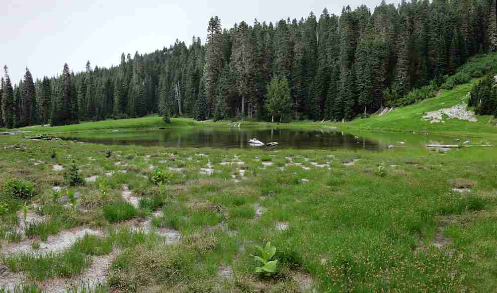
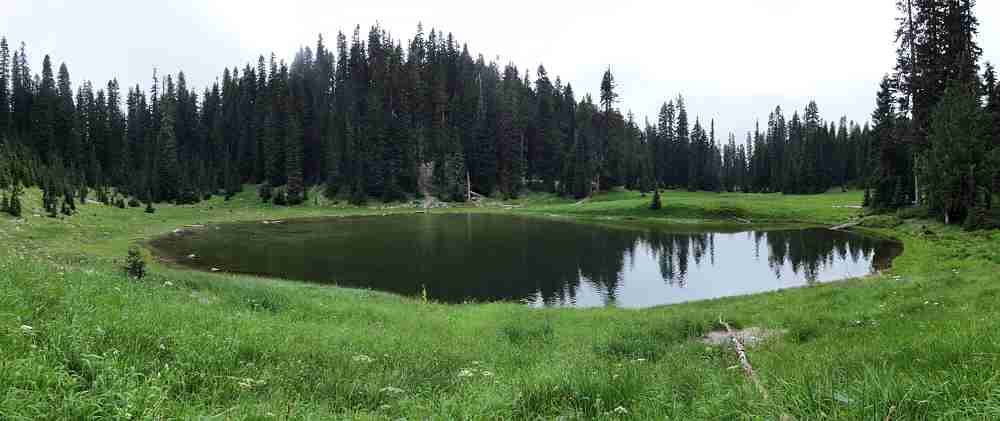
Another view of the pleasant but shallow Badger Lake.

It started fine. Sun. Calm winds. (I like that phrase. Calm winds. Like winds but not. Power completely benign and under control. But still there, waiting to get loose.)

Boundary Trail 2

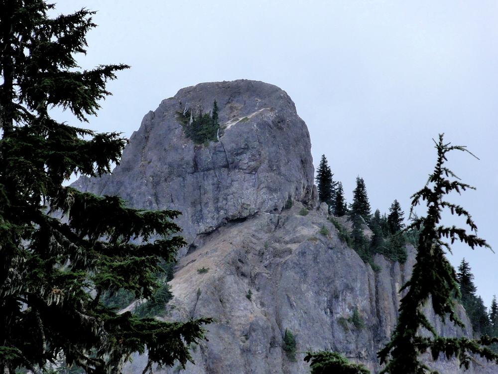
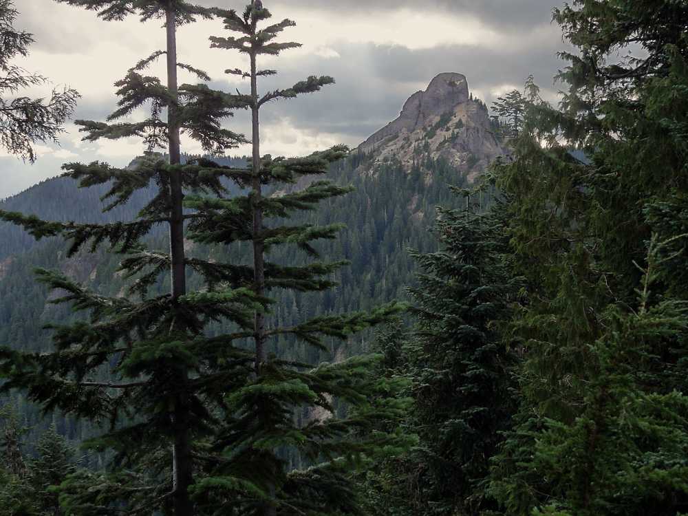
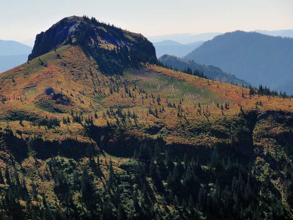
Kirk Rock, a little farther on, from the west.

Well, you know. How it goes, is, first, some clouds. You figure two, three hours before they slowly slide in and even so it's only gradual, and you expect them to thin out and evaporate as they infiltrate they sky, returning you to sunshine. Given that, it's no surprise that my clouds were on me 20 minutes after I estimated that I had at least two hours. And they kept getting thicker, and didn't seem interested in moving along and letting the sun have a chance for a change.

Boundary Trail 2

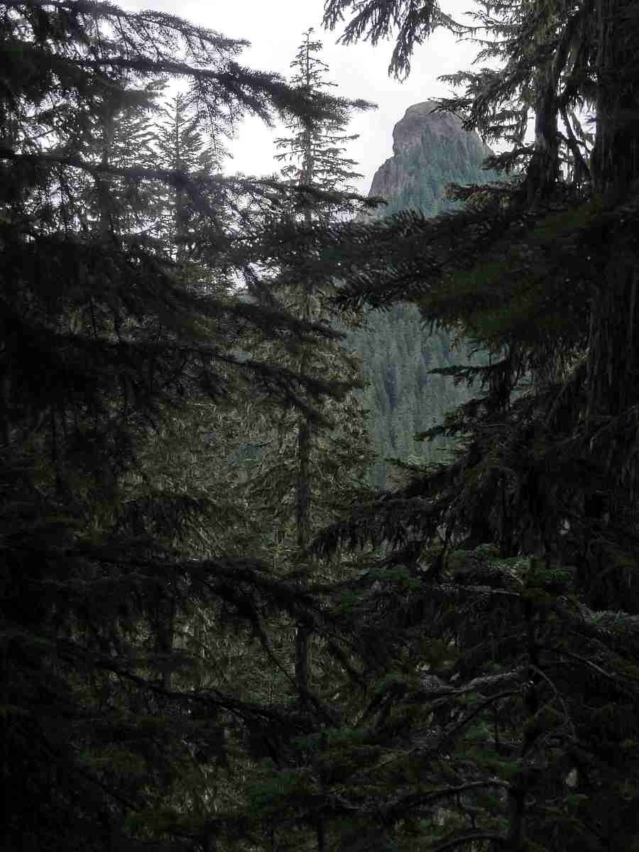
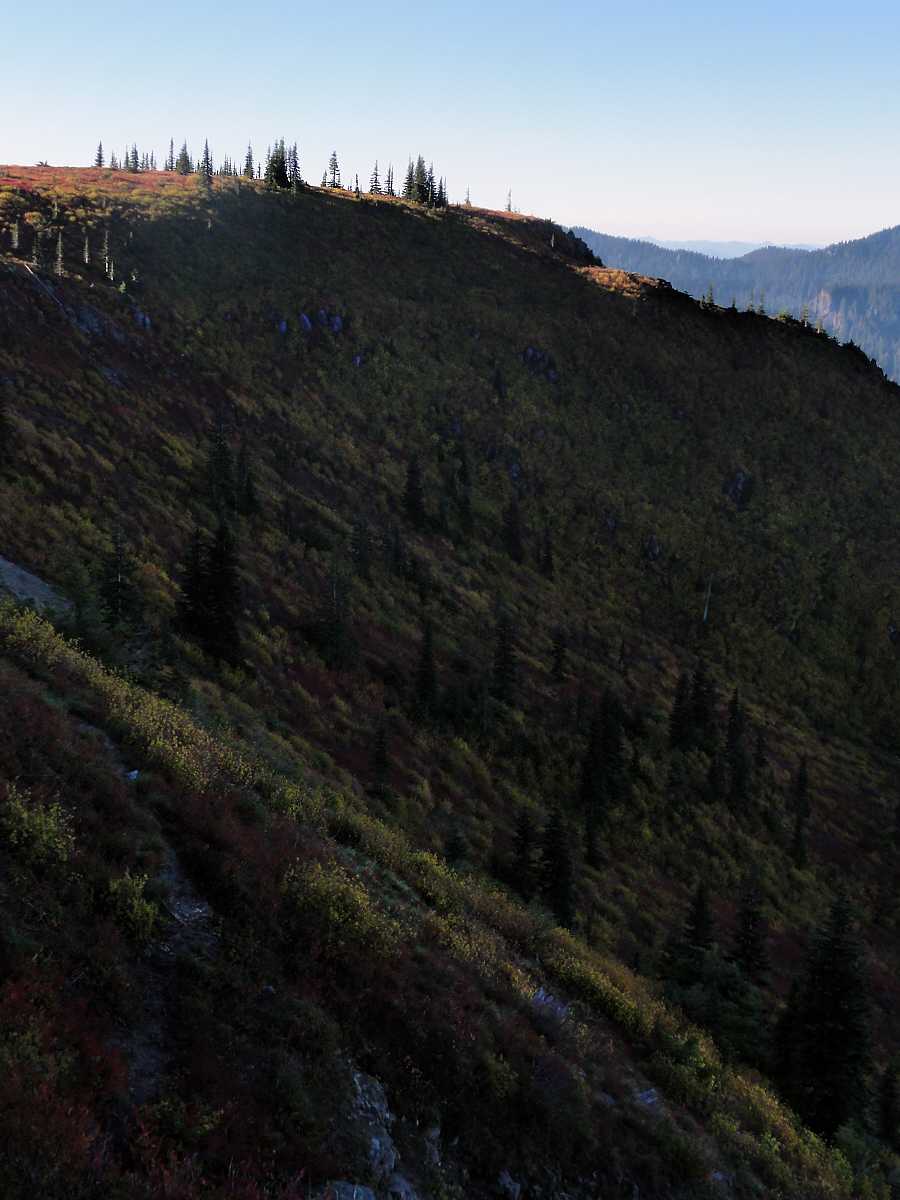
In the north armpit of Kirk Rock.

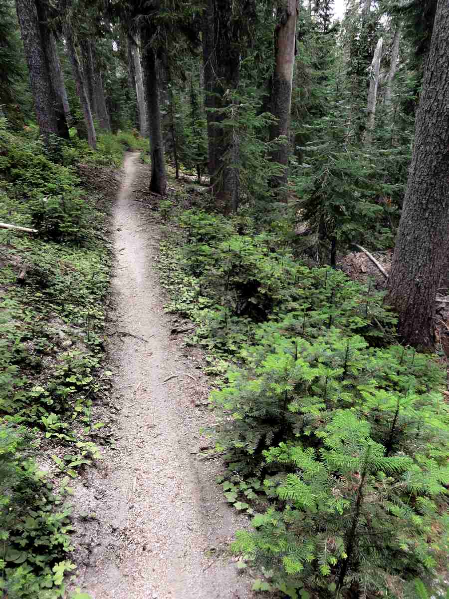
Which is why I did a lot of walking that first day. You walk out of the St. Helens Monument area, cross Road 25, and enter a quieter forest, with two water sources if you're lucky. There is a trickle a couple of miles in, and then Badger Lake, which seems like a good place to camp until you get there. Somehow it always seems to be cold and breezy, and not far enough in besides.

Boundary Trail 2

Ditto.

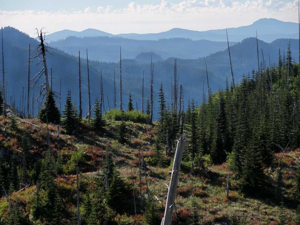
And beyond it there isn't either any level ground to speak of, if you sleep right down there on it, or any really sheltered place to hang from your hind claws. Or, um, I mean put up your hammock for the night. So that day was a long one, until finally I hit a low spot where the trail, after passing Kirk Rock, Shark Rock, and Craggy Peak, takes a turn north and down toward Yellow Jacket Pass.

Boundary Trail 2

Meadow to the north between Kirk Rock and Shark Rock.

And it so happened that at the low point I saw a flat down below, through the forest, and headed for it as the light faded. By then the day had settled into a permanent chill, under a permanently white sky, with a persistent cold westerly breeze. Dropping off the trail to the east and descending I got to the edge of a fen where there was almost no wind, and found a couple of pools where a person could get water if needed.

Boundary Trail 2

Kirk Rock from the northeast.

Water is the limiting feature in this area, so locating a source of any kind is reassuring.

Boundary Trail 2

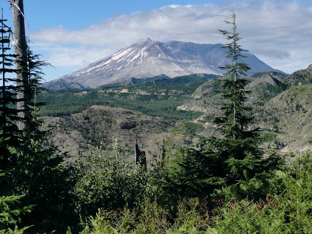
Jumbo Peak two valleys away to the northeast.

I set up camp, ate supper in the dark, and hoped for nicer weather on the second day.
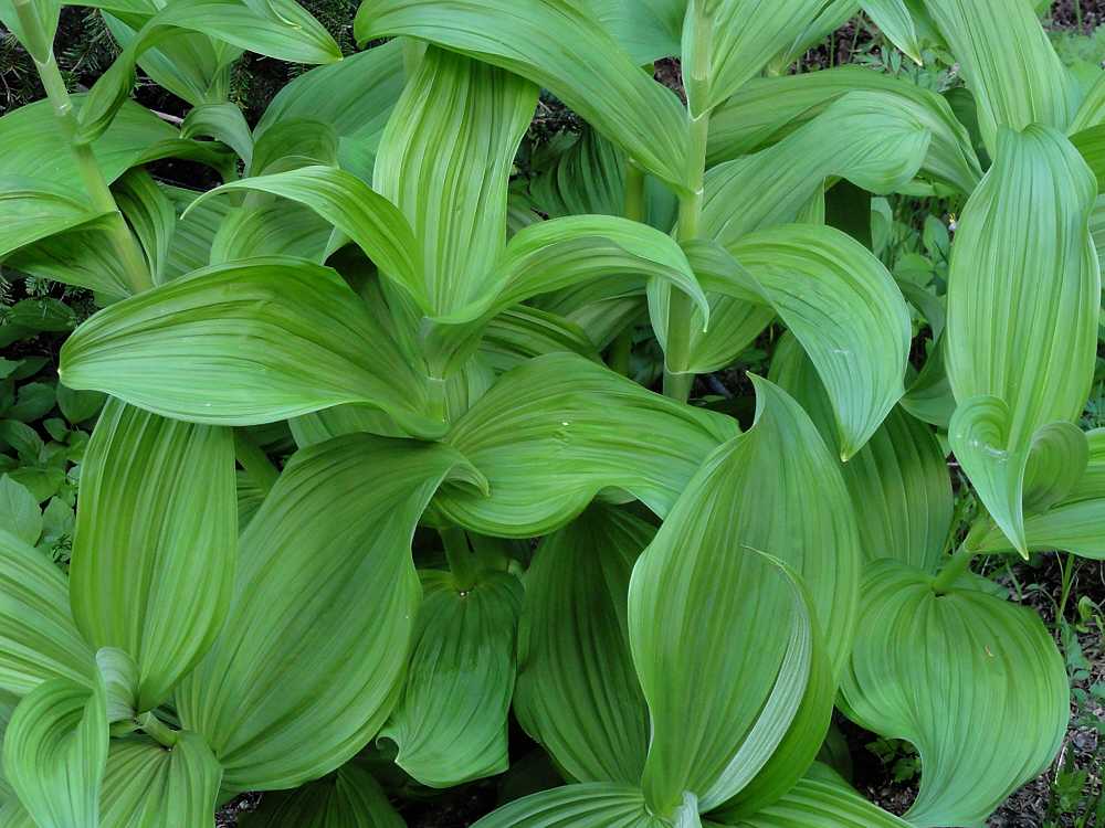
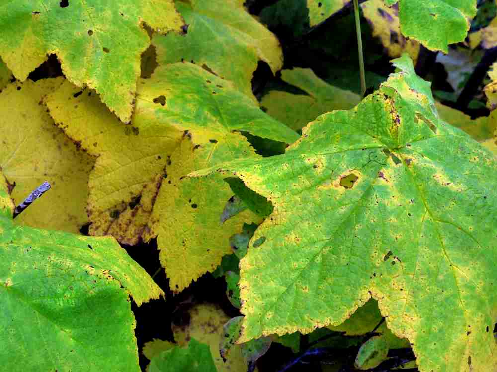
Boundary Trail 2

Corn lily.

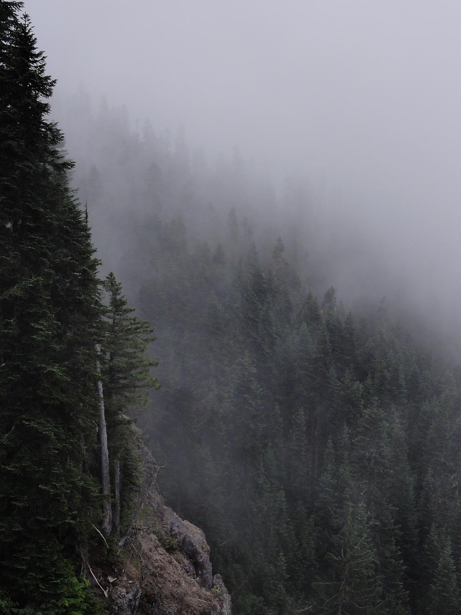
Instead I got cold fog.

Pretty, but cold.

Boundary Trail 2

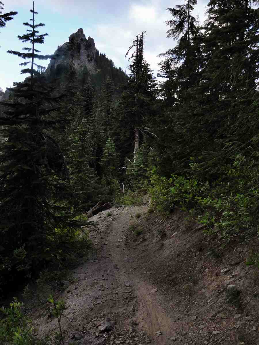
Kirk Rock from just past Shark Rock.

This was at the end of August, shortly after the snow had melted out enough to expose the trails. August is normally hot. Around here that means at least pleasantly comfy, and sometimes genuinely hot and dry, but not this year. August was barely warm, and there was still snow here and there, in places where it would normally be gone by the middle of June.

Boundary Trail 2

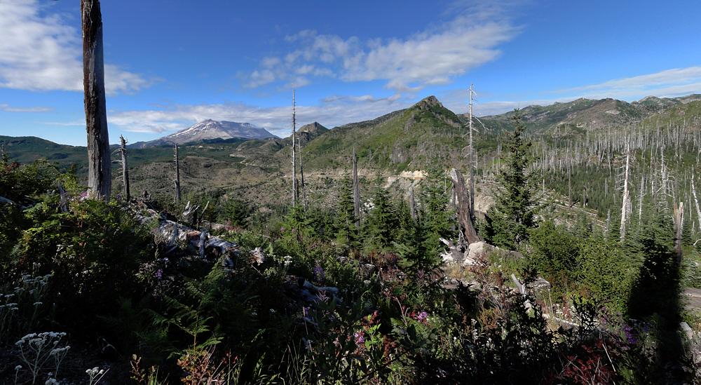
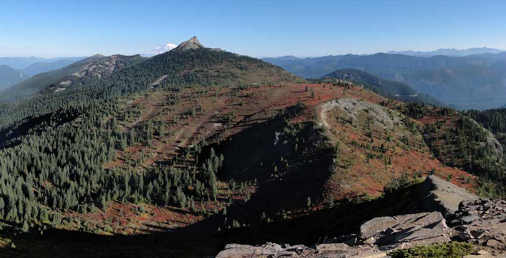
View southwest just past Shark Rock.

But it was good to be out. I had a nice, long, first day's hike, including my usual desperate sprint toward evening, and found a good place to camp.

Boundary Trail 2

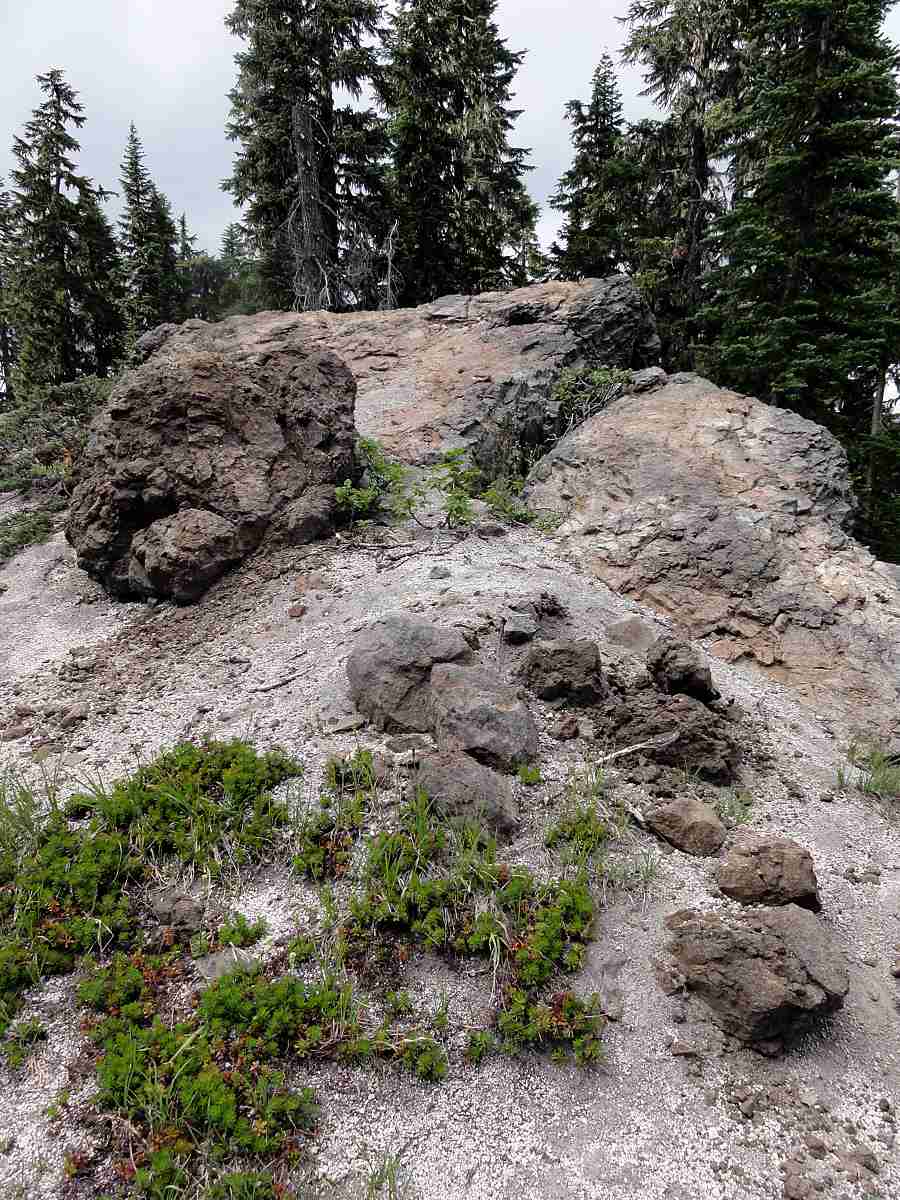
Top of Shark Rock. Up close you can't really see the fin.

The next day I climbed up the other side of the pass and descended again, into the heart of the Dark Divide.

Boundary Trail 2

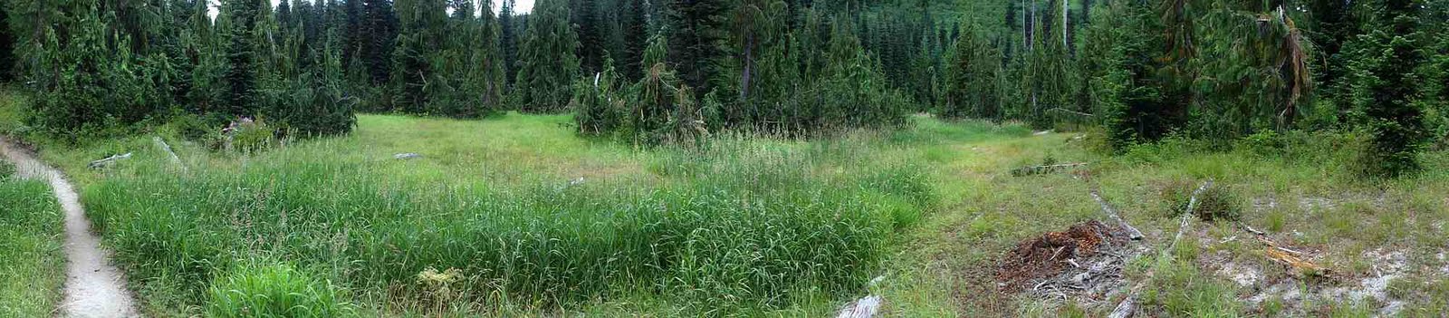
Summer in Western Washington.

Boundary Trail 2

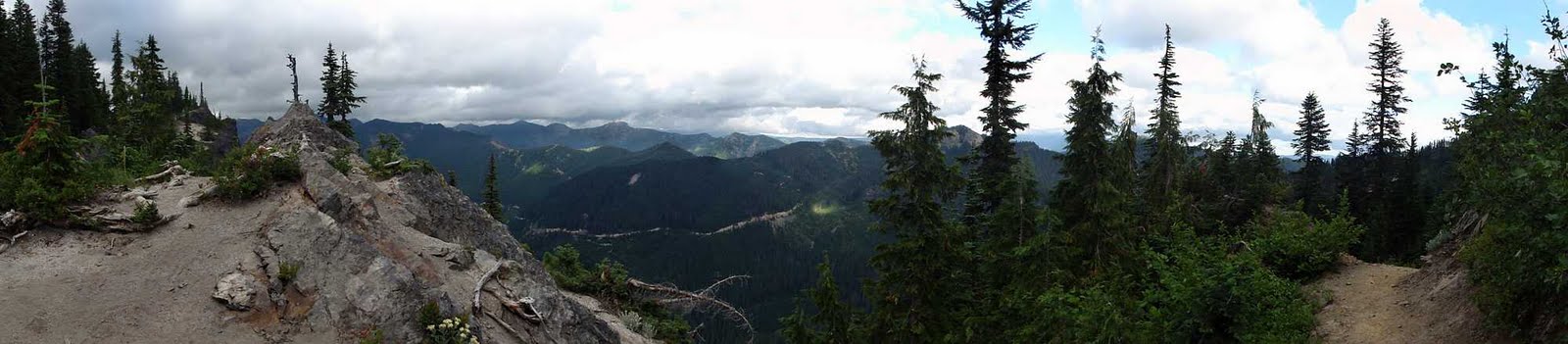
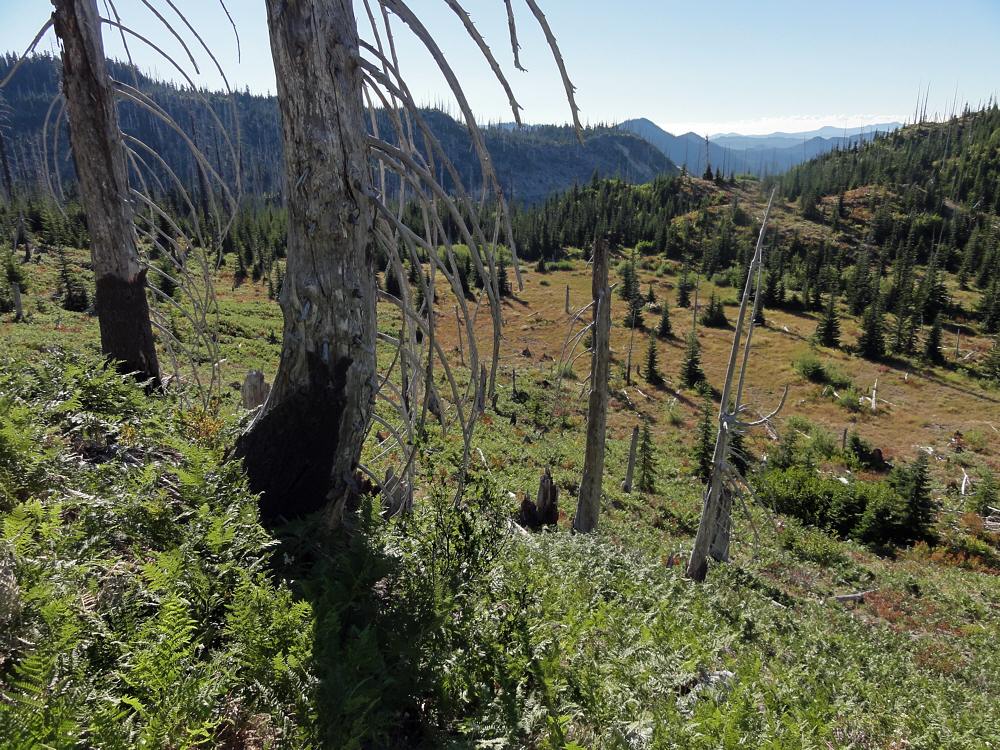
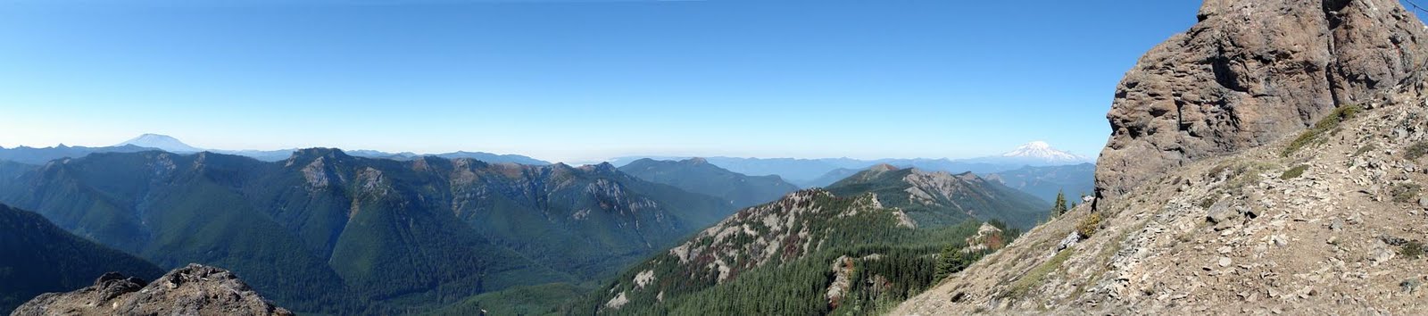
There are spine tingling views here when it's clear.

Boundary Trail 2

Close to the area where I spent the night. No rain though.

Boundary Trail 2

Early on day two. Mostly down from the high country.

Boundary Trail 2

Near a road access point where the trail splits.

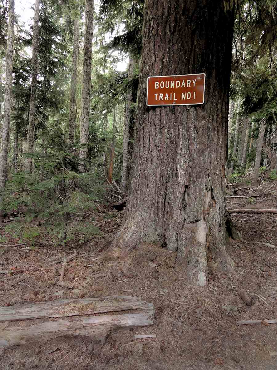
The place with the big tree with the big sign on it is where you get a flat spot to stop and rest, and think about things. You can continue east and up, toward Dark Mountain, go north to link up to the gravel road that comes in from that side, or head down a decommissioned road and a hidden trail to Quartz Creek, which is what I did. Day two turned out to be more desperate living (typical). I'll get to that next time.


More:
The first post in this series.
Boundary Trail #1, as the Forest Service sees it.
Washington, 1895, from Rand McNally


See tabs at the top for definitions and books.
Have extra info to add?
If the commenting system is out again, then email sosayseff@nullabigmail.com
Me? Probably could be worse.

Wednesday, December 15, 2010

Boundary Trail 1

An edgewise experience.

Boundary Trail 1

The start, at the Norway Pass Official Parking Lot.

So then, this was going to be my big backpacking year.

Another big backpacking year.

Well, for me.

But it futzled. Or I did.

Go ahead, blame me. I probably deserve it, but this season was not good for backpacking, no matter whose fault it is. Was. Etc.

Boundary Trail 1

West, toward, in fact, Norway Pass.

Boundary Trail 1

Northwest, toward the northern part of the Monument.

Boundary Trail 1

After 30 years, it's still recovering. Hot too.

First, a dry winter, ending in blizzards. Eh? Get it? Practically no snow all winter, and then we got creamed.

I don't ski so I don't care what happens during the winter as long as it isn't massive, erosional downpours like we had a couple of years back, and as long as it doesn't leave the trails covered meters deep in snow in July.

Boundary Trail 1

The mountain (nameless) south of Bismark Mountain.

Boundary Trail 1

Southeast from the trail.

Boundary Trail 1

Mostly south. Mt. Hood is out there somewhere.

So. No one was listening to me. Again. This is exactly why I do not pray. You know? If it did any good, yes. I'd do it. I'd do anything. I like backpacking. Yay for backpacking. But you can't do it well on snow that's deeper than you are tall, frozen and thawed over again, and turned to ice pellets. Or into solid, personal-sized glaciers. (OK, I was in the supermarket one day and saw a big box of "personal watermelons". That phrase seems to be a glove fit for the abnormal. Let's hear it for marketing.)

Boundary Trail 1

Valley of Clearwater Creek.

Boundary Trail 1

Ah. There's the culprit.

Boundary Trail 1

The culprit. The beast.

Boundary Trail 1

Panoramoranamic view of the beast.

Anyway, another lost backpacking year.

I tried this trail at the end of July, got one day in, and hit snow. Deep snow. Badger Lake ends this first series of photos. I got that far that first day, and the whole basin was snow. The lake was frozen, the deep basin that holds it was snow, the last half mile of trail connecting to it was snow. The whole deal. Poop.

It would be fun to hike along here on top of snow, except. Like, suicide, OK? Because after Badger Lake you get to Kirk Rock, Shark Rock, Craggy Peak, and Snagtooth Mountain, all fun. But with the trail on their north sides, on a near-vertical slope, you know? Frozen, frozen, frozen, and a trip straight down to death for any hiker.

Boundary Trail 1

Odd. Very odd. Looks like the bottom of a one liter bottle.

Boundary Trail 1

Trees and such. Typical and such.

Boundary Trail 1

Trail. Clever invention!

That was summer.

I went back at the end of August and hiked most of the Boundary Trail (look up the definition already). No snow. Chilly though. The last two days the temps were around 45 F (7 C), with motorcycles. Somehow I totally managed not to photograph any of the dirt bike riders, but we'll see if the other photos are any good. I'll turn this into a multi-week post, starting with now, the first half-day of the trip, from Norway Pass to Badger Lake.

Norway Pass is within the Mount St. Helens National Volcanic Monument, etc. Badger Lake is east of there. Water is scarce. The lake is approximately the only reliable water source along a 10 to 15 mile (16 - 25 km) stretch. Though I accidentally found some secret sources this year.

So let's go.

Boundary Trail 1

Washington State arboreal alligator.

Boundary Trail 1

The one, the only: Badger Lake.


More:
Boundary Trail #1


See tabs at the top for definitions and books.
Have extra info to add?
If the commenting system is out again, then email sosayseff@nullabigmail.com
Me? Recently nominated for this year's Doofus Awards. (Next year's too.)

Monday, December 13, 2010

Self-Propelled Visitor

Self-Propelled Visitor

My window continues to work magic tricks.

At odd times, unannounced, you can find raccoons, bunnies, squirrels, opossums (from the Powhatan "apasum", or "white animal"), and various cheepie things coming around to hang out beneath it.

Now this.

Best guess: an immature herring gull.

First, standing in place. Later sitting. I expected my third trip to the window to find it dead on the grass but it waan't there 'tall.

Feeding: Eats mussels, clams, fish, rodents, insects, young of other gulls, garbage. Steals from other birds.

Voice: Long call is like "ow ow ow keekeekee kyow kyow kyow". Alarm call is "ga ga ga ga".

Habitat: Coasts, lakes, rivers, fields, dumps.

Next up, I hope, is Stefani Joanne Angelina Germanotta and her gastropod dress, which would likely draw more garbage eaters.

Ga ga ga ga! I can handle it. The camera is locked and loaded.

I'd like to see her on the lawn eating worms after a rain, but that may be too much to hope for.

(Notes from "Field Guide to Birds", by Donald & Lillian Stokes.)


See tabs at the top for definitions and books.
Have extra info to add?
If the commenting system is out again, then email sosayseff@nullabigmail.com
Me? Recently nominated for this year's Doofus Awards. (Next year's too.)

Friday, November 26, 2010

November 26: Gray Edition

November 26: Gray Edition

It's cool and gray and not snowing.

But it won't last, unfortunately.

Unfortunately it won't last, but.

November 26: Gray Edition

Right now a warm frontal zone is moving in overhead. Or has moved in overhead. Or has crashed into the moon. Or dissolved overnight.

November 26: Gray Edition

Sold out. Bought off. Exhausted. Gone home. No one knows. It's all silent up there. We're waiting.

November 26: Gray Edition

We can't know.

From here. All I see.

Is leaves. A few leaves. That died. And wait.

But refuse surrender.

November 26: Gray Edition

Temperatures are warming aloft. And. Temperatures are chilling aloft. Days continue.

To shorten.

The backpack. In the closet. Height in meters, feet in boots, food in bags, all done. For this year.

November 26: Gray Edition

The snow could not last long. A few hours, a couple of days. The lifetime of a mayfly.

The snow is gone. It did not last. Clearly, the warming is happening.

November 26: Gray Edition

But not here really, not now.

As a concept.

On blueprints. In preparation for review. Before being passed on to us. Next year.

Before too long.

I hope.


See tabs at the top for definitions and books.
Have extra info to add?
If the commenting system is out again, then email sosayseff@nullabigmail.com
Me? Tired of being a doofus. Not bright enough to figure out anything else.

Wednesday, November 24, 2010

Definitions: Laminar Flow

Department of things that go smoothly.

Laminar Flow: A sort of non-turbulent motion of a fluid, whether it's a liquid or a gas.

Watch smoke rising from the tip of a cigarette. At first it rises straight up.

That's laminar flow - straight.

Higher up, it goes all nuts.

That's turbulent flow.

Some say that laminar flow is important to alcohol stoves because it transports vaporized fuel straight up from the fuel's surface to the bottom of the pot in a smooth and sophisticated sort of way, at which point it's finally OK to let it get all turbulent and burn.

The idea is that this puts the point of combustion right along the bottom surface of the cooking pot and is more efficient.

Some say that it's better to have turbulence start early in the process so that the fuel and air mix thoroughly long before they begin burning.

Some say it tastes like licorice, but hotter, and burns the tongue.

Some say where the hell is dinner and why are we talking about all this crap?

Some just stare at the sky vacantly and continue to drool in peace for long quiet moments.

Wednesday, November 17, 2010

Mumbo 3: Jumbo To Sunrise

Mt Adams, on the first evening.

Mt Adams, on the first evening.

This is a miscellany, leftovers from a late-season trip.

At the end of September I visited Jumbo Peak on a one-night, two-day trip in between two unexpected monsoons. Following the first one in September there was a gap of three days of perfect weather. I hiked the last two. Then more rain.

Jumbo Peak awakening in morning sunshine.

Jumbo Peak awakening in morning sunshine.

Jumbo's southern shoulder.

Jumbo's southern shoulder.

That's been about it. No fall backpacking.

Winter came early has been pounding daily.

If you can call it that. Winter.

Looking south.

Looking south.

Mt Adams, on the first evening, from Jumbo's top.

Mt Adams, on the first evening, from Jumbo's top.

First evening, north, Mt Rainier, Sunrise Peak, with bug.

First evening, north, Mt Rainier, Sunrise Peak, with bug.

Craggy Peak, Shark Rock to the south.

Craggy Peak, Shark Rock to the south.

This is cool weather, wet, sometimes windy. What winter is here, but not everywhere. Grass is still green and half the trees that lose leaves haven't given up yet, in mid-November. So this isn't bad. If you think that ice and snow are bad. This is not ice and snow winter.

But you can contract mildew.

Keep that in mind if you ever visit the Pacific Northwest. And moss. You got moss too.

Jumbo again, on the way out.

Jumbo again, on the way out.

Don't stand too long in one place. Moss hardly moves but if it's faster than you, that's all that counts. After my first couple of years my car had moss. Growing out of it, down on the bottom behind the front wheel where the body was rusted through.

It can happen to you too, so move around a little.

Retirement-age leaves.

Retirement-age leaves.

Southwest, morning. Mt St Helens, center.

Southwest, morning. Mt St Helens, center.

Part of Jumbo's flying-V foundations to its northwest.

Part of Jumbo's flying-V foundations to its northwest.

The night (getting back to packing) was windy but not cold. Then it was day again.

Clear again, due to "offshore flow". I forgot to use that phrase earlier, when explaining things. That's what they call it here.

When wind is from the "interior" (eastern Washington) it is warm and dry and pushes marine air back out to sea. The clouds stay away, the rain does, the mist, the fog, the stealthy damp tendrils that reach for your ankles. Or if you're sleeping, your throat.

South to Jumbo from a nearby hill.

South to Jumbo from a nearby hill.

North to Sunrise and Rainier from the same spot.

North to Sunrise and Rainier from the same spot.

Outcrop over the trail.

Outcrop over the trail.

Which is a reason to use a hammock, but it wasn't needed this time.

It was breezy but not cold and not cloudy, and it was glorious. The sun in the sky and all, the blue, open sky. Wind, but clean wind. No bugs, just air all around, on the ridge top. And sun.

October sun is special. You can get an idea from a couple of the photos, where I managed to catch the light's low angle across the mountainsides. Makes me look as though I know this photography stuff. I was just glad to be there.

Ditto.

Ditto.

Adams from Sunrise Peak.

Adams from Sunrise Peak.

That October sun. Jumbo's tendons showing.

That October sun. Jumbo's tendons showing.

While Jumbo Peak, seen from the south, is a stumpy plug, and seen from the north is a sort of V at the confluence of two solidified volcanic ridges, Sunrise Peak is a ragged snag sitting on a narrow ridge. It looks like it was dropped by an absent-minded titan cleaning the lint from his pocket.

And though I visited Sunrise on the way out I completely blew it. No good photos.

The peak's tippy-top is easy to get to, if mountain hiking is easy for you. You trudge, and eventually pop out of the forest and then shuffle around on bare rock. Pretty cool. Not really easy but it's only hiking uphill.

Part of the Dark Divide trail.

Part of the Dark Divide trail.

Sunrise Peak from its south side.

Sunrise Peak from its south side.

Then you look up once more and see the stairs. And the railing. Which will take you to the very top, where you can stand in that ripping wind and wet yourself.

I couldn't do more than half of that. I'm not more than normally afraid of heights, but that was more than plenty. I got to the place where the rail goes up and takes a sharp left and then snakes itself up the last 30 feet or so (10 m), and no. That was it.

Had to stop there. Got a shot, standing, leaning into the wind, maintaining full contact against the metal railing, of my car parked a full death leap below, but forgot to grab one of the railing or the stairs carved into the rock.

More difficult with motorcycles.

More difficult with motorcycles.

Sunrise's shoulder, right McCoy Creek valley, below.

Sunrise's shoulder, right, with McCoy Creek valley, below.

Loser.

Me.

Once again.

Arrrr.

Back west to Sunrise from the parking lot.

Back west to Sunrise from the parking lot.

Sunrise's railing just visible against the sky.

Sunrise's railing just visible against the sky.

But the bath was nice, earlier. I carried around seven liters of water up, then carried most of it halfway back before finding a decent spot (sunny, out of wind) to bathe on day two. That was when the motorcyclists went by. First two hikers, unexpectedly, and then a full legion of armored dirt bikers, chased by dust and smoke.

Upwind in a quiet pocket of crystalline sunshine, freshly fed and bathed, I enjoyed not meeting them on the trail. That was a nice piece of luck. Saw a grasshopper.

From that spot it was up to the top of Sunrise and then back down to the car and home.

Not any kind of great adventure or anything but it was choice. Choice. Small is beautiful. Small trip. Good trip.

There's nothing like October sun.

The year's last grasshopper.

The year's last grasshopper.


Previously...
Some Mumbo About Jumbo
Evening Jumbo Mumbo


See tabs at the top for definitions and books.
Have extra info to add?
If the commenting system is out again, then email sosayseff@nullabigmail.com
Me? Recently nominated for this year's Doofus Awards. (Next year's too.)