Wednesday, January 21, 2015

Trends For 2015

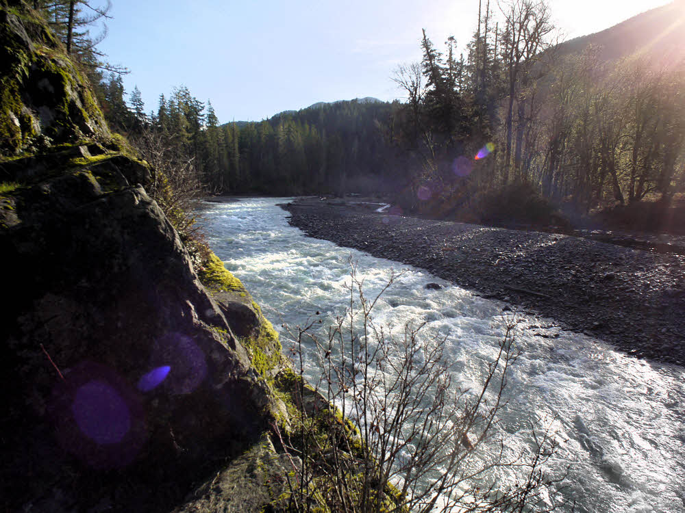
Things change. The old has to make way for the new because retailers wouldn't be able to sell you more of what you already have. The coming year will be no different. Here's what to look for in 2015.

Packs.

Probably the biggest trend is Ultralight, and it's most notable in packs. Every backpack manufacturer these days has not only an ultralight pack, but a whole line of them. In fact, every pack by every maker is now ultralight.

And don't think that by going ultralight you're leaving anything out. That's totally 20th century.

Here are typical Packbag Features these days:

Top lid, main packbag access zipper, auxiliary packbag access zipper, stretch mesh belt pockets, stretch mesh water bottle pockets, ice ax loops, trekking pole loops, hydration ports, spindrift collar, carry handle, front pocket, Perfect-O-Fit adjustable suspension, dual aluminum stays, framesheet, reinforced waistbelt, lumbar support, two layer padded waistbelt, two layer padded shoulder straps, load lifter straps, belt stabilizer straps, bear canister compatibility, zippered interior stash pocket for storing valuables and an interior security pocket, also for storing valuables, key fob.

Weights? Only 3.5 to 5 pounds (1.6 to 2.3 kg). Empty. Practically nothing, and if you think a few inconsequential pounds to make your pack idiot-proof is too much, you can join the lunatic fringe and find a pack in the 2.5 to 3 pound range. If you dare. But do it fast, because weights of ultralight packs will continue to climb all year, and who knows where they'll end up.

Shelters.

Remember how tents developed? Remember tents? Hello?

Back when people wore armor, rode horses, and had hair coming out their ears and noses, tents were all cotton, held up by wooden frames, and every guy was named Clint.

Some time after that the Double-Wall era arrived, blossoming into colorful sheets of nylon and polyester, tensioned over flexible wand thingies, with an an outer tent to shed rain and an inner tent to do something or other that the outer one didn't.

Then one day someone dared to try a Single-Wall tent, using only that rain-shedding part.

But that's getting stale too, so look for Zero-Wall tents a little later this year.

Advantages of going to Zero:

  • Quicker setup. (I.e., none.)
  • Less confusing teardown — No need to count the walls when you break camp because there aren't any.
  • Lighter — Zero is the number with the big hole in its middle, and so is your shelter.
  • Unparalleled ventilation. (Duh!)
  • Helps you work on your grim determination to survive, especially on windy, rainy nights.

Bedding.

Quilts continue to grow in popularity. After all, most of them have no zippers, no flaps, no straps, no strings, no turnbuckles or ties. Just insulation sandwiched between two layers of gauze. So simple — roll yourself in your quilt and shiver the night away.

But even the best piece of equipment can be improved, so look for things. Expect them to go in two different directions.

  • The Li'l-Tucker auto-puckering self-tucking quilt that helps you slide into unconsciousness by cooing gentle nothings at you once you're all snug in there. With a teddy-bear attachment if you're one of those people. (Batteries extra. Impervious to bed-wetting incidents.)
  • The All-In-Wunder. Use it as a flat quilt, or yank on the hidden zippers and drawstrings, and quickly turn it into insulated coveralls or PuffPants and matching Therm-O-Vest or even a pseudo-bag if you're feeling nostalgic. Black on one side, rescue orange on the other in case you need to signal to aliens that you want to be abducted the hell out of the woods already.

Fancy-Meals.

Freeze-dried is, face it — like stale pet droppings.

We're gonna move beyond that real soon now, with Kozi-Eats Hiker Treats, a new kind of self-heating meal pak. Just throw a package of your favorite dinner on the ground, trample it gently to fracture the chemical reservoirs inside and initiate the thermal process, wait two minutes, tear open, and squeeze the now-warm contents into your gullet. Or just stick your head inside the pouch if you're eating a meal for six all by yourself.

Each package comes with a dose of anti-emetic and an industrial-strength fart-attenuator, in case you have (a) trouble keeping it down, or (b) you don't.

Wednesday, January 14, 2015

Dam-B-Still-Gone

Getting down to the dirt.

Hills over rain forest way. I didn't go there.

After stomping around on top of the dam I drove south to Whiskey Bend, and hiked on from there.

Along the trail south.

The trail was nice, but the day was cold, though sunny enough.

Past Whiskey Bend, at the so-called overlook.

At the overlook, I looked over. Nice place but there really isn't much to see.

Goblin's Gate, where the Elwha takes a turn to the right.

Then, at Goblin's Gate, we see some drama. Here's where the river makes a tight right turn through a pair of stone teeth.

Going full bore.

A peek upstream shows how full the river really was — lots of rain in the preceding days, all headed toward the ocean.

River thrashing the rocks.

Just a few feet under the overlook the river was doing its best to drag the rest of the world down into its drama. But the rocks are solid.

Just past the Gate.

Just past Goblin's Gate the river settles down a bit. I've always been tempted not to jump in. I think I'll stay that way.

The far shore.

And then, while shooting the far bank, I finally realized that I'd accidentally reset the camera's while balance to tungsten, or indoor lighting. But the effect is kind of fun anyway.

Winter alders.

Meanwhile, downstream, the leafless alders were waiting for spring. They still are, but they look nice.

Rock pocket with resident grinder.

A large boulder with a top pocket, with evidence of how the pocket got there.

Beach rocks.

Everyone takes a photo of beach cobbles. Me too. Why break a tradition?

Shore to shore.

Some things are hard to photograph. Forests. Rivers. Forests and rivers in winter. It was nicer in person. True!

Forest floor.

The forest floor is fully clothed. Leaves and moss and leaves and twigs and moss and stuff.

Trailside slope.

There was a bit of fog, which made itself evident toward late afternoon when a few stray sunbeams poked through.

Quiet trail.

The trail is nice though — not many people out on it Xmas Day, though they did seem to be coming in as I was leaving.

Looks warm and sunny. Not warm.

Up higher the sun was still bright, though down in the bottom of the valley things were beginning to get dark.

Near sundown.

And back up near the dam again, I took the trail upstream. It leads to the river bottom, which used to be roughly 200 feet (61 m) under water.

Meanwhile, back near the dam...

There were about 10 or 15 others out there, all of us gawking.

Showing the gap.

There is still lots and lots of silt, clay, sand, and gravel waiting to work its way downstream.

Free to wander.

Overall, though, it's a pleasant place to walk. Where the access trail meets the former reservoir, it's a little awkward to make the transition due to a couple of small streams and mud.

More thrashing — the river was full-up.

Once you get out on the bottom though, it's easy to wander wherever you want to go. And the river is impressive.

Finally — a good view of the dam.

It's surprisingly easy to get almost all the way up to the dam. Anyway, close enough to get a great view of all 205 feet that aren't there any more.

Slightly upstream.

For the second time, since I stayed long enough, I saw the last rays of the sun illuminating the scattered logs and crumbling, sliding banks.

Second sunset.

The place does have a sort of quiet beauty, for those of us who like noodling around water. I always like looking under rocks for friends.

While the dam gets the last shot of sun for the day.

I guess they're leaving the western half of the dam, where the spillway is. I heard last night that the western side will be open within a month or so, so there must not be any more work planned, which means that this stuff will stay as-is.

One of the young trees in the valley floor.

Some trees were planted, some volunteered. I don't know which is which, but there were lots of these little guys out there.

West bank.

And a few yahoos ignoring the warning signs and goofing around the construction equipment in the area that's still closed.

More:

Previous post: Dam-B-Gone

Elwha Ecosystem Restoration

Elwha River Restoration

American Rivers' DamNation Film Guide

Return of the River A film about the largest dam removal project in the history of the united states, and the extraordinary effort to restore an eco-system and set a river free.

Wednesday, January 7, 2015

Dam-B-Gone

Gline me a river.

Parking lot, Xmas Day, about 10:30 a.m.

It was time.

This way to the former lake.

Time to get out, now that I could, and see where the dam used to be.

Walkway to the former Glines Canyon Dam's top.

Since Xmas Day was nice (no rain, no wind, some sun), I went then.

Where Lake Mills used to be.

And the dam site had recently been opened to gawkers.

All calm and clear, with a light dusting of snow.

It's pleasant. Civilized.

The Elwha River's new channel.

Only the eastern side is open for now, but that is well done.

Across the gap, the former spillway.

The parking lot and railings that were set up are nice. A but rustic but simple and low-key.

Eighty years worth of sediments, on their way out.

Just as they should be.

Not much use for these any more.

And even though I got a deliberately late start, I was the first there.

Lots of sediment still pouring down from the mountains, by the look of the water.

There's a clear view upstream, into the valley that used to be full of lake.

Almost viscous with rock flour.

It's surprising how much vegetation has popped up in the roughly year or two since this project has been under way.

What's left of the dam, still clawing at the earth.

And it is interesting, in a different way than before.

The west (far) side is still closed to public access.

Thirty-five years back, when I was first here, the dam was roaring. And scary.

Decidedly chilly, especially above a critical elevation, though sunny below.

I went over the fence and leaned out into the canyon for a look at the downstream face of the dam. That was in summer.

More sand, gravel, and silt.

Impressive.

Toward the upper end of the former lake bed.

Now you can simply stand at the railing and look straight down at where the dam used to plug the river, and it's still impressive, though the water is churning through the chute and not shooting out of an exit tunnel.

More water eager to get out, now that it can.

I imagine they'll leave what's left of the dam, since it won't interfere with the river, and leaving a few scraps gives a hint of what the dam was like.

Still, and for some time yet, a land of little color.

In a few years there will be forest on what used to be the lake bottom.

Meanwhile, back at the dam, things look elegant in the slanting light.

Forest, and trails, and campsites, and it will all seem pretty well normal.

A warning sign from the old days.

At the moment it's still raw. And muddy.

Now only a tourist curiosity.

But they've done a good job. It's a pleasant sight. Next time, I'll finish this post with a walk upstream.

More:

Next post in this two-part series.

Elwha Ecosystem Restoration

Elwha River Restoration

American Rivers' DamNation Film Guide

Return of the River A film about the largest dam removal project in the history of the united states, and the extraordinary effort to restore an eco-system and set a river free.