Yah-sure, another aborted trip. But worth it. Even so. I think.
Where we are (were). Where I was.
Find this map at the Internet Archive: https://bit.ly/2tOqSu4
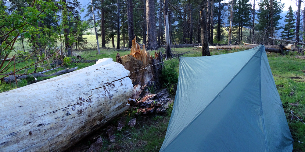
First night's camp, at Hat Creek.
Look at the map. First you go to Joseph, OR, which is a long drive from anywhere. For me it was about 600 miles (966 km) each way. Fair enough. I knew that, and when would I ever get there if not now?
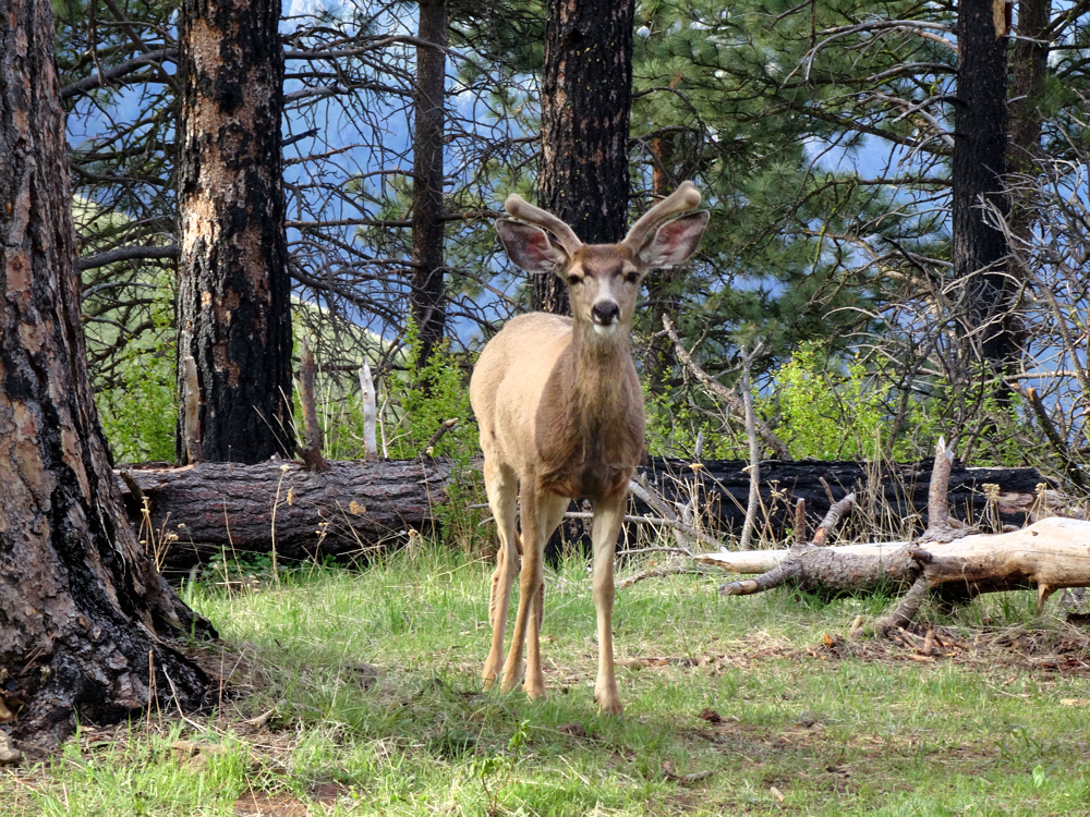
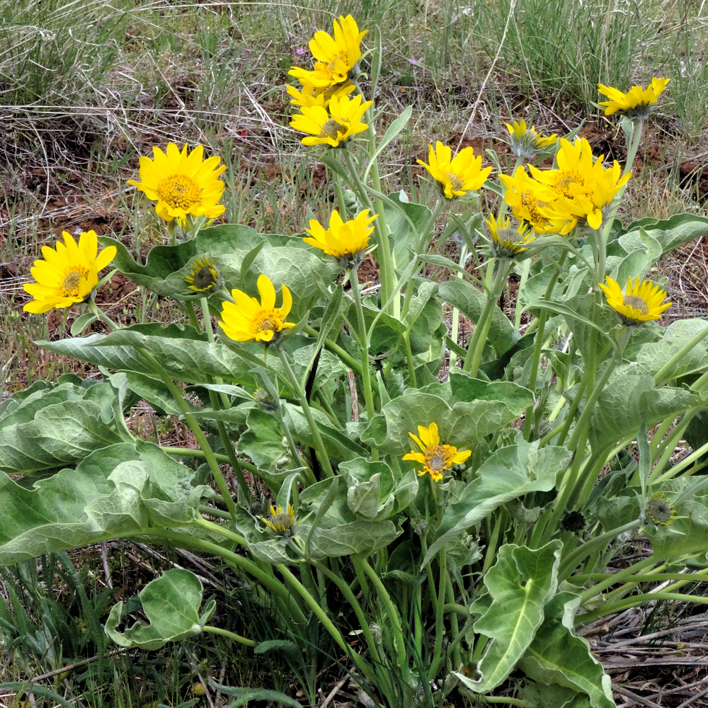
Morning visitor.
Maybe not again, ever, so my short hike will have to do. Might have to do. Possibly will have to do. Who can say? We'll (I'll) have to wait and see.
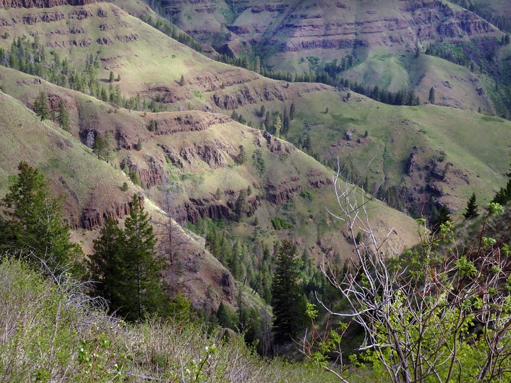
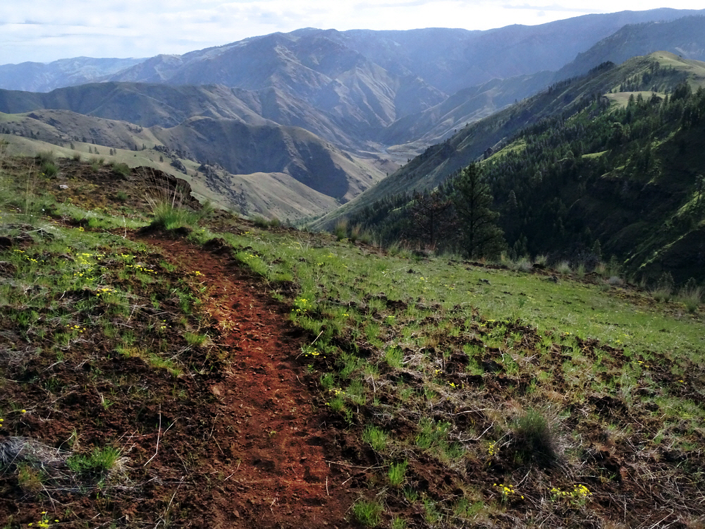
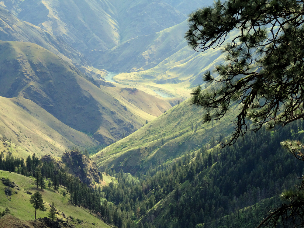
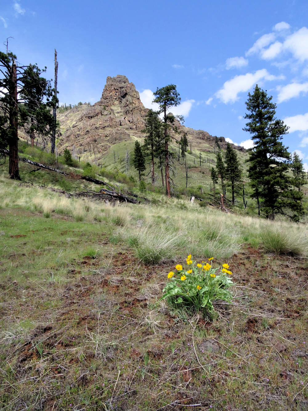
Where the trail goes (true).
I guess I had reasons to quit. Or, I should say, at least one good reason, to quit. I was ready for ticks. It wasn't ticks. I was prepared for poison ivy. Nope — not that. I expected to see rattlesnakes. Ah...no, not that either, though I did almost step on one snake, but the two of us worked it out.
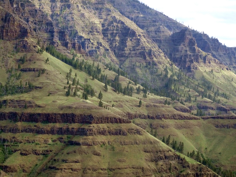
Right between the lower steep part and the higher steep part.
And it wasn't lack of water. There was lots of water. More water than I could have expected, even though I got to Hells Canyon a few weeks too late in the season, for a normal year. And this is an especially dry year. But there was water all over. And it wasn't hot either. Lots of people avoid the area because of the heat.
Hanging a left while looking toward the Snake River.
Nor heat. Almost too cold. Not cold, really, but chilly. Chilly and windy the first two days. But only chilly. And windy. Not that bad.
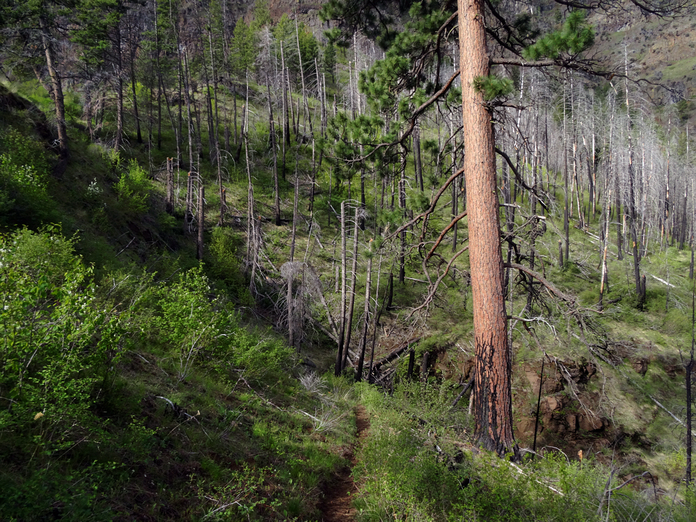
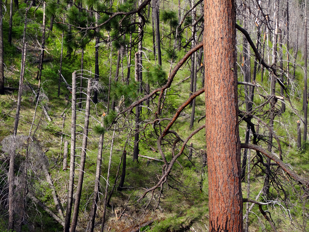
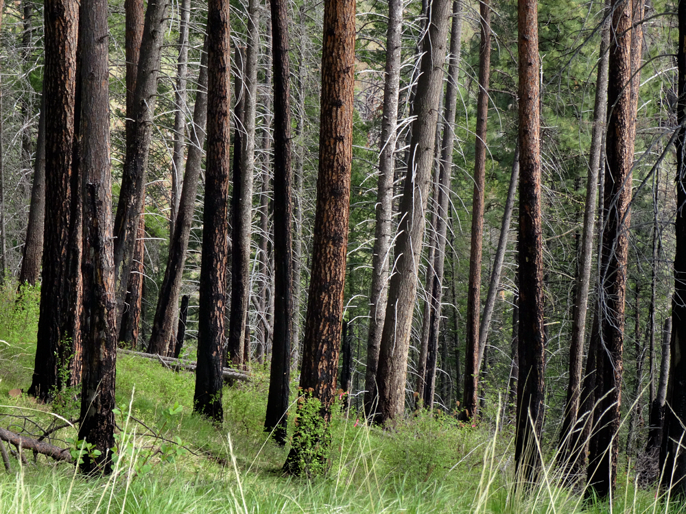
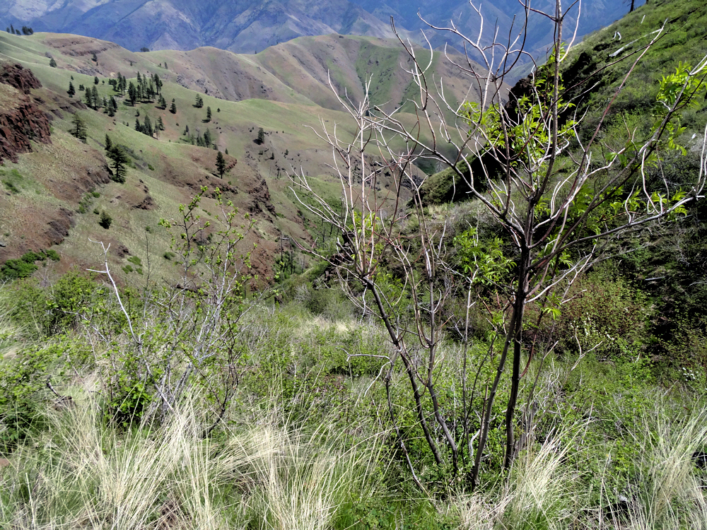
Burned-over area.
It was just too tough. The going was too tough so I quit. Quit trying to do the going.
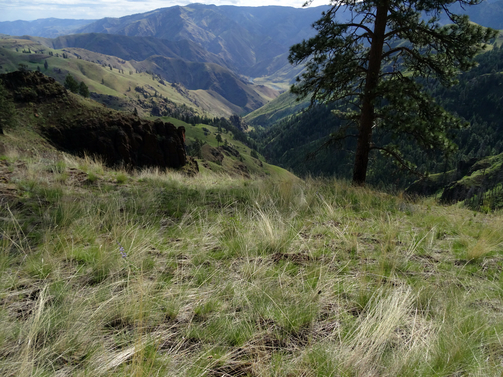
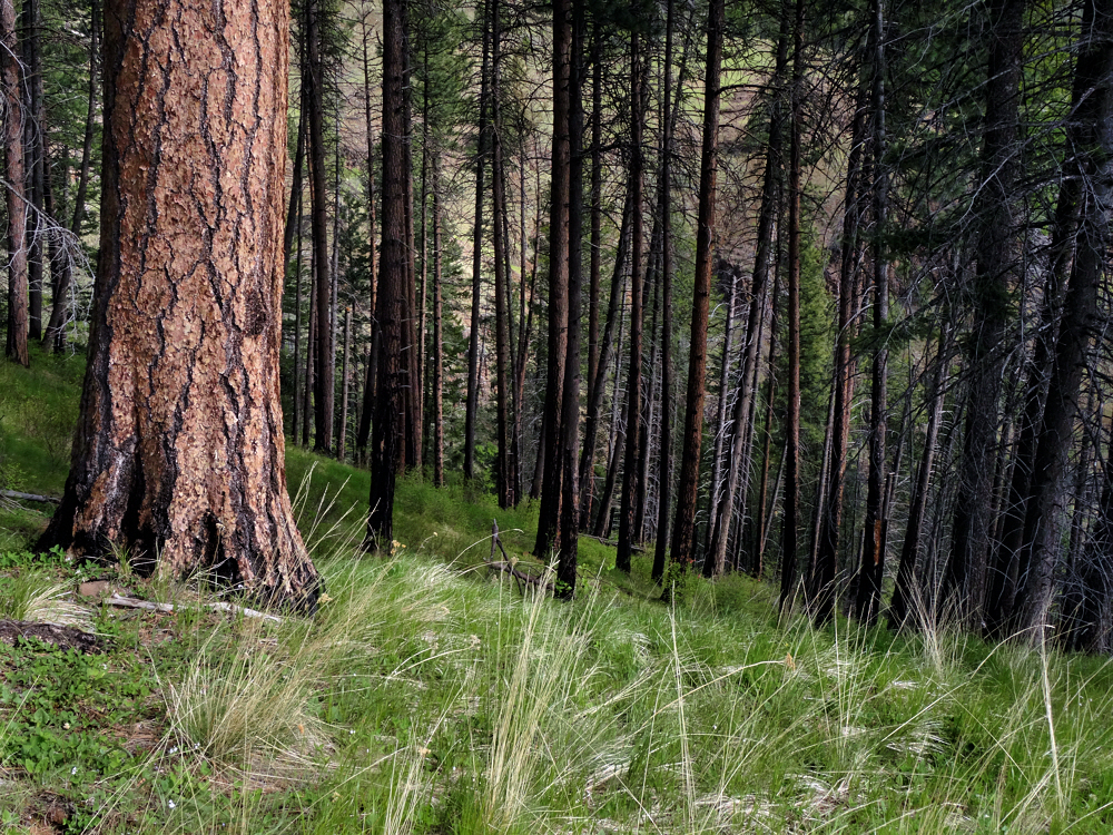
Lots of ponderosa pine. Lots of open space.
By two days in, I was already a day behind schedule, and the gnarly stuff was still up ahead. Get the picture? I did, reluctantly. I was smart enough to figure that out, though I wanted to keep trying.
This is where I got lost on my way out.
The halfway point was still way up ahead. One day ahead, if I went by my plans, and at least four days ahead if I went by my actual progress. Throw in "hard to avoid" poison ivy patches, add a dozen or so snakes and heat or cold or a sudden lack of water with heat, or more wind with cold, or some combination of all this, and it seemed hopeless. So I killed the trip.
My one glimpse of the Snake River.
Dumped my excess food into a hole, buried it, and went to bed on my second night out committed. Committed to turning back and not being able to change my mind, because without food there is no way to do anything. Fully committed.
Not like the western rain forest, but lovely just the same.
No ticks though. They motel owner said it had been too dry a spring for there to be much of a tick problem, and I didn't see a single one. I had my pants on, some ultra-thin, super-light-weight hiking pants, sprayed and sprayed again with permethrin. Ditto for the socks, and the shirt, and my pack. All sprayed with permethrin, ready to stand resolute against ticks.
And I didn't miss not being covered in ticks.
Sprayed my hat too. No ticks on that either. No ticks nowhere. And fine by me. Only a stray mosquito or two, I think, but nothing to worry about. Nor flies. Hardly a bit of anything. Lovely in that regard.
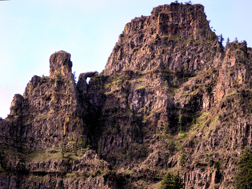
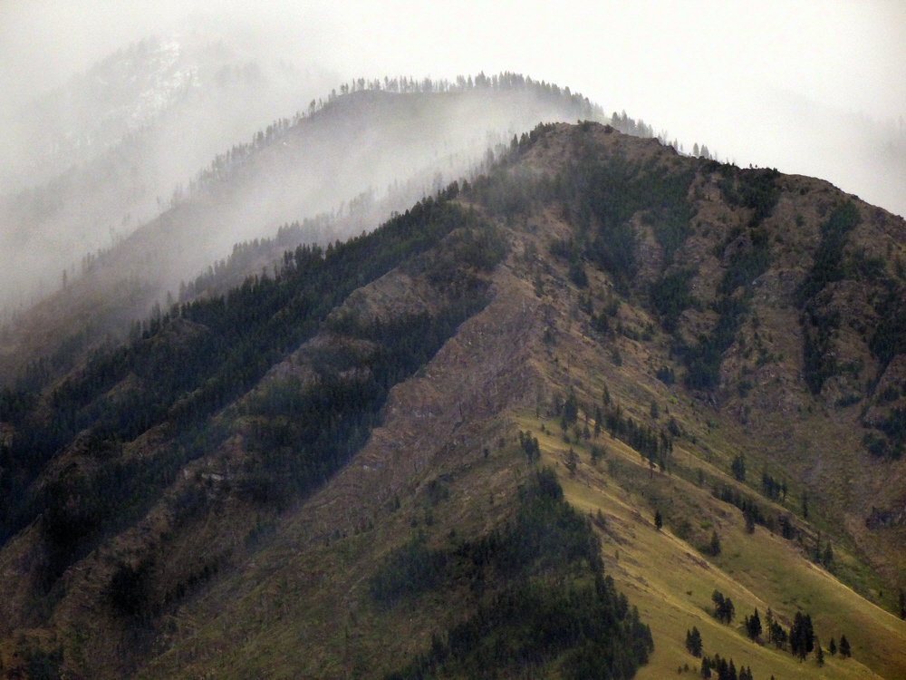
Rugged up above.
Lots of preparation. I had lots of preparation, because it was kind of an expedition.
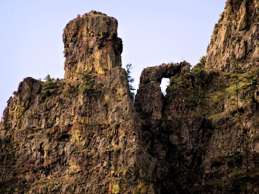
Rugged and wonderful.
Not quite enough preparation for what turned out to be kind of a too-big trip, but sometimes you don't really find out what the whole deal is until you're up to your armpits in it.
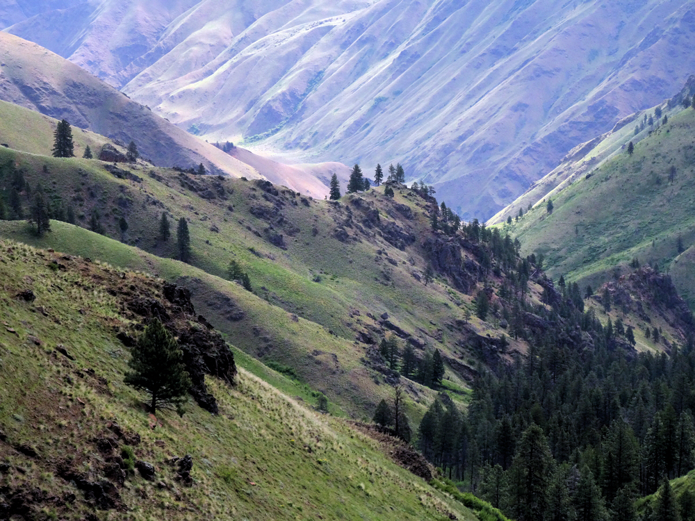
Always something to look at.
The drive itself was an ordeal. Luckily I got smart enough to turn back just after passing through Joseph, OR, as dusk was changing itself into night, and rented a room. And that helped.
Like this — open spaces yield good compositions.
Helped more than I knew, which I found out the next morning, when I drove to Imnaha and immediately became clueless about where to go from there. With the help of two maps and sticking a wet finger in the air, I make the right guess and passed that hurdle.
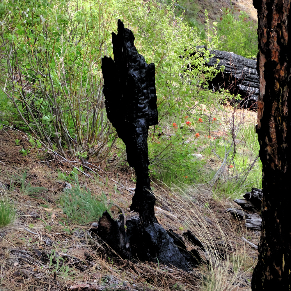
Fire evidence.
But from there south would have been truly miserable in the dark. I'm sure I would have missed the final turn. Even if I'd hit it, the barely-graveled track up to the trailhead would have been impassible in darkness — too narrow, too steep, too twisty, too spooky.
And every so often, a bit of softness.
Right. Long day. I stopped driving at the end of the day and slept in a bed, continued the following morning, and made it OK to the trailhead. That's fine. So what happened after that?
Hard to believe that it's a horribly dry year, judging by this.
A two-mile uphill hike to the top of a ridge, followed by a two-mile downhill hike to the first trail junction.
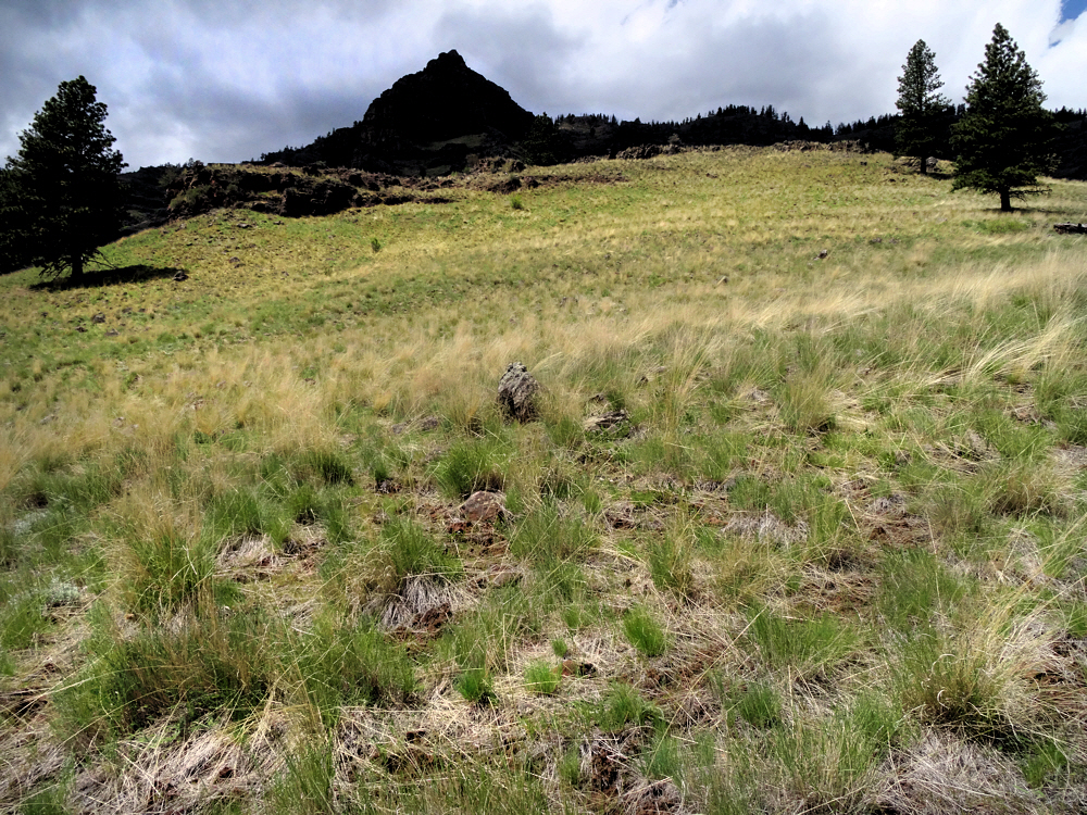
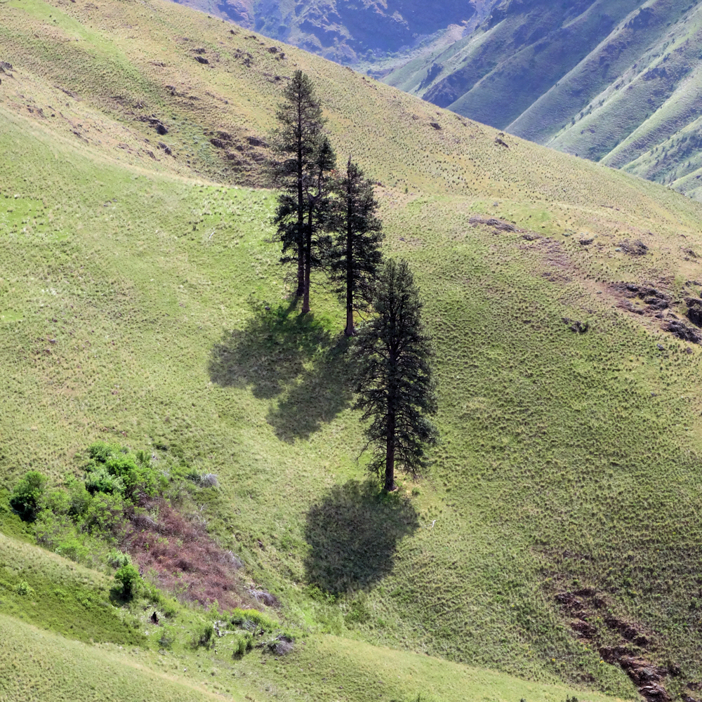
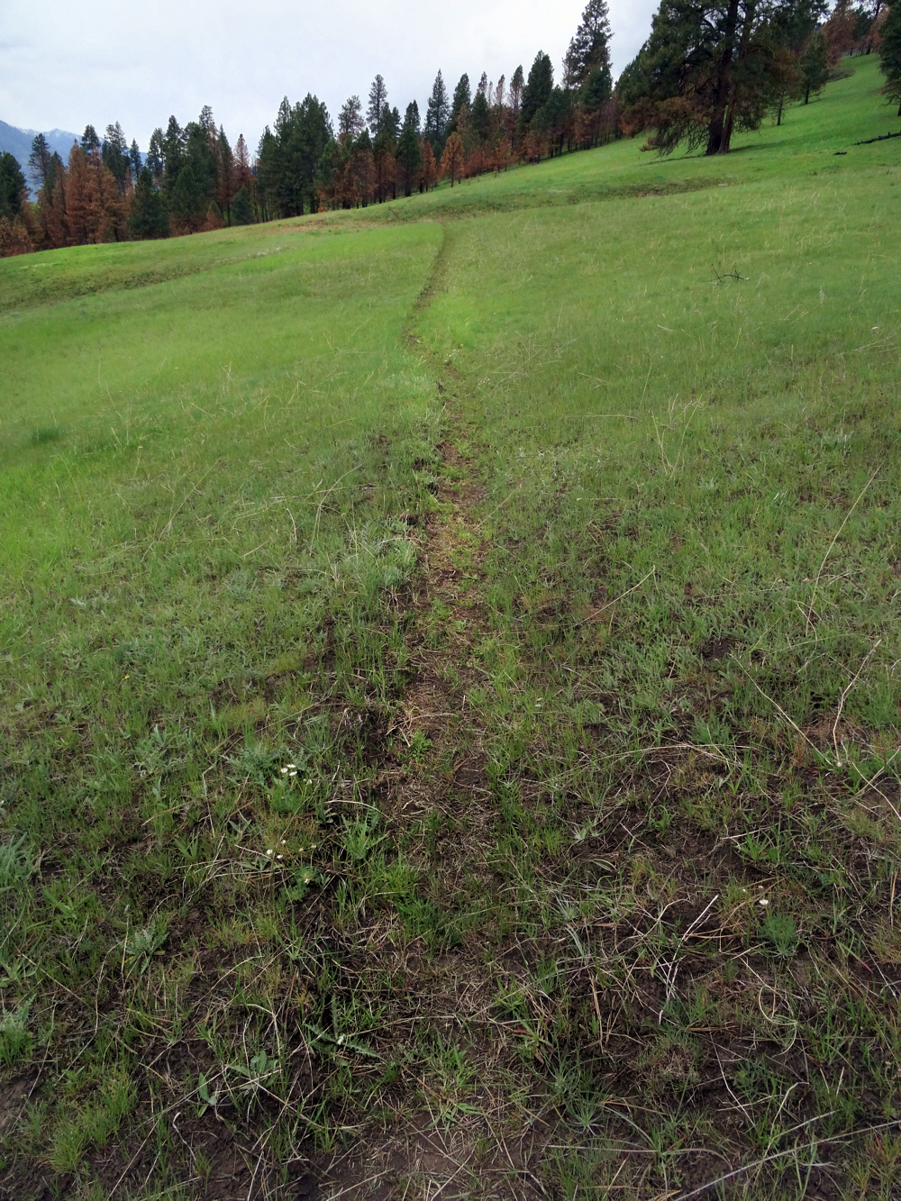
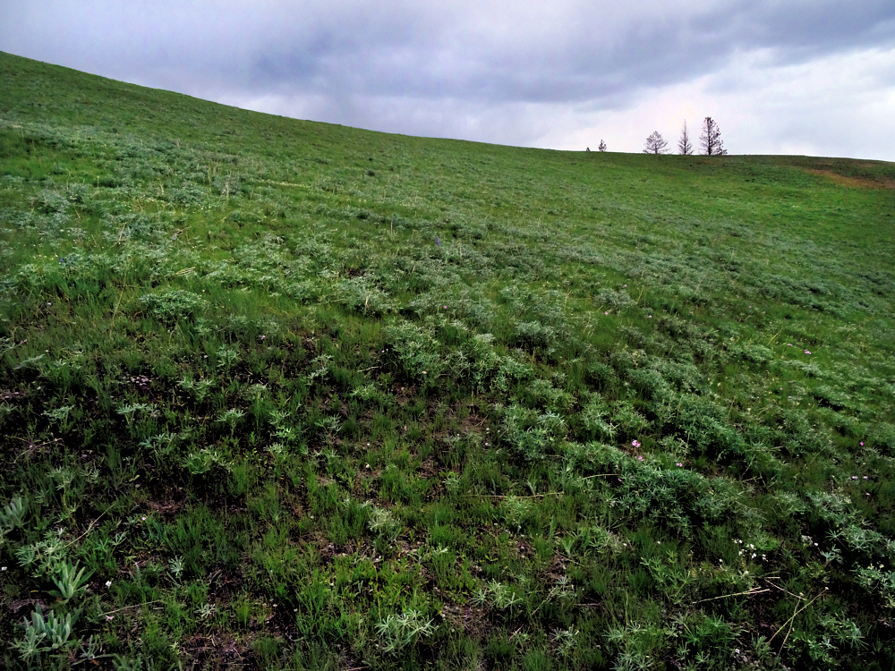
Grass. Did I mention grass yet? Whole hillsides of it.
Nothing much to either brag or complain about, though it was my first taste of what would quickly destroy the trip.
Miles down to the river. Much farther than it looks.
Most trails start easily, not with a determinedly-vertical trudge to the top of a ridge. It slows you down. The whole trail slowed me down.
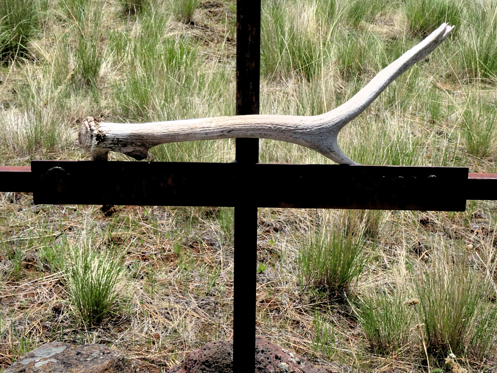
He died young. There is an inscription but I just couldn't capture it.
This trail goes north on a bench above the Snake River. Eventually, far to the north (relatively speaking) the trail descends to the river's level. From there, the route shoots back south, along the Snake River.
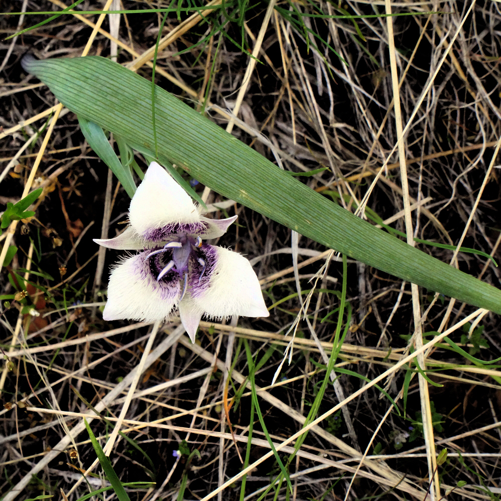
A little bit more of the soft side.
I had two maps. One, a huge thing put out by the Forest Service, was almost useless in its intense portrayal of endless detail. The other was five pages photocopied from Douglas Lorain's Backpacking Oregon (map plus commentary), but from the first, 2007 edition.
Weather. Didn't arrive, but it did leer at me half the second day.
See a slight issue there? My guide dated from 2007 and my hike dated from 2015. Some things aren't the same.
Bald. Almost every ridge top has a bald.
It's a good guide. Lorain is great, but human-build landmarks are gone. The trail signs are illegible. Some side trails seem to be no longer in use, or maintained or whatever. Stuff like that. And the signs that did yield up a little speculative information provided different names than Lorain's text and map.
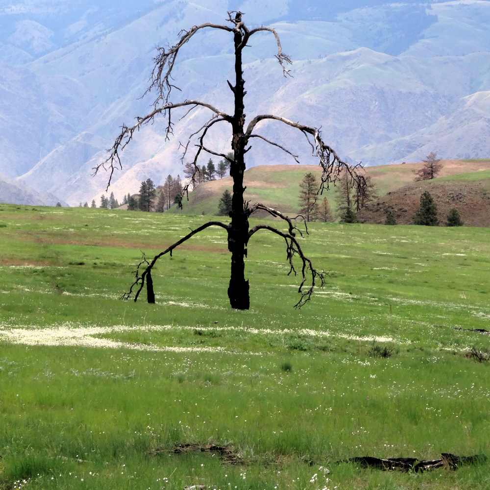
One of the trees that didn't make it through the last fire.
But mostly it was the trail. You see, it does two things that are hard to deal with. First, it goes up. Then it goes down. And a third thing — this up-and-down is endlessly repeated as the trail climbs up and out of one ravine and drops into the next, far up on the valley wall.
The last hilltop before the drop into Temperance Creek and my second camp.
It's a trudge and a half. And there's more. A lot of the trail is covered in loose rubble. Free-range basalt nubbins. Stone cookies. Pebbles. Volcanic detritus. Whatever you want to call it. Hiking on it, especially while either climbing or descending, is much like skating on large ball bearings. Large ball bearings with teeth.
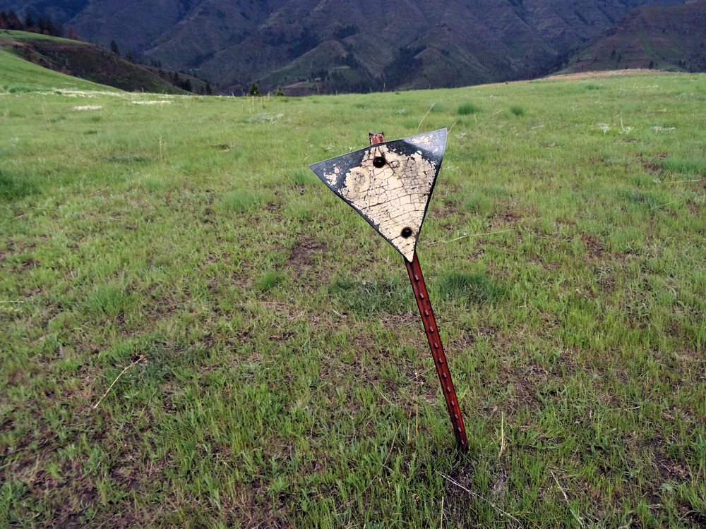
And, of course, another informational sign. Good luck to ye!
Besides that, many trees have toppled and exploded across the trail. Old trees that burned years ago, and which have dried and rotted out, and when they have fallen, have left the trail littered with the roller bearings of wood chunks. And if it's not that or the pebbles, there was lots of brush on the trail too. Never blocking but severely crowding the trail. All these things made it impossible to do the easy 15 miles a day that I expected to do.
We'll finish up in a week.
Previously:
Post 1 To Hell, Briefly
Post 3 Hell And Out
Reference: Backpacking Oregon, by Douglas Lorain.