Day One: Start of an unexpectedly short trip.
Last summer I was finally going to do a really long trip in Washington state's northernmost wild area.
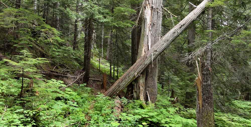
Typical forest south of Highway 20 along Panther Creek.
I had to diddle with my plans several times because over the last few years a lot of the trails have been abandoned. They've become overgrown, eroded, wild, and are beginning to disappear back into the landscape.
And then there was snow.
Stone. Granite, mebbe.
Even though I started in mid-August, there was still snow in some of the higher locations. And those places were also on the crucial now-unmaintained east-west connecting routes that I needed to make a long trip.
Waterfall in a cleared area. Lots of brush generally though.
So ultimately I decided I had a route, but then the weather quickly turned bad, and I drastically shortened it all.
Kinky bridge going halfway across Granite Creek.
Still, I got a few pictures along the way. This was the first bunch.
Day Two: the wet, the bugs, the pee.
Trail going north above Panther Creek.
There is a campground between Ross Dam and Diablo dam, technically in the Ross Lake National Recreational Area, but run by North Cascades National Park. That's where I left my car.
I did this once before, and it's a good idea and a bad idea.
Not a great looking start for the day.
The good part is that it's nice. Paved. Lots of coming and going. Picnickers. Campers. Day hikers. Families noodling around. Most people are OK, especially those surrounded by children. Children scare off bad guys, so leaving a car there is pretty safe, compared to a parking lot along the highway, or even a camp site 20 miles in.
It is also the start of a trail which runs east along Thunder Creek, and then turns north along Panther Creek, and takes a person to Highway 20, across which is the real place to start. This entry trail is really pretty nice. Few people use it.
But it was good shrubbery weather.
The bad part is that it adds about a day to both the beginning and the end of a backpacking trip, and there are two significant climbs (and descents) along the way.
Since I'm not that bright, and did this once before, and wasted a bunch of time, I thought I'd do it again.
By late afternoon of the first day the sky was getting dark, with rain clouds, and they let loose with a fine drizzle around supper time, so that's when I quit hiking. Luckily I'd come across a forested but undergrowth-clear bulge in the side of the mountain by then, and there was a stream just around the corner, so I went up about 100 feet (30 m) and put up the hammock, then ate and came down for a sponge bath in the rain, during which I got wet.
There is decent trail above the brush.
Sometimes life works out that way.
This short trail is not used much, and gets heavily overgrown with brush between cleanings, and even though it is only around seven miles long (11 km) the two ups and downs combined with the brush slow a person down. I started about 10 a.m., which wasn't bad, considering the long drive to get there, but only made it about two thirds of the way through before stopping.
The second day was dark and gray but didn't rain until I got to the highway, and even then wasn't bad, but enough to make me feel skittish, even though it let up soon. I'm always brave while planning trips but once in the rain it all seems suddenly miserable and pointless, one reason I eventually cut the trip short, by about a week, another dumb decision, since ultimately the weather turned perfect.
The first luncheon guest. Pee for one, please.
Eh.
This area has four "jurisdictions", if you can call them that. The plain old National Forest, the Pasayten Wilderness, Ross Lake National Recreational Area, and North Cascades National Park. Ross Lake is a long, skinny thing with its southern half inside the U.S. and the rest in Canada. Guessing by the map, it must average about a half mile (0.8 km) wide. It looks so deep that you get scared thinking about it.
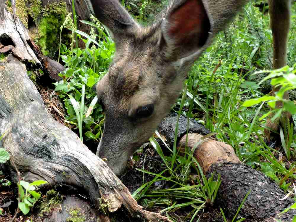
Mmmmm. Salty dirt.
Overnight stays in areas administered by the national park require dealing with them. Otherwise you can simply fill out a form at a trail registry post when you hit the National Forest. The Wilderness is also part of the National Forest. Practically speaking, you may or may not see signs showing you where any of the boundaries are, or anyone in a uniform.
Once north of Highway 20 the trail crosses Ruby Creek, goes east along it, and then climbs for what seems like a year. It's only 700 or 800 feet (245 m) but with a full load of food at the beginning of a trip it can make you stinky real fast.
Trudge. Trudge.
Good to the last gritty bit.
Past the halfway mark you hit water, and then see more water twice, higher up.
By the time things level out you are near a delightful place called McMillan Park. This is where I planned on camping in 2004, until I actually got there.
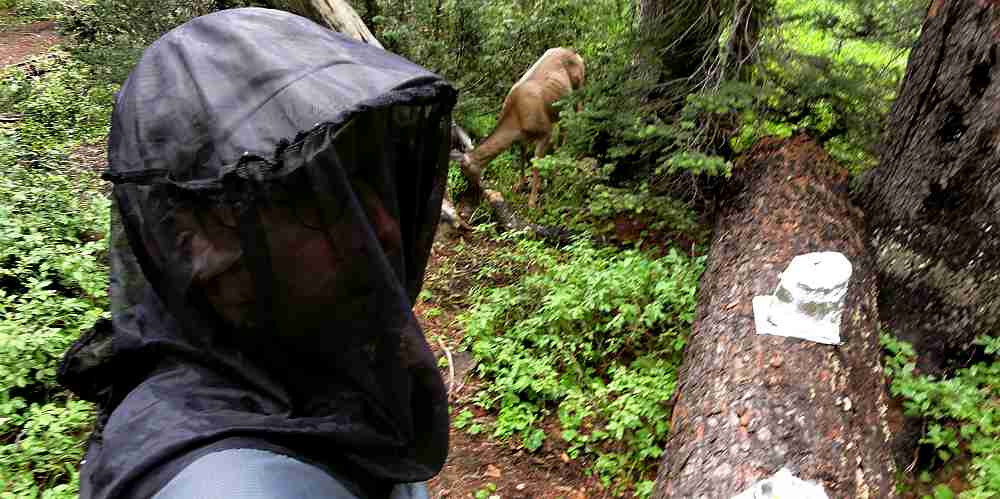
The ugly guy, a deer, and a stove.
It is beautiful. No doubt about that. Full of bogs and little ponds, and so many mosquitoes priming to attack that it sounds like a Nascar pre-race warm-up. They know when you are coming.
They weren't as bad this time as before, mostly because I was ready. Wear your rain gear, or a full-coverage wind suit, with bug net and gloves, keep your ankles covered, and your chances of survival increase.
Even so, pile rocks on your pack so they don't make off with it.
Crater Mountain, slightly above mosquito level.
The first time here I had to run-walk all the way through McMillan Park or face certain death by sucking beaks. I finally cleared the flats, leaving less than a third of my blood behind, and found an open, breezy spot a mile or so north, set up camp and made supper (wearing all the clothing just mentioned). Then while sitting and eating super my ankles went nuts. They were covered with mosquitoes biting me through two pair of socks.
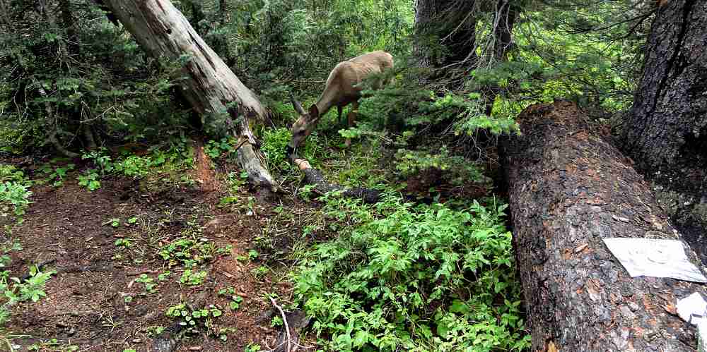
Another, with poky bits. But no pee for thee, deer.
So be warned.
The other problem is deer.
They want your pee.
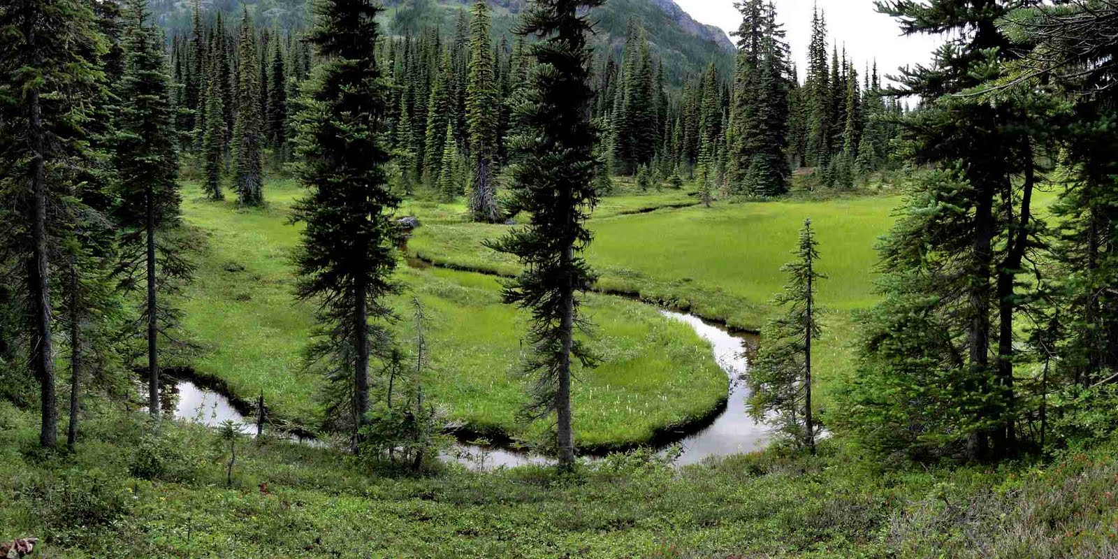
The non-bug moving part of McMillan Park.
This trip, I stopped for lunch, watered the flowers, set up my stove, and almost before I could count to one, there was a deer circling me. I acted harmless and it eventually came up to within about 10 feet (3 m) and ate all the dirt that I had wetted before it wandered off again.
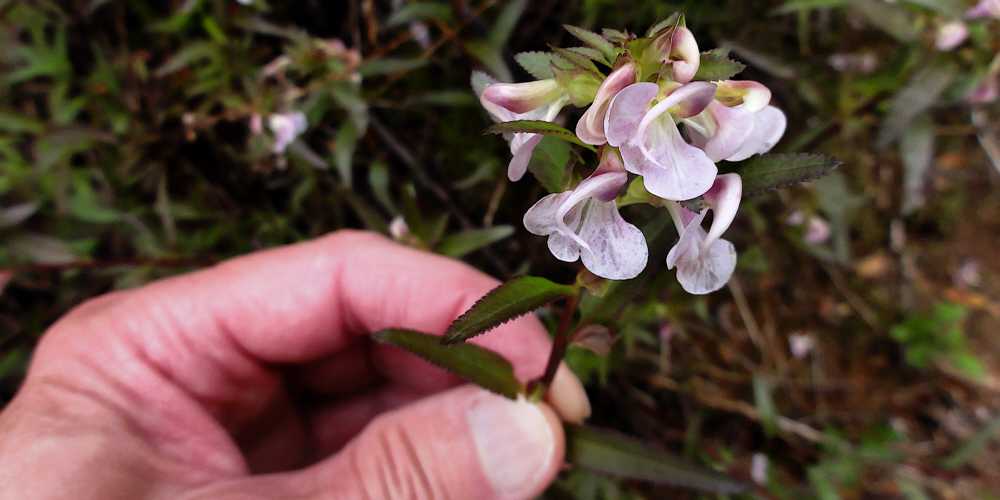
Looks like another kind of pea.
Back to 2004. After fighting mosquitoes for hours, finally getting safely inside my hammock, and gratefully falling asleep for a while, I had to get up and do the flower-watering thing. But didn't go out far enough. The deer showed up right after I got back to bed and wouldn't go away. He (probably a he) circled me for an hour or more, stomping, snorting, thrashing around in the brush, doing all kinds of goofy things while the mosquitoes kept bouncing off the bottom of the hammock where they could feel my body heat. Fun night.
Back south, Rainy Pass way.
This time at least I handled it better (my fourth try). I bathed in the pleasantly freezing wind a good 100 yards out from camp, and picked a spot about half that distance out to use as my flower garden. Which was gratifying because though the deer came when I used it they didn't feel that they had to come over and bark in my face.
And it is spooky how fast they show up. Literally within five minutes, in some of these places, if that.
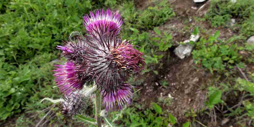
Even some of the plants bite.
Anyhow, I got past the mosquitoes, the sky cleared a lot, I got a good camp site, and had the deer figured out. Following my bath and a half hour or so of uncontrollable shivering I got to bed and dreamed of grizzly bears.
So I stopped for water, and then...
The place is called Devil's Park. Pretty nice though.
Day Three: Rising into the sun.
My original urine-eating deer buddy as it stalked me.
Devils Park is a great place to camp. There isn't any water there, but you can carry it in from McMillan Park, if the mosquitoes will let you get at it, and there is a spring on the west end of Devils Park, but I don't know how it is after mid-July. Water is probably there all summer if you know how to dig it out.
Morning of day three. Sunny up on Jack Mountain.
Anyway, this time, the evening before was clear, cool, and breezy. Overnight the temperature dropped, and the morning was chilly enough to make a person's hands ache, even with gloves on. For a while. Luckily or unluckily, the climb out of Devils Park is long and steep, so a body chugging uphill warms quickly.
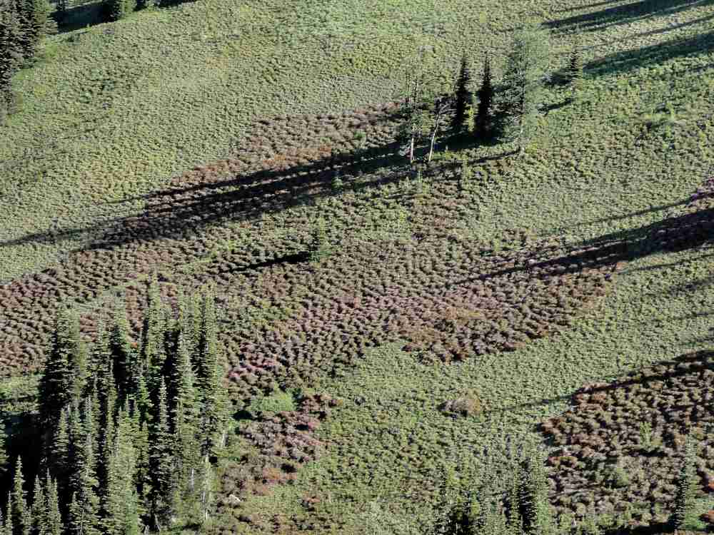
One nice thing about this is that you get great views back to the south, but it's hard to figure out just where you camped. Devils Park is one long meadow divided by trees. Groves of trees, lines of trees, clumps of trees. Up close it's a maze. Seen from above it seems more open, but also seems to go on forever. If I ever get a chance, I'm going to walk over to the south side and see if there's a view down into the valley of Canyon Creek.
One of the few clouds around that morning.
Jack Mountain is this huge rocky thing with two peaks. Back away from view on its northwest side is a huge glacier, Nohokomeen. On a clear day you can look south, into the southern unit of North Cascades National Park. State highway 20 skirts this and runs right through Rainy Pass, which lies astride the Pacific Crest Trail. I've never walked it, but I've driven it a few times, and it always stuns me with its jagged mass.
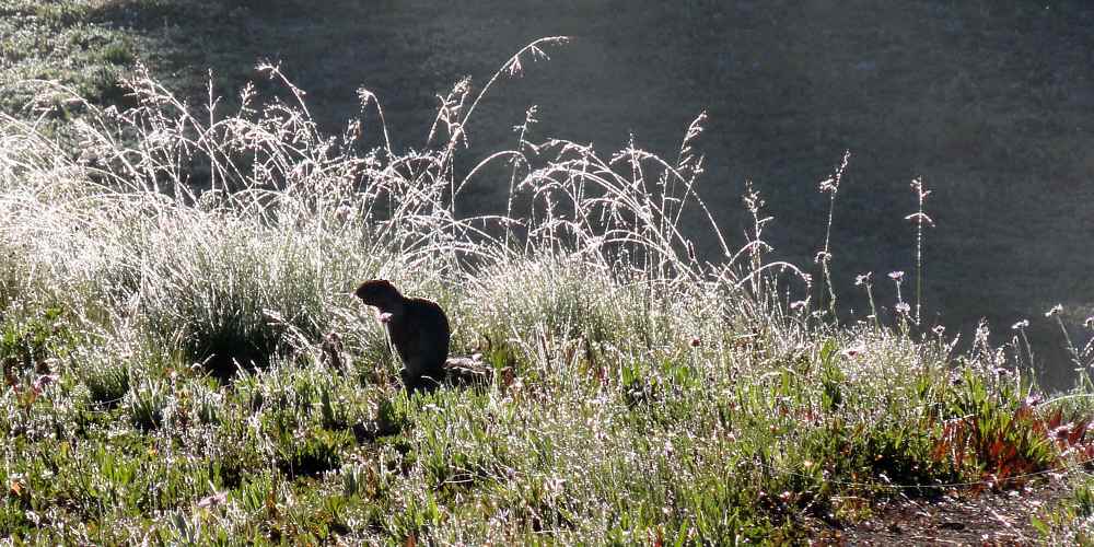
One ground-hugging squeaker, also up early.
One thing I particularly remember, from an earlier trip, farther north than I got on this trip, was tooling along the trail, oggling the sky and the peaks, with a grassy slope to my right, a drop of about two feet to the trail, and more short grass descending on my left.
I saw a movement, stopped, and watched as either a huge ground squirrel or a small marmot came shooting down the slope, sailed over the trail, hit the lower slope, rolled a few times, and then continued running until it disappeared into a line of shrubbery.
Walking alone you see things like that. The critters are used to people, but not to silent people, and unless you go along having a screaming argument with yourself, the wildlife simply doesn't hear you coming, and then has to act without thinking.
Luckily for me, I'm pretty scary to look at. The largest bear I've ever seen was in this area (for years I thought I'd seen a grizzly), and it turned and ran straight up the mountain until in seconds it became a small dot that blended with the brush.
Devils Park, where I spent the night, from above.
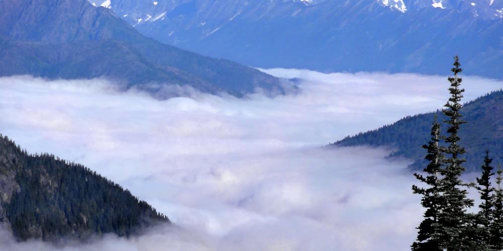
Climbing away from Devils Park you get significantly higher. On this day I had a good look to the west. Ross Lake must have been completely smothered in fog, because the valleys were full of it.
Rainy Pass in back, Devils Park, Jack Mountain.
First you ascend from highway level up to McMillan Park. From there you climb to Devils Park. Above that is Jackita Ridge, and then there are some severe ups and downs that take miles to cover. Farther north the trail levels out somewhat, and shares the route with the Pacific Crest Trail, though the landscape doesn't ever get boring, even for a second.
Closer view south into North Cascades National Park.
Ross Lake itself is amazing. I haven't seen much of it, but have twice walked the southern half of the trail along the eastern shore. It used to be a deep valley. The Skagit River flowed there. Now it's a deep, still, clear, inscrutable presence. There seems to be a lot of horse traffic along it. Maybe not great for hiking.
One day as I was hiking out I stopped at a campground. There were canoeists there, setting up. Well, maybe not too bad. I looked for a spot with some privacy. They I saw two or three crackers on the ground, and a half-eaten apple.
Nope.
I slithered off, around a bend in the lake at least half a mile (2 km) away, and camped where no one ever went. They are extremely rare but there are grizzlies up there, and mice are bad enough.
West, toward Ross Lake, the wet tried to hang on.
Generally though, there is plenty of open space, and you can have your own personal stream and not only be out of sight of, but out of earshot of anyone else.
And may even be the only person in your particular drainage. But not near the lake.
Looking north, up to the south end of Jackita Ridge.
You get up along the west side of Jackita Ridge and you feel like you've finally made progress and are ready to cruise, and then you come to this edge, and the whole world drops away.
The place looks smaller on the map than in person, but in person it is a big hole in the side of the world.
Which had a fuzzy hillside.
You descend only around 300 feet (100 m) but it seems much farther. Maybe because it's all loose soil and gravel. Nothing grows on it.
"Slow" is the watchword. Hike out, turn, hike back and down a few feet, turn again, and keep switching back and forth until you are low enough to hit the tree line again.
The map shows a stream but it has no name, and I can't remember one. No matter. You forget it soon.
On a clear day you can stop and admire the view to the west, into the drainage of Devils Creek, which is worth a lot.
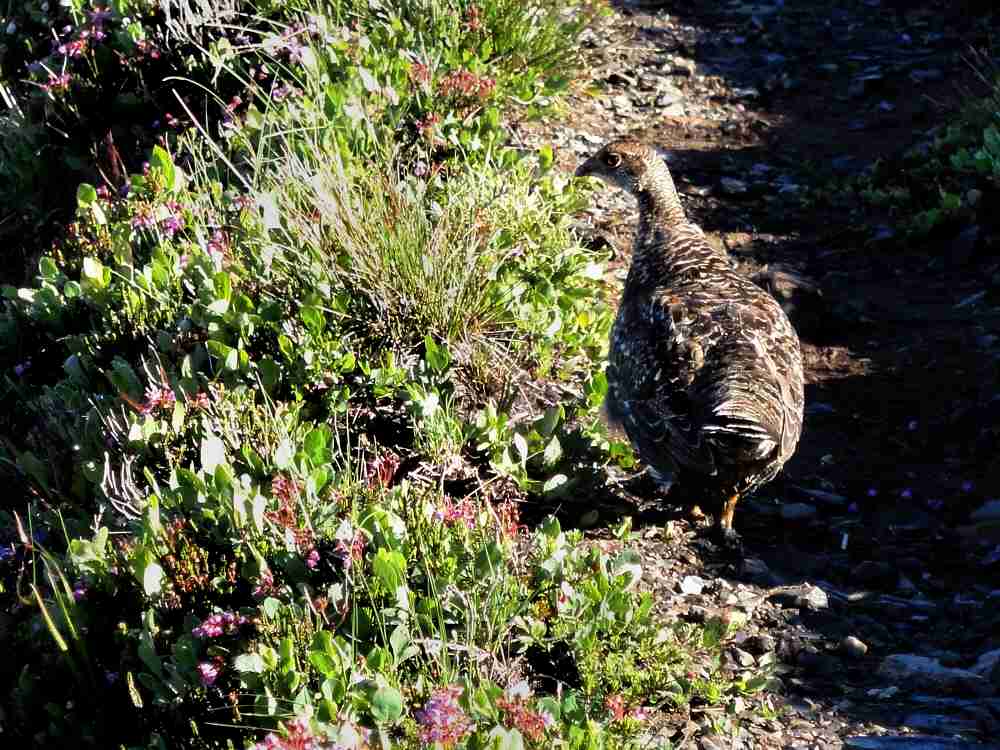
Blue grouse. They like trails a lot.
So after losing all your altitude in descending you begin to climb again, and end that climb by inching up to a knife-like outlier of Jackita Ridge.
Then with a few more steps you tip over it and begin a severe drop with the north fork of Devils Creek at its bottom.
One of my favorite downhills. Would be less fun in snow.
I'll get to that next time.
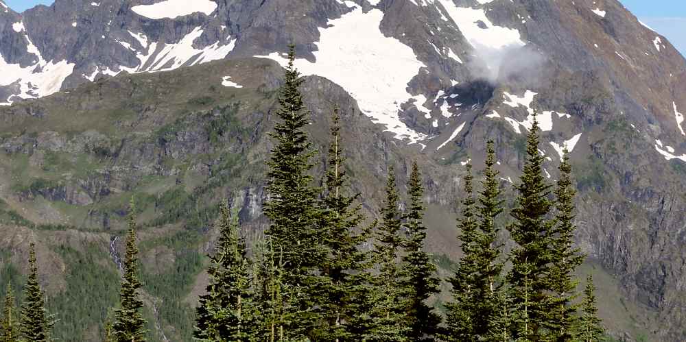
Jack Mountain left, valley of Devils Creek ahead.
More.
Jack Mt & Nohokomeen Glacier by John Scurlock
Jack Mt's Nohokomeen Glacier (wikipedia)
See tabs at the top for definitions and books.
Have extra info to add?
If the commenting system is out again, then email sosayseff@gmail.com
Me? Recently nominated for this year's Doofus Awards. (Next year's too.)
