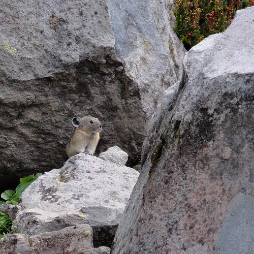
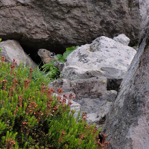
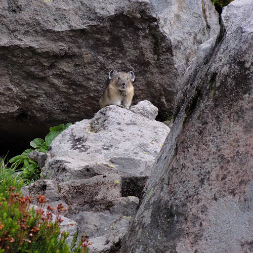
Wherein I finally encounter a beast.
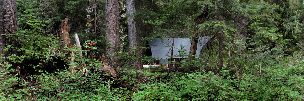
Right. So another good night in the hammock. I could say another good night in the sack, but I don't want to be reminded of being a snack in a sack. Maybe I've just been lucky, but so far nothing has come along in the night and tried to eat me. Anyway, nothing big enough to take my hammock and me down in one bite.
Heading back to the main trail (which is also the Pacific Crest Trail), I found that someone had left a message for Dora. Since Dora is an explorer, I figured she'd be doing well enough, and didn't feel a need to get involved, so I tried eating some of the rocks that spelled out the message. Not much luck there. They were all actual rocks, and not hard candies, which spoiled the whole experience and left me a little sour on that whole "kindness of strangers" thing. So screw Dora and her friends.
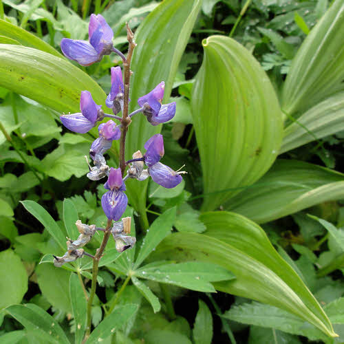
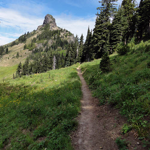
Continuing, I found plants.
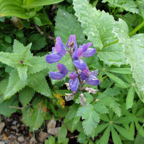
Some of the plants had flowers growing out of them. Maybe it was colorful parasites, but plants don't get a lot of sympathy from me, so I kept walking.
Then, wouldn't you just know it – there were more plants. Plants seemed to be all over the ground up there, like they didn't have anything better to do. I may have urinated on some of them out of frustration. Since then I've heard that plants actually like that, which gives you some idea of what they're really like, so now I hold it until I get home again. Take that, plants.
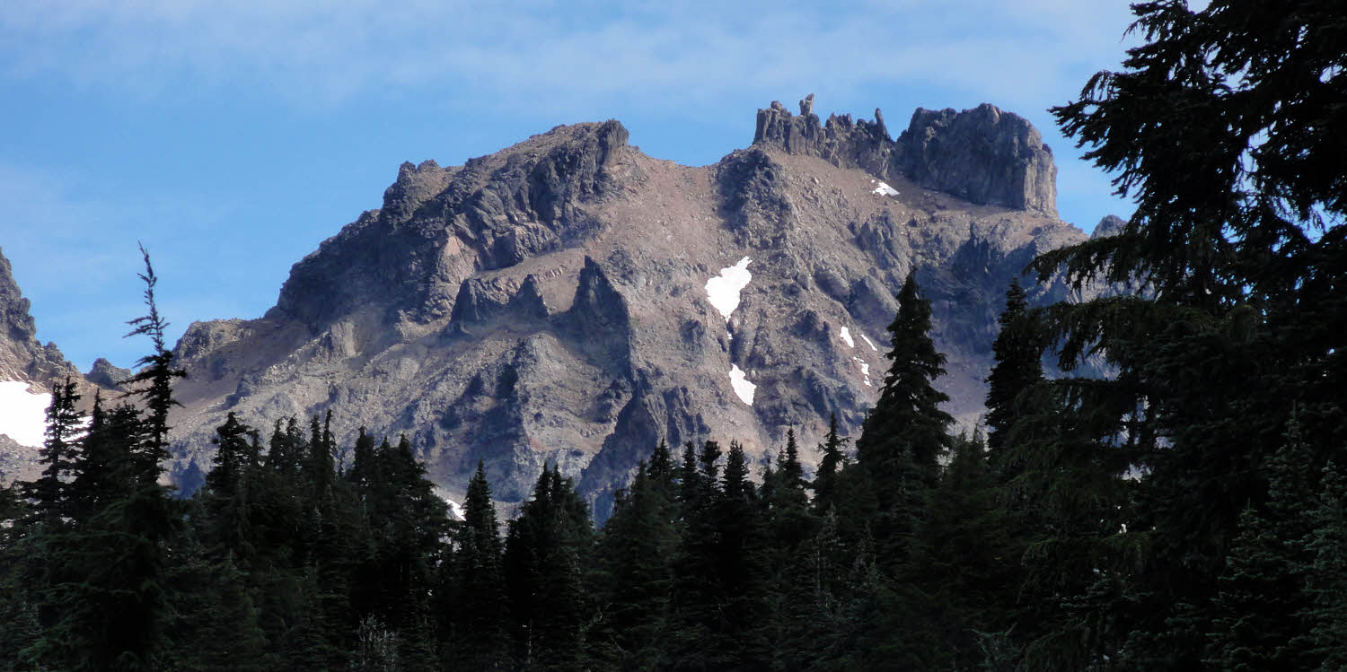
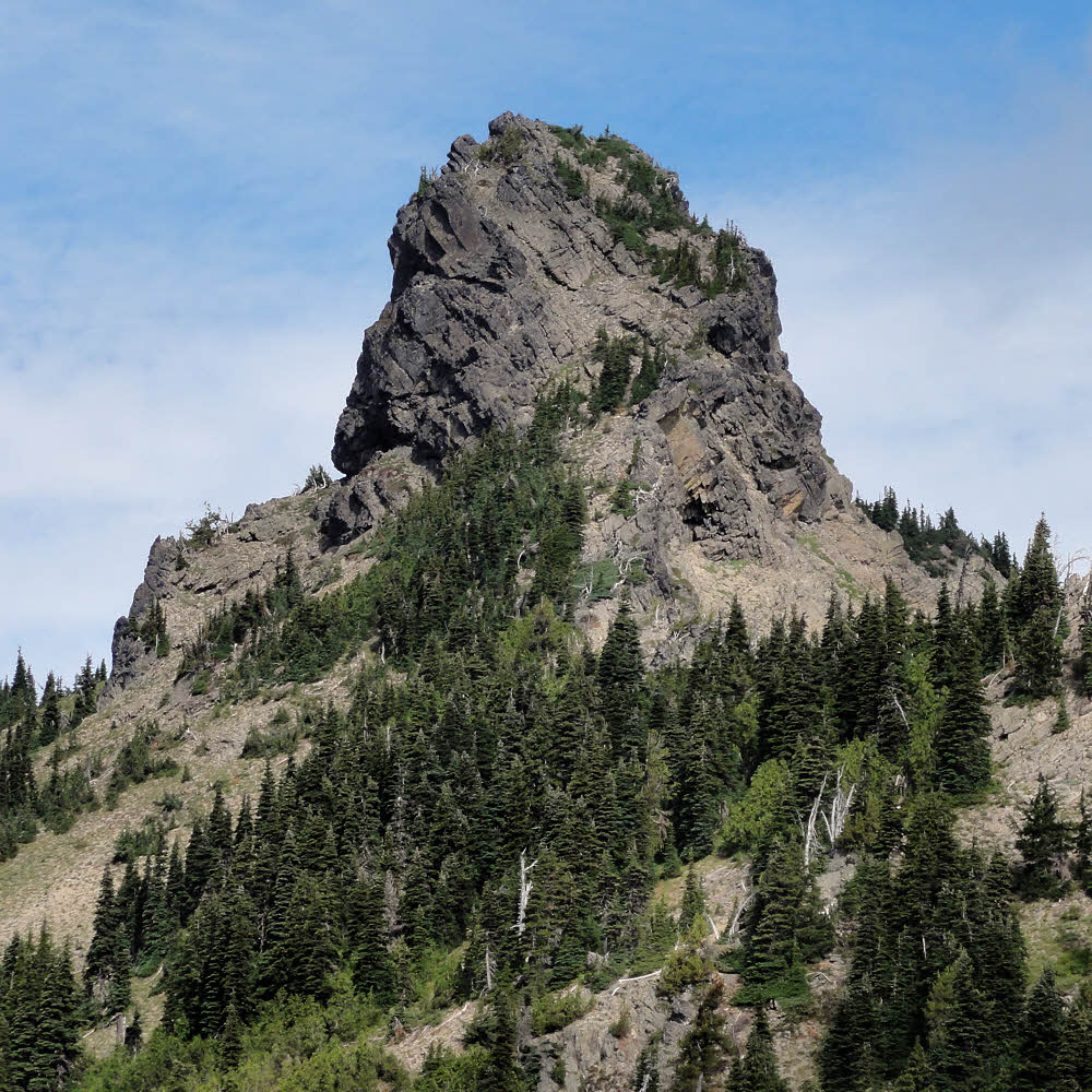
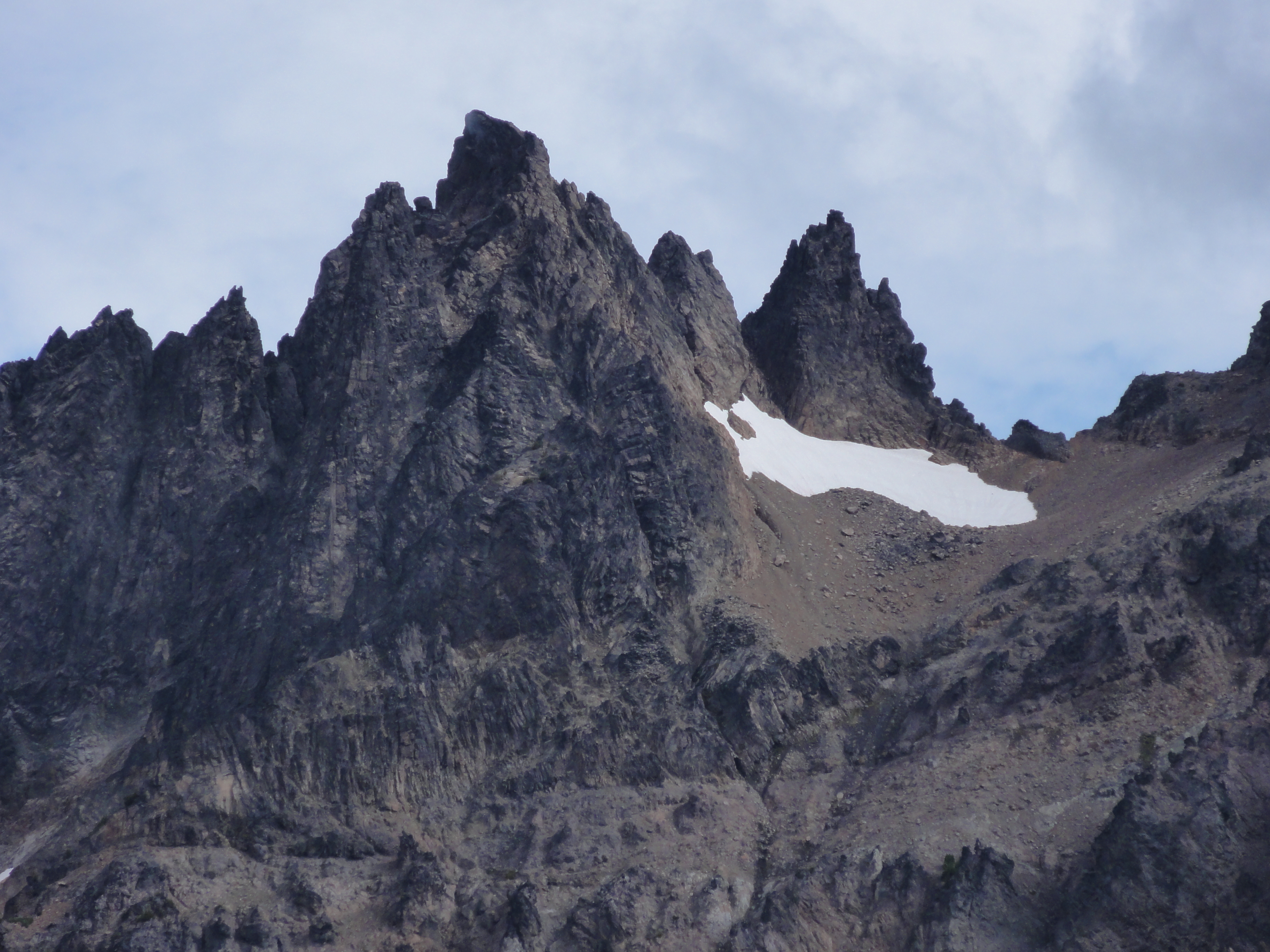
Eventually, I looked up. There it was. Gilbert Peak, formerly known as Mount Curtis Gilbert.
- Type: Mountain/Rock
- Elevation: 8184 ft / 2494 m
- Consistency: Hard
- Color: Gray
- Taste: Mostly rocky with a crunchy texture and good mouth feel, though somewhat gritty. Practically no bitter aftertaste.
- Locale: Washington, United States, North America
- Mailing Address: 46.49000°N / 121.4074°W
- Distinguishing characteristics: Old. Pointy on top. Somewhat crumbly, but heavy if you are the one that a piece falls on.
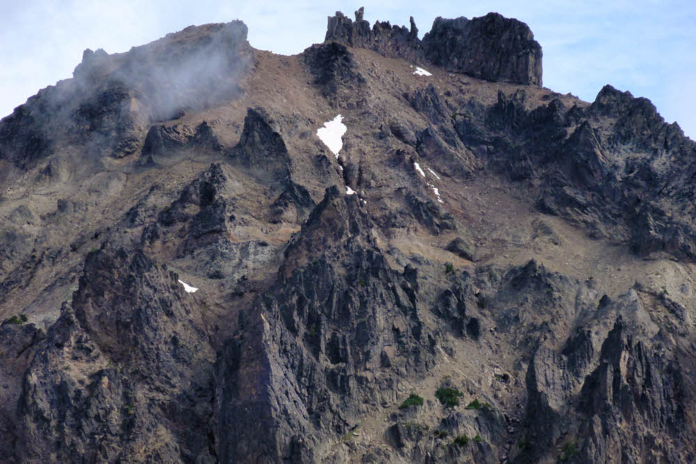
Or, as Becky Fred (Fred Beckey's former girlfriend) said, "A jumble of spires resulting from violent volcanic action, followed by periods of rapid cooling." Followed in turn by two million years of inactivity.
But enough of that. Back to the trail.
There's this other thing – looks like a volcanic plug.
I no longer have any of my nice Green Trails maps, and my current ones don't give any decent clues about this one, which leads me to suspect that it isn't really there, which would explain a lot.
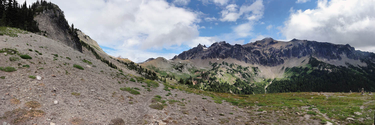
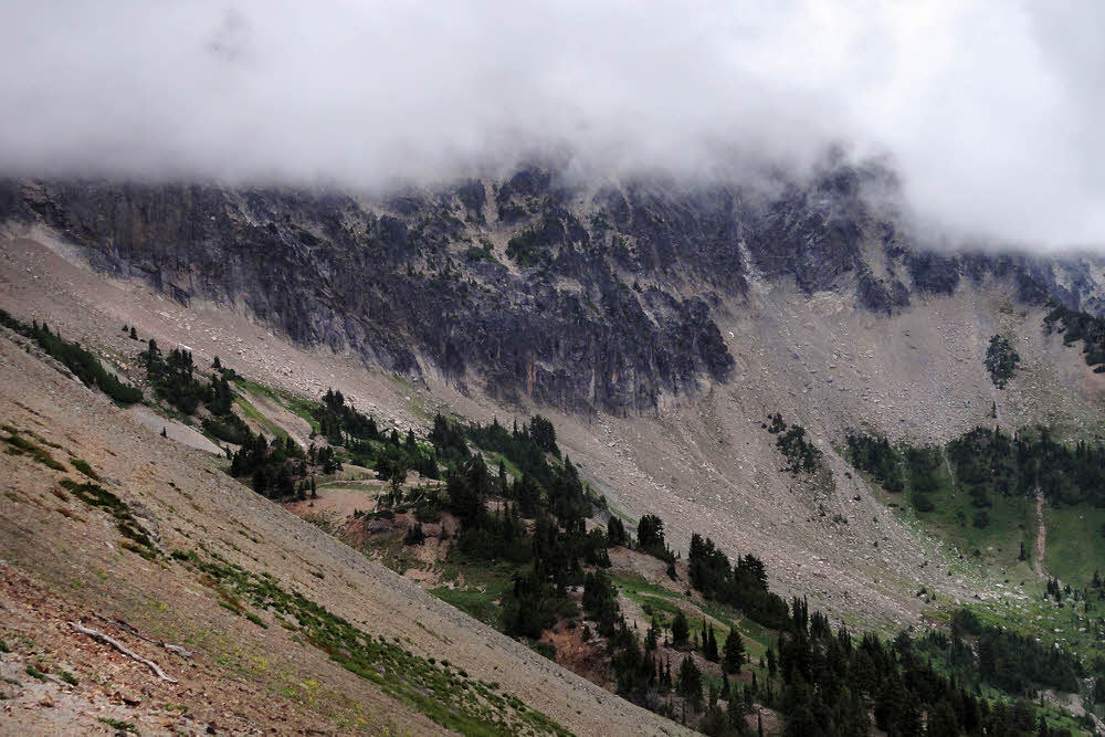
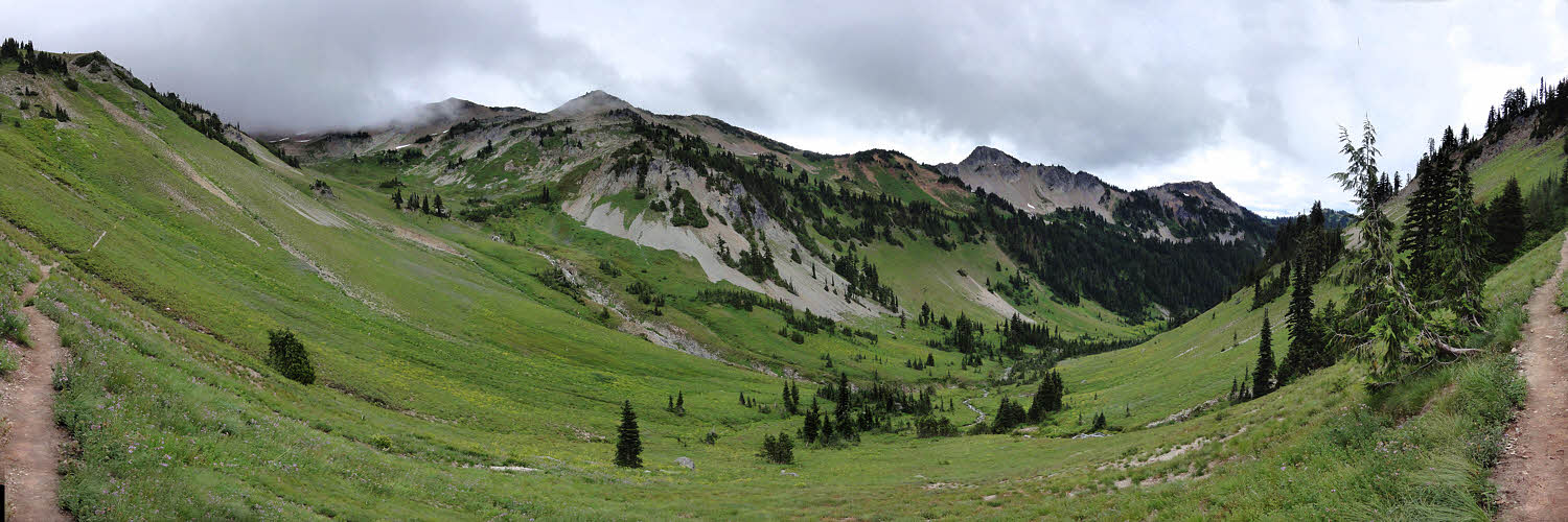
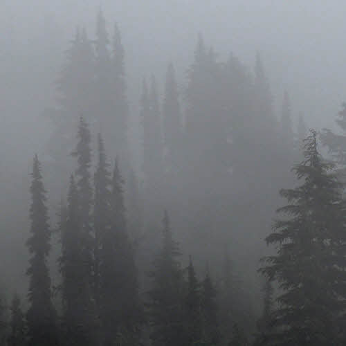
About then, as I drew nearer to Cispus Pass, I noticed that clouds were trying to sneak up on me from the southwest. They do that at times. I saw some of them scraping the ridge tops, which tells you about all you need to know about the intelligence of clouds. I mean, floaty and all, can go anywhere they want, and still they crash into mountains?
But quick to anger. I'm sure you've heard them growl, and at times they bite. Nothing that stupid should be allowed to play with electricity, but no one asked me up front, when there was still time to get the design right – they just went ahead and equipped clouds with heavy armament, and now where does that leave us? Oh, right – looking back over our shoulders.
Even Mount Gilbert seemed to be shaking its pointy things at me.
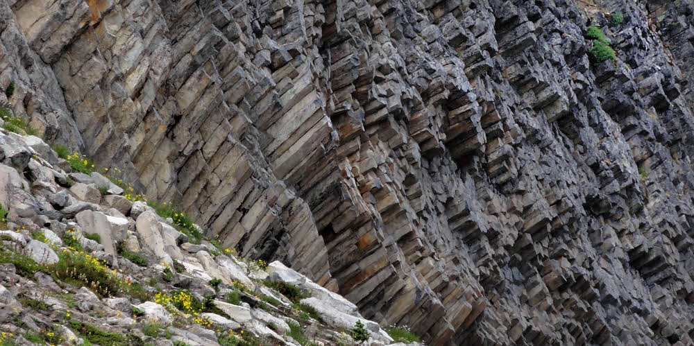
Meanwhile, over on my side of the valley, the columnar basalt was looking good. It's part of that two-million-year-old stuff, and has had enough time to cool and go chunky.
But to approach it, first I had to get past the dog. Dogs. They were all over. Everybody had a dog. Some people had two. I saw them coming in from all directions, but none leaving, so I had to do a lot of tiptoeing around them. Next time I'm bringing my cougar. Her name is Ellen and she likes dogs, which saves me a bunch of money on cougar food.
So I pointed across the valley and said "Damn, look at that." Dogs, being even less bright than most backpackers, are easily distracted, and it looked away while I scooted past before it noticed. I did hear angry barking about a half hour later, when the dog finally caught on, but, you know – too late by then, right?
Even stranger, there were what must have been mud slides along the west side of the valley, at least a dozen of them. These were long, narrow runners reaching down to the trail from 100 to 200 yards up the mountain. The soil was soft, as though it had been deposited wet and then had frozen before finally thawing and drying out. I've never seen anything like that before.
A bit farther up and closer to Cispus Pass I noticed that the clouds were gaining on me. I tried making myself small so they wouldn't see me but they weren't bright enough not to notice, so that didn't work.
They did help the scenery though. Somehow, sometimes, things look better when you can't see everything. I know I'm like that. People often remark on that quality of mine. It's like a talent, I think.
Since Cispus Pass is marked by a wooden board screwed into a tree, I found myself wondering what happens to the pass if someone cuts down that tree and takes it home? So I left it there. And does the elevation include how far the sign is off the ground? This information does not seem to be in any textbooks. Conspiracy? Hidden agenda? No one is talking, at least to me.
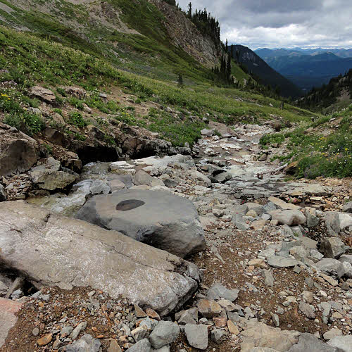
Up here, the Cispus River is laughable, but knowing how touchy some inanimate things can be, I didn't laugh at it until I stepped over it, and then not out loud, in case it had friends nearby.
Meanwhile, way down toward the southwest, the weather wasn't quite out of bed yet, but looked pretty rumpled and disorderly. It was still headed my way with its rain hair all disheveled.
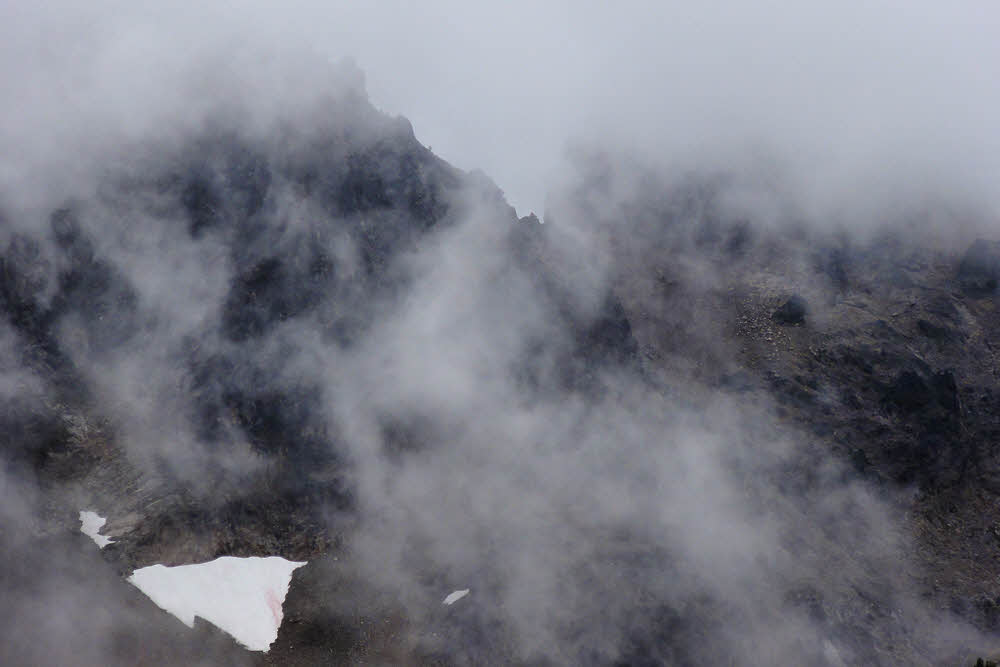
Even Gilbert Peak or Mount Gilbert or whatever was looking iffy.
Especially when I zoomed in on the rocky parts and found that they were deep in negotiations with some of those clouds. This is usually not a good sign, so I resumed skedaddling, in a northerly direction.
Some distance later I came to a boulder field, and while I paused to decide if I should lick any boulders to see how they tasted, I was accosted by a troll.
Prior to this, I'd thought that trolls were big and ugly, but this guy was cute as a squeaky toy, and tiny. He told me that he was going to gobble me up, but I said he should wait for the next backpacker, who was plump and much more toothsome. And had bathed more recently. After sniffing the air for a bit he decided that it would be better for both of us if I went on my way. Heh.
Just as I turned a bend farther down the trail I heard him squeaking that I'd better not be trying any tricks or he'd come after me. "Yeah, right," I thought, "On two-inch-long legs." The next backpacker to come along was that woman, who got her gaiters seriously twisted for being referred to as plump, and set her dog on the troll.
But when things calmed down he did come after me, in his airplane – sure it was small, but it worked, and I had to hide under a log for the rest of the morning while me made repeated strafing runs. Finally, after a really long time he gave up, for lack fuel (or ammo), or because some other more plump and relatively more toothsome and less aromatic hiker finally did come along. At least it wasn't me.
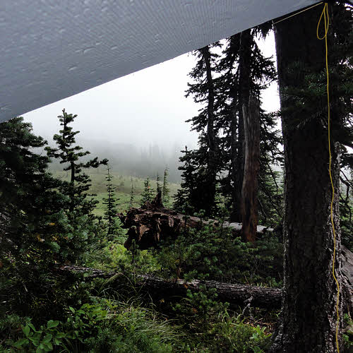
Or maybe it was the weather that grounded the troll, because all that gray stuff off to the southwest had finally caught up. Then it lunged and dumped liquid sky all over. I crawled out from under my log, but had to duck into a grove of trees and string up my hammock fly and cower under that. But since I had food and fuel and drinkable water, I decided to give lunch a go, and wait.
This turned out to be a lot more fun than standing out in the rain with my tongue hanging out, and I got a couple of photos of the clouds as evidence in case I ever get hauled into court to testify about where I was and what I was doing at noon on August 26, 2013. Under a tarp, munching, peeking out, and swearing. More or less in that order.
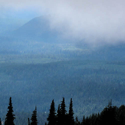
Eventually the clouds drained themselves dry and went off to bother someone else, and I went back to hiking. There was a nice view off to the southwest by then, but all nice views are off somewhere, aren't they? This one looked sunny in a gloomy sort of way, and, as noted, it was far off.
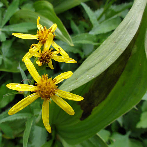
I saw more plants, with flowers on them, all of which seem to like clouds and rain more than is healthy.
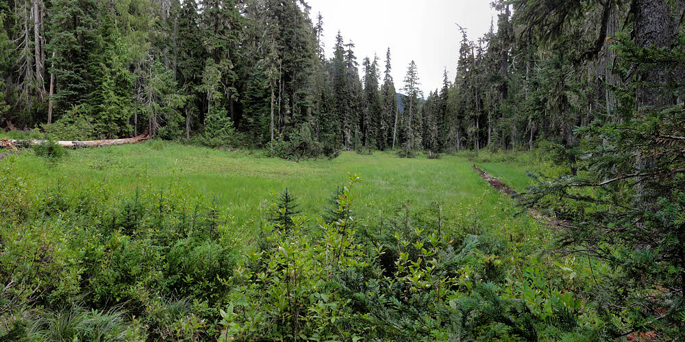
And then there was a sad meadow with more plants, and trees (Which also are plants – who knew?) around it. And then I got to the edge of the world, and it was mostly downhill from there, which was comforting in a way, since my life is normally like that and I know how to work a downhill drift.
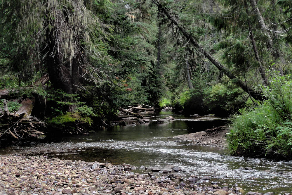
But before the end of everything I came to Goat Creek, off to one side. (No goats there either, just water.)
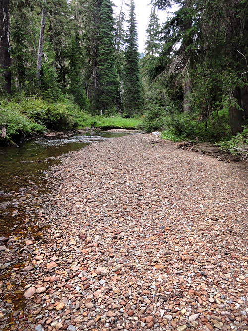
This turned out to be choice. (The creek and gravel bars and the forest and all.)
The trail is heavily used but since the trail crosses the creek so close to the parking lot (around a mile up / 2km), it isn't worth anyone's time to do too much searching for campsites there. Maybe earlier in the season, but not when I was there, so I had the place to myself, and to get to the creek a person has to go off-trail on spec and wander around here and there before finding the payoff.
Most of the season's bugs were down by then too, and it was cool but not unpleasantly damp, and quiet. There was gravel beach (no mud) to walk on and cook on, and a pair of trees in just the right place for a hammock, so I had a good last night.
More, kinda:

