While scouting for a Memorial Day trip.

With my first 3 megapixel digital camera, a little Kodak. First up, the lahar flats a short distance above Lava Canyon. Looking west toward the cinder cone, temporarily lost in clouds.

To the northwest, across more of the lahar. The Ape Canyon Trail skirts the near edge of the background ridge.
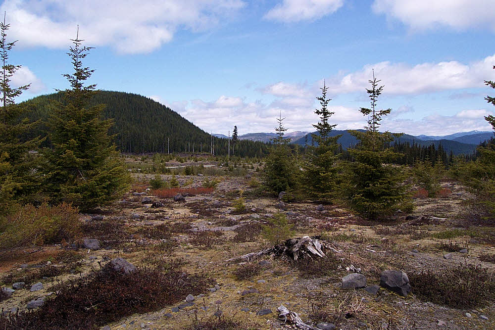
View east. Mount Adams is behind the background butte, and to the left (north) of it.

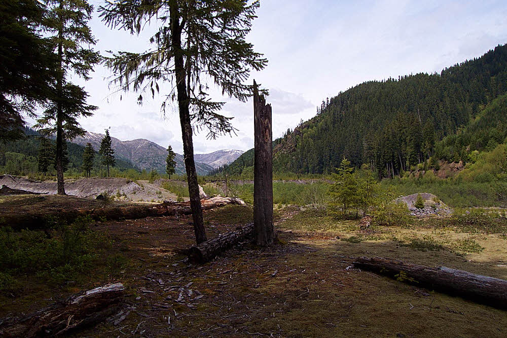
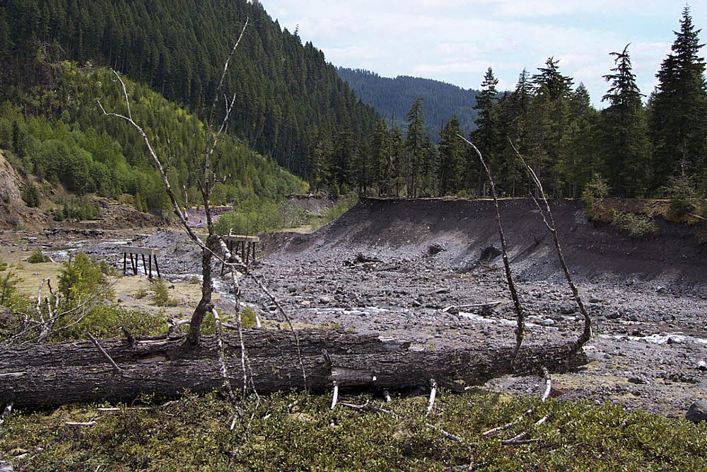
First view of Smith Creek valley.
Parking lot in that location. Used as a campground by elk hunters in the fall. At least it used to be. I don't know if you can even get there any more.
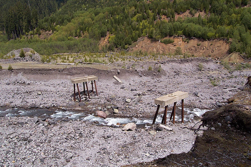
Choice. There used to be a killer-fine footbridge here. Then a winter storm came along and washed away both the east and west approaches, leaving the bridge inaccessible. It was helicoptered upstream half a mile or so.
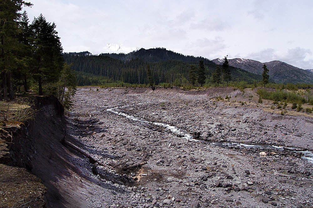
A look upstream. The first several times I hiked through here, the bed of Muddy Creek (shown) was only 50 or 60 feet across.
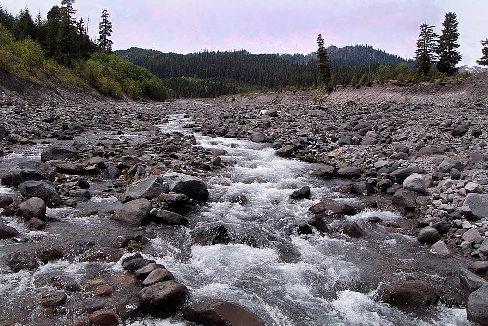
View from stream level.
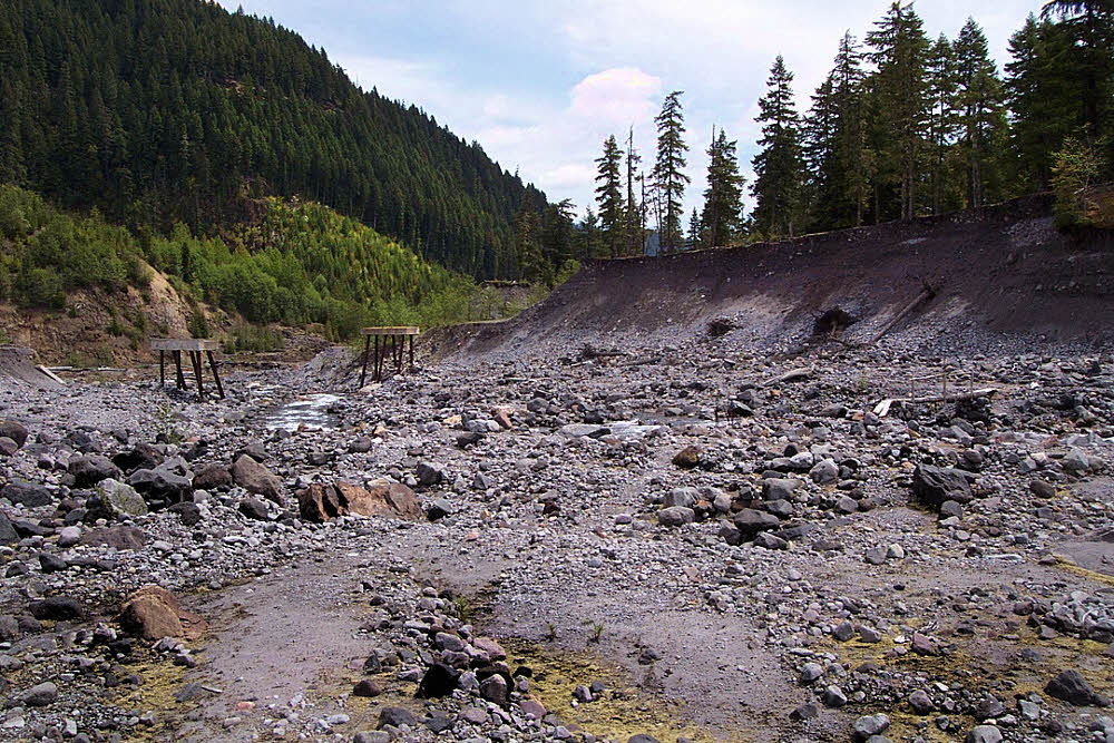
Looking back down Muddy Creek. There is a temporary footbridge barely visible to the right.
In those days, the valley of Smith Creek still had remains of a road running through it. In 1996 it was great walking. By 2001 there was little of it left. Last time I was there, around 2006, the whole area was nearly impassable (on foot).
Another view of the the bridge supports and the footbridge.

Smith Creek. This was actually a great year. Mid-May. Fantastic weather, though some of the roads were still snowed in (but open a week later for the Memorial Day weekend). I've been out in that area as early as April 30 one year (around 1997 or 1998), when everything was accessible. Not so for the last decade or so.