From June 2001.
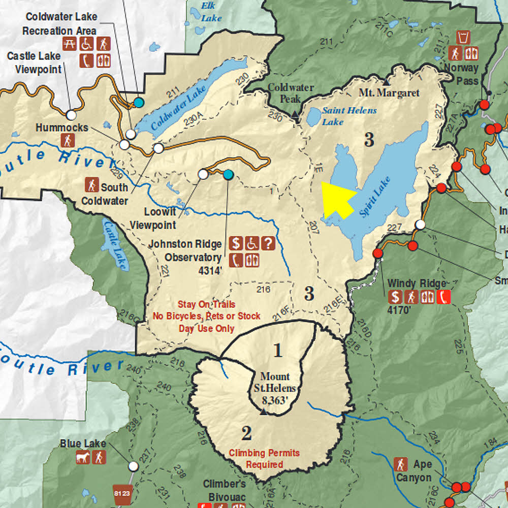
Area map. Look for the big yellow arrow, eh?
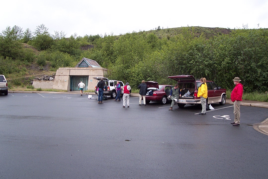
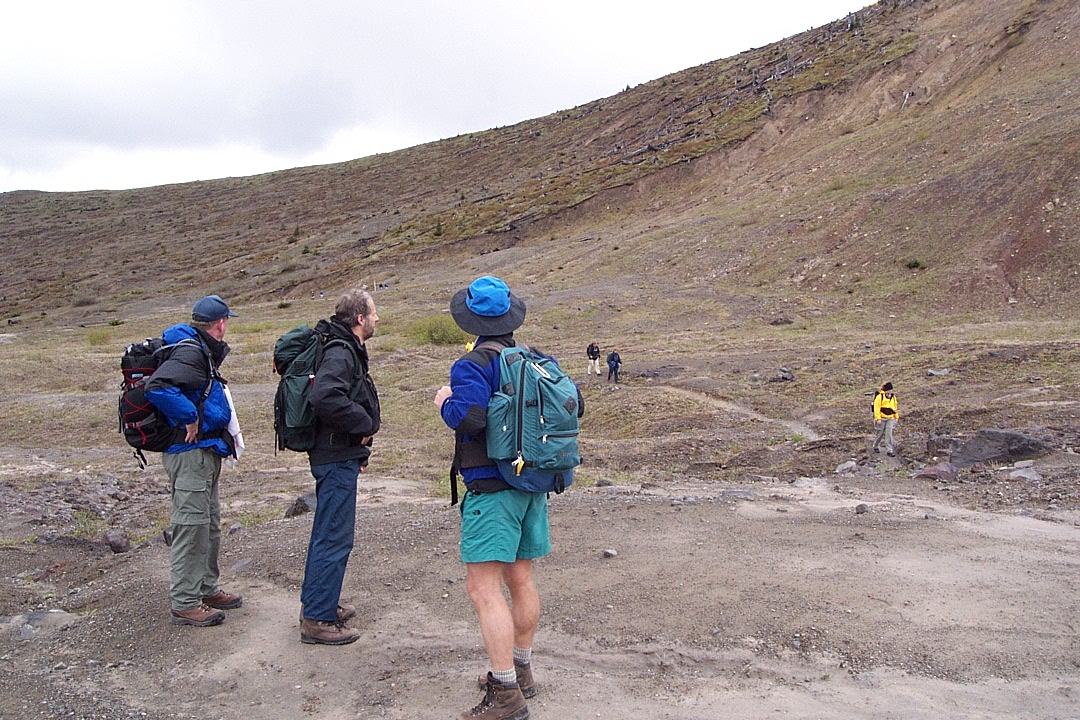
Arrival at Johnston Ridge parking lot.

Sometimes the edge of bad weather is the best time to be out.

Or it can mean you're screwed. Hey.
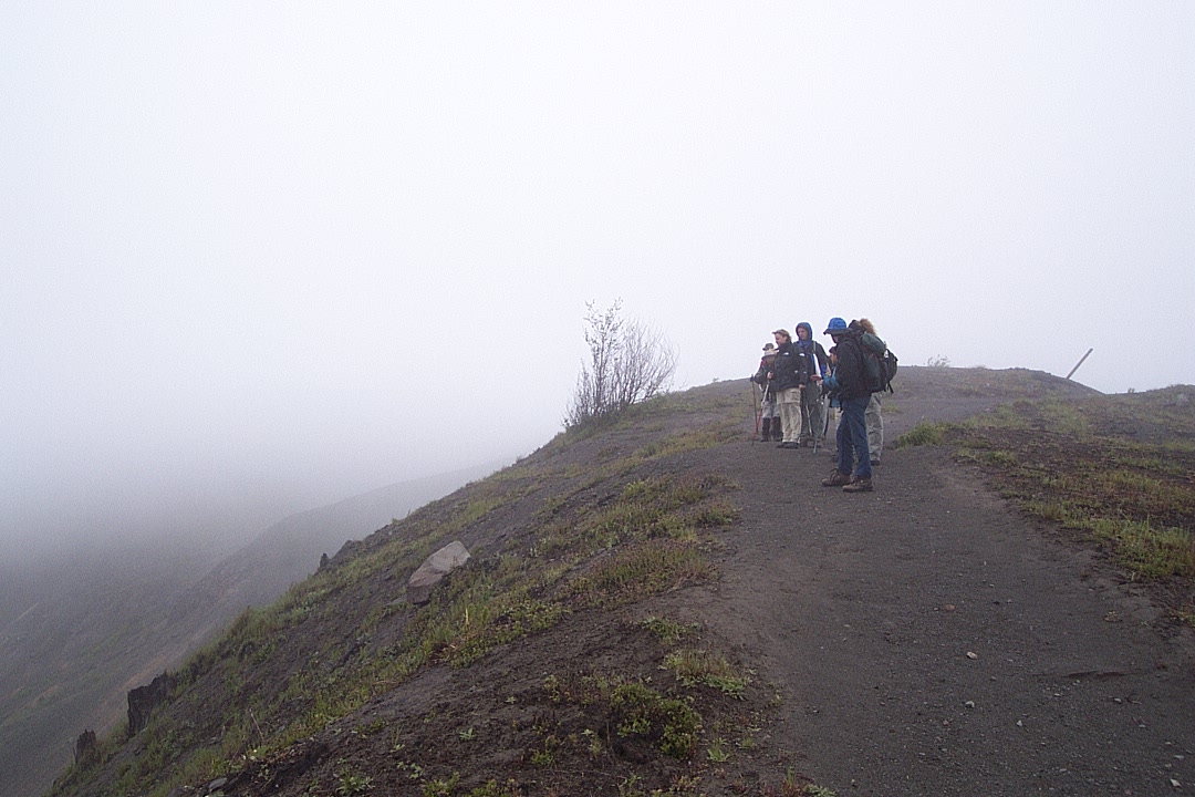
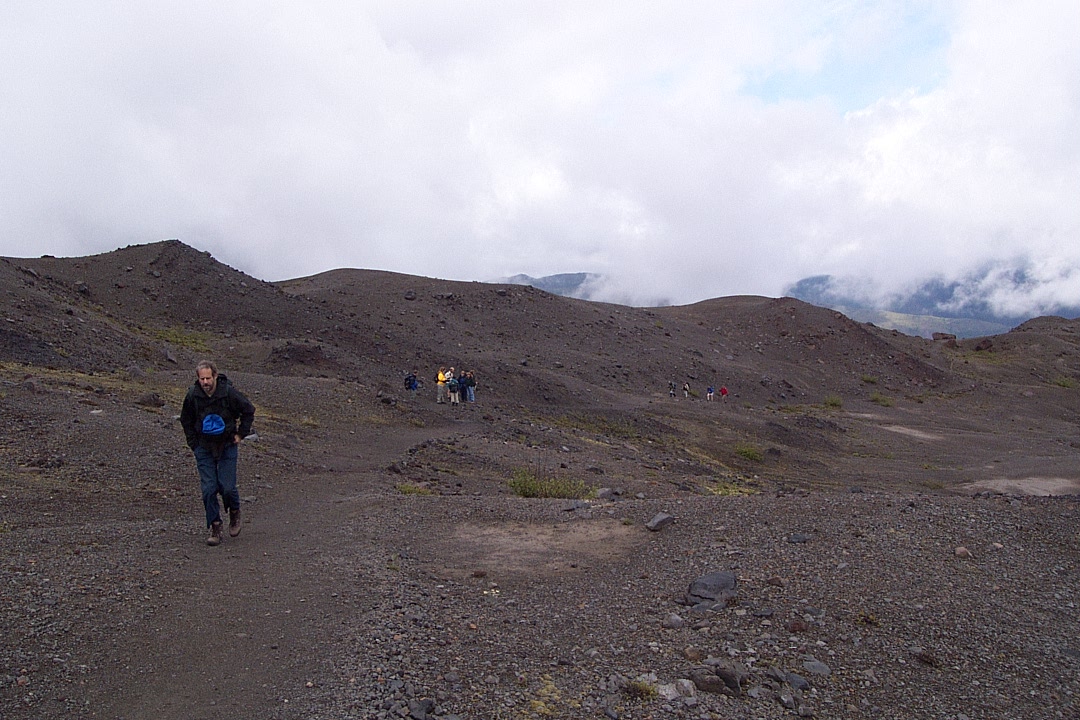
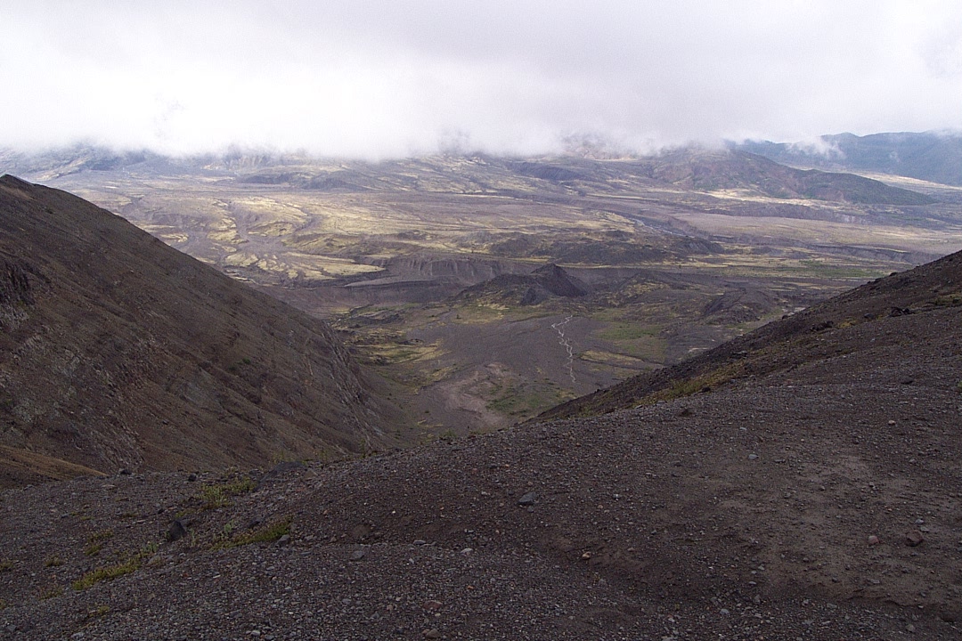
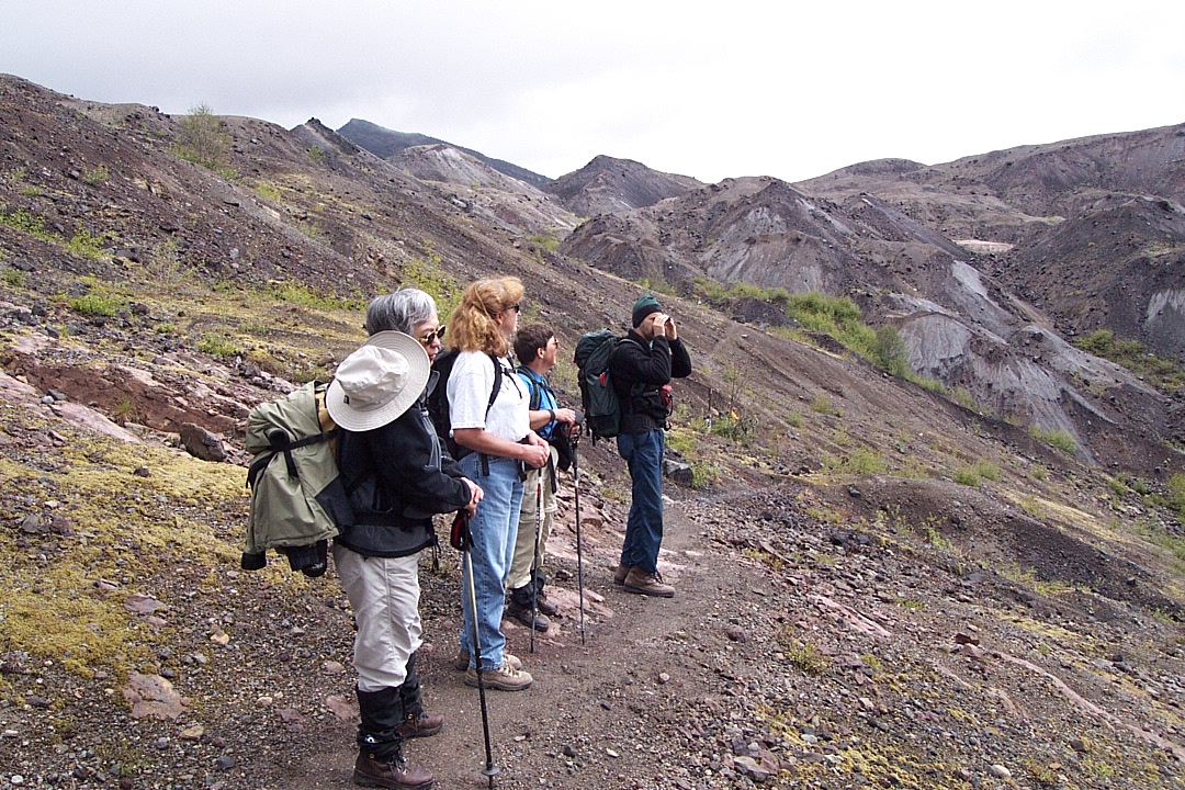
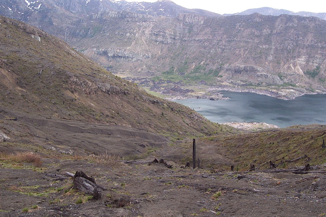
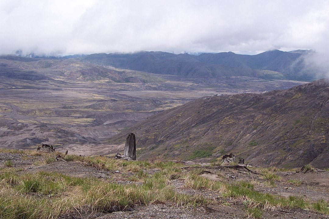
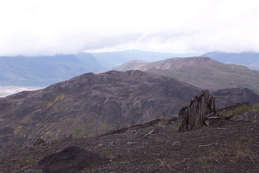
A bit east, at the start of the hike.
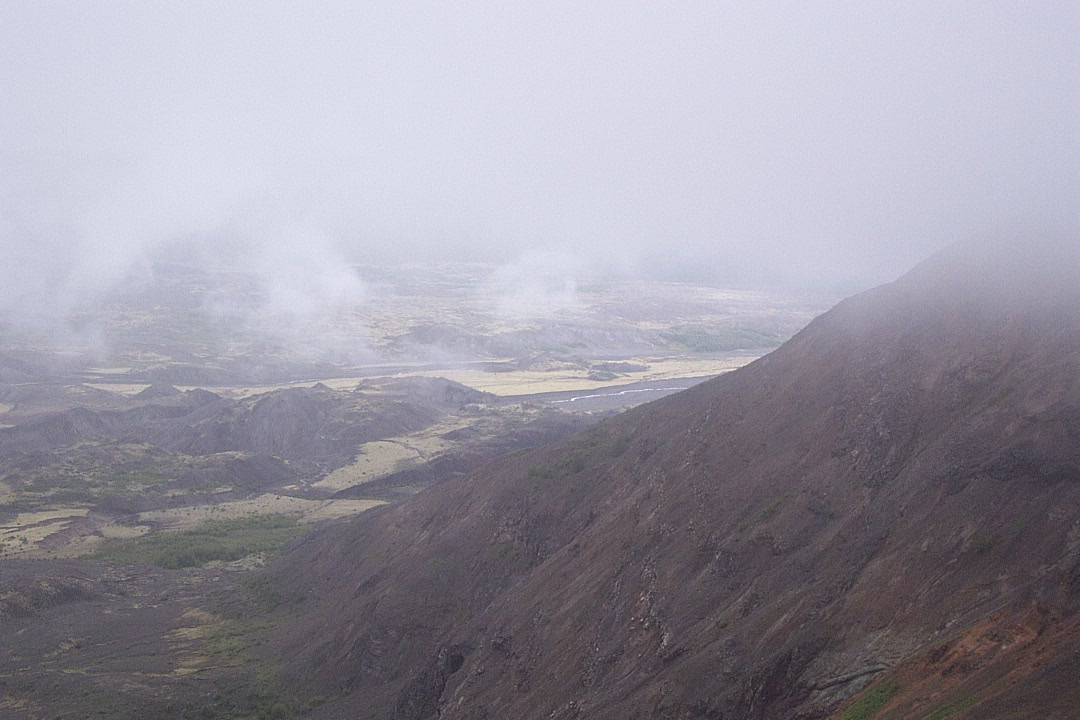
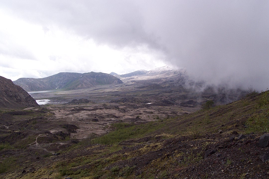
Meanwhile, down in the blast zone, a hopeful sign.
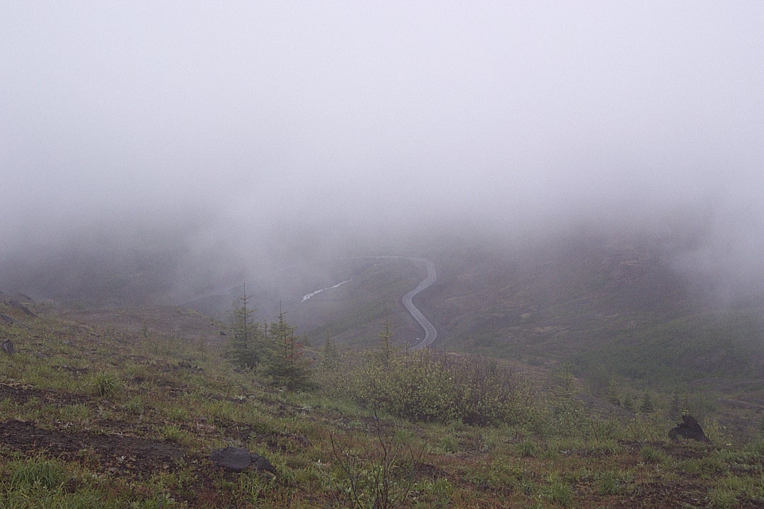
A view of the road coming up to the visitor center and parking lot.

As I said, sometimes "bad" weather can be good.
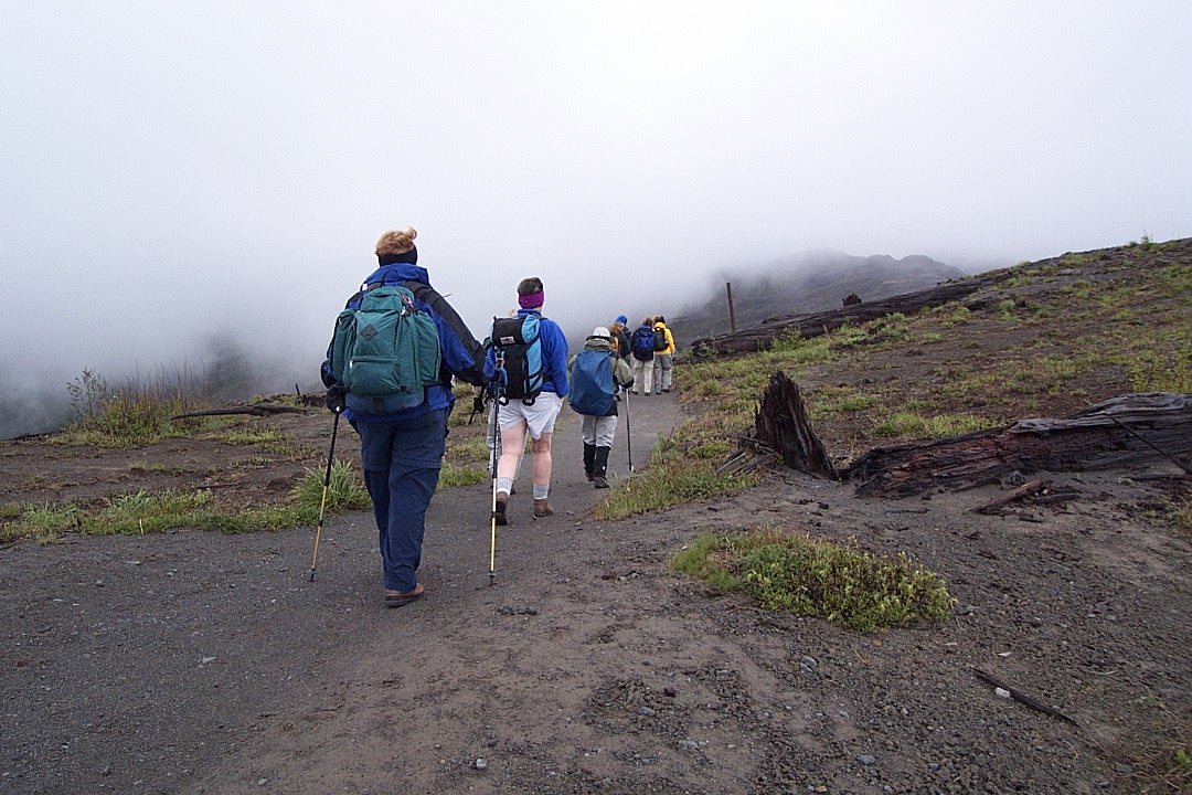
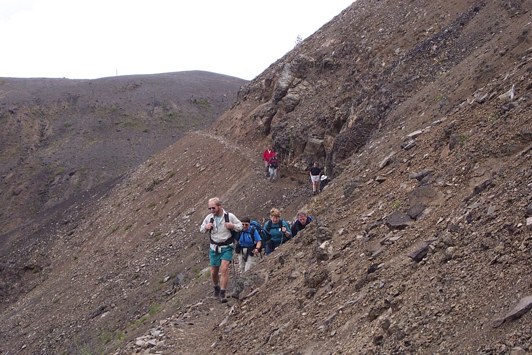
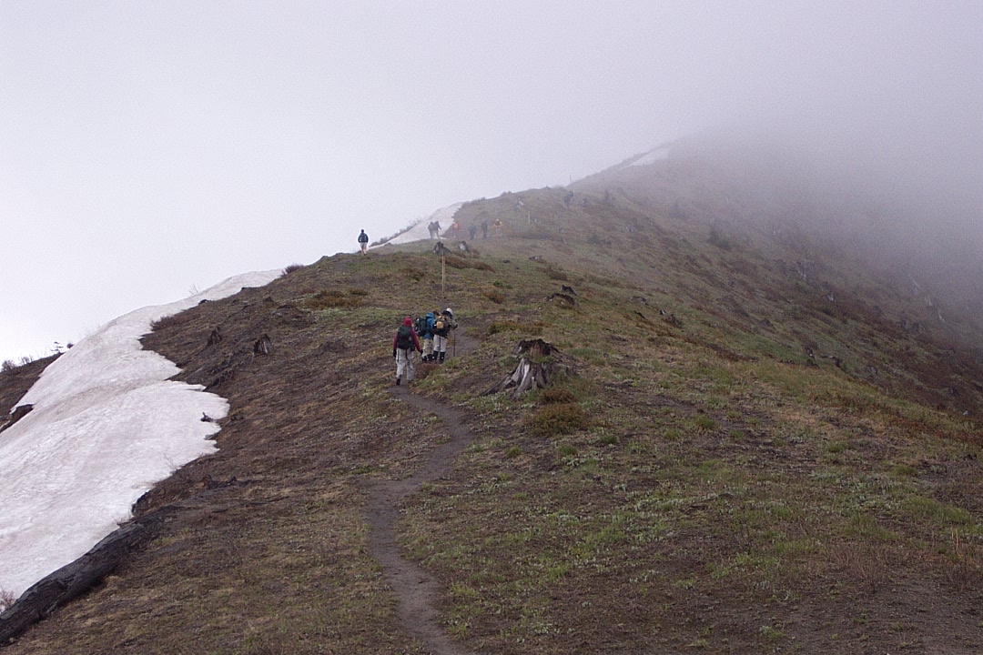
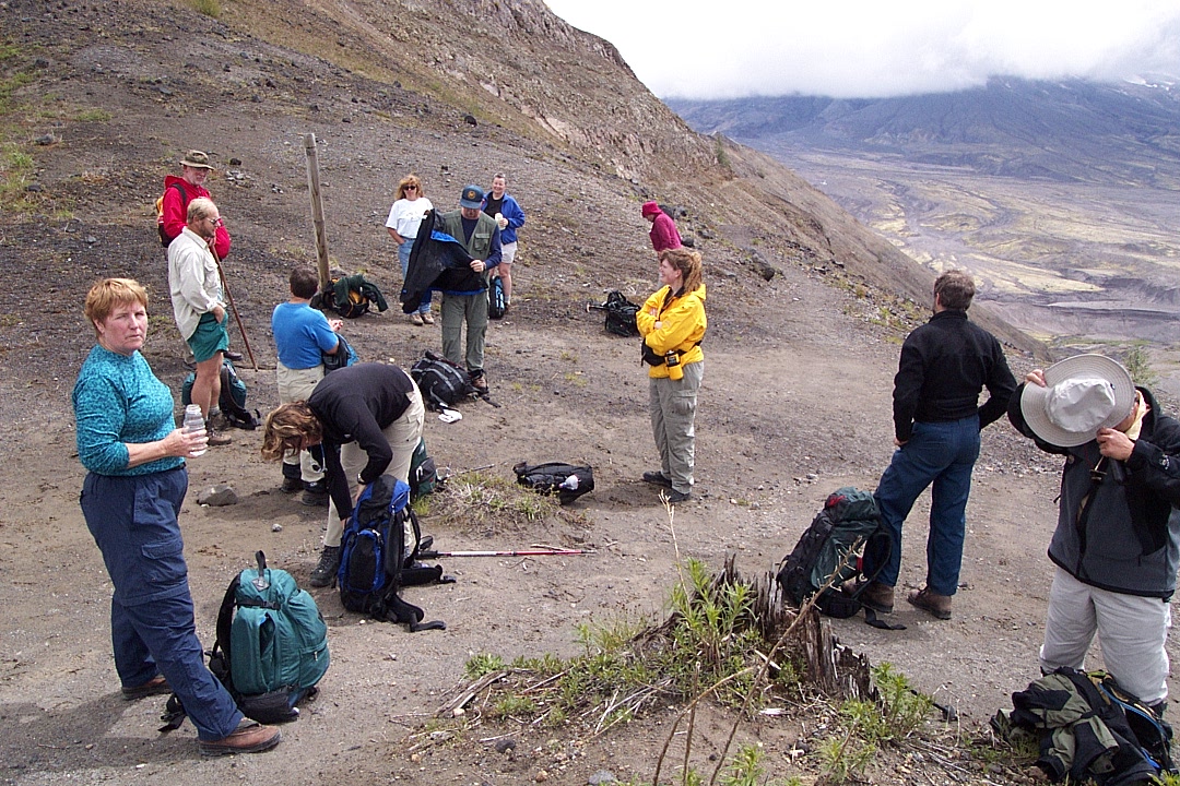
Let the tromping begin.
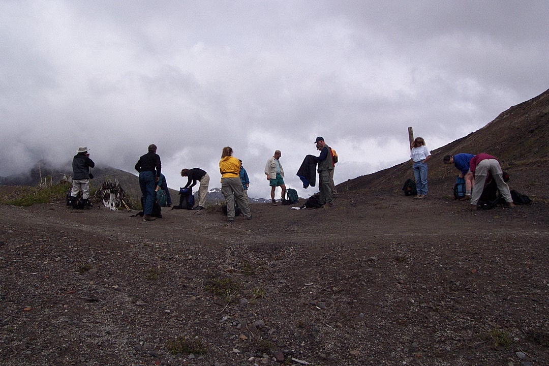
Crew, motley, one each, resting phase.

Really — lovely day.
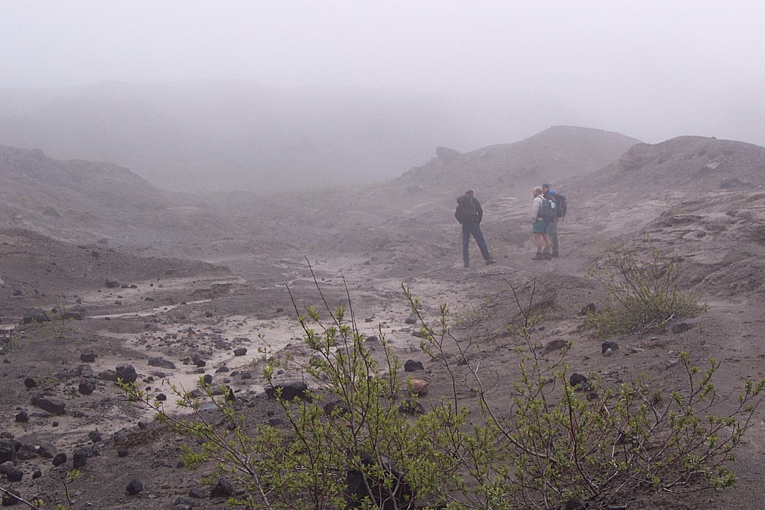
There be fog!
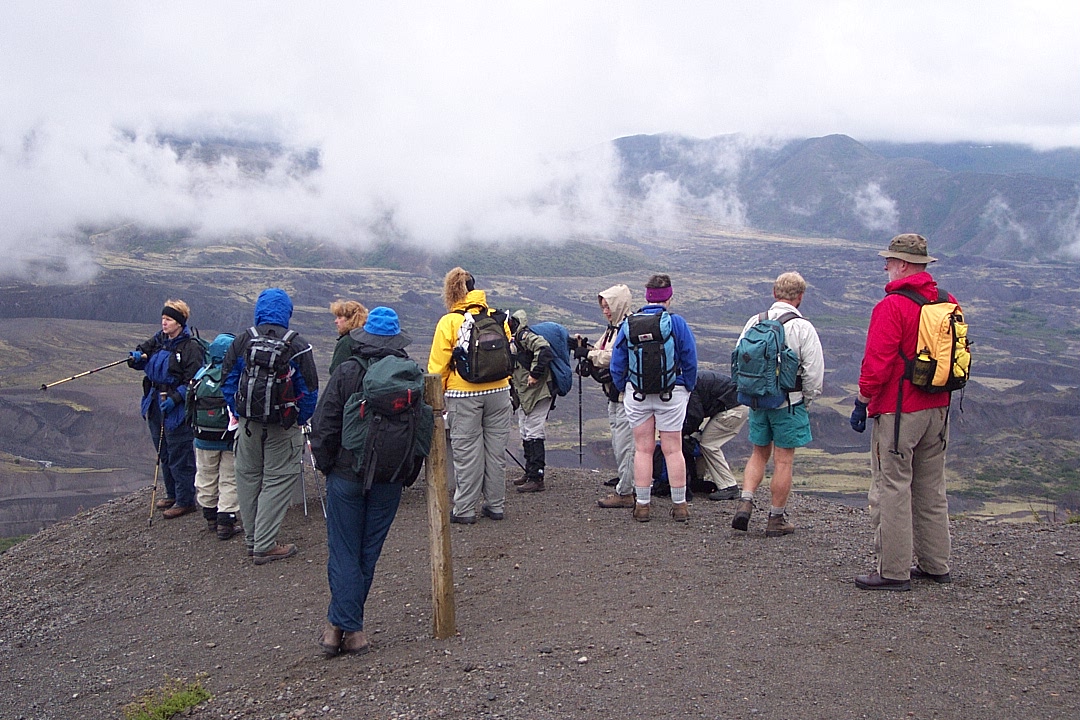
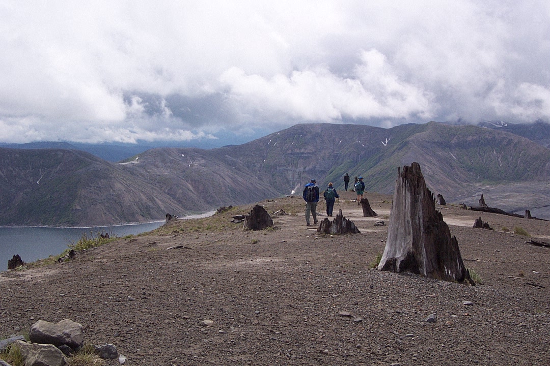
The view from the advance party.
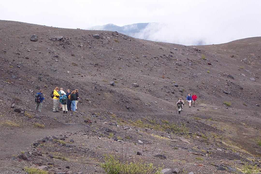
Some dither, some hike. Some only take pictures.
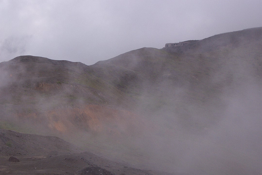
Attack of the killer fog.
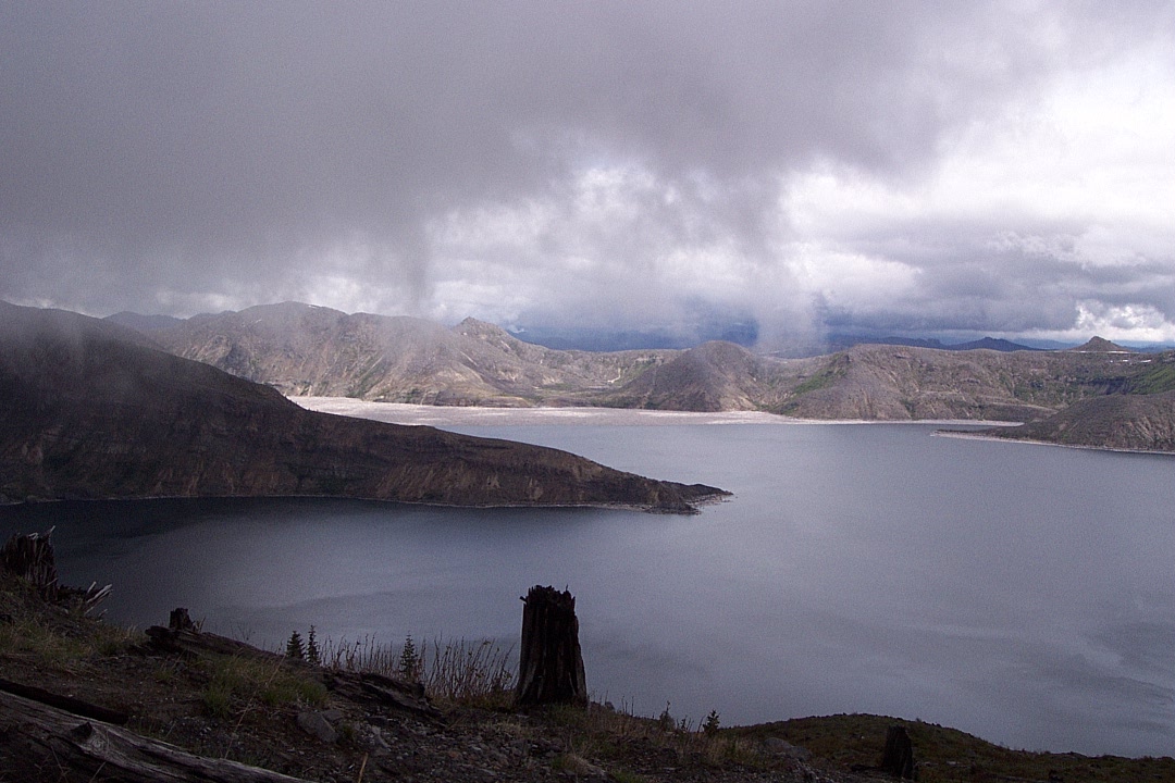
Fills the valleys, it does.

And rises, spilling over the ridge

Time for another break.
A bit of pseudosun.

Yet another break (these people get it).

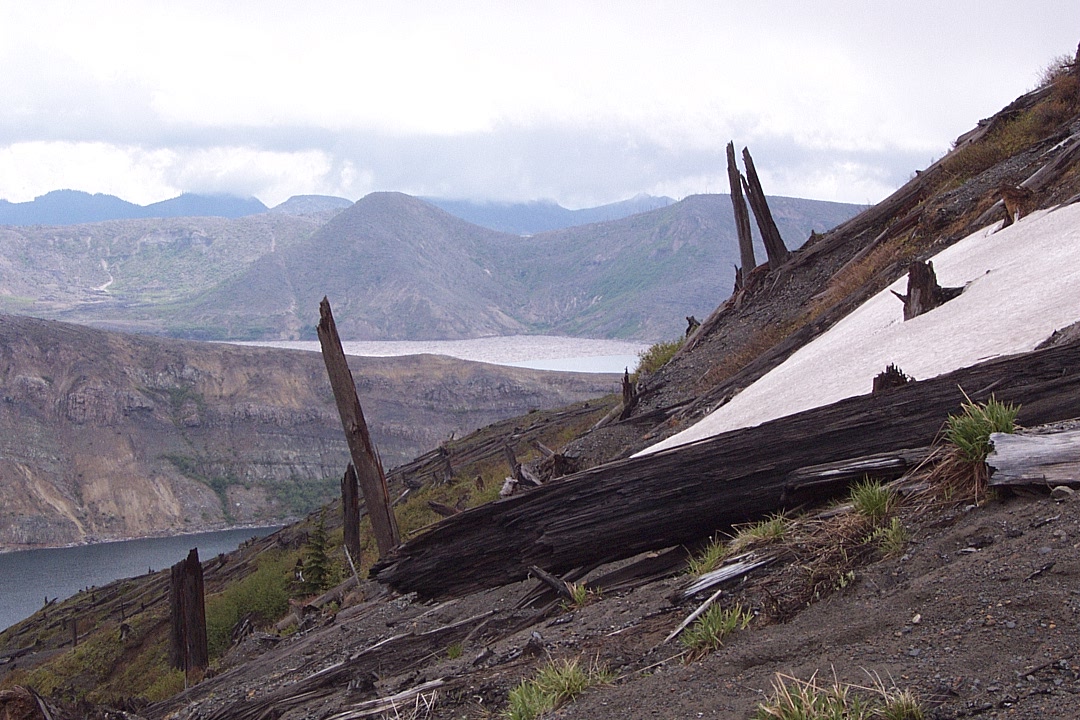
It's a wonderful landscape, and fine to explore when damp (no dust).
Then we skirt a finger of land above the abyss.
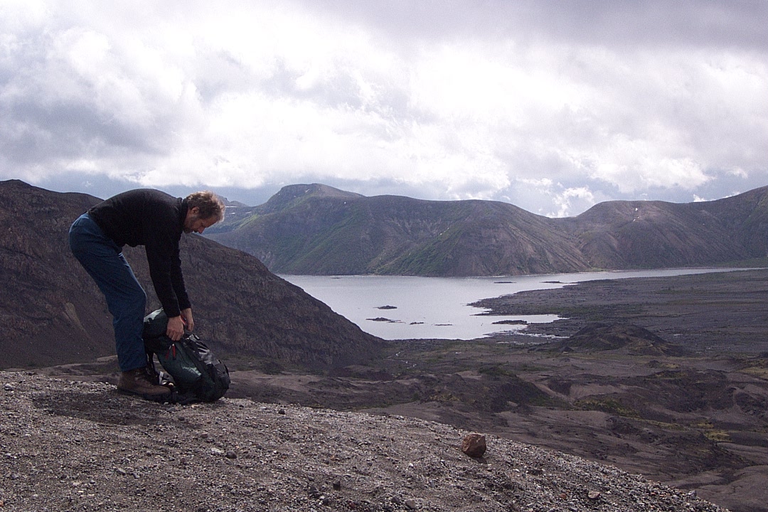
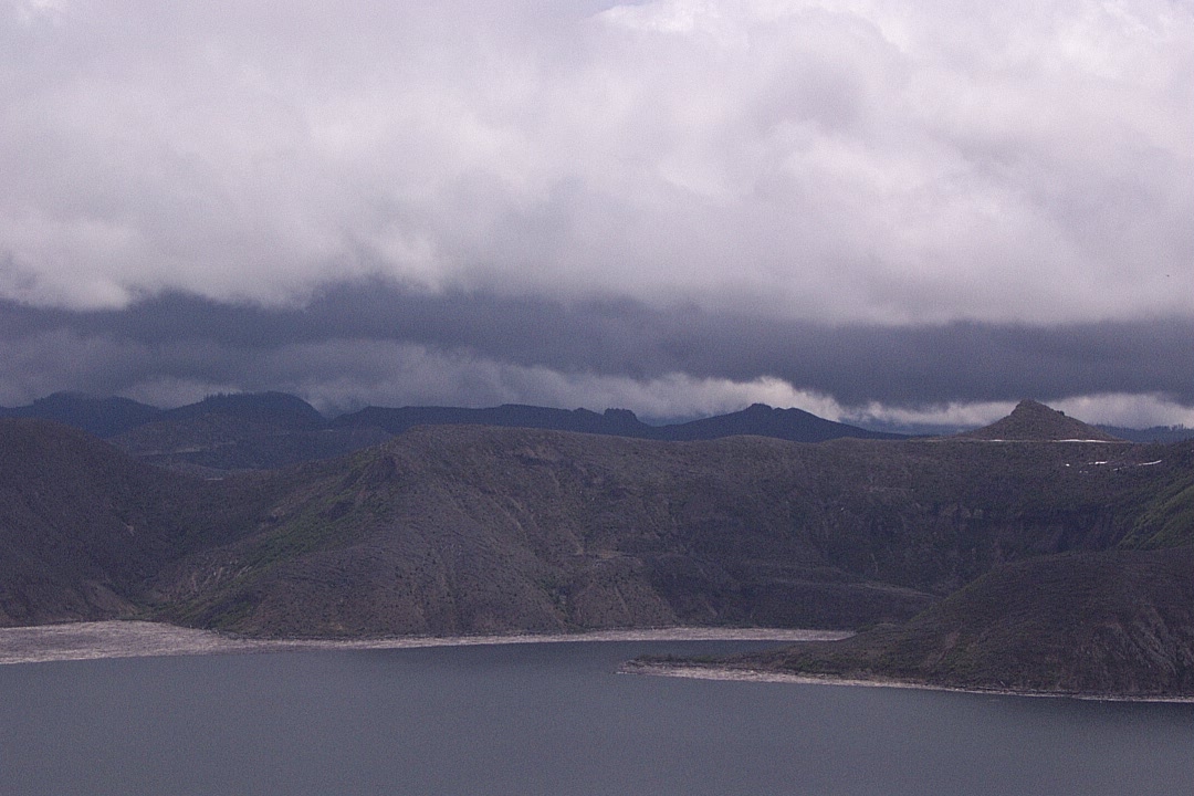
The upper end of Spirit Lake appears.
Toward the mountain.

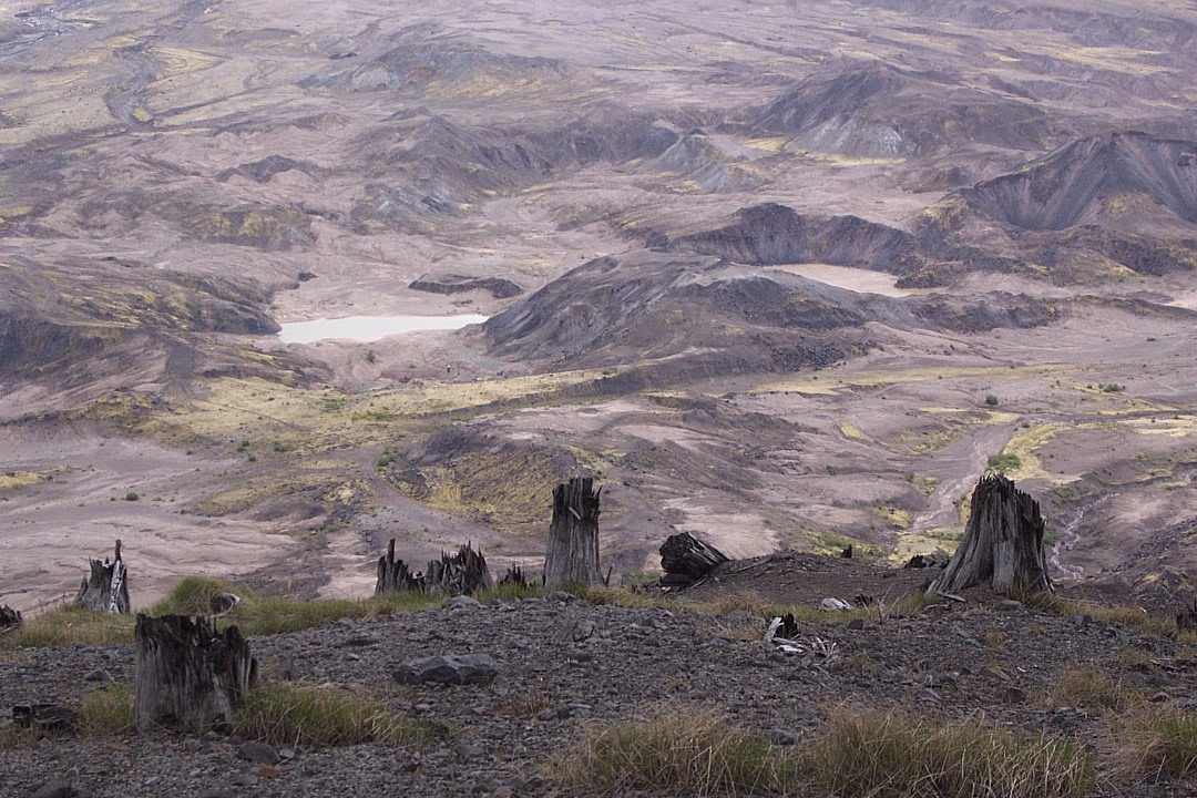
The "hummock" area. There's a trail through there, you know.
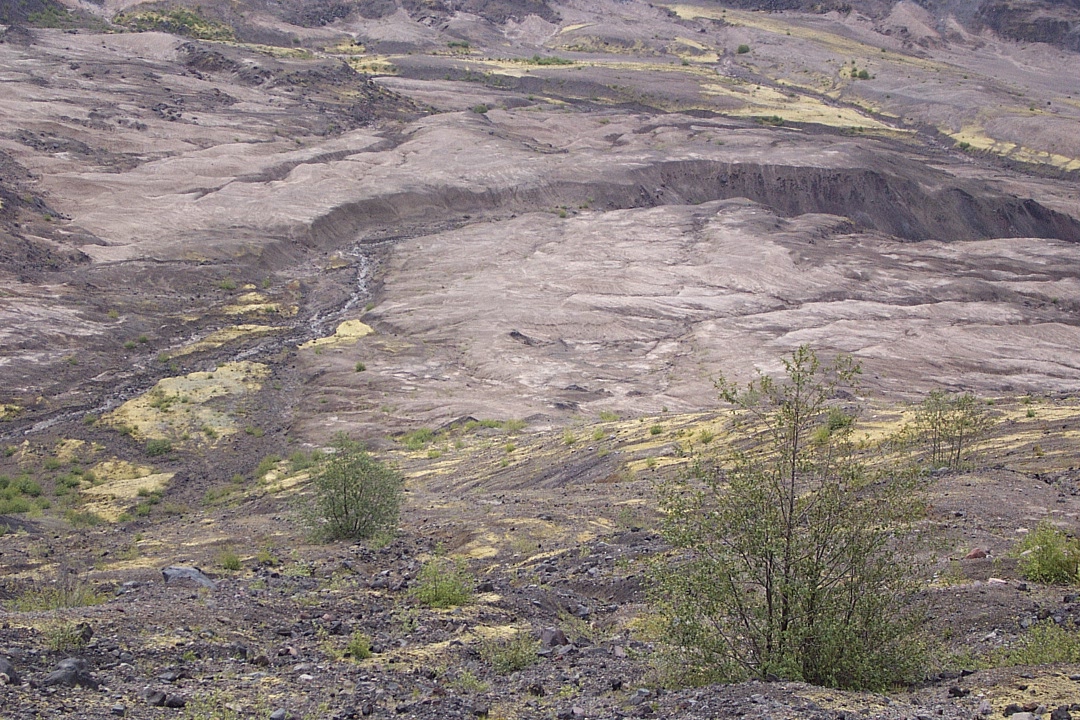
Right below our feet, things suddenly become interesting.
Back to the mountain — fog or death-gas?
More hummocks, still inviting.
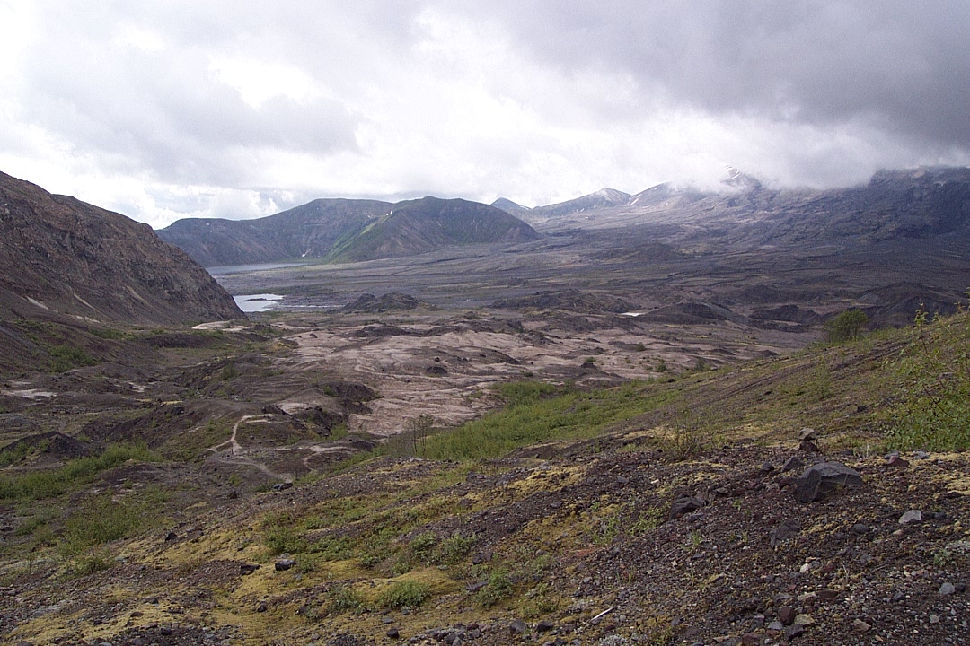
The tip of Spirit Lake, Windy Ridge in the far background.
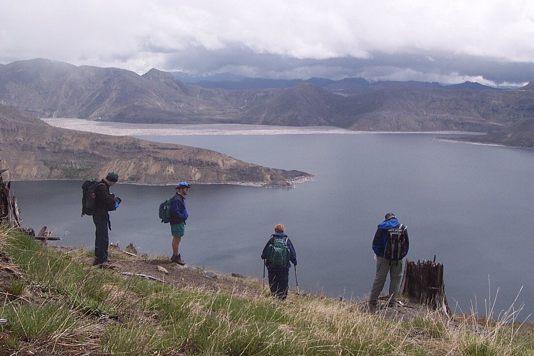
Over and above those hummocks is Harry's Ridge.
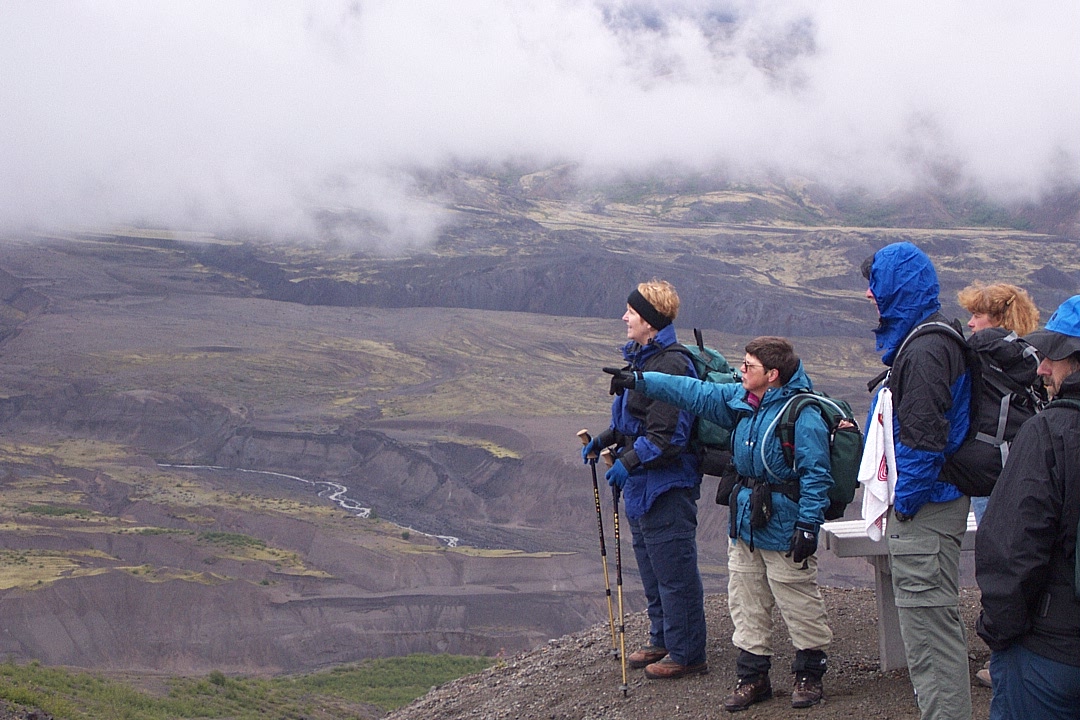
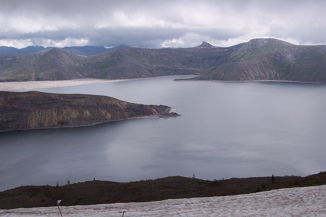
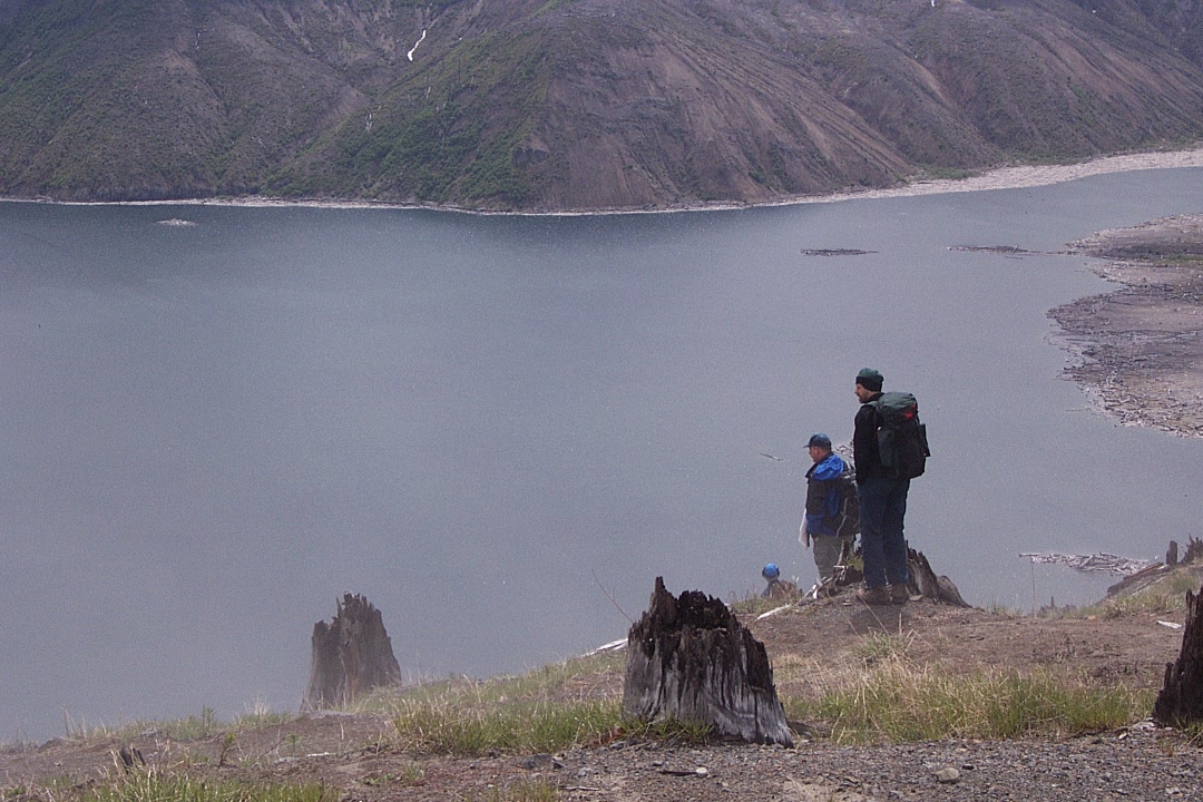
What they're looking at — Spirit Lake on left.
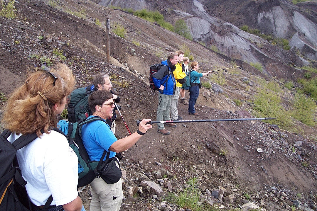
And an example of how to use trekking poles.
Here come da fog.

An shrubbery was caught before it could get away.
Likewise with three hikers who became mired in foggliness.

The landscape too — trapped, all trapped.

Even the distance was locked up by the all-enveloping fog.
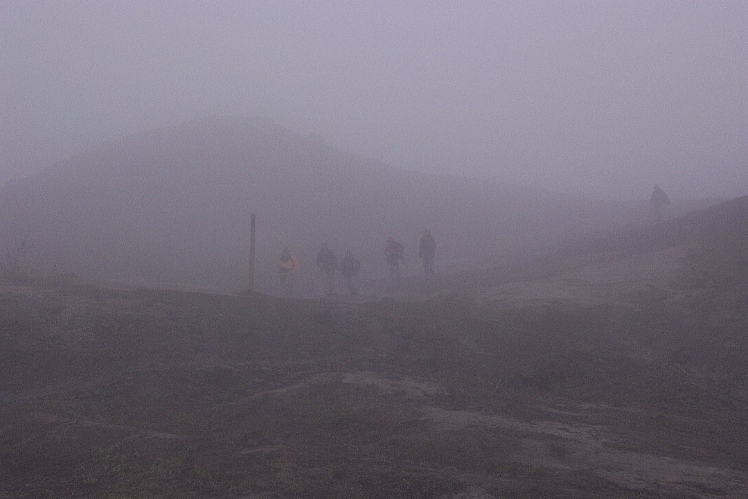
Six hikers tromp by a trail marker — toward what? What?
Ahhh — now we see. The upper (northeast) side of Spirit Lake.
Hikers in landscape may appear much smaller than they are.
The way upper end of one lobe of Spirit Lake.
Across Spirit Lake toward Windy Ridge.
Bottom: snow. Upper left: floating logs from 1980 (21 years before).
We go south-ish, up to the actual Harry's Ridge.
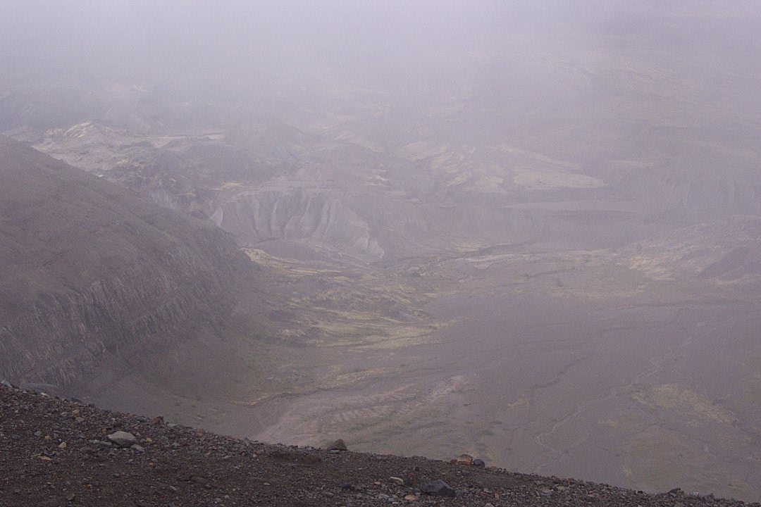
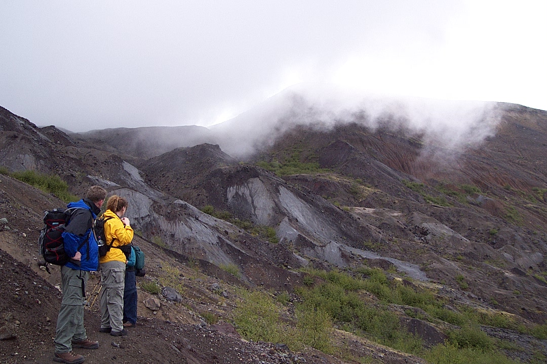
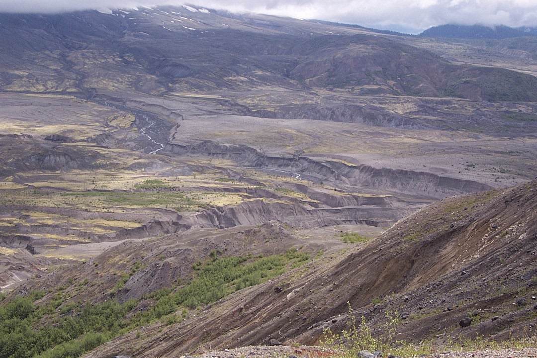
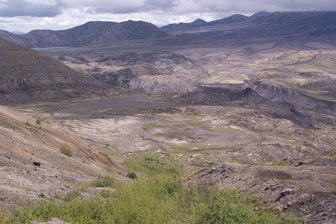
Near the top, there are more views of the blast zone.

Up on top of Harry's Ridge — kinda bare.
Still not much there after nearly a quarter century.
But it's great for views, like this one directly above Spirit Lake.

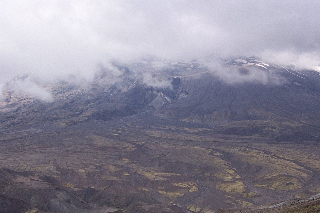
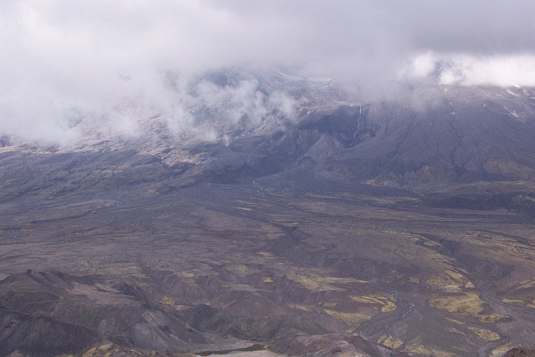
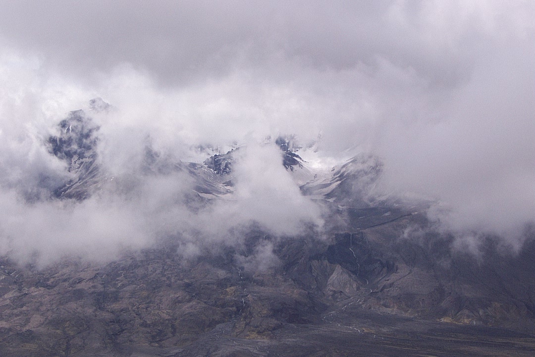
Meanwhile, the actual mountain seems to be enjoying its fog bath.
A closer look into the crater.
Looking mostly east, and a little north.
Straight across east, toward Windy Ridge, which one can drive to.

The stumps are from snapped-off trees. The rest blew away.

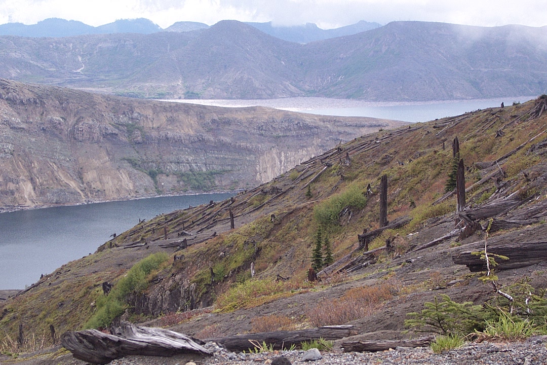
The southwest end of Spirit Lake, and its eruption-created earth dam.
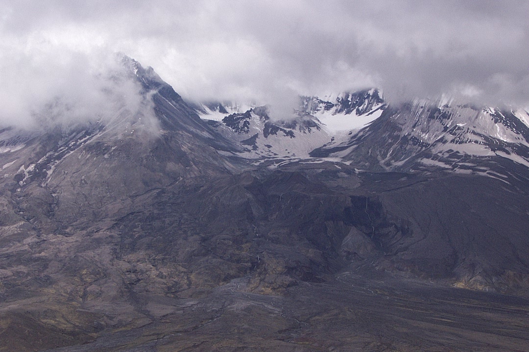
The crater clears for a moment...

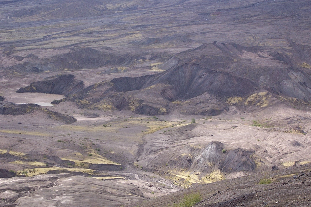
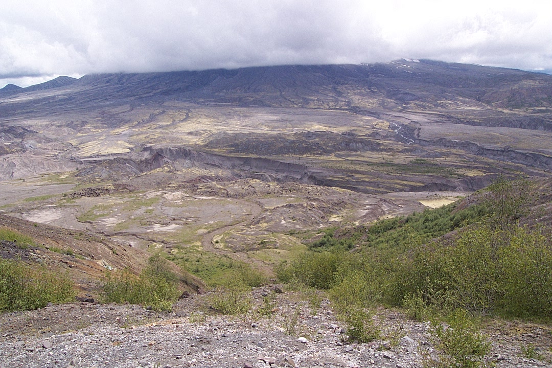
The main part of the blast zone lies right beneath it.
Then a little sunshine with clouds coming and going.

From the southern end of Harry's Ridge, past the end of Spirit Lake.
And a little farther off to the right (west).
A look down onto the "hummocks" area from above.

Time to go, and it's all uphill from here.
No more fog, but plenty of time for a break.

The route back west toward the Johnston Ridge visitor center.

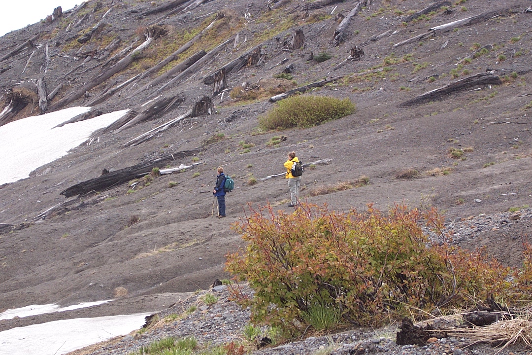
The delightfully steep part.

No — seriously. Steep.

I forget which one this is. Still nice to see it.

Very colorful. Close to the actual colors.
After an up-and-down trudge, time to shed some insulation.
Almost sunny again. Good excuse for another break.
And the view from there, directly toward the mountain.
The blast zone a little to the west.
And back east toward Windy Ridge (background).
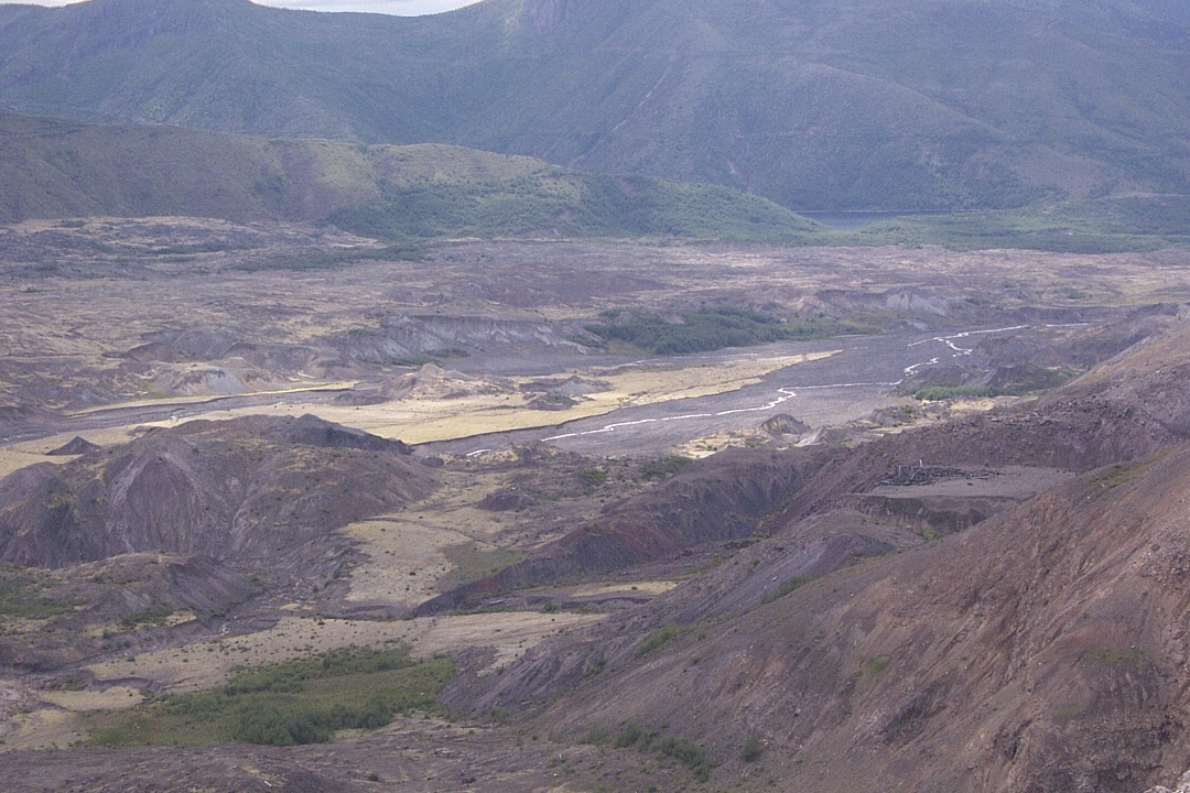
Upper Toutle River way down there to the west.

Just about back to the parking lot. The end.
More:
Harry's Ridge at Washington Trails Association
Harry's Ridge Hike at NWHiker
Harry's Ridge Trail #1E at Mount St. Helens National Volcanic Monument
Recreation Vicinity Map (pdf) at Mount St. Helens National Volcanic Monument
Mount St. Helens Visitor Map (pdf) at Mount St. Helens National Volcanic Monument