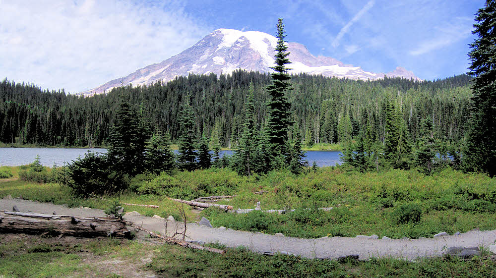
These are photos from my second trip around Mr Rainier. I think this first one is from Reflection Lakes. (Hints? What were the hints? Reflection — probably a good guess. See the "Wilderness Trip Planner & Map", below. The map is on the PDF's second page.)
Stevens Creek
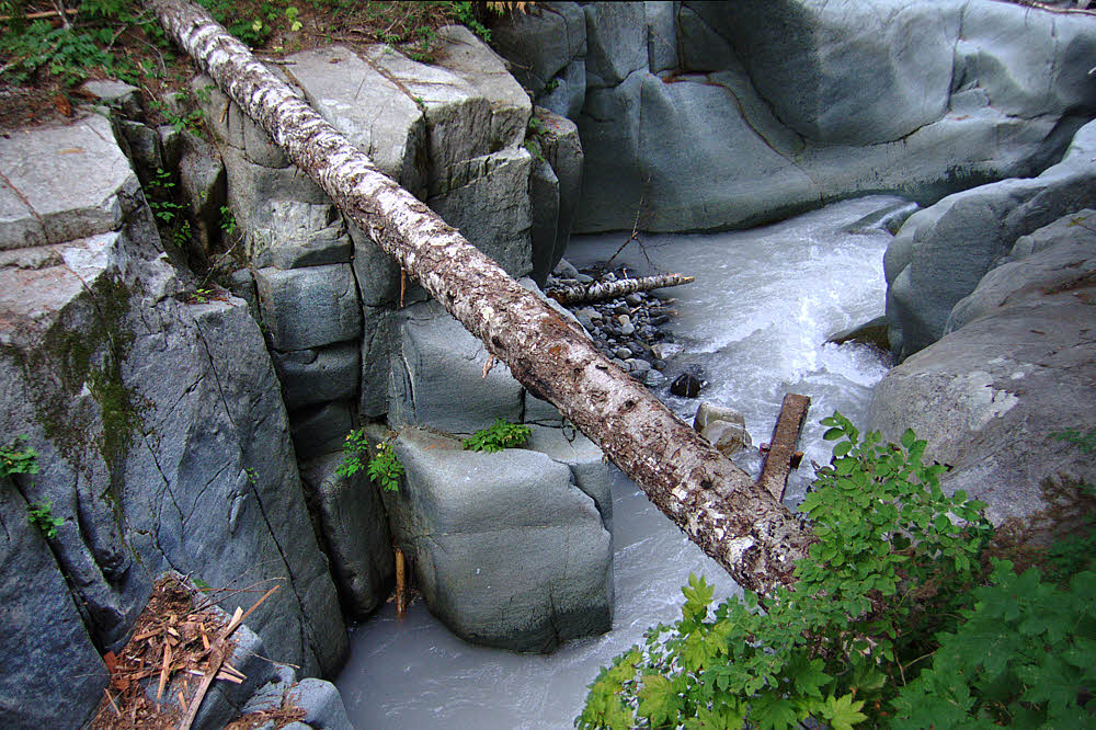
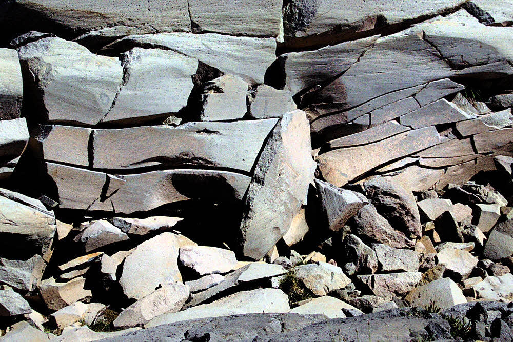
I have to work from the map. This was a while ago now, 10 years, and although the emotions are still fresh the details aren't. The image just above is of lower Stevens Creek, which is pleasant to hike along.

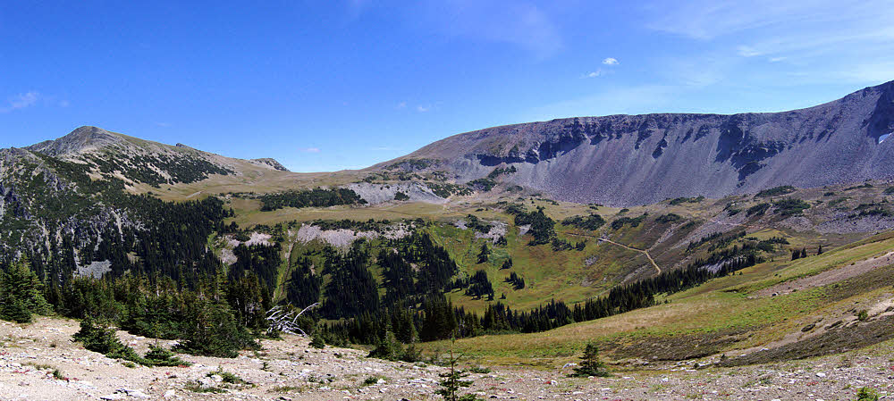
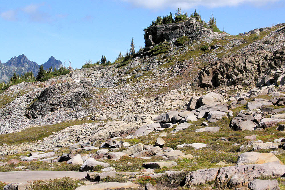
Moving north along Cowlitz Divide toward Indian Bar on the east side.
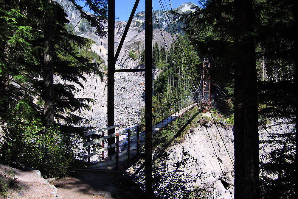
During the winter of 2006-2007 there was a huge amount of rain, almost 18 inches (457 mm) in a sudden 36 hours, according to the park's web site. That had effects. "The flood destroyed most of the park’s low-lying trail bridges. Major sections of trail collapsed or were scoured down to bedrock, and will need to be rerouted or rebuilt," said the park's web site shortly after the event. Entire sections of road also went missing.
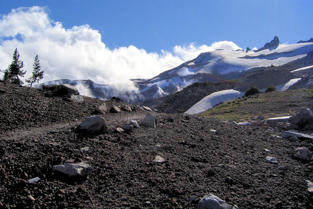
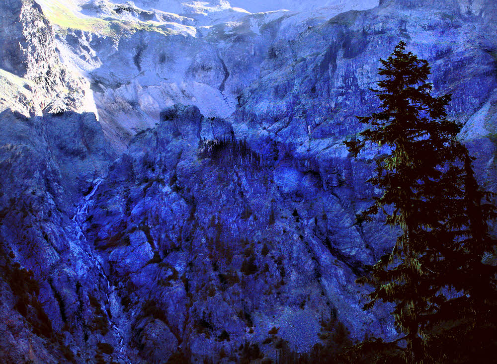
The drop into Indian Bar.
As I recall, the Wonderland Trail was closed during the whole 2007 hiking season. I didn't even think about it aside from hearing a couple new reports.
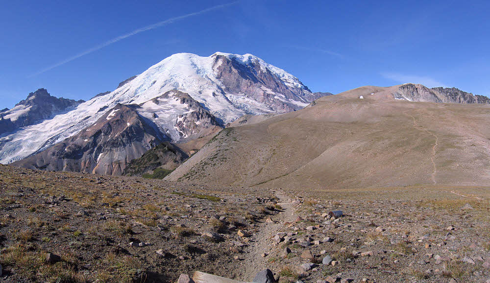
Indian Bar, my favorite place.
Then, sometime in August of 2007, maybe late August, or extremely late August, suddenly the Wonderland Trail had been repaired, mostly, and was open again. Woot! No bugs or competition. Since I lived nearby, all I had to do was to show up. Everyone else had given up for the year and gone into their winter dens by then.
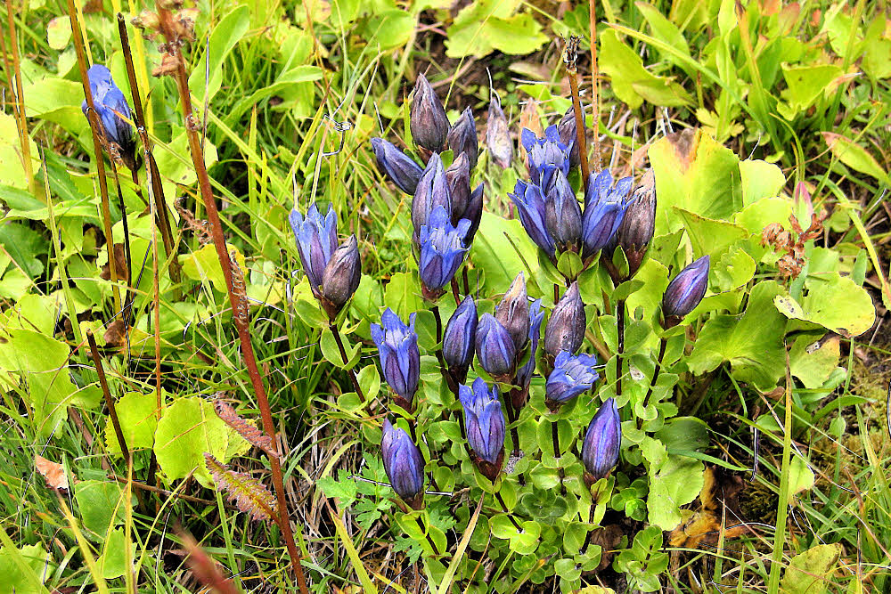
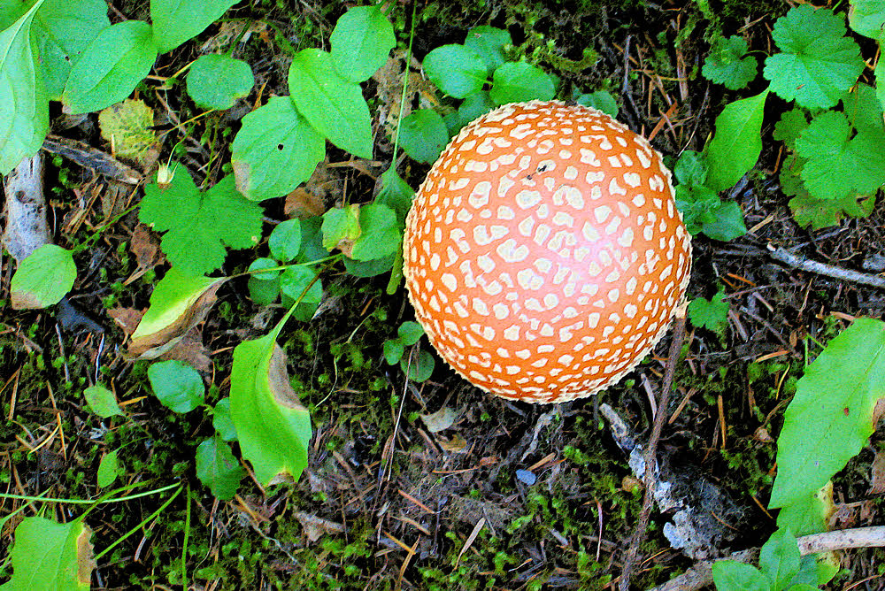
I don't know what these — maybe a sort of gentian.
So, a no-brainer. I hate fighting for permits. I prefer National Forests to National Parks because, if anything, all I need to do is to fill out a free permit at the Forest trailhead and not die out there. You hike and then go home when you're done and no one knows what you're up to or bothers you, and doesn't really care. National Parks are fussy, and many, like Rainier, have quotas.
Looking back to the south across the Indian Bar area while headed north.
Given that, I also deeply prefer going where other people don't. That usually works. You see things when you go to unpopular, ignored, and dismissed places. Some of the most rewarding times of my entire life have come about just by sitting down somewhere and keeping still. You can't do that when you're fighting to see famous roadside attractions, whether those "roads" are either congested highways or congested trails.
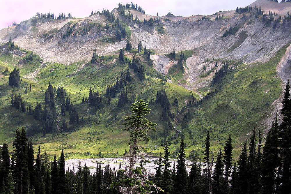
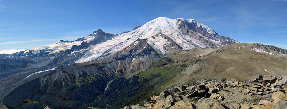
Looking to the west, toward the center of the park the mountain while climbing out of Indian Bar.
Roadside attractions are generally crap anyway. On my first trip to Yellowstone in 1977 I stopped about every half mile, got out of the car and took a look at whatever the signs pointed to while bumping shoulders with everyone else. It made me crazy, but I caught on. On my second morning there I climbed the hill behind the campground and walked along a stream. There was no trail. There were no signs. Nothing pointed at what to see. No people. No buses. No horns. Nothing official. No stress. It was fantastic, a great September day. On the hike back I took off my clothes and splashed around in the creek, then sat on a rock and sun-dried. Perfect.
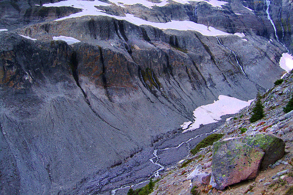
Climbing the pass between Indian Bar and Summerland.
Rainier in early September of 2007 was like that. I had free run of the place. No one gave an official eff because almost no hikers were there that year, especially after Labor Day, which is normally quiet anyway. I did see one ranger at about the halfway point, but she ignored me. Usually rangers ask to see your permit, at a minimum, and maybe ask questions to make sure you're doing what the permit says. This ranger was talking to another person, maybe a day hiker, and I can't remember if she actually even looked at me. Choice. Sweet. Most excellent. Just the way I like it.
Same area, different view, looking up and back the way I came.
I got lucky in another way too. I went counter-clockwise from my starting point at Longmire. During my first night, near the Nickel Creek camp, I got a few sprinkles on my hammock fly, but no more. Somewhere along the route I met a guy who had started at roughly the same time as I had but who went in the other direction. He had been on the windward side of the mountain and got to enjoy a couple days of rain. I was hiking in the rain shadow and got fog and crazy-wonderful clouds without all that rain stuff. Choice, Part Two.

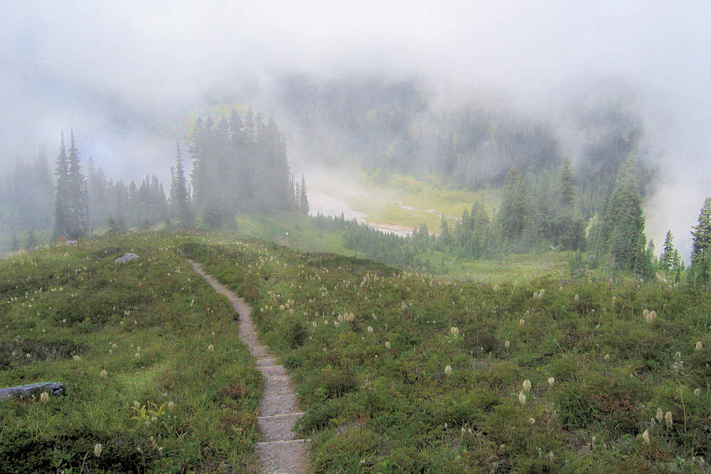
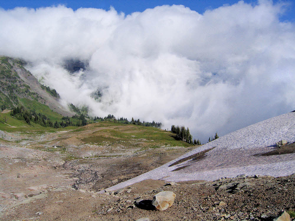
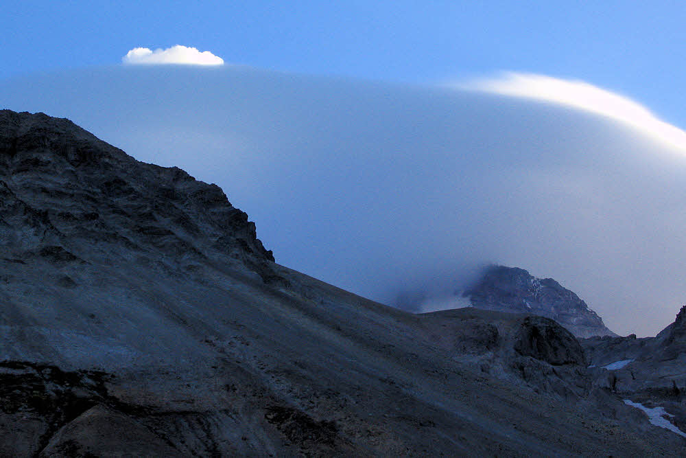
More atmospherics along the way to Summerland.
I got super-lucky in another way too, despite personal stupidity. Adventurous stupidity, something I specialize in. Even after much trail repair, the part of the trail in Sevens Canyon along Stevens Creek was still closed. You pass Reflection Lakes, do some trail hiking and a little road walking, then pick up the real trail and head down Sevens Canyon, but not in 2007. That lower trail was closed — some parts of it had been washed away. It meant several miles of road walking.
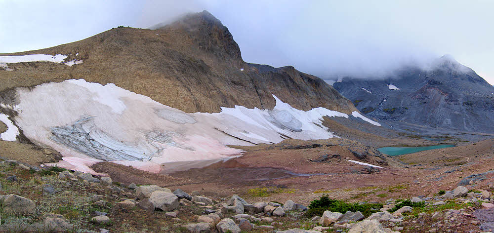
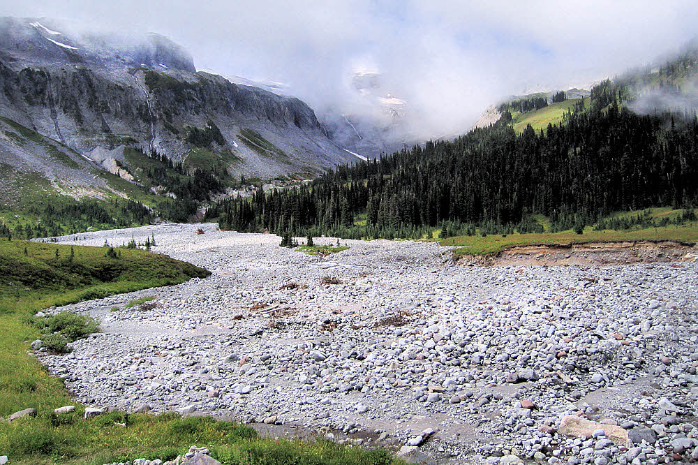
The drop into Summerland.
Well, I flubbed it. I got confused by the signs that said hikers should take to the road, and I instead continued along the trail. I thought that the signs were a sort of "heads-up" to indicate that the detour was coming up "real soon now", but that was the actual real detour, and the trail there looked fine, so... By the time I came to the massive trail washout I didn't feel like backtracking, because I'm dumb, so I used my shoe edges and fingernails to dig into the slope just enough to keep from rolling down the 45-degree slope of hard damp subsoil onto the rocks along the creek, about 100 feet (30m) below. Well, hey. It was maybe 100 feet down the slope, not a full 100-foot vertical drop, and maybe only 50 feet to go horizontally across the washout, at most, and in the world of non-news, I made it, using up some good luck I didn't deserve. The rest was easy.
It seems like this view is much farther along, but I don't recall just where, so hey again. It was nice. That's enough.
Later on, much lower down the canyon, there was some confusion. But no people. Since I was on a closed section of trail, it was bliss in that respect. Super-doubly quiet.
Evening slightly upslope from the Glacier Basin camp.
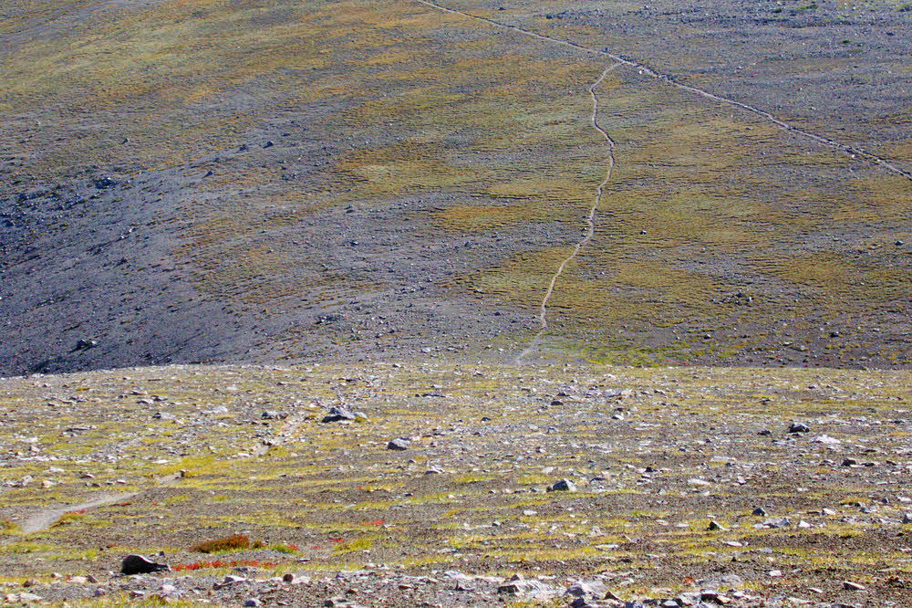
The confusion came in a flat area where Stevens Creek had gotten its hair mussed by the previous winter's flooding. The trail was washed out in spots, or covered by debris, and the creek had re-routed itself several times — hard to tell where the real channel was, let alone the trail along it. I had to hunt for the trail. At least I knew that no matter what, the way to go was downstream. Whenever I lost the trail I found it again after a bit of stumbling around. Not bad.
Near or on or approaching Burroughs Mountain (to the right, I think). Nice place.
So there I was, down in the flats and it was all mixed up yet again, in a tangle of uprooted threes with two or three possible stream channels to choose from and no trail in sight. To get a better gander at things from a few feet up, I stood on the trunk of a fallen tree. About three feet up. Then I lost my balance and fell over backward. This, generally speaking, is not usually a good thing. It's surprising how fast it happens.
From Burroughs Mountain looking back east the way I'd come, in the direction of Sunrise.
I did manage to step backward as I fell off the horizontal tree trunk. I did get both feet off it as I fell, somehow. And then I hit the ground. Feet first, also a good thing, but my body was rotating backward, with my feet as the pivot point. So the next part of me to hit the ground was my tail, then my pack. So far things had been going well, sorta. But the pack rocked me backward when it hit, and my head whipped around just before the back of it slammed into the ground.
I'm not sure if that peak at the left-center is Little Tahoma or not. Could be.
And, in yet one more stroke of luck, that ground was a soft pillow of sand, so I didn't die immediately. After a few startled seconds of lying there on my back, I turned my head to the right and saw a water-smoothed watermelon-sized rock humped out of the sand exactly beside my head. Not more than six inches (150mm) away.
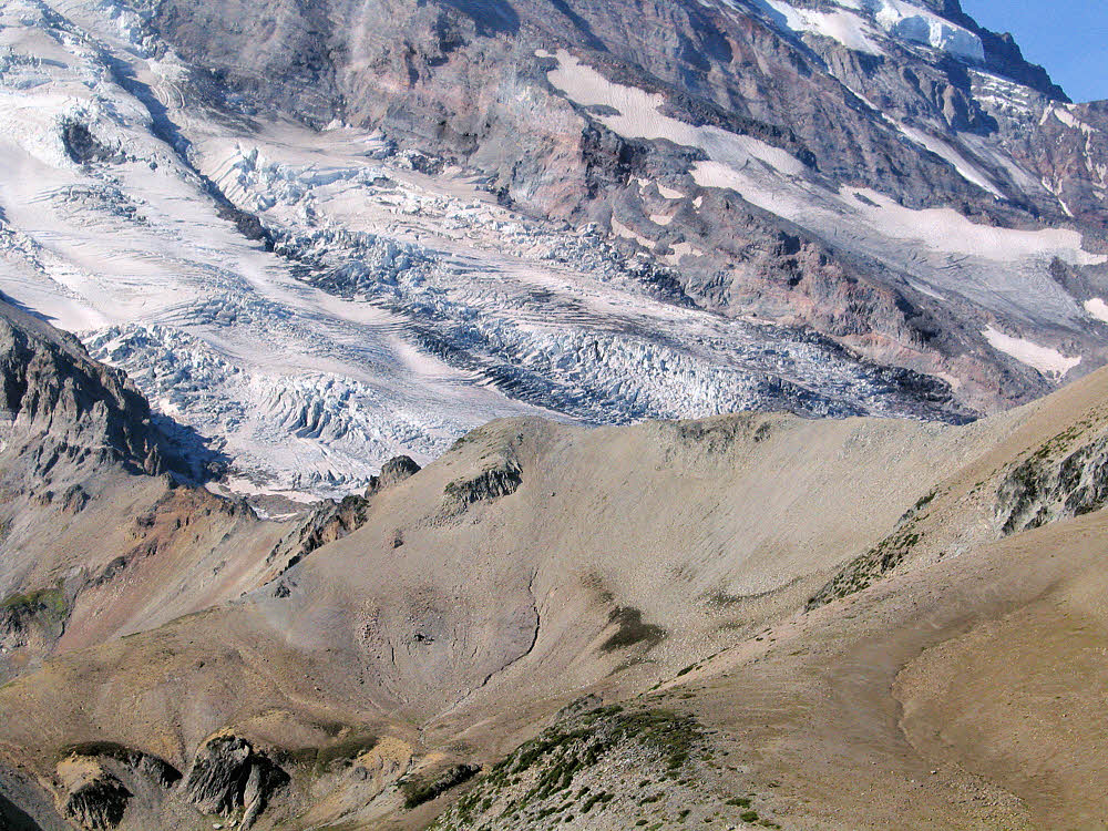
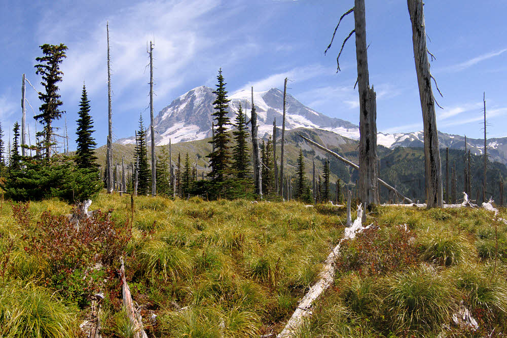
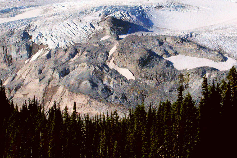
This is probably Winthrop Glacier. It would have been fun to get to that last ridge.
Dying quickly isn't so bad, and I probably would have if I'd come down on stone, but being still alive, I had second-tier concerns — more worried about my retinas than anything else. If it's one thing I am it's nearsighted. You get that way when your eyeballs are elongated, which stretches your retinas like crazy. Any bang on the head at any time and several other causes can inspire these retinas to cut loose like over-stressed rubber bands, and then it's all over, sight-wise. The other possibility, after that, was a concussion, even after bonking on sand. I did have a mild headache for the rest of the day but since I've made it for another 10 years, so far, I'm not worrying about that any more. Call me Stumbling Ed Dufus.
North of Burroughs Mountain, southeast of Berkely Park.
OK then. That was the first day. Aside from two or three sprinkles of rain that night, nothing happened. Lucky, lucky, fine and plucky, me. But mostly lucky, and way dumb in parts.
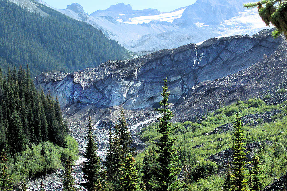
Carbon Glacier, several miles farther west.
Farther along, up the east side of Rainier and north, the trail passes through Granite Creek camp on its way west, then Mystic Camp, and then it parallels Carbon Glacier as it heads north, passing the Dick Creek and Carbon Glacier camps, all nice places. (Check the map link.)
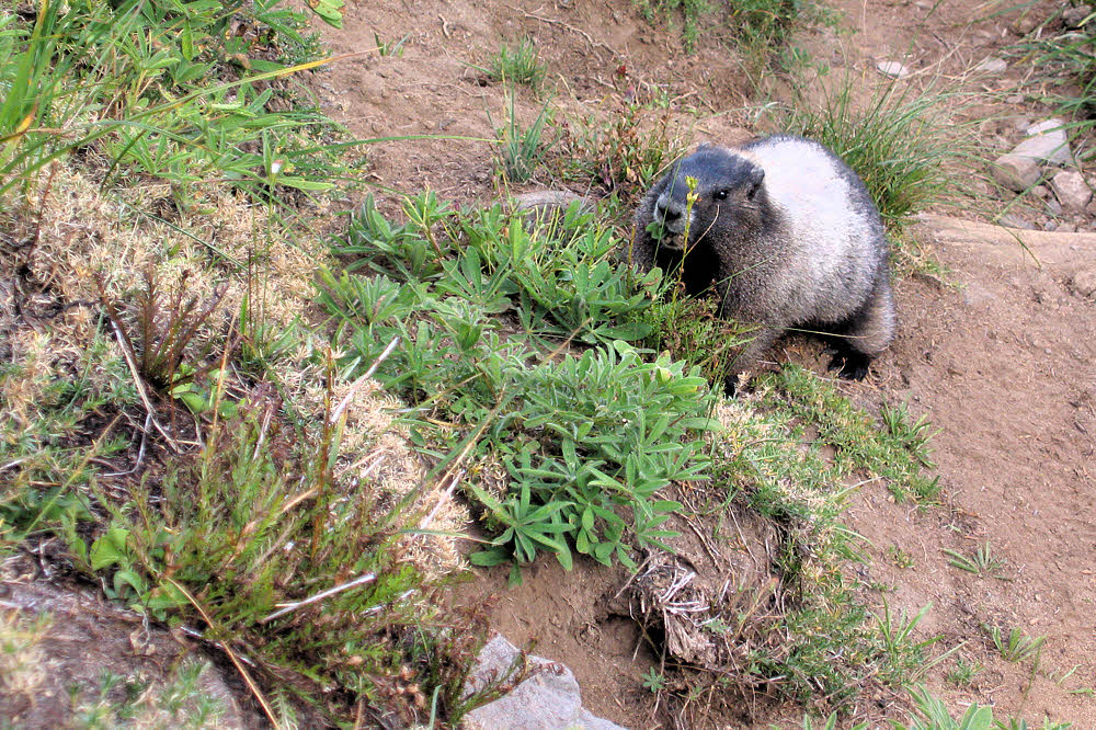
Mommy marmot. She and her little one munched nibbly bits along the trail as I tried to act not-dangerous and sidled by only a few feet away.
I don't remember all the camps I've been registered at in my two trips around Rainier, but I've stayed in only two of them. I guess I'm a minor outlaw, but hammock camping at most national parks is almost impossible. On the first day of my first trip I encountered a ranger while crossing South Mowich River. He was stationed at Golden Lakes where I was registered for that night, and checked my permit, so I had to show up. It took around two hours to figure out how in hell I could possibly hang my hammock there. I managed, but it was tricky. Great view though.
Morning, somewhere between Carbon Glacier and Mowich Lake.
The other camp was Glacier Basin in 2007, which is on a spur off the main Wonderland Trail, and had only one other set of visitors there that night, off on the far side somewhere, and was decent. Most of the camps I've seen are right on the trail. The trail either skirts them or goes right through them. Yeeg.
Spray Park area.
I prefer to either stop a bit short of a camp or go a bit long. That way I can claim that I'm just exploring, or haven't quite made it into camp yet. Either way, I look for a good spot, check to make sure that no one is around, and melt into the landscape. In the morning I quietly drift back onto the trail and continue hiking. It isn't what is supposed to happen but camping that way is a lot nicer and even if anyone saw my campsite after I left, they'd never know that anyone spent time there. National Forests and other "free range" areas make it easier.
Spray Park area.
During my 2007 trip, I stopped my second-to last night in the South Mowich River area. There are some braided streams there, and I was able to slide off the trail and have a wooded sandbar all to myself. By that time I hadn't seen another person for almost two days, but discovered the next morning that I'd been visible from the trail. Still, I had no problems and don't think anyone had come within miles of me. Pure luxury. Usually this kind of space and privacy are only available in totally unfashionable places.
Somewhere near Klapatche Park I think — on the east side anyway.
I suppose this trip was unique. Unless there is another bad winter bringing severe damage I'll probably never see such a wide open chance to explore Rainier. In late September, 2016 I was looking for one last hike of the season, but a storm was blowing in, so I didn't try.
I'd like to give this a name but it could take weeks of research, so let's just call it Fred.
I did check the various Park web cams, but even a few days ahead of the real storm, there was blowing snow at the Wonderland Trail's elevation. Obviously out of the question, even for someone as prone to doing stupid things as I am. So I folded. Why push it past the limit?
I guess this is on Tahoma Creek between Devil's Dream and South Puyallup River camps.
It's the same idea as avoiding world-famous places and the crowds that go with them. So I checked my notes and decided to try the Three Sisters Wilderness in Oregon. That worked. Nice area, but again, it was late in the season and because of that, the hiker population had been severely trimmed back. Even so, several areas were crowded. This would be hell in summer. Signs everywhere. Restrictions to the left of us, restrictions to the right of us. Speed limits, no-parking zones. Traffic lights. Almost.
There is a story here. Betcha.
I did have a nice four or five day window of great weather out there in central Oregon, visiting a place I'd never been at all close to before. The bad weather eventually did blow in but only on my last day. Not bad. Unlike what can happen on Rainier. Rainier is completely exposed to whatever the Pacific Ocean pitches at it, and conditions are always iffy. Central Oregon is much farther inland, better buffered from western weather, so that was a good choice at that time. Still, I really would like to get back to Rainier again. Maybe 2018. Maybe. I'll think about it, I will.
More info from MORA.
The Wonderland Trail (info)
The Wonderland Trail Profile Map
Wilderness Trip Planner & Map (includes trail mileages)
November 2006 flood ("old page")