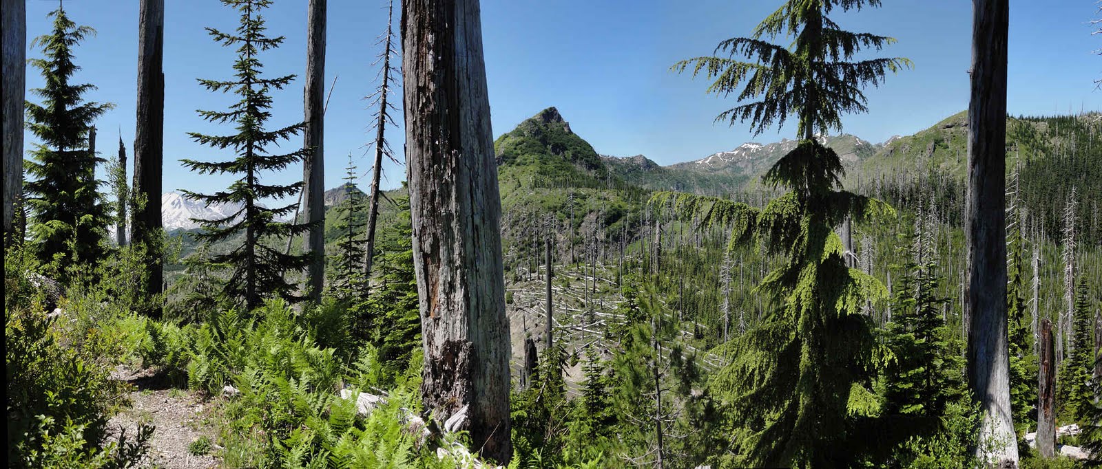
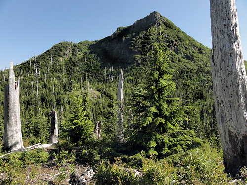
Bismark Mountain looking west toward Norway Pass.
(Click to embiggen.)
So there I was, set for a five day training hike across the Boundary Trail, which once demarcated the Columbia and Rainier National Forests, now all part of the Gifford Pinchot National Forest.
Everything went OK. It was hot, but I had water. I sweated a lot. After a late lunch I still had six or eight miles to go (10 - 13 km). It would be tight but I pushed on.
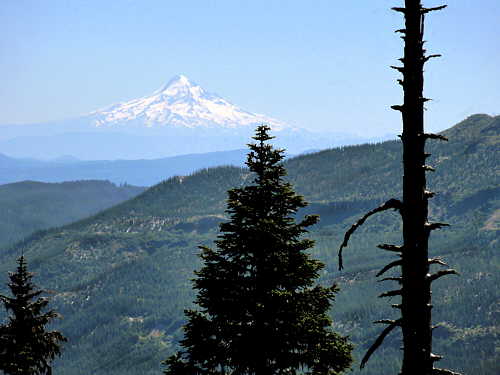
Mt Hood, far to the south in Oregon.
Toward dusk, at around 5000 feet (1524 m) I hit snow. Then more snow. The trail disappeared. Then bits of it reappeared, every now and then. The snow was three to six feet (1 - 2m) deep. I got sidetracked, missed the lake-blessed basin I was aiming for, and climbed an extra couple hundred feet before giving up, only to see where I'd gone wrong.
St Helens in the sun.
Anyway, that basin was all white, all snow and ice. No chance to stop, have a bath, and pitch a cozy camp, so I raced back downslope for half an hour, put up my hammock, ate, and went to bed with around half an inch of dried sweat between my skin and my stiff, sticky clothes. I had to, because it was dark by then, and there were clouds of mosquitoes everywhere, unlike at the lower elevations.
So the next morning I headed back.
St Helens from above Road 25 near Bear Meadow.
(Click to embiggen.)
Road 25 from above, east of Bear Meadow.
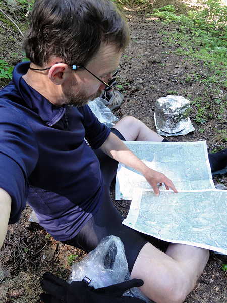
At lunch on day two, sitting in the middle of the trail, I finally evaluated my decision by checking out the maps. Sounds dumb but that's the way it is sometimes.
Anyway, it was the right decision.
A sort-of typical stretch of trail, in one of the level spots.
Sorting it all out while lunch cooks.
I may never get back there, but I saw part of it last fall: Craggy Peak, Snagtooth Arch, Jumbo Peak, Sunrise Peak, Juniper Peak, and Shark Rock. And having done that knew enough about the area not to regret the decision. Regret being defeated, yes, but not the decision. It was the right one.
Ditto, stove in background.
My route would have taken me along steep shaded slopes where the snow would have been solid and impassible, so turning around was the right choice.
But I got a few photos. Not of the mosquitoes, or of the trail, badly torn up by motorcycles (I figured I had four more days to do all this), or of the snowy cirque at Badger Meadow where the pond was still frozen solid. But a few others.
For what it's worth.
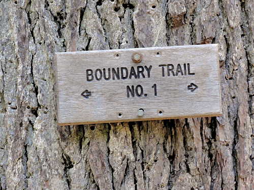
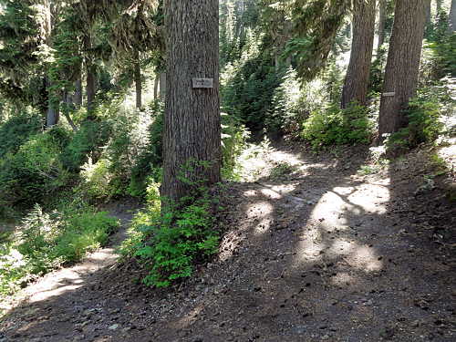
Junction of Boundary and Strawberry Mountain Trails.
Rest spot along the trail on the way back, above Ghost Lake.
(Click to embiggen.)
At the same rest spot.
Ditto, snagglety tree.
Above Road 25, looking southwest toward Windy Ridge.
(Click to embiggen.)
Unwashed lunatic hermit found at my rest spot.
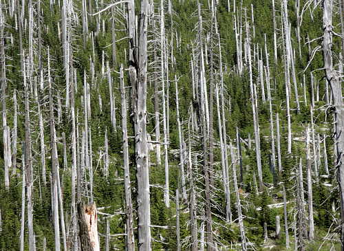
Dead trees from 30 years ago in Ghost Lake basin.
Another view of Bismark Mountain on the way out.
More:
Boundary Trail, Forest Service info
Dark Thirst, an earlier post
