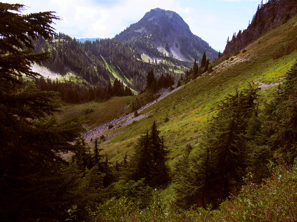
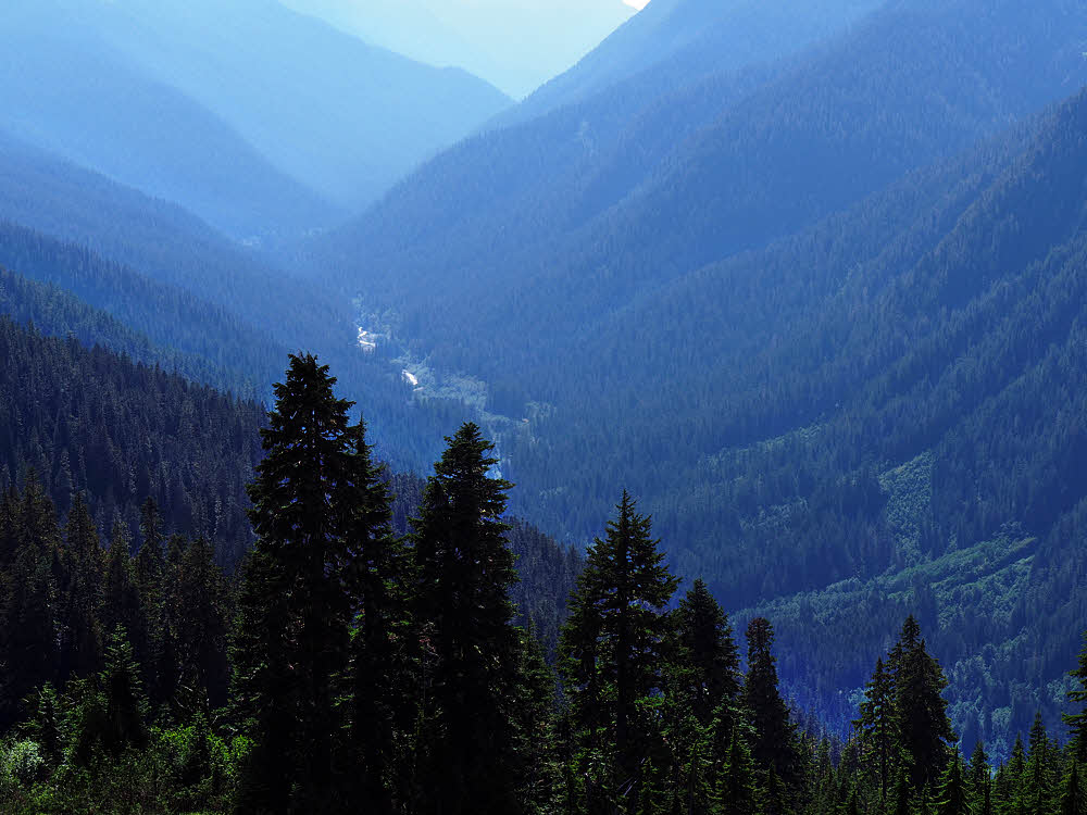
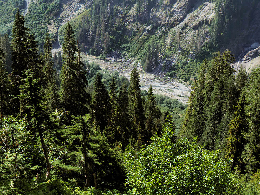
Tributary of the upper Duckabush River.
So Day 4 wasn't so bad — I finally got some good weather while climbing out of the Duckabush Valley.
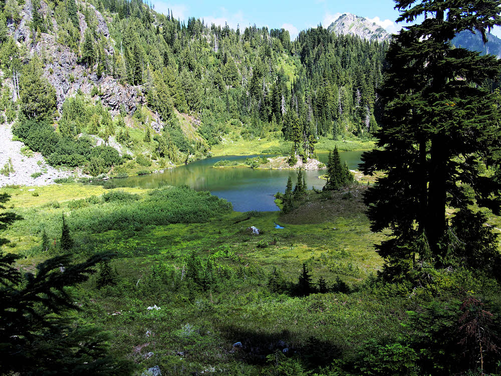
Marmot Lake, below and east of O'Neil Pass.
Once at the "top", there's a flat with a nice lake. Another lake is higher up, but not on this route.
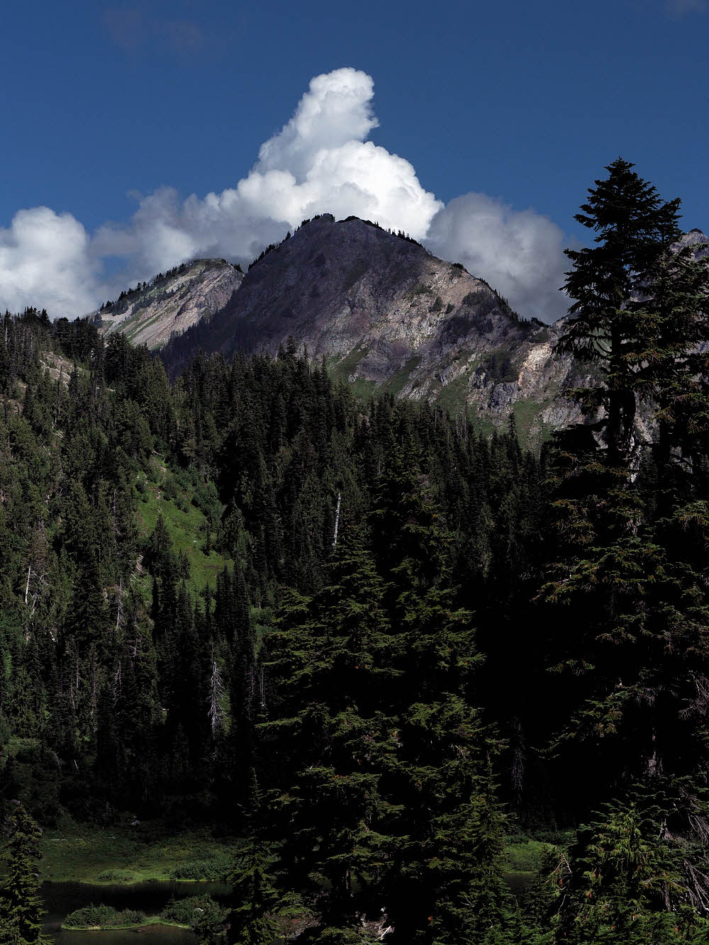
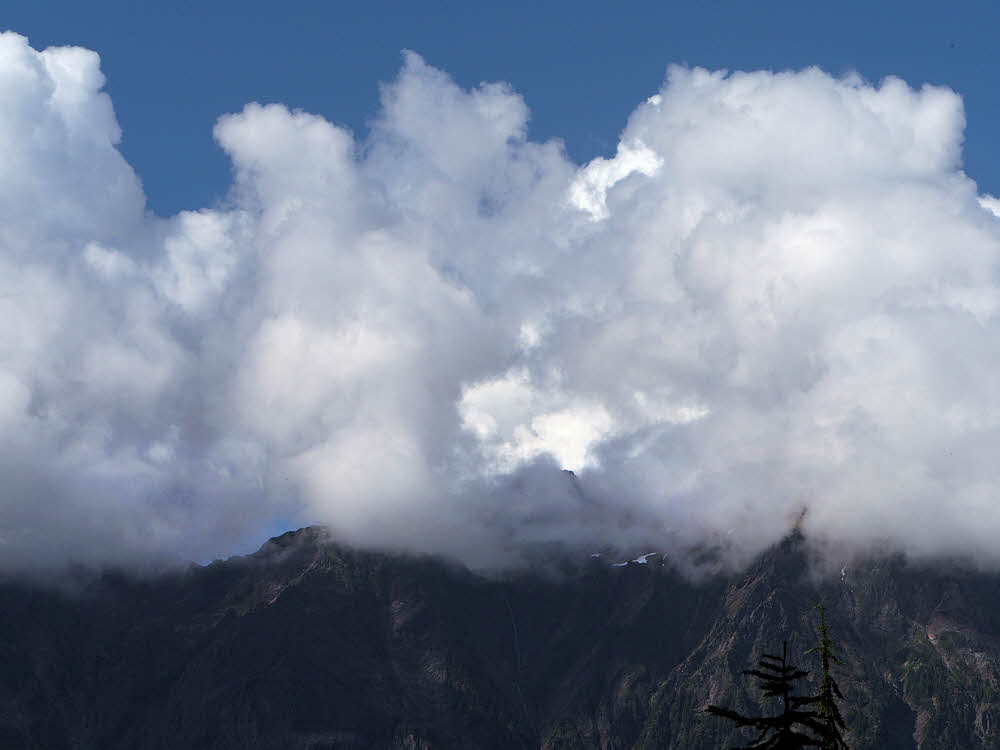
A few never-say-die clouds.
I started to get a little skittish again about weather. There was enough moisture in the ground to inspire a rip-roaring thunderstorm, as evidenced by the hard-edged clouds all over.
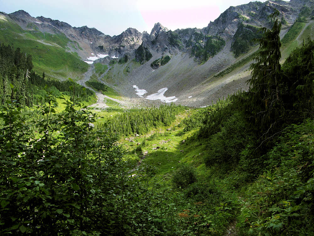
Looking up-valley toward O'Neil Pass.
But the views up-valley were enticing, and the weather was warm without being hot.
The last few feet of trail before the pass.
The trudge to O'Neil Pass was about the usual, though the snow was long gone. Usually I've had snow. Nice to do without it.
At the pass looking back east.
And the view back down-valley was nice too. After two days of rain and a third day inhabited by dripping shrubs, it was nice to be out in the sun with everything green.
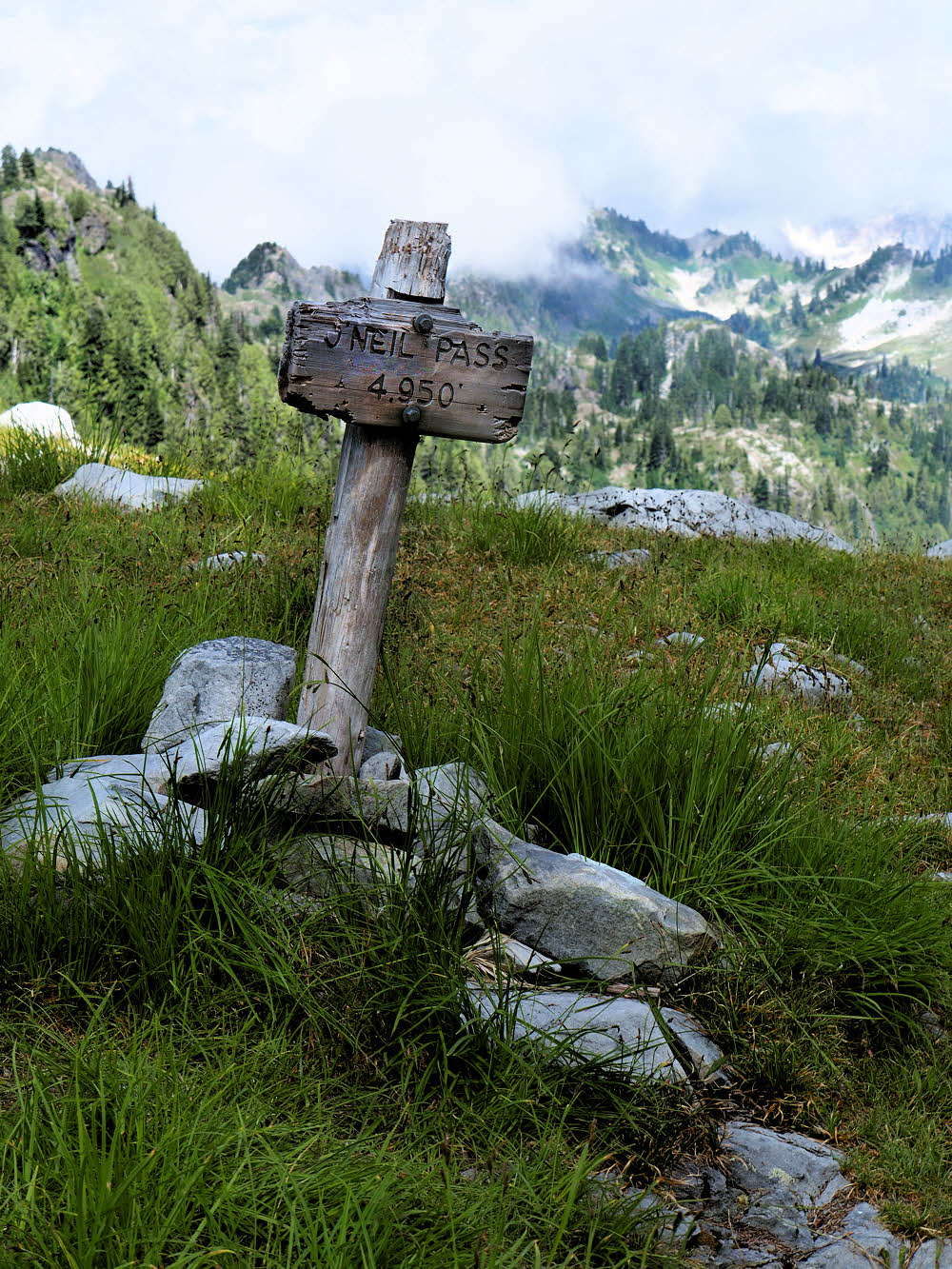
High point.
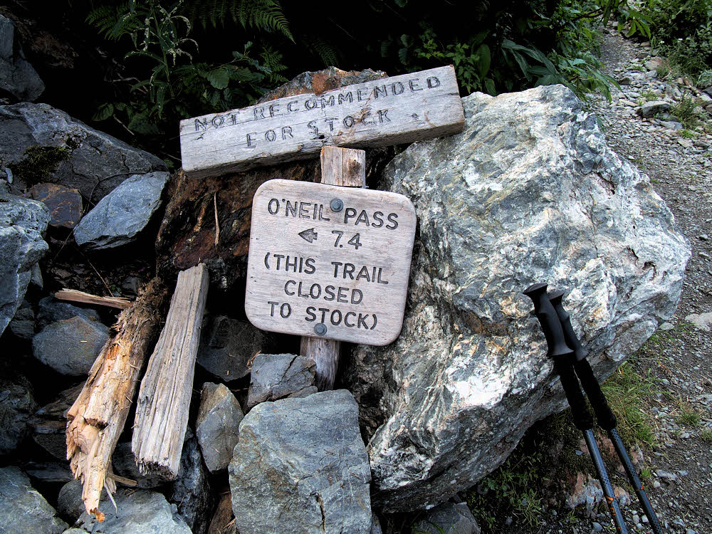
Even the clumsy old signpost seemed happy about things.
Just over the top, looking west-ish.
And looking ahead, well it seemed promising. And green there too.
Appealing country for some off-trail exploration.
This is one area I've often wondered about dropping into for an off-trail excursion, though this whole area is heavily patrolled by bears.
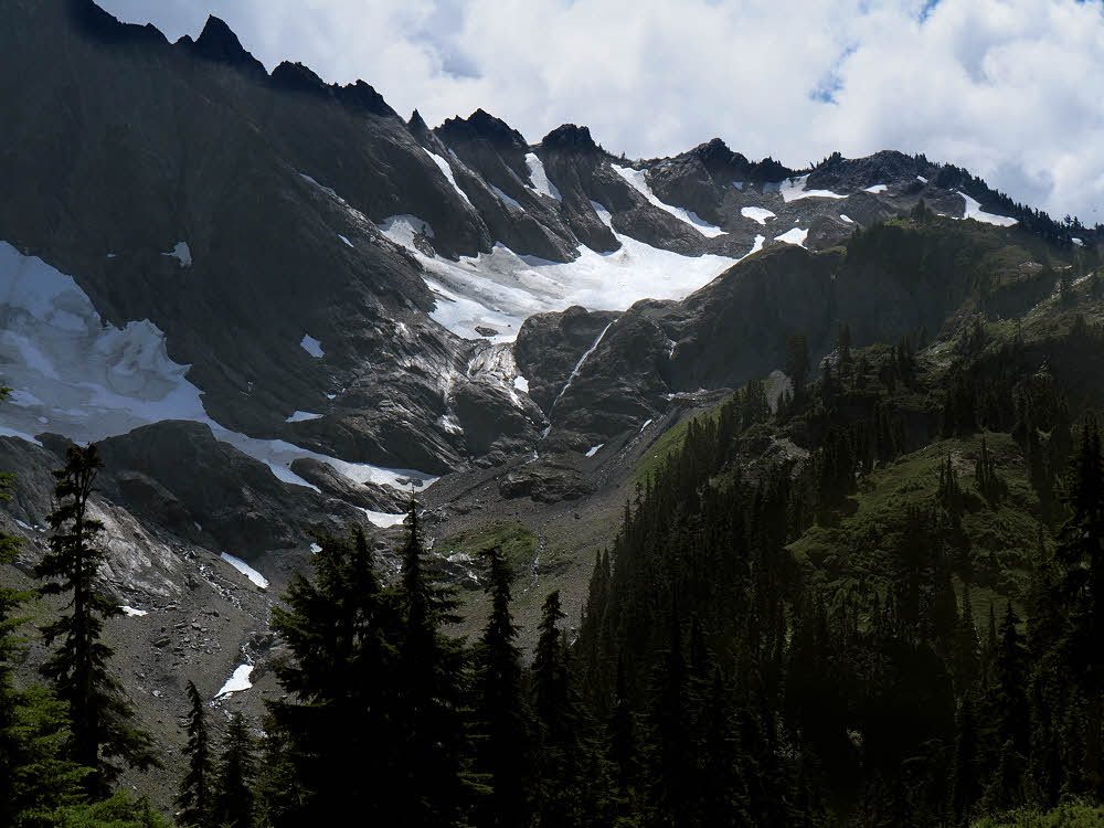
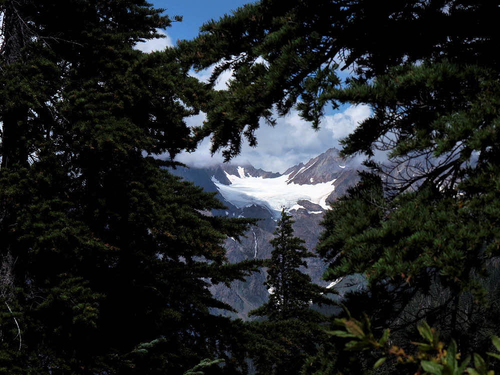
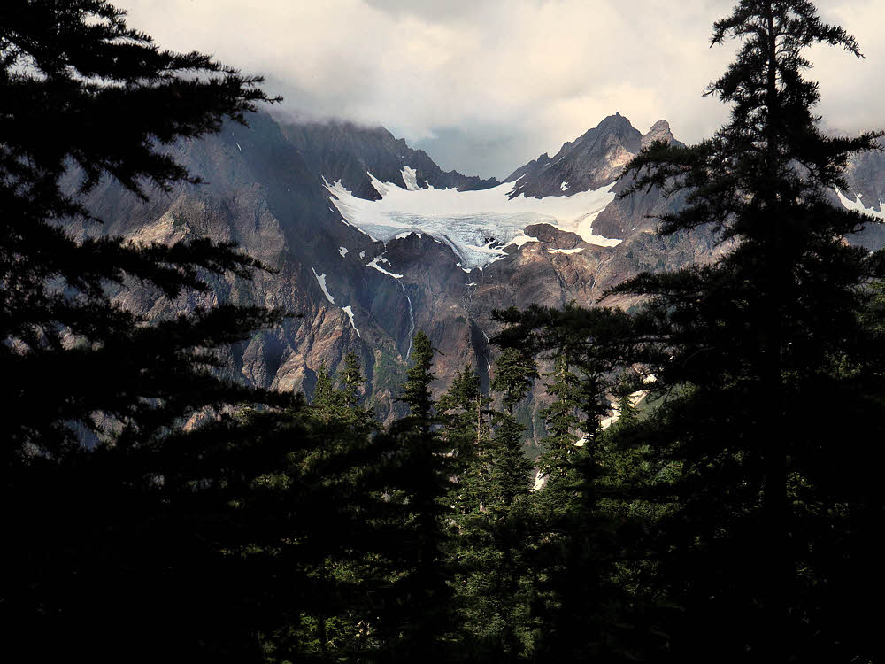
Anderson Glacier from much lower down.
You'd need to keep a sharp lookout for them, but likewise for scenery. It's easy to get glimpses of Anderson Glacier, but you have to be ready for them.
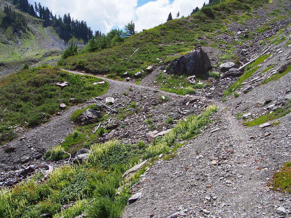
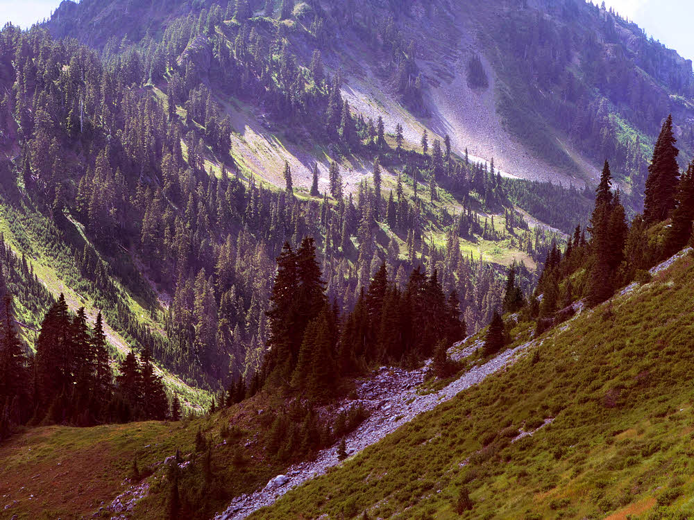
Typical section of trail on the way down.
And this trail seemed much longer than I'd remembered, maybe because it needs a good tuneup. Most of the tread was creeping toward senescence.
More clouds — couldn't get away from them.
Then there were more and more clouds popping up around the edges, making me wonder if I'd escaped the long rains to be hit with some short, sharp showers.
Big booger trailside spider.
And another thing to keep alert for is critters — they're not all bears, and some of them are much uglier.
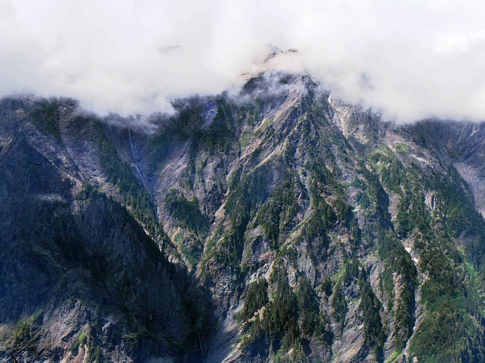
Opposite wall of Quinalult Valley.
Finally I got to a place where there were good views of the Quinaulat Valley, East Fork. The north wall of this valley is miles and miles of nearly-vertical rock.
And on top — more clouds.
With, this day, clouds on top.
Isolated hanging snowfield.
And here and there, improbably for a south-facing wall, large old snow fields.
East Fork, Quinault River and its valley.
But the valley floor looked inviting. Actually, it was hot down there — really hot, which I regretted in turn.
Anderson Glacier again, hanging invitingly.
Peek!
Upper reaches of the Quinault.
This view of the valley floor shows some of the debris from an avalanche of a few years back, still working its way downstream.
Even more clouds, and Anderson Glacier.
The clouds never ceased to bug me. They hung around the peaks on every side and seemed to be waiting for the right late-afternoon moment to dump a huge thunderstorm on me.
Nearing the bottom of the trail.
Finally — the last leg of the descent, and the possibility of a bath. In the afternoon it was nice enough there, though overnight this valley is scoured by a near-freezing downslope flow, even in the heart of summer.
At the junction with the Anderson Pass Trail.
I bathed, then continued down, looking for a campsite along the river, and passed this junction on the way. The signs have seen better days, but at least they were still around.
OK then. Next up, Enchanted Valley.
And someone added a pencilled version. This may date from about the time of the avalanch. The original signs may have been hidden by debris for a while — don't know, but it's better to have too many signs than too few.
Previously...

