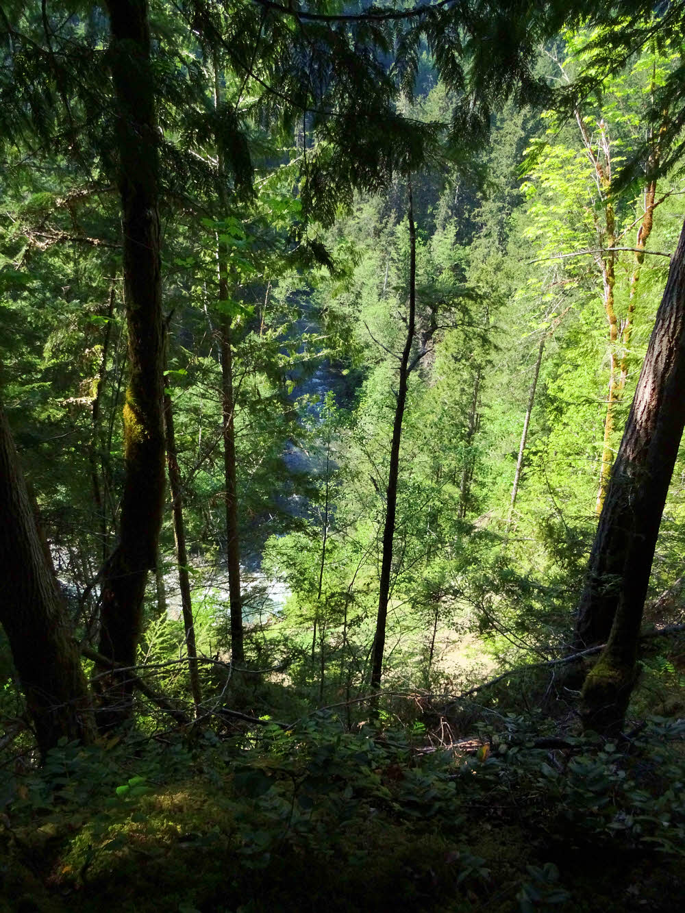
First view of water.
I wanted to check out the condition of the Gray Wolf Trail (Forest Service Trail 834) in the Buckhorn Wilderness.
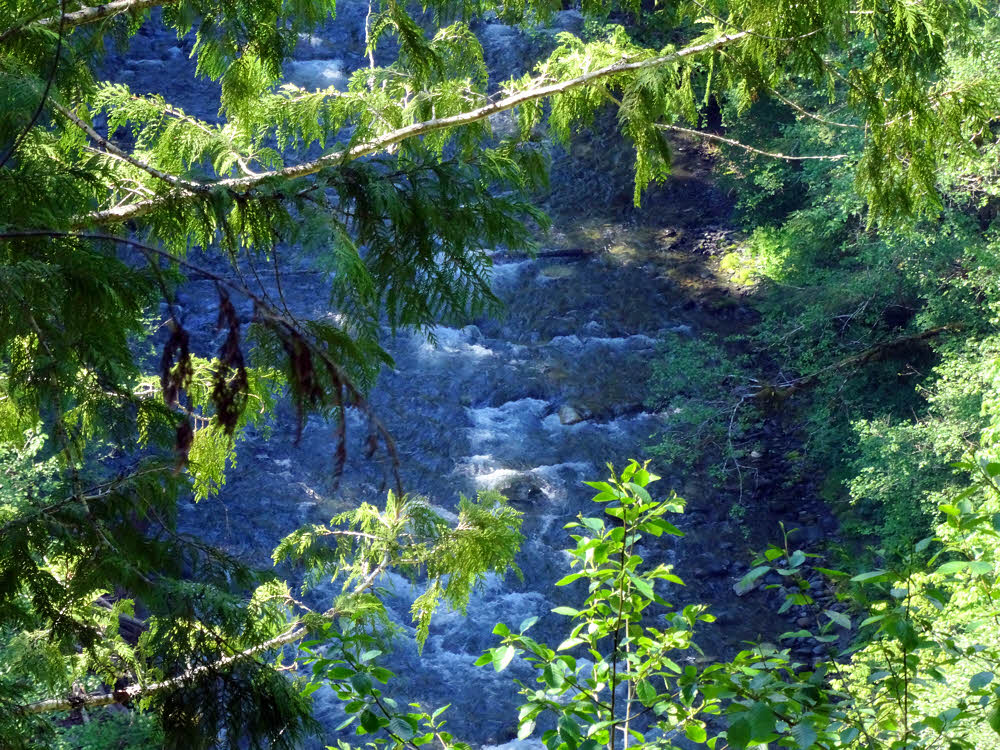
Looking over the edge — almost straight down.
I had been through this area in 2003, and things have changed since then.
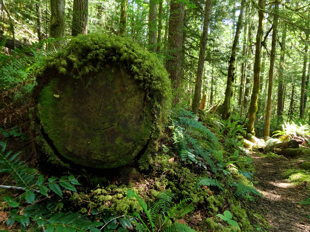
Typical mossylog.
Specifically, one bridge.
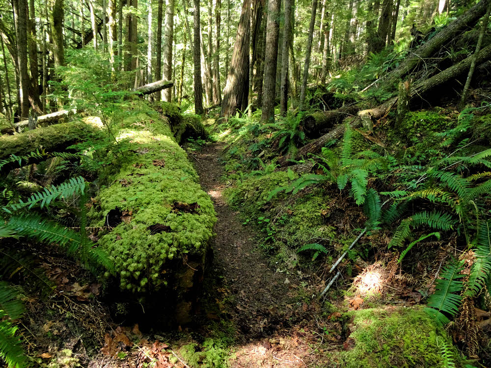
Its other half.
Last time I went through, there was a log bridge. Leaning, Its far end almost dislodged. And since then, it has all washed away.
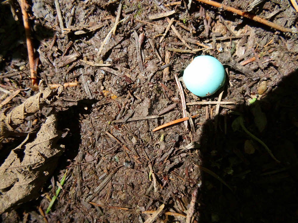
Half of a robin's egg shell.
So, hey. I want to hike through there again, but not before seeing if it's possible.
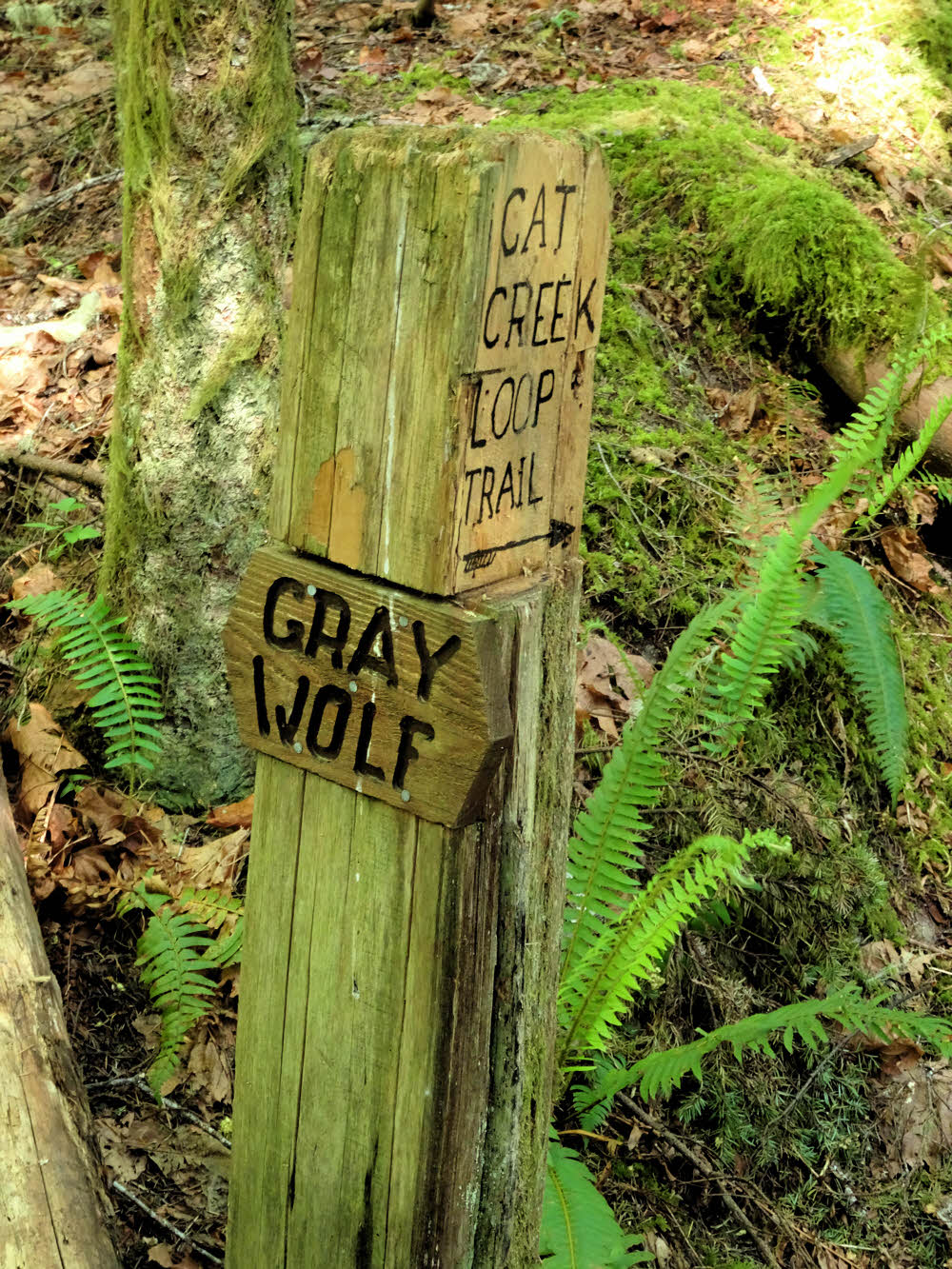
A rare type of sign.
The bridge, such as it was, was located in a small but narrow and rocky canyon. The first time through it scared the snot out of me. The water was deep and foaming. Well, foaming around the edges. But foaming.
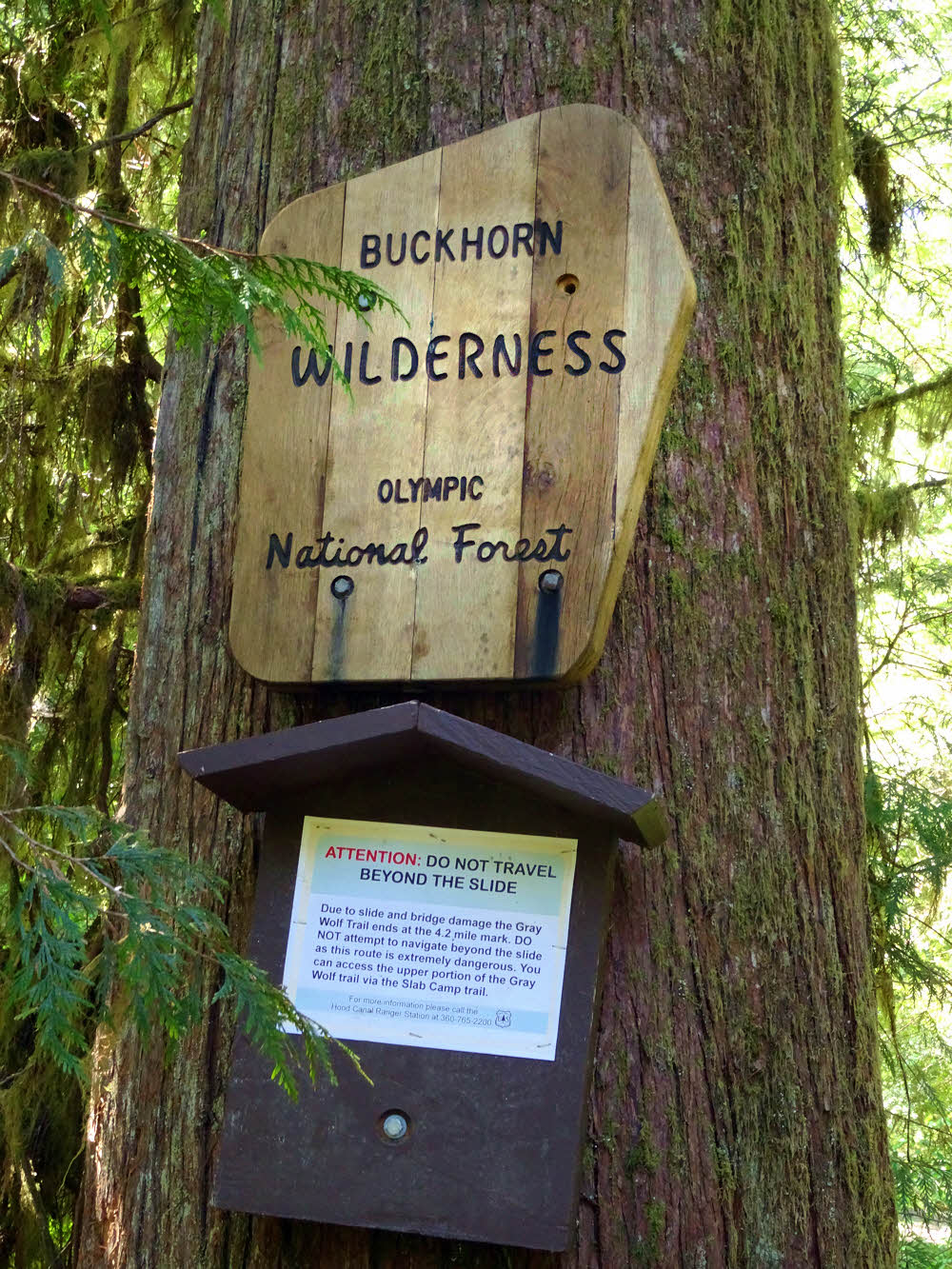
Entering the Buckhorn Wilderness, and...
And that is not a good sign for someone afoot, wearing a pack, and wanting to get through. Especially if that's me.
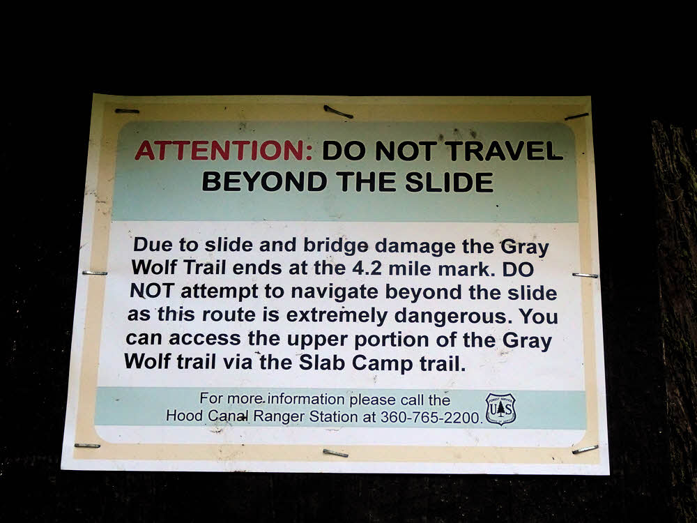
There's more info. More but not encouraging.
But maybe. Maybe there is a way around it. Yes? Maybe.
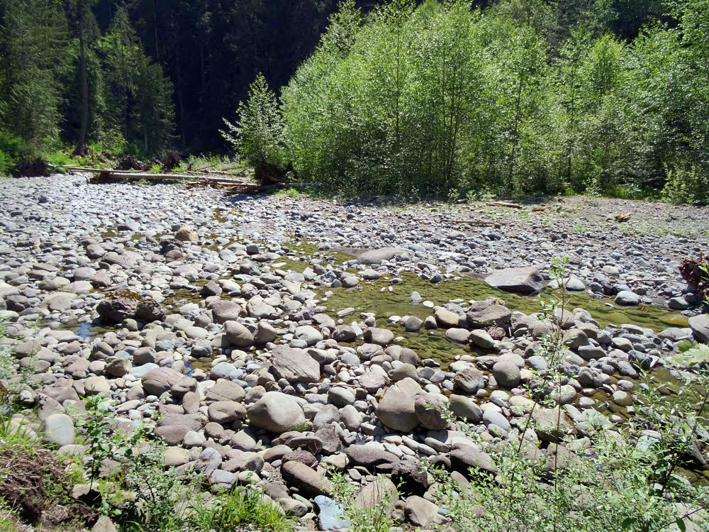
The Gray Wolf River face-to-face.
So I went to go see, and took the wrong turn. Slightly wrong. I ended up at the east end of this section of trail rather than in the middle — downstream of the former bridge instead of upstream.
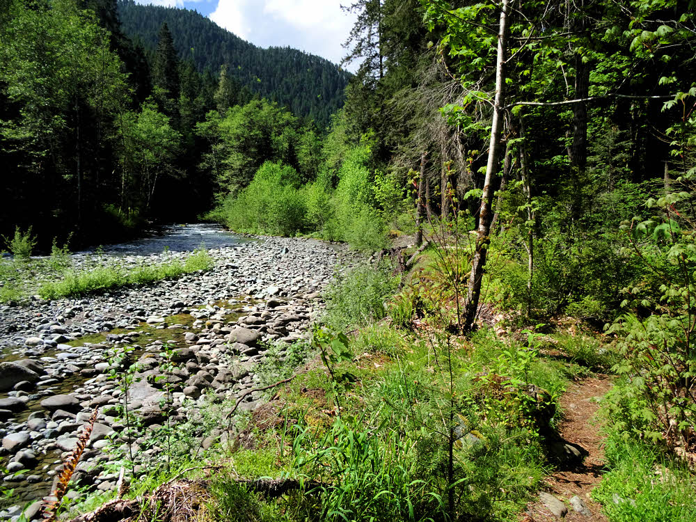
Looking upstream.
Which is almost as good — it's a bit of a hike in either direction, and the day was nice for hiking in.
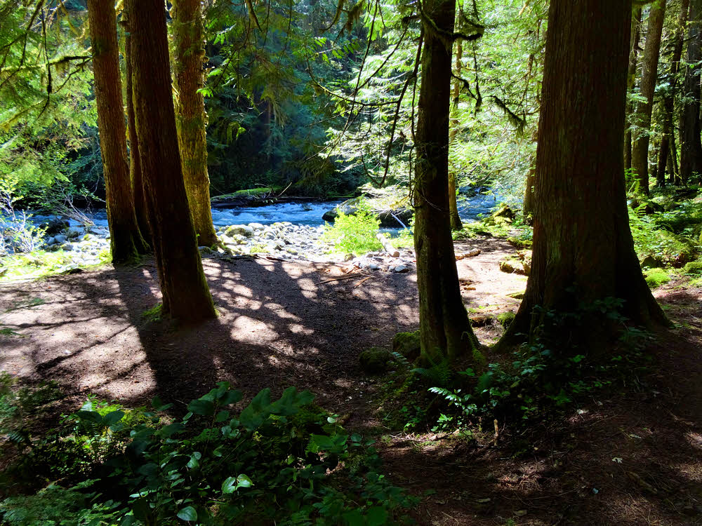
One of the camping spots along the trail.
The trail goes along the river. It climbs. Then it descends. Then it goes up and down. And so on.
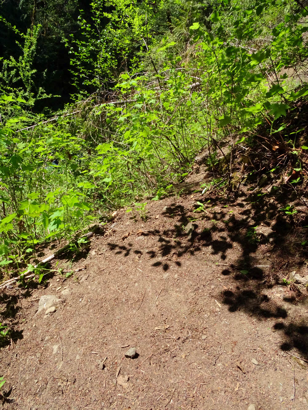
Ah, well then. Here's the end of it.
And after a bit more, there is no trail no more.

Greens.
There is a track climbing steeply up from there, but following it doesn't help — it's one of those walkarounds that gets crazier with every step. No hope of getting through this old, overgrown slide area, and going around it also looks suicidal.
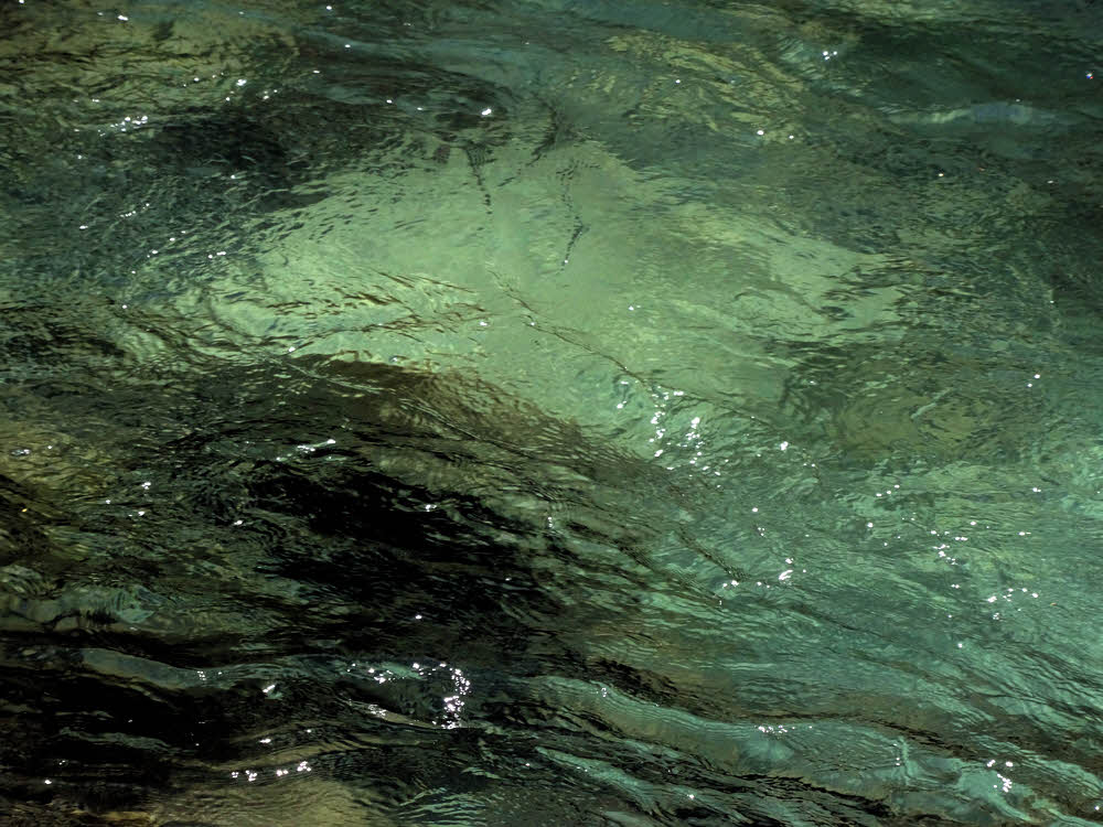
The river. Seriously deep in spots.
The day after this exploration, I went in search of other maps. (My two maps disagree on details). I wanted another opinion. In case.
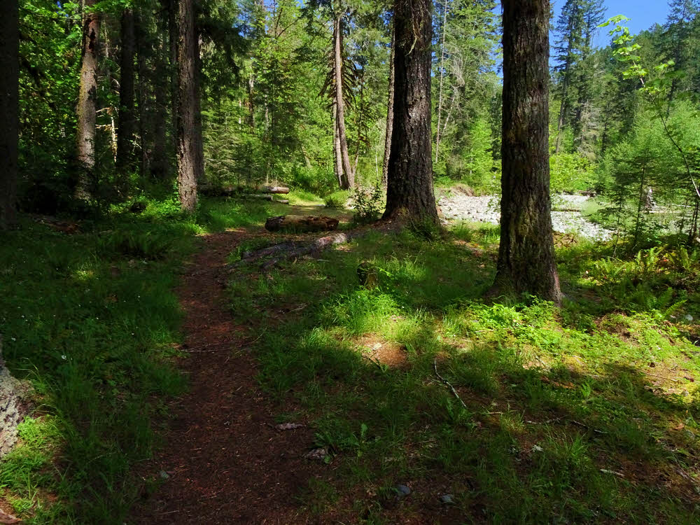
Another camp.
And I got it. But this third opinion was less encouraging.
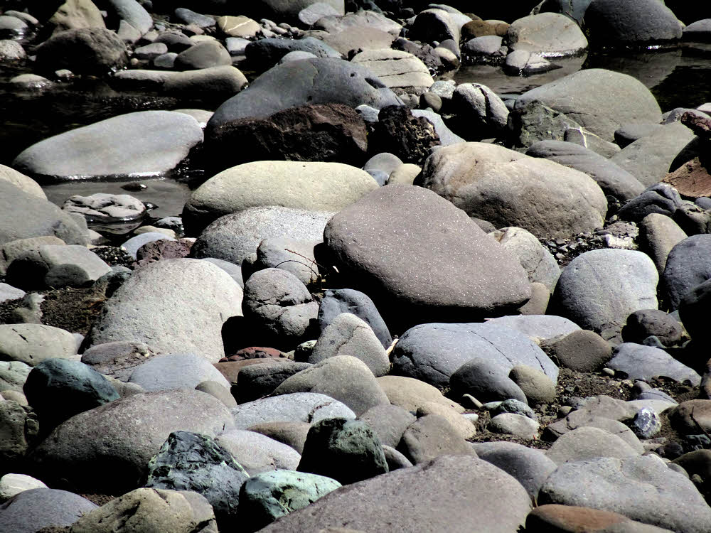
River cobbles.
I found a slide, old and overgrown, but the new map shows a slide upstream of the former bridge, and I didn't even get to the bridge. My slide was downstream.
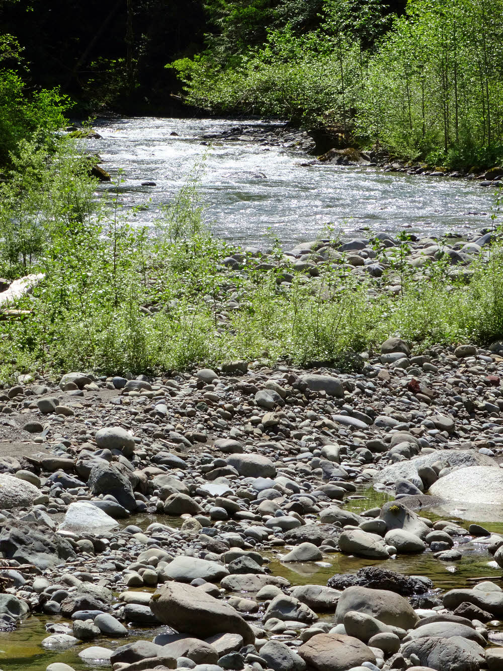
Looking downstream.
So I found one slide, where the "trail" goes straight up through brush, and toward a hidden cliff.
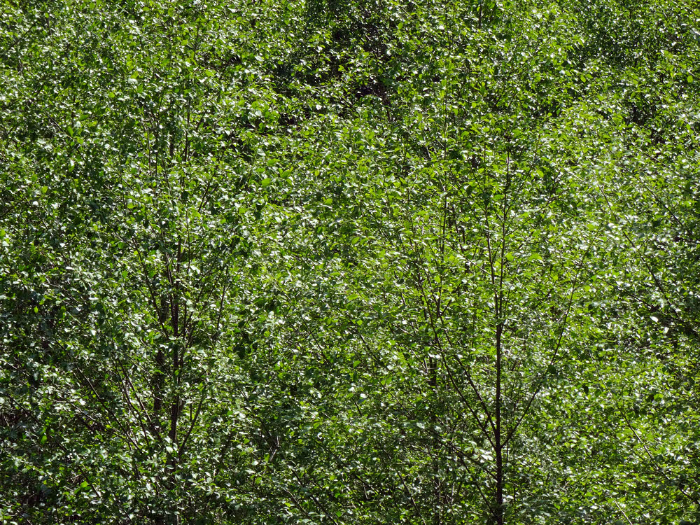
Alders in the sun, across the river.
But there was another slide, big enough to be marked, way up ahead somewhere.
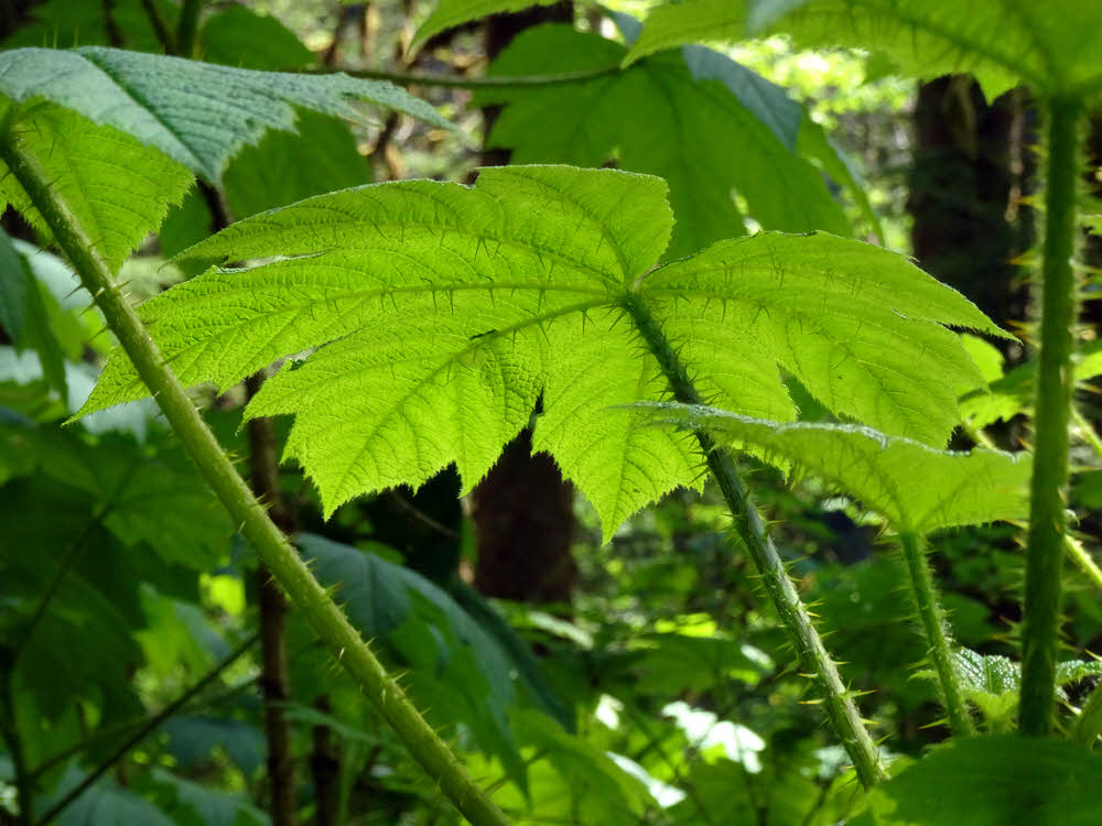
Devils club.
And a missing bridge in a narrow slot of a canyon, where there was only uncrossable foamy water.
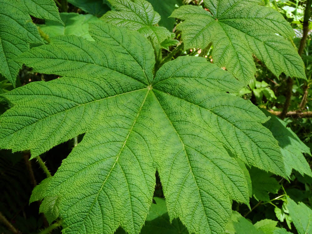
The same, looking more approachable from the top side.
Unfortunately, this short segment of trail links two larger trail systems.

Typical trail.
And although those two trail systems are also linked by road, it looks like road walking might take a whole extra day, considerably longer than a couple of hours on the now-impassable trail. If it was passable, that is.
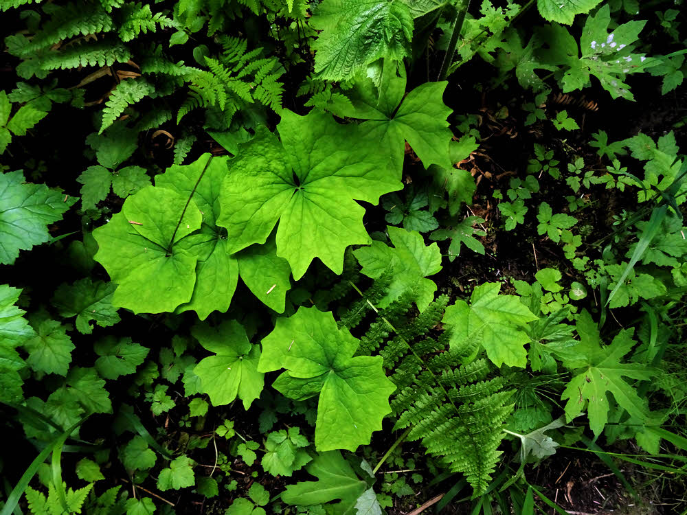
More leafy undergrowth.
Plan B, hiking the eastern trail system in the Buckhorn Wilderness, would be an "in-and-back-out" route, instead of being a fun part of a 200-mile loop.
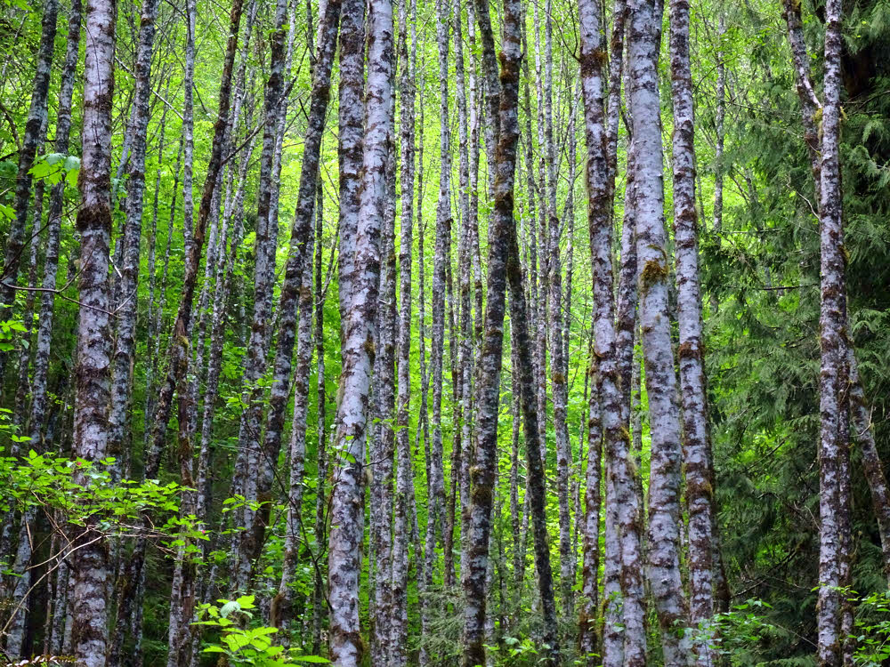
Alders on the hillside.
I may make another trip and check the route from the west, but maybe if I'm thinking seriously about it, I might just check out how long the road walk would be instead. I think the trail is a total loss for now.
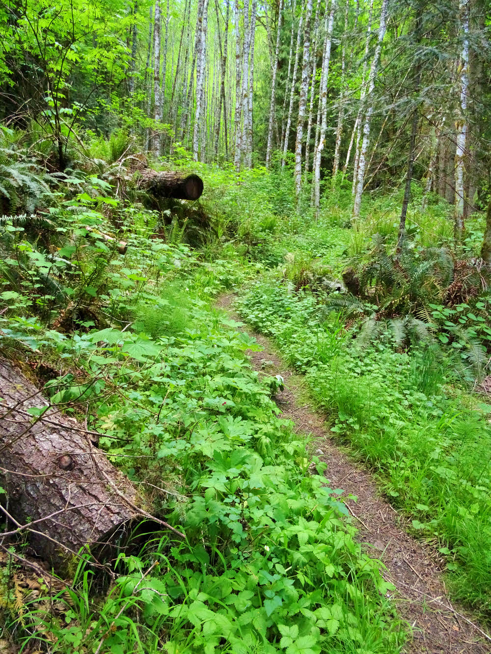
The same alders, as seen from farther back.
No matter what, I'm not hopeful. Road walking is never fun.
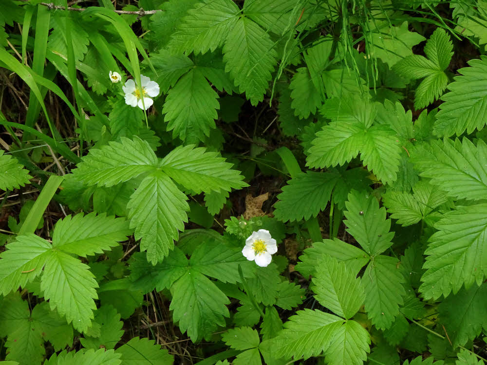
Little strawberry plants.
Any long route in the Olympics involves miles of road walking. I'd set things up differently if I could.
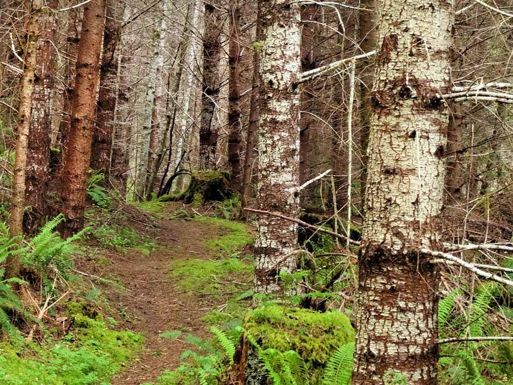
Back near the trail's eastern terminus.
There are huge parts of Olympic National Park without any trails, huge parts separating the areas that do have trails.
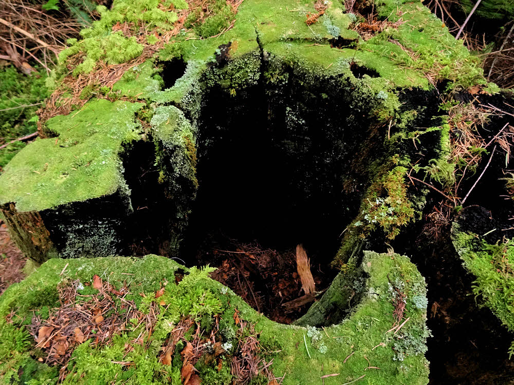
Burned and rotting stump.
Without too much work it would be possible to build relatively short trail segments linking up with currently-existing trails and spreading hikers over thousands more acres while enhancing the experience and turning the park into one whole rather than a collection of disjointed regions, which it is now.
Here is a link to the area I'm talking about. In the upper right of this map, between Deer Park and Dungeness Forks connecting roads 2875 and 2870.