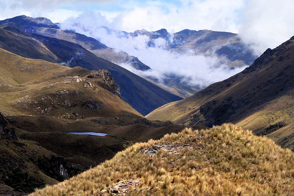
For a little while last summer I had some hiking buddies. We went to a few places like this. It and similar areas are in or near Cajas National Park west of Cuenca, Ecuador.
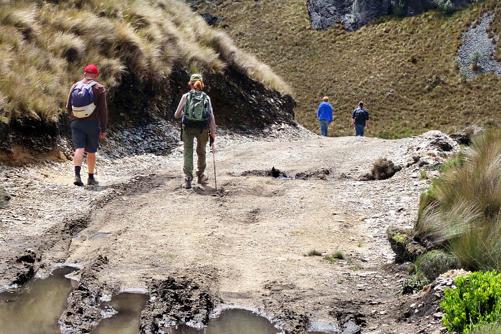
This was our big day, and last real hike, when two other friends of Mark showed up to accompany Barbara and me. Mark's little Chevrolet Sail was full to the gunwales.
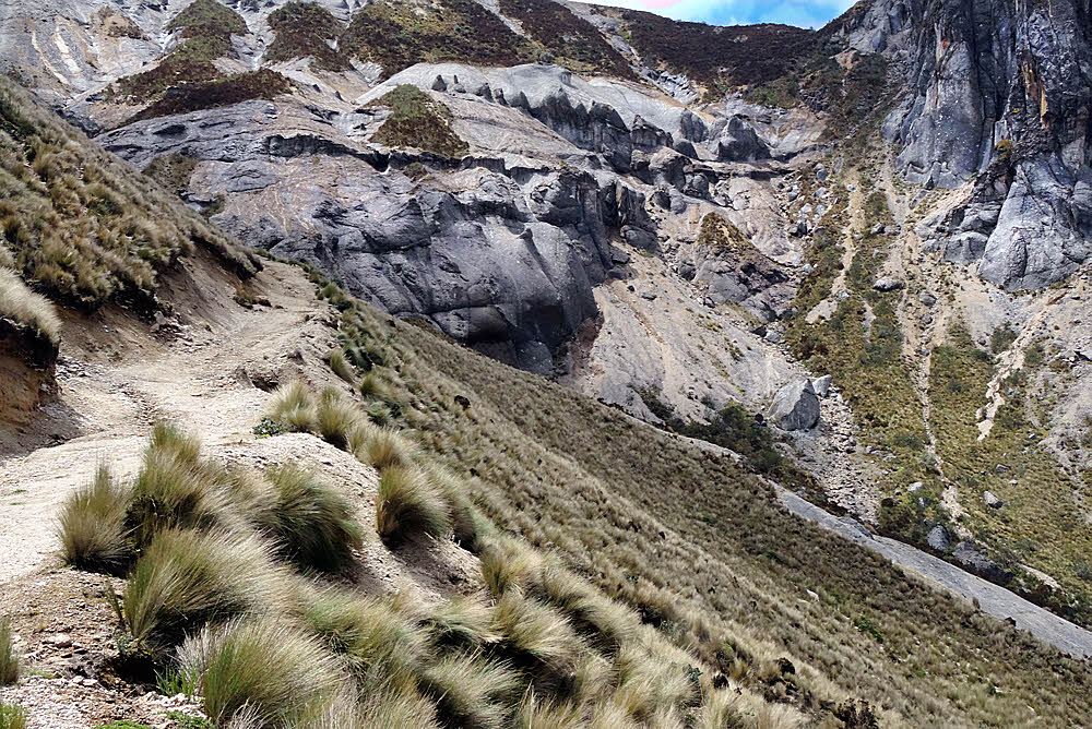
I'm not really sure where we went. Not too far out. Mark, a Brit who is living in Cuenca, had been hiking on his own and knew some places. This one was fun because it was almost kinda-sorta strenuous.
We were able to park at a sort of odd little restaurant, fishing hole, hiking location and probably more called "Rancho Hermanos Prado", right along the highway. And since it is owned and private, and there are people around all day, it's a safe place to leave a vehicle.
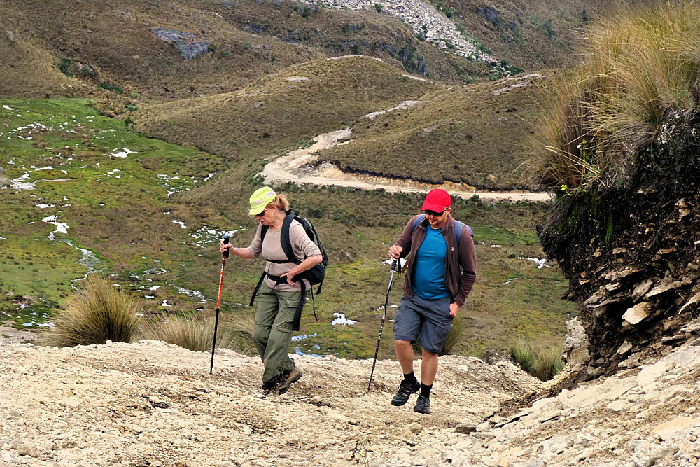
Unfortunately, I decided to beg off the next trip to leave room for others, since Mark said he had to turn away a couple of people this time, and after that things sort of petered out somehow. Barbara is from Calgary, Alberta. She has seven dogs, all of which she was sane enough to leave at home. OK by me.
Several years ago I was out on another day hike along the same highway, and got up to 14,000 feet (4300m). I don't know how high this location is, but if you're acclimated it isn't a bad little trek. There is plenty to see.
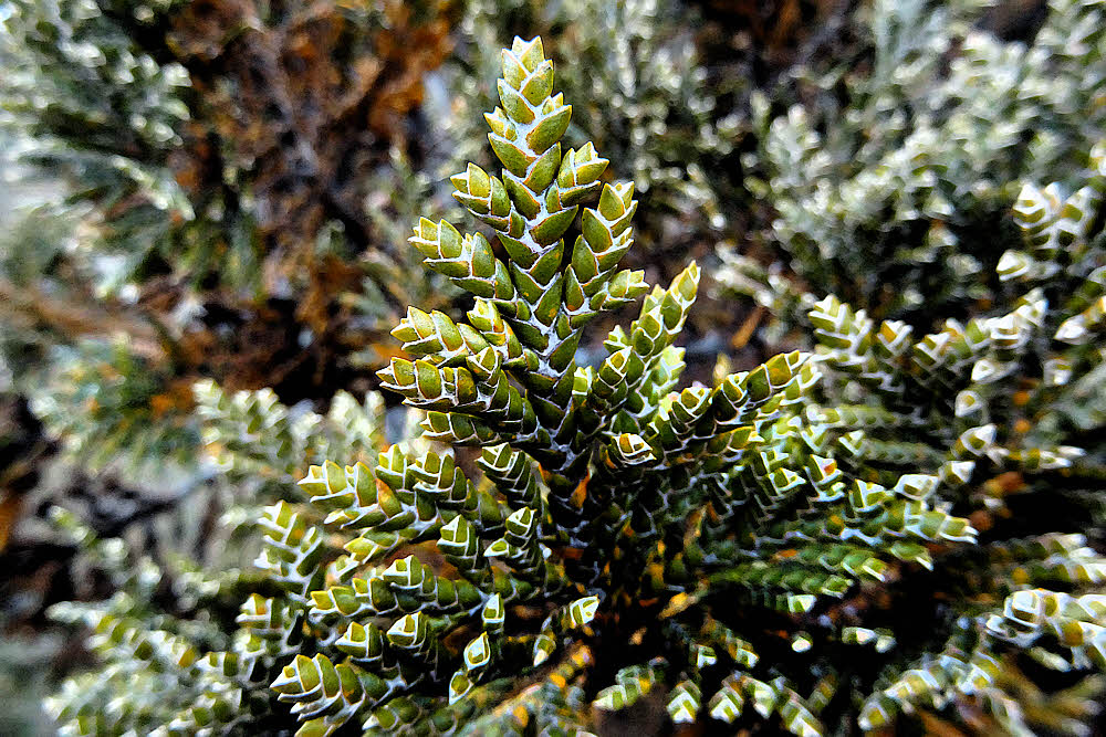
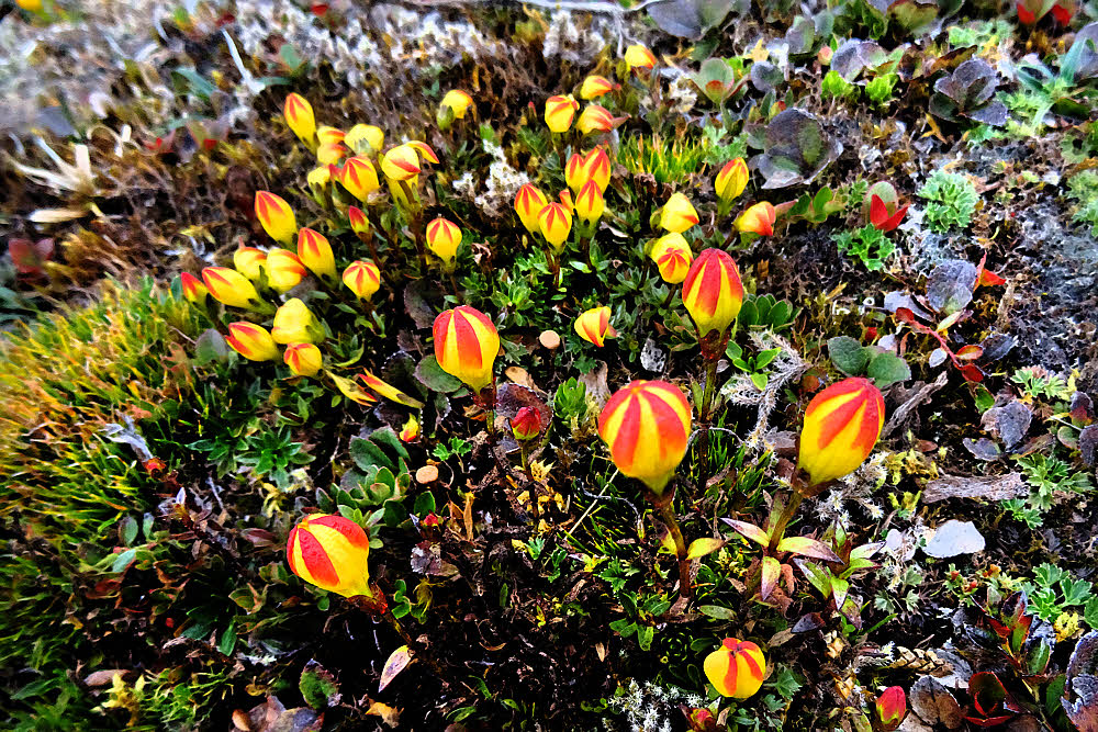
Like little orange and yellow somewhat-crocusy flowers, evergreen shrubs, ridges, mist, hail, torrential rain, and wind. It has weather, and whether or not you're going to get some is not an issue. The only issues are what, when, and how much. It didn't hit this day until just after Mark dropped us off back in town. I got semi-drenched walking home even under my umbrella.
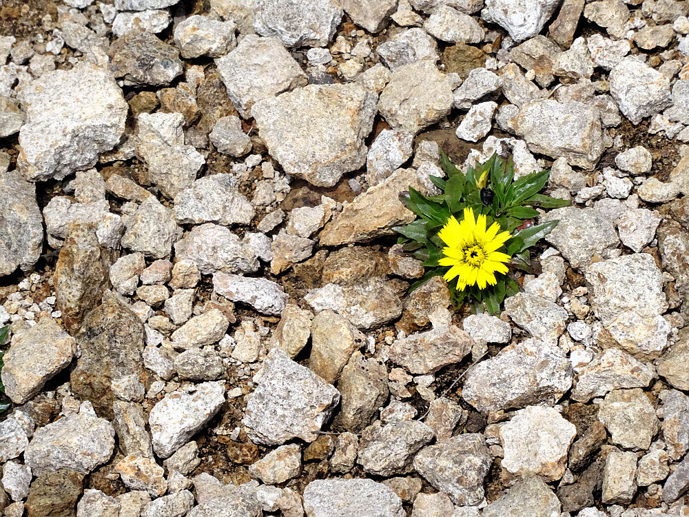
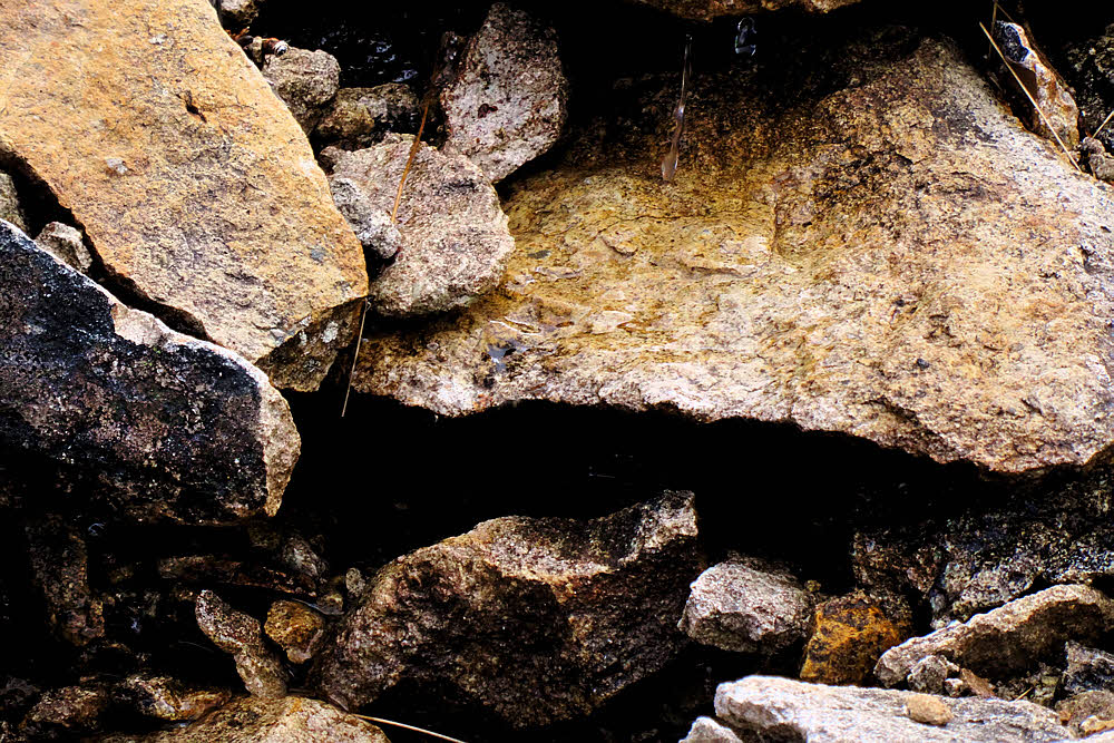
Rock. There is lots of rock. This is a volcanic area with frequent earthquakes. The land gets created and then endlessly churned. Meanwhile there is plenty of rain, and then things grow — sometimes unfamiliar things. Unfamiliar to me, but pleasant enough.
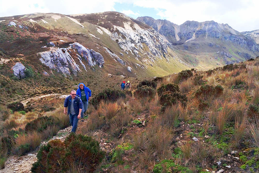
Up at the end of this hike there was some sort of radio equipment or an automated weather station. I have a couple of photos but left them out since they aren't too interesting in themselves, but there is something at the top, and the end of the road, such as it is, is there too, reasonably. So that's where we stopped and had a snack.
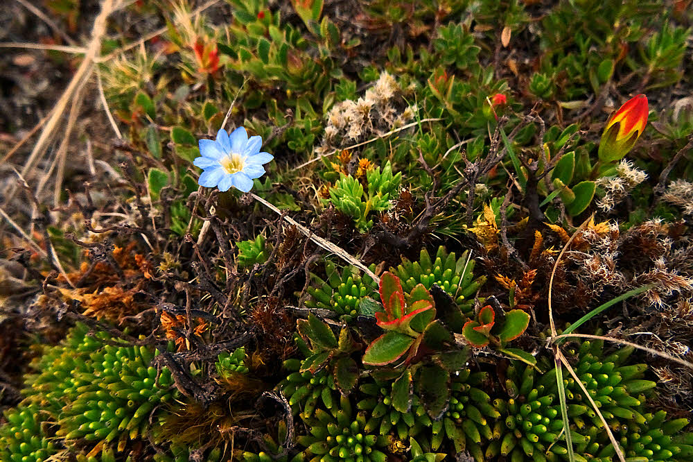
The ground is strange to me. It looks lush and vegetation-covered, and it is in a way, but get up close and the ground is mostly bare, with a layer of small, whitish, broken stone and scattered bunch-grass and shrubs.
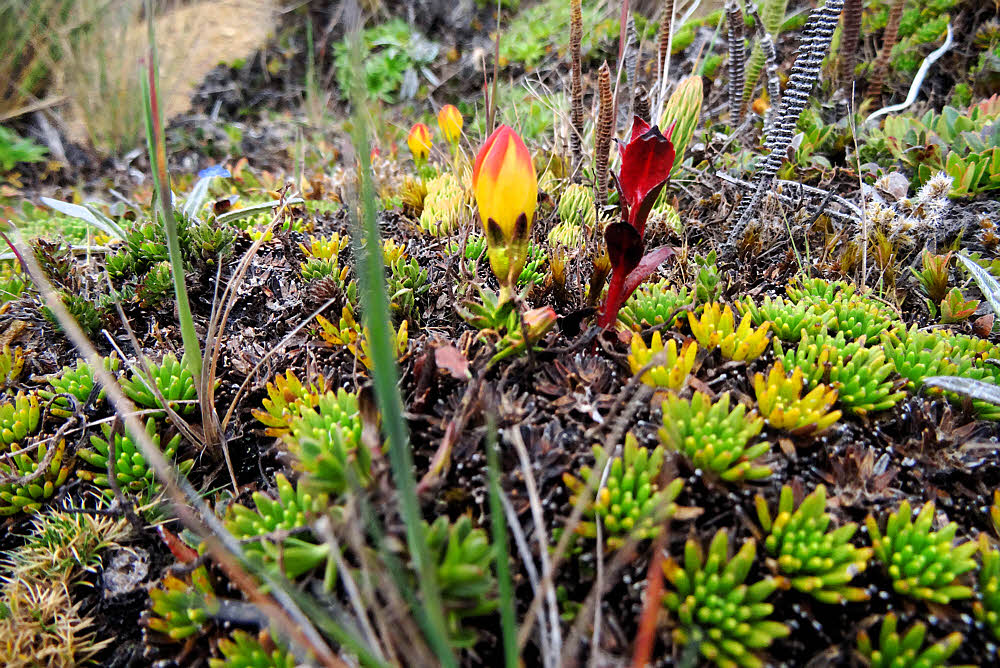
Where there is low vegetation, it is green, but not soft and cuddly like moss. I'm not sure I've seen anything you could call moss. It isn't like that.
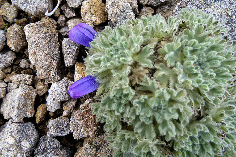
Touch it and it's hard. This isn't a soft landscape. All the plants feel like they're made of plastic.
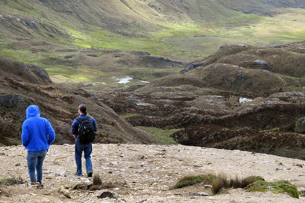
Maybe it's the wind. This is a high place. Even if the days don't ever get warm, let alone hot, and there is plenty of rain, there is always wind, and so little atmosphere that what free water does coat the ground evaporates quickly. It's a land of succulents and pricklies.
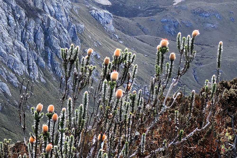
No trees either. Not this high. But lots of empty space. Lots of vistas.
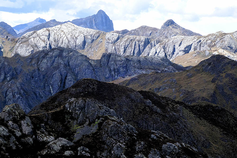
The good/bad news is that this area is easy to get to from Cuenca, costing less than a dollar each way to hop onto an intercity bus, but you have to speak Spanish and don't want to travel alone. My hearing is so poor that I'll never be conversational in Spanish, and it's hard to find anyone who likes to actually go out and hike in the dirt.
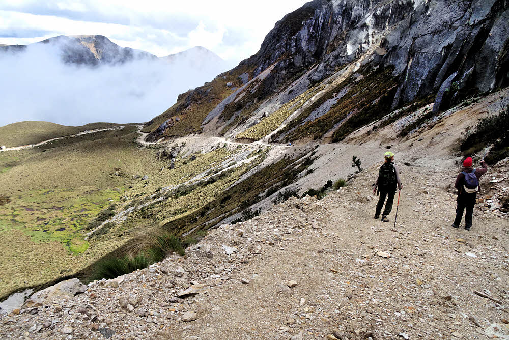
Once you do finish a day of hiking, you simply walk back to the highway and wait for the inbound bus to come along. Flag it down, pay a few cents, and end up back in town. But not so much if you're one person. Two or three or more, OK — but for one person out on the road, standing there all alone, anything could happen, and some of it less than agreeable, so I've been SOL for most of my time here. Haven't heard anything from Barbara or Mark for many months now. Due to leave soon anyway. This might be the last of my hiking here.
More info.