Looking away off west.
So, much effort for little result, i.e., this blog post.
I'm faking it while cleaning out old photo files, and being a little mouse of a blogger way off to the side of what is currently the internet, well shucks then. What more do you need? It's a gesture, isn't it? A gesture to show you that I still love you, even if we'd get along for no more than four seconds in real life, you and I. But since I live in the abstract, gestures count.

To the southwest, toward the heart of Olympic National Park.
Living in paradise as I'm doing at the moment, wouldn't we expect that there is ever so much going on, to do, to share, to experience? Yep, I think so. But since reality don't give a snit what I think, no. It's dead here. Things were better six years ago when I first got to Cuenca. (That's in Ecuador.) More squirrelly, less predictable, odder.

I've never understood this place. That seems right, the way you never understand home.
Since I can't seem to keep away, I was back in the U.S. from the start of March, 2018 until the end of July. Had big ideas. Uck fupt big time. Bailed. Figured I'd make up for it here in Ecuador. I've been back over eight months, watching, checking every day, looking, and still have not found a single person wanting to go out hiking. At least there used to be a few people. Maybe they saw me coming.

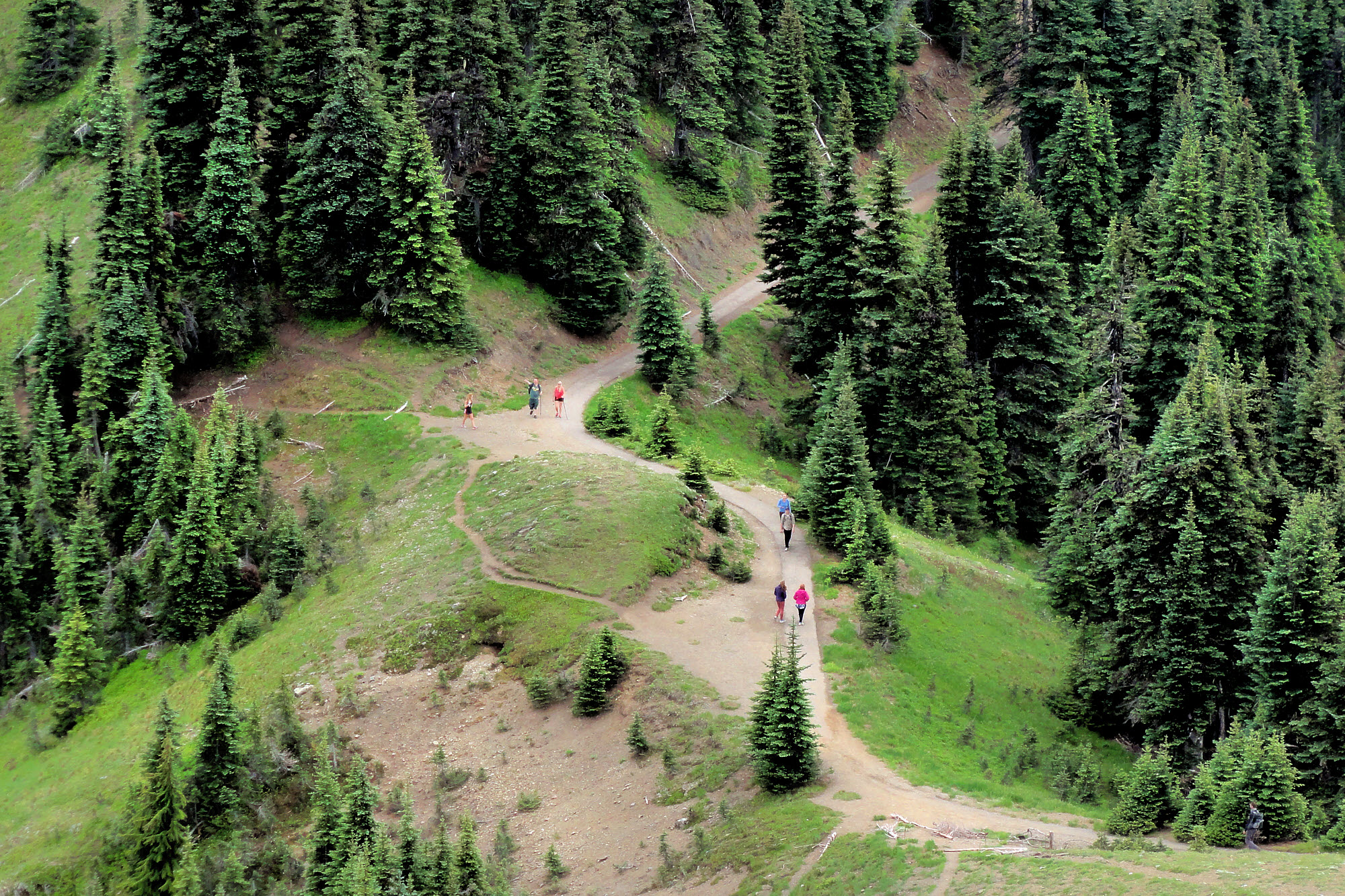
Hikers. One man, two girls. They came in peace and left with no trace.
This place is getting settled.
It's a lot more "civilized" than it was in November, 2012, when I first stepped off the shuttle van from Guayaquil, looked around and thought "grubby". My first impression. Grubby. Not quite so much any more.

This grassy swathe appears blank or even snowy on the Google Earth images below. Anything but. Lovely, don't you think?
Six years on, there is still construction going on everywhere. New buildings. Remodeled old buildings. More traffic lights. Better internet. Retired gringos getting over their wonder and settling into brain-dead old age. Less experimentation, more suburbanization, if we can call it that. (Smells like it.) No hiking groups. At all.

From above and to the right of the rocky outcrop in the previous two images.
Anyway, I myself am not dead yet, but any day now I could wake up dead, so maybe I'll be back in the U.S. for one very last ultimate try at being a gnarly backpacker and traveling around and stuff. Possibly. Am I just old and stupid? Also possibly.

The now free-flowing Elwha.
Last year definitely did not work out, though 2014/2015 was not all that bad, when I was living in Port Angeles, WA, right underneath Olympic National Park, and going there quite a bit, and this is where today's photos came from. (July, 2014.)

And they, far ahead, prepare to vanish into forest.
Drive up to the Hurricane Ridge Visitor Center, go right for a mile or two, and you get to the Hurricane Hill parking lot and trailhead. Everything in the U.S. has a parking lot, doesn't it? That's how you can tell you're there. If not, then it isn't real.

Another view off west.
Anyway, hike up and look over the top to the Strait of Juan de Fuca or hike farther west, or do both. Go far enough and first you're on the backside of Hurricane Hill and later on, if you keep going, you're about a mile (1600 m) lower, and just about able to spit into the Elwha River, if that's your specialty. Don't go that far and you don't have to sweat so much, and can sort of noodle around and feel on top of the world because you are. If that isn't enough, and you get bored, you can whistle back at the marmots or take a nap on the grass. Nice.

Southwest. Summer here always seems like forever.
So here's what I've got out of it. The photos look a little impressionistic because that's what happens when you take a tiny little camera and point it at infinity and then try to make sense of it. But you get the idea. Forgive me.

Toward Olympus. I think. Sky and peaks and snow and sky.

The start and the end. Start there and hike this way. Lots of "up". And then hike down again when it's all over. And then go home remembering that it's about more than just you.

Area map. Hurricane Hill in relation to Hurricane Ridge. Port Angeles is just off the map toward the top.

From Google Earth. Looking approximately ENE. The sort of "snowy" area is actually mostly grass.

From Google Earth. Looking roughly north. The long left-right light area near the top is Hurricane Hill. To the lower left is the former Lake Mills.

From Google Earth. Straight down, showing the trail from way up high down to the Elwha River

From Google Earth. Looking roughly west. Where you see "Windy Arm" is the former Lake Mills, now the restored Elwha river. Foreground is Hurricane Hill.
Restoration of the Elwha River
Remember, flies are nature's way of saying that you're still yummy.
Have something to add? Send email to sosayseff@gmail.com
See if that helps.
As always, Effort or Eff it. No sniveling.